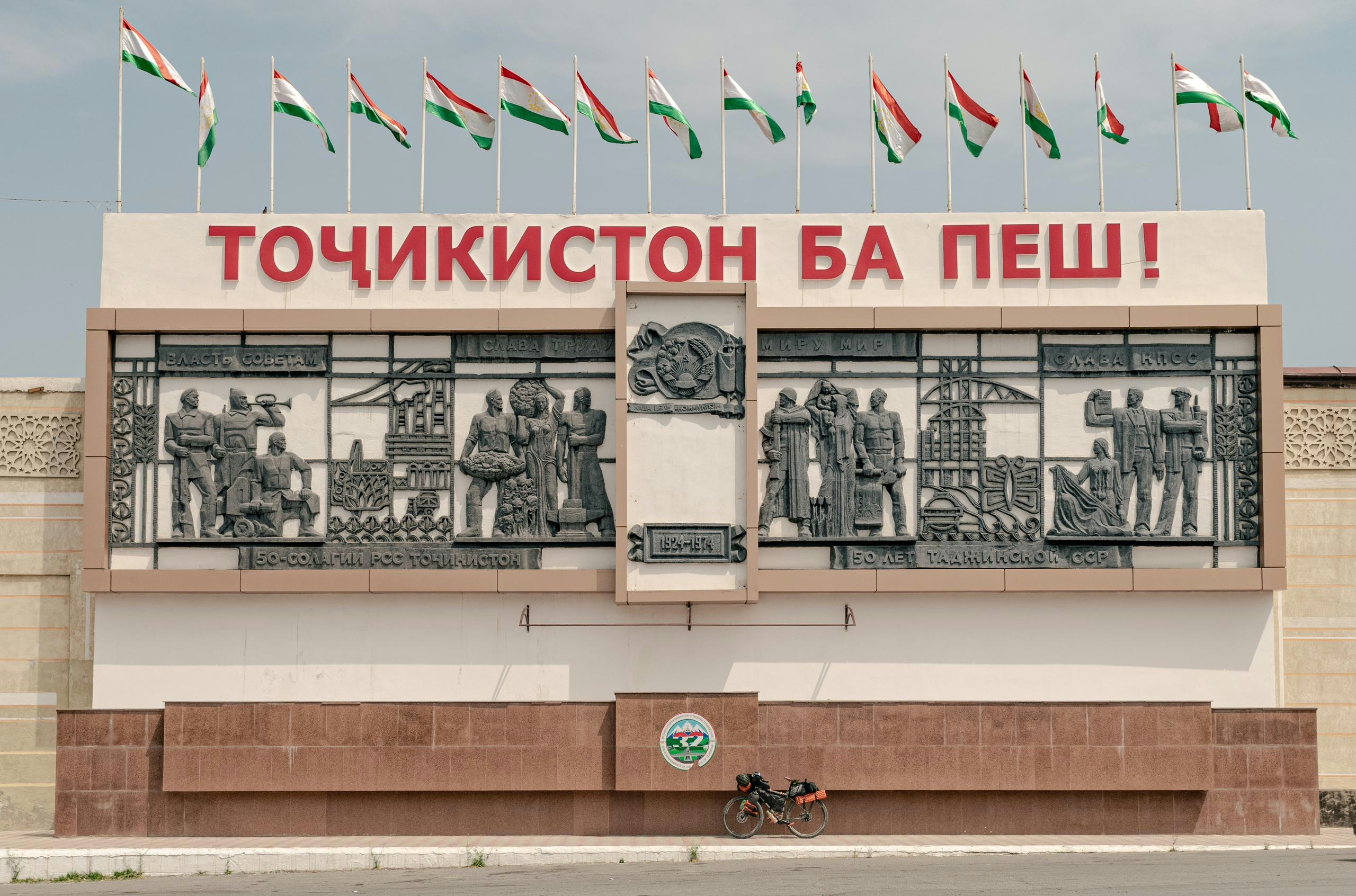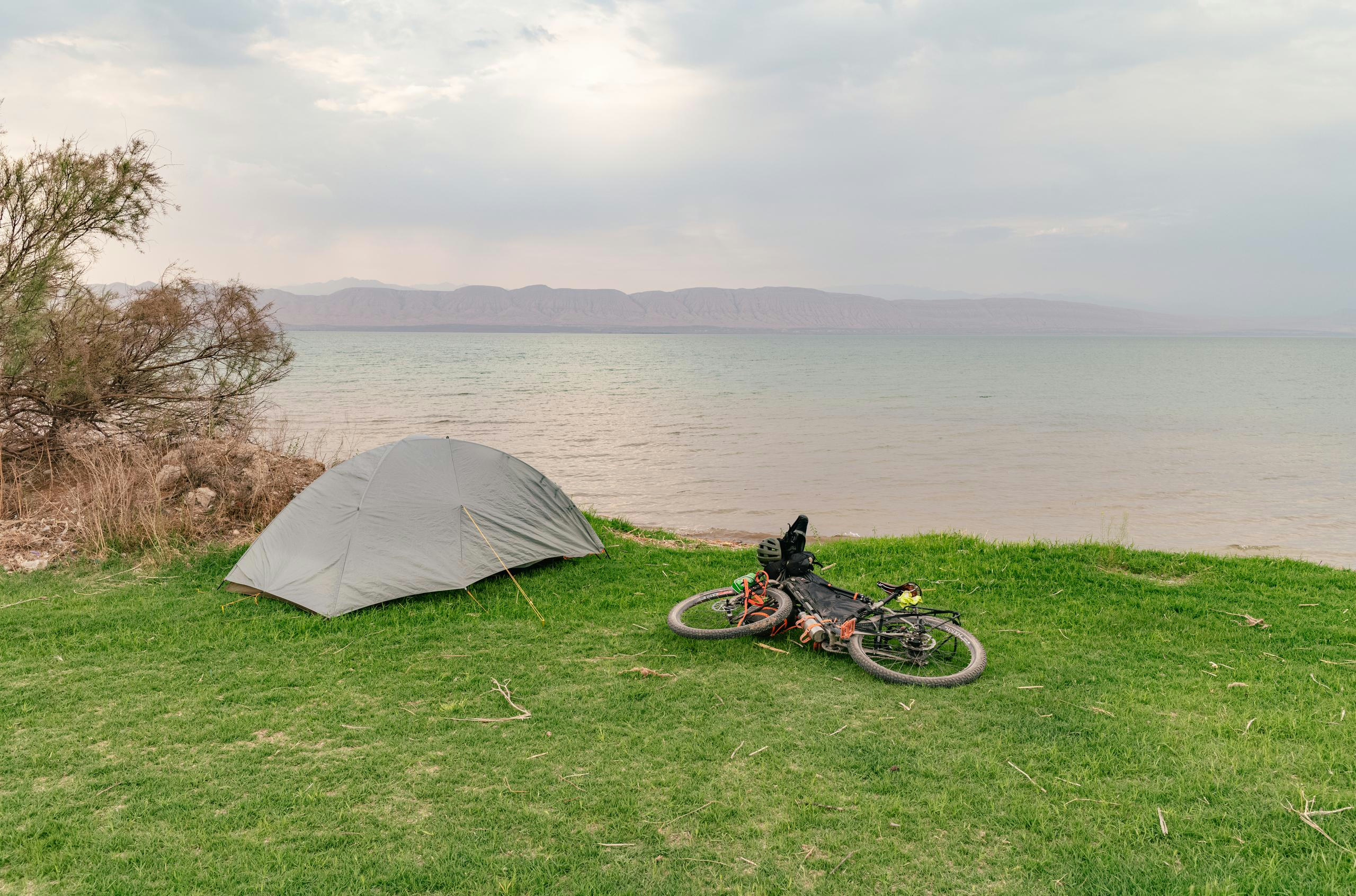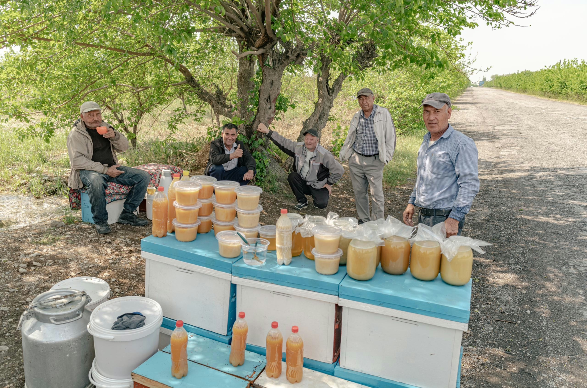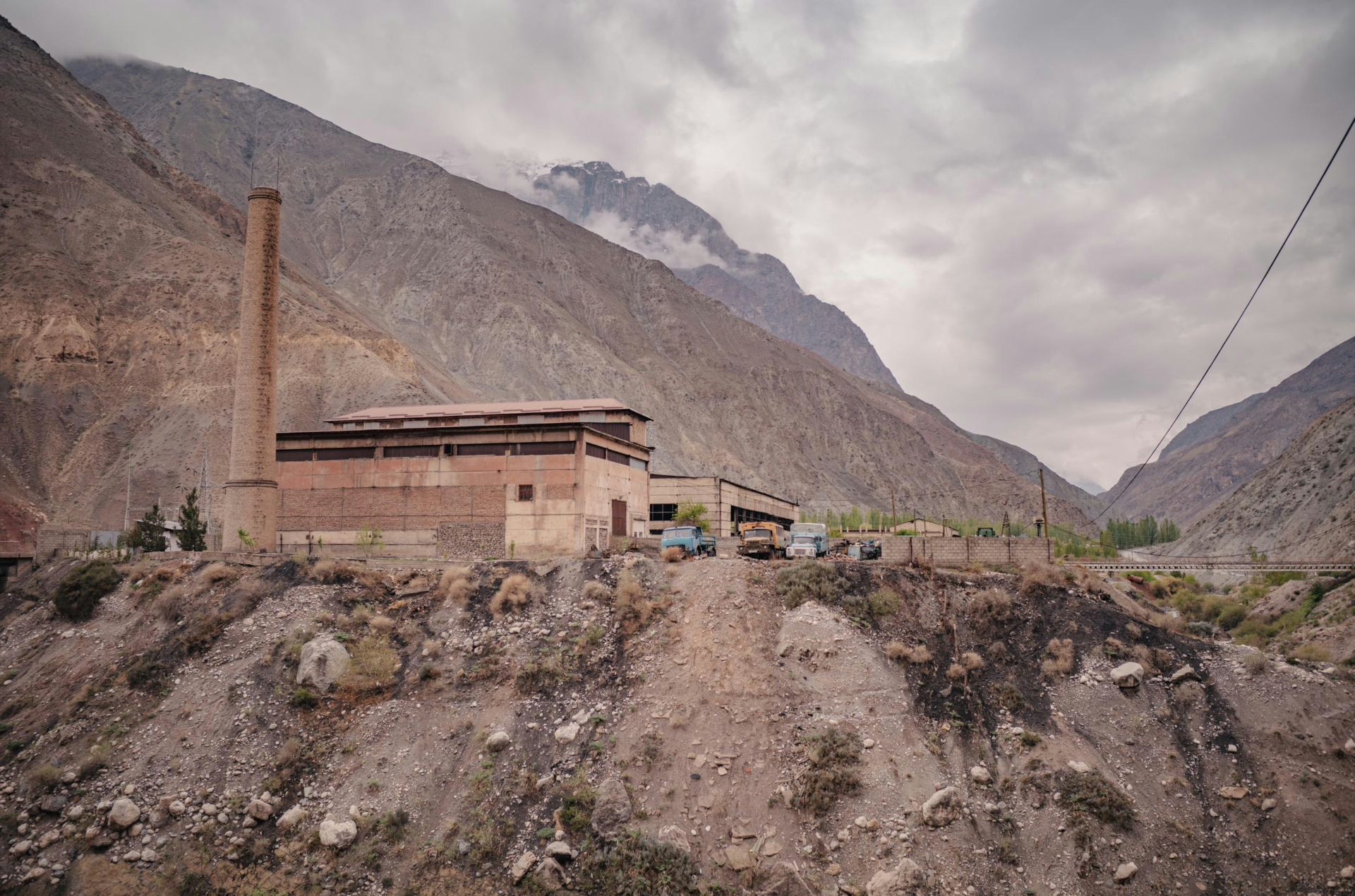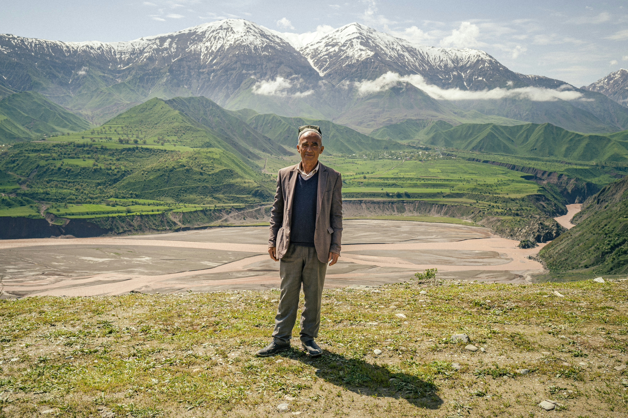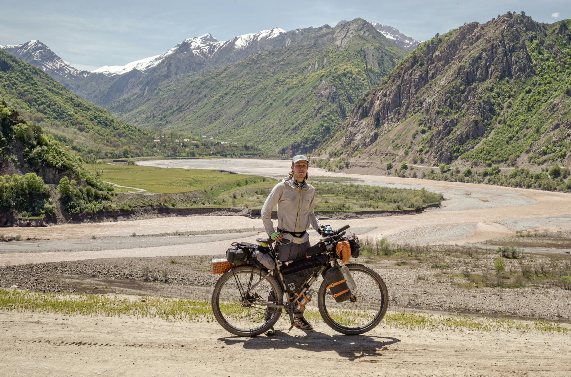
My journey across Tajikistan began in the Fergana Valley in the northern and least mountainous part of this landlocked country. It is therefore more densely populated than the other regions, so I quickly experienced the famous Tajik hospitality, being invited for lunch while searching for a working ATM in the city (easier said than done!), or given fruits and honey on the side of the road.
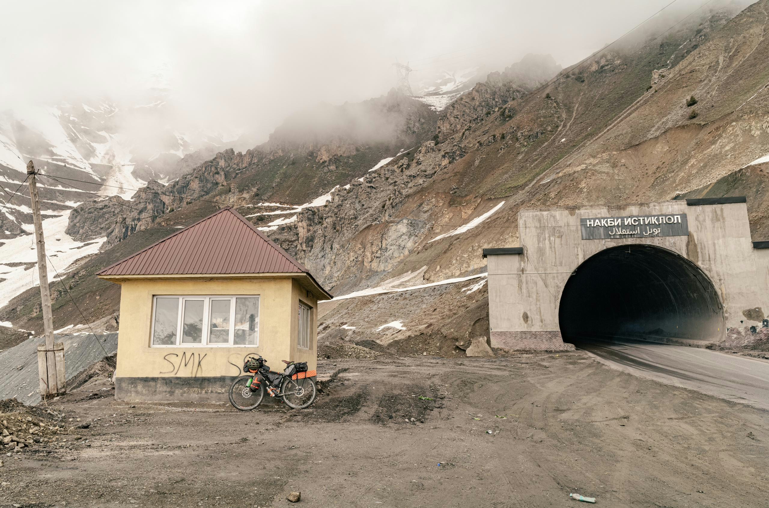
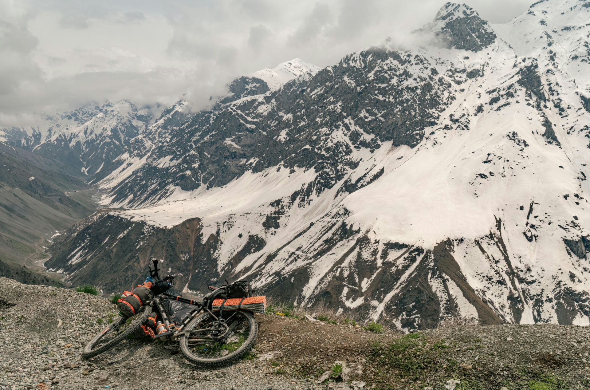
On my way to the capital, Dushanbe, I had to overcome the first major mountain range, the Zarafshan mountains. It’s a scenic climb up the pass, at the top of which you will find the Anzob Tunnel, according to Google the most dangerous tunnel in the world. Because of the lack of lighting and ventilation it is better to hitch a ride through it, and so I did.
After a while I reached Dushanbe, where I had to spend a few days to sort out some registrations and permits for the upcoming stretch on the Pamir Highway.
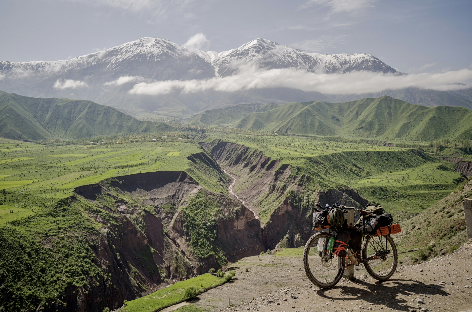
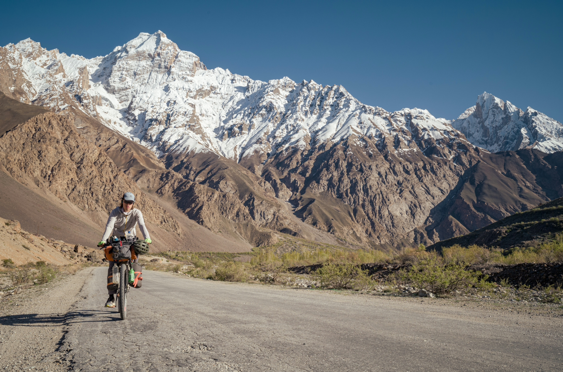
After a few days I embarked on my journey of cycling the Pamir Highway, and I had to make a decision of which route to take, as there are multiple options: The old M41 built by the Soviets, the remote Bartang Valley or along the Wakhan Corridor. I opted for the first one, as I could certainly complete it within my 30 day visa-free stay and I wouldn’t have to worry about dangerous river crossings, which are common at this time of the year (early May). But it is arguably a bit less adventurous.
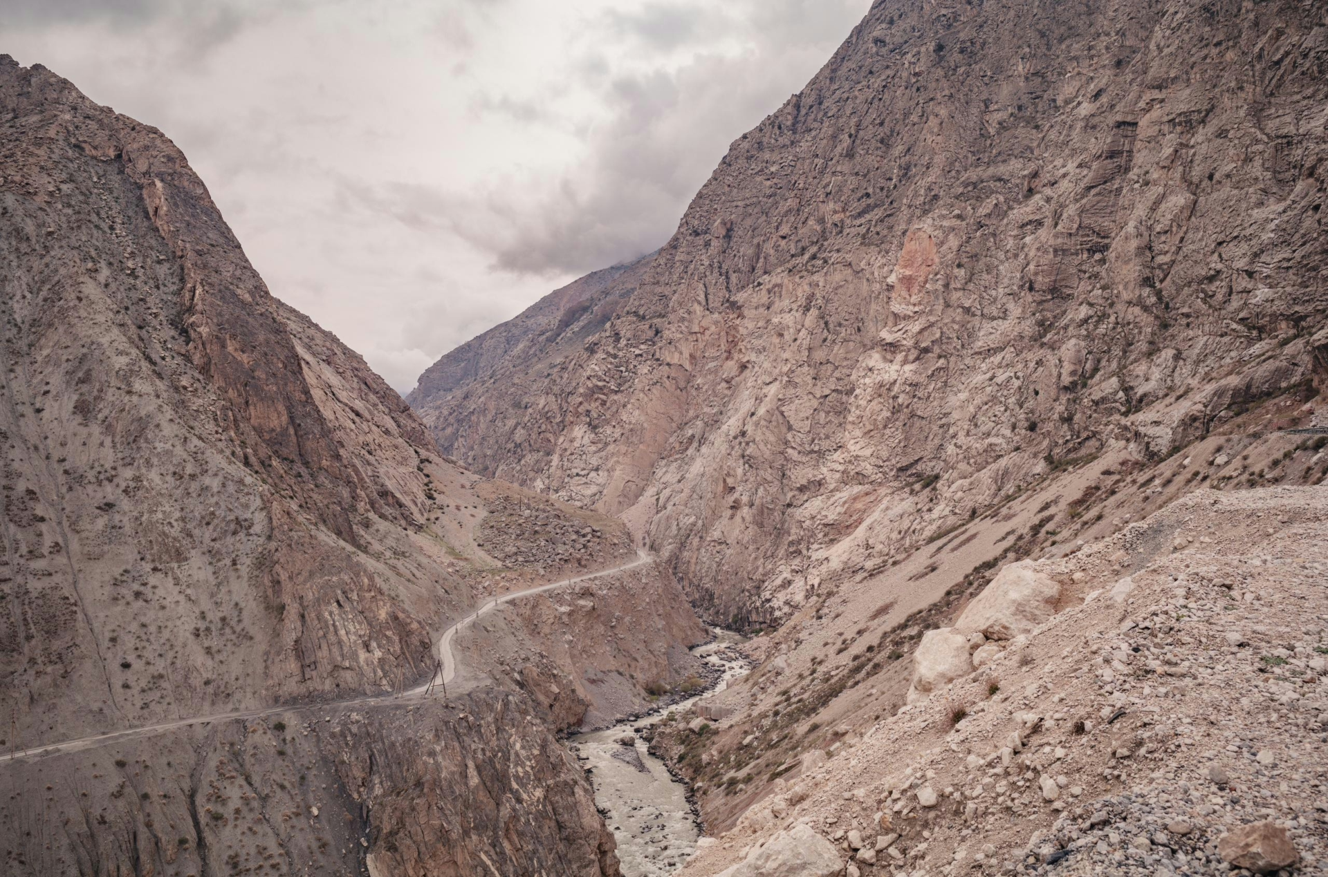
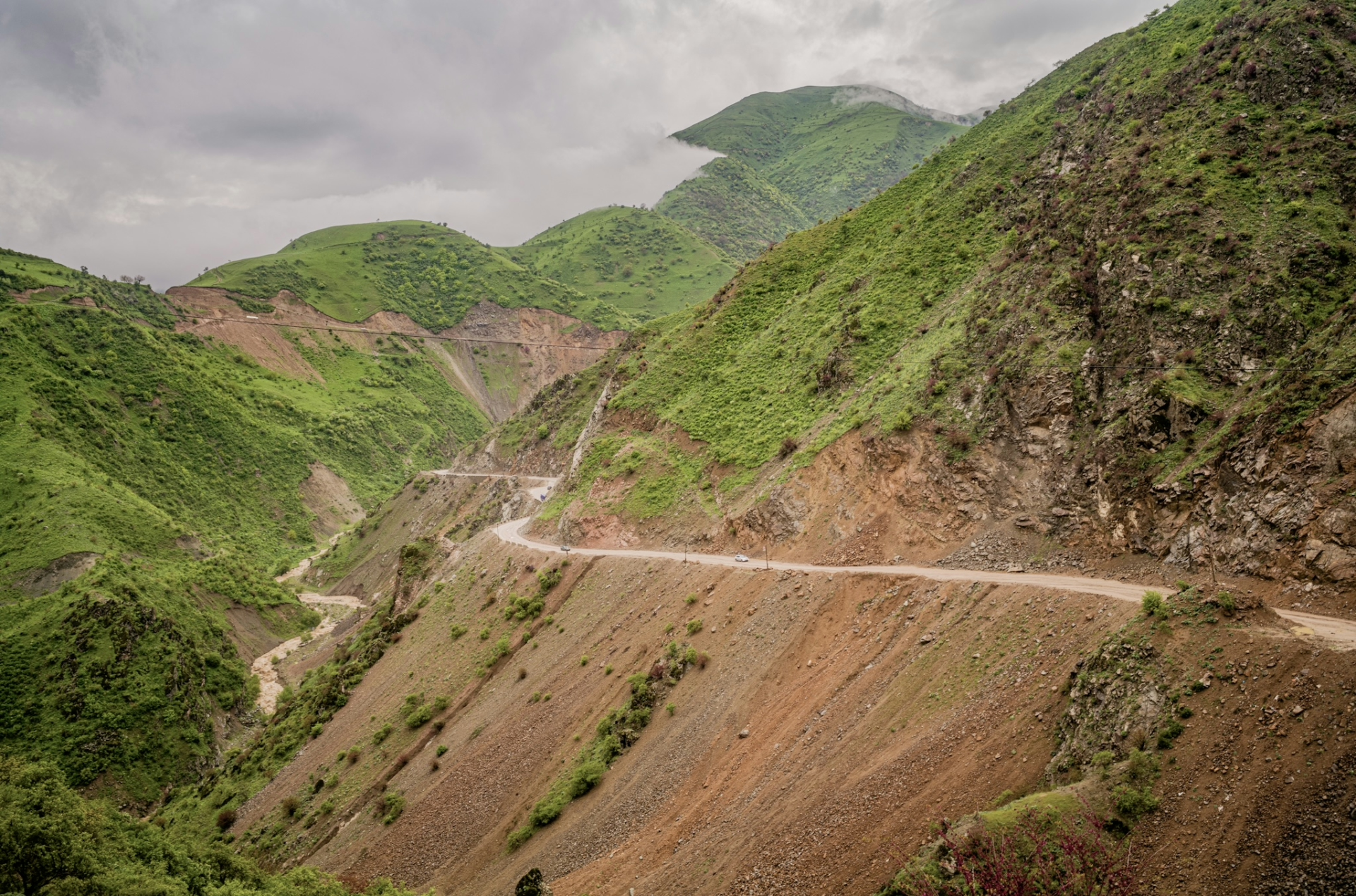
Because of this fact I decided to take a detour to cycle the Tavildara/Sagirdasht Pass, often deemed the most challenging part of the Pamir highway thanks to its steep inclines and horrible road conditions. While this was the main route back in the day, it is essentially abandoned nowadays, as the Tajiks built a new Southern highway which eventually connects with the old M41.
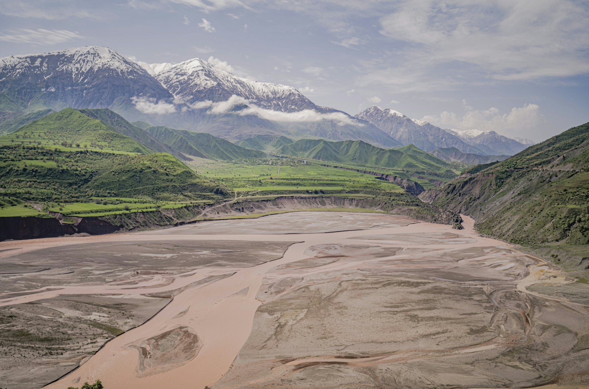
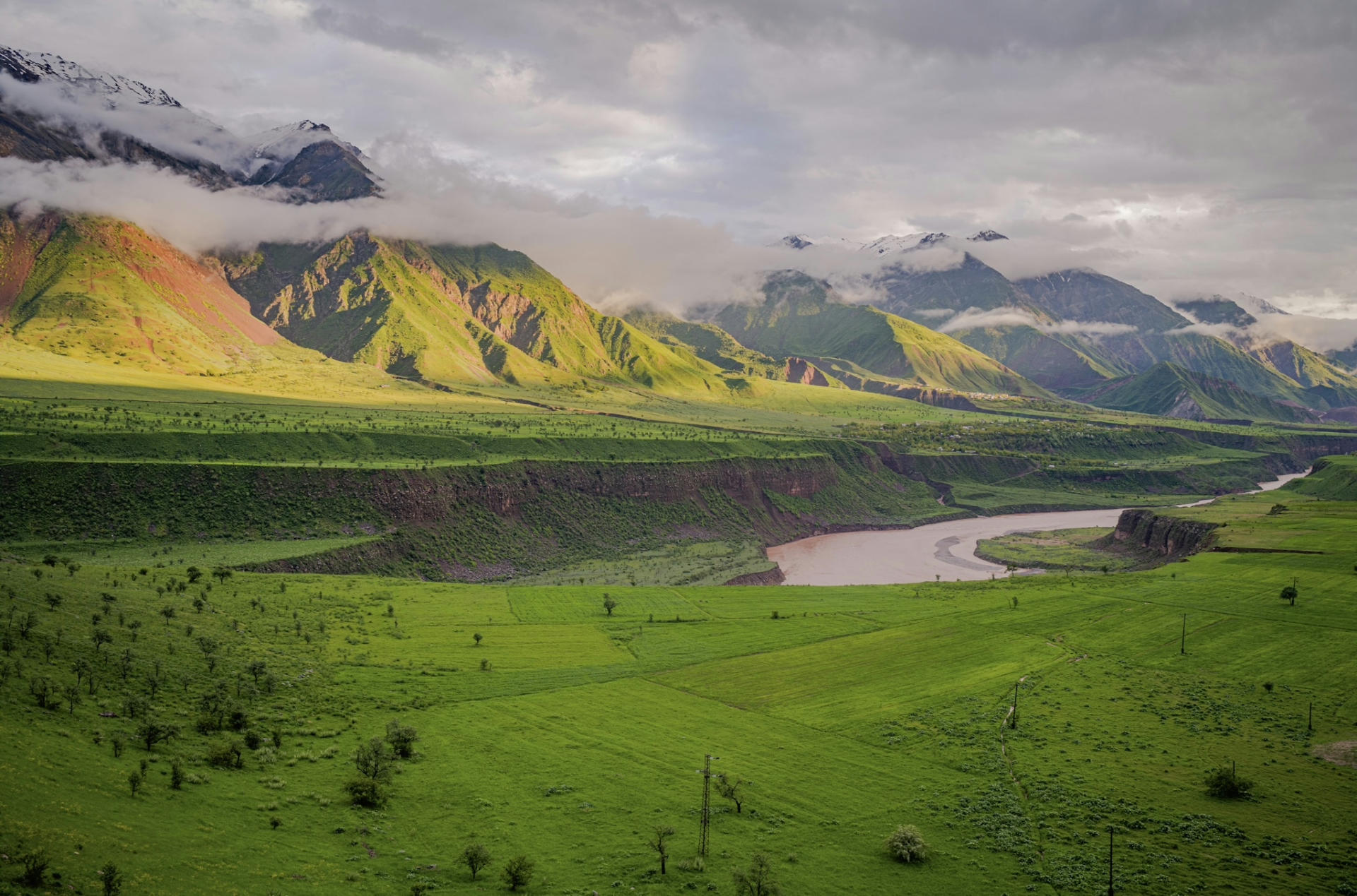
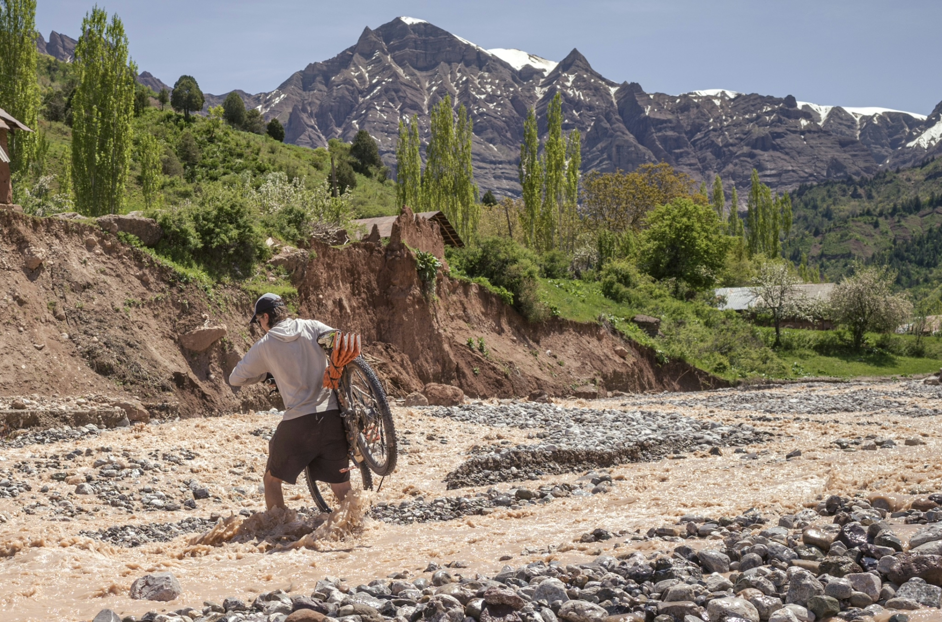
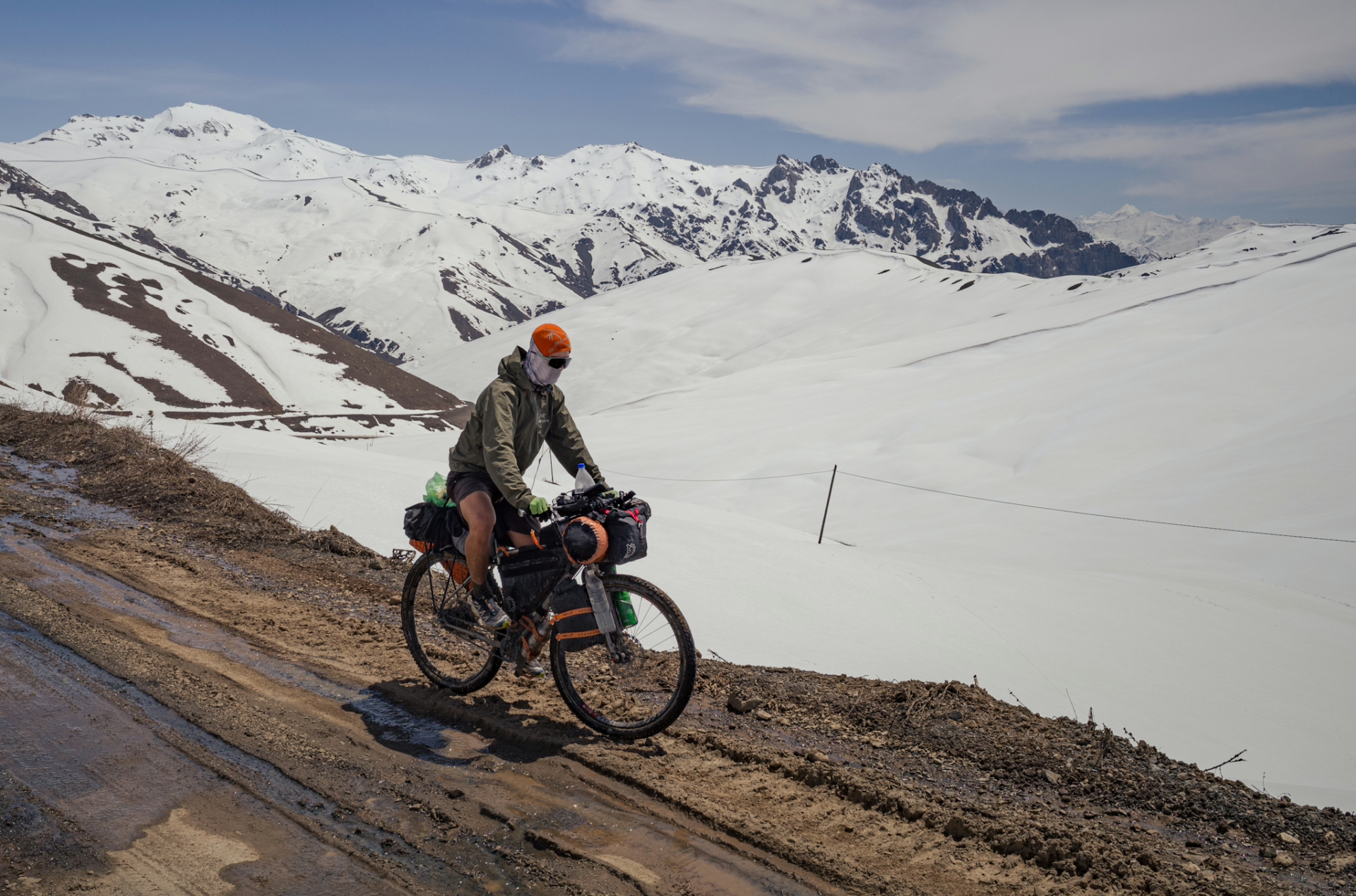
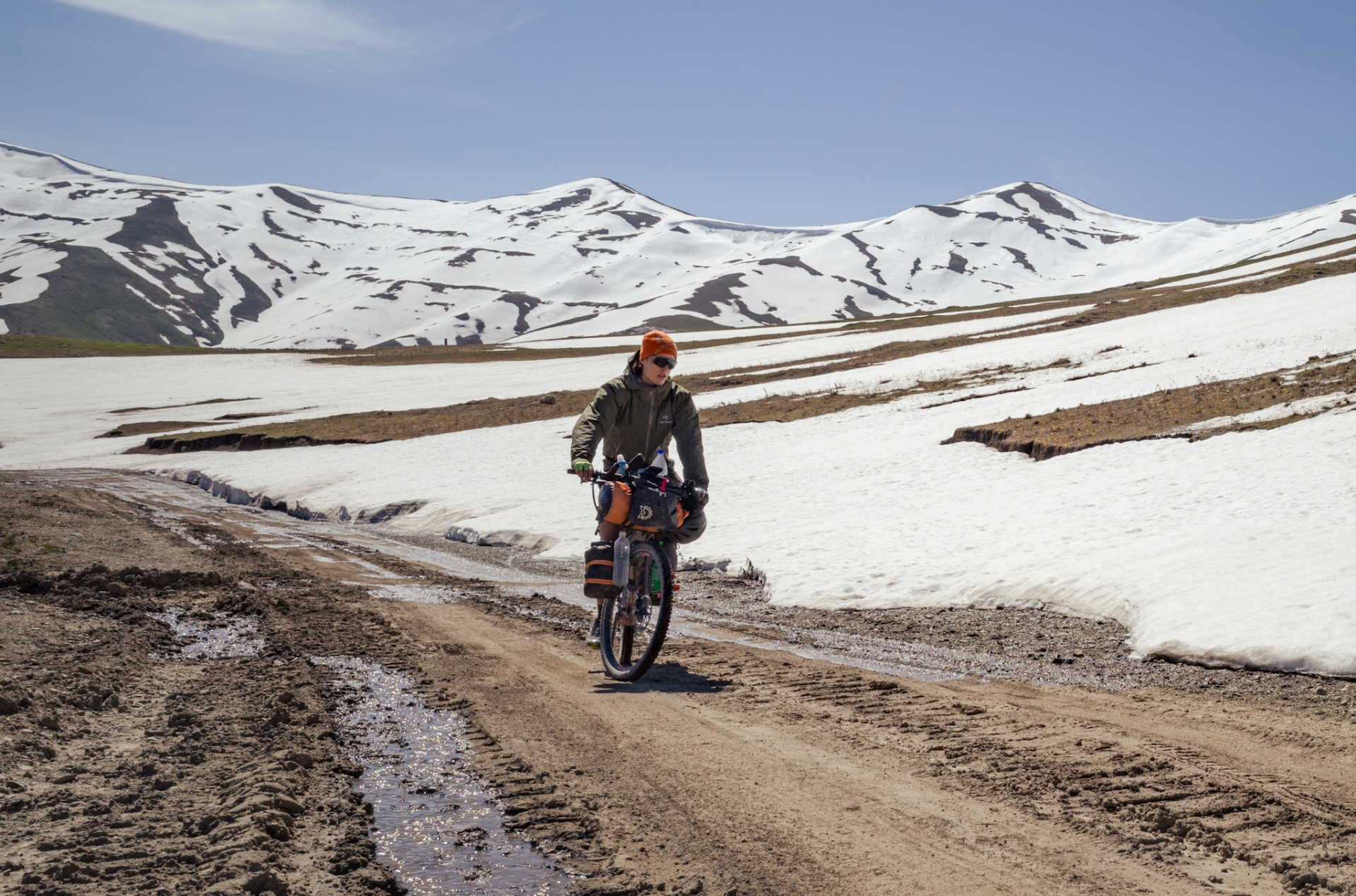
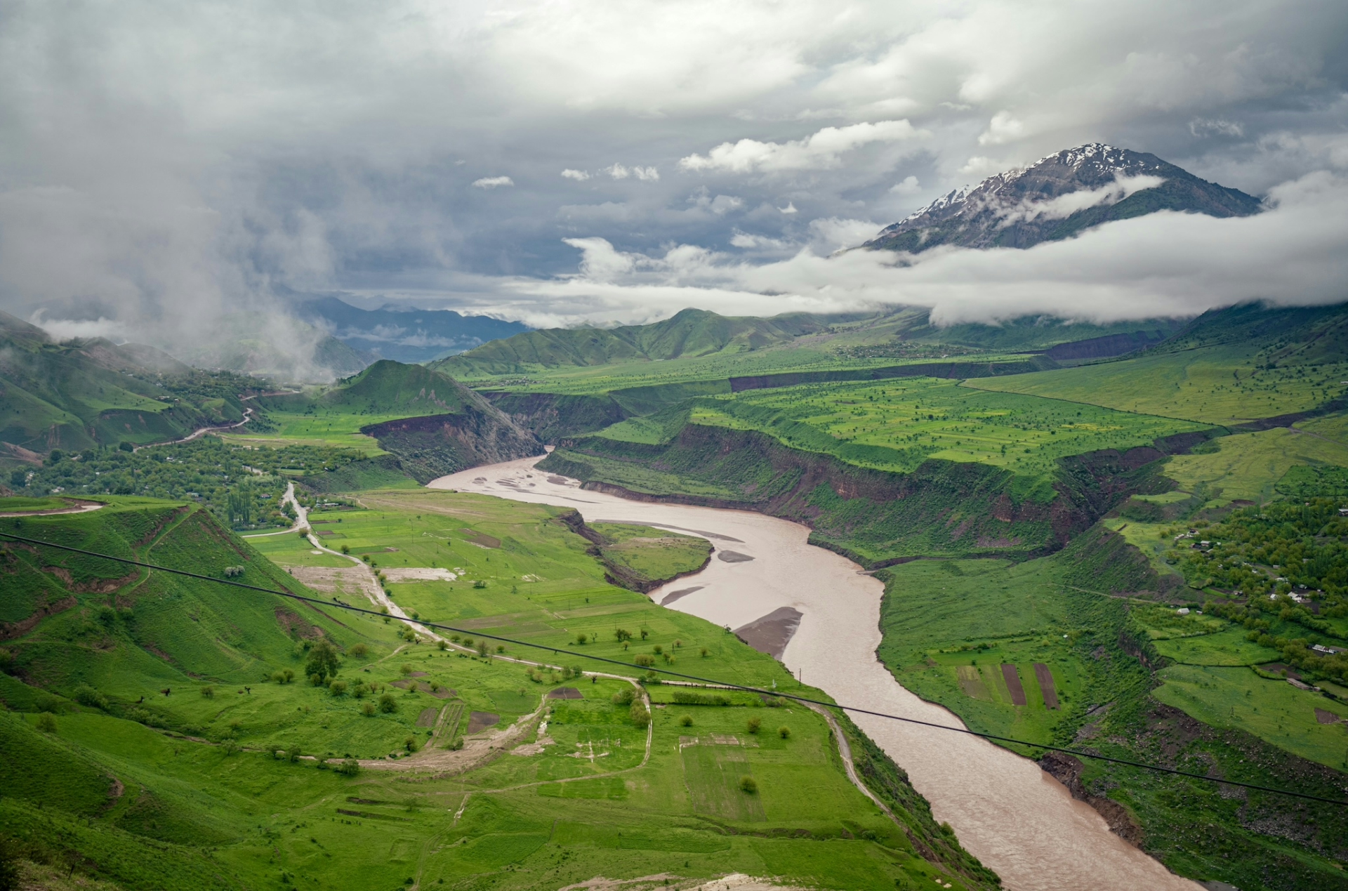
In hindsight I can confirm that this part was the most difficult, not just because it is mostly off-road, or because you have to climb ~4300m over a distance of 190km, but also because of the countless river crossings, at least two off which I would classify as dangerous for us two-wheelers. The fact that it had rained for days beforehand probably didn’t help my case. I even had to spend an extra day in a village because the rain had destroyed a bridge, making the route impassable. At least the landscape was super green, which is rare in Tajikistan.
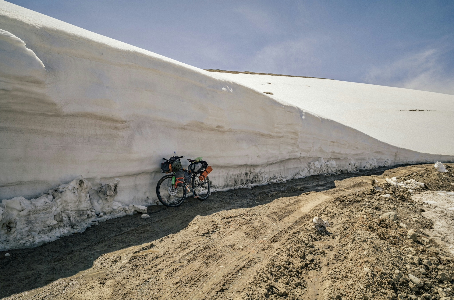
After cycling through the smaller, and carrying my bike through the bigger crossings, I eventually made it over the 3260m high pass, which pleasantly surprised as it still had meter-high snow. The extremely muddy “road” at the top was less pleasant. Chosing this route was worth it, but later in the year, when most snow in the mountains (and on the road) has melted, it should be much easier.
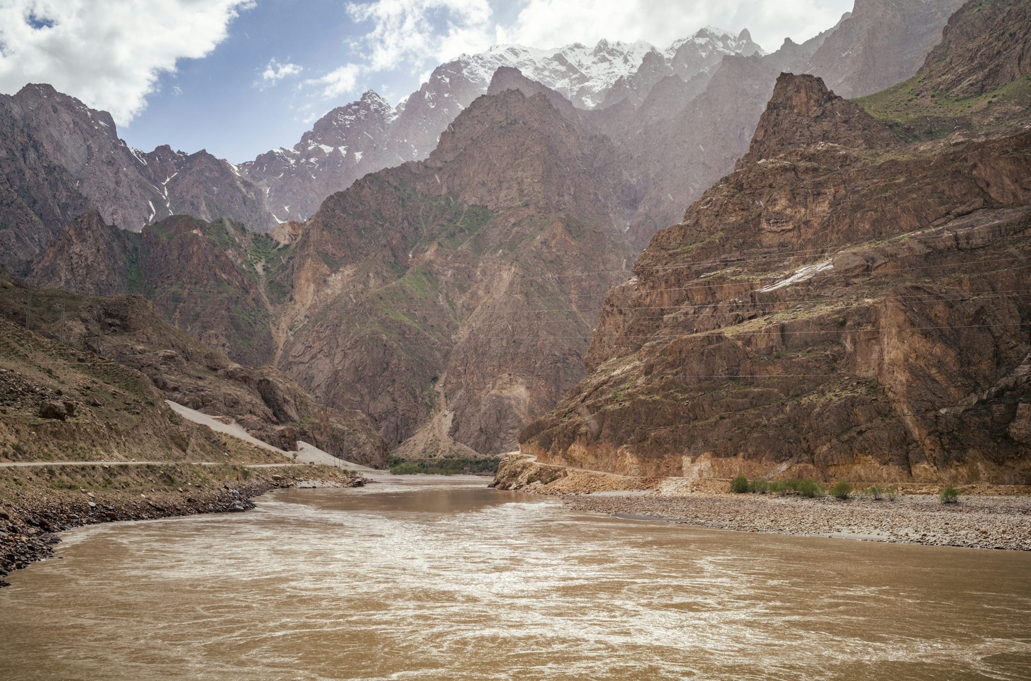
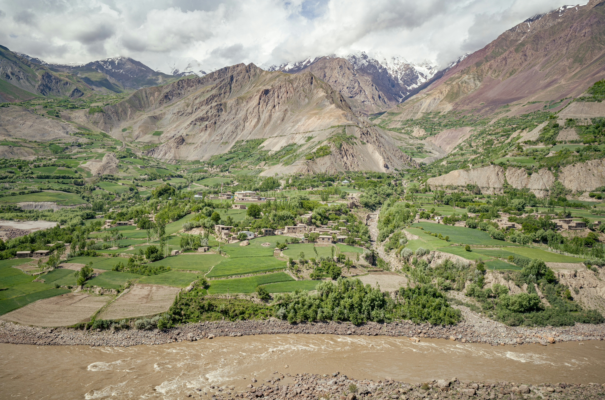
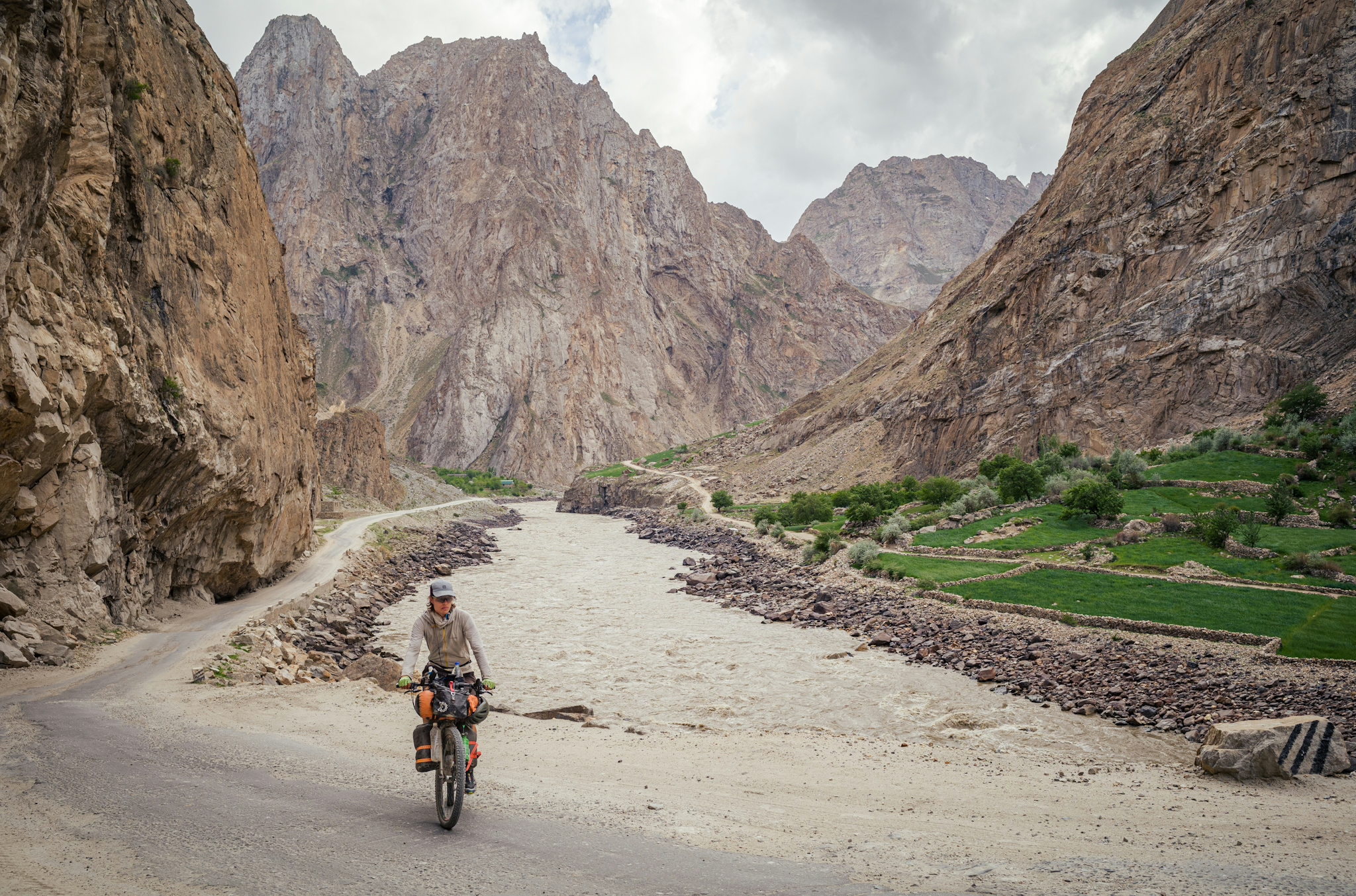
After a quick descent down the pass I reached the Wakhan Valley, where the river Panj creates a natural boundary separating Tajikistan from Afghanistan. On both sides there are small, yet incredibly scenic villages located on the edges of the towering mountains. Though there are a few differences:
On the Tajik side, mainly inhabited by Pamiri people, you will find fairly modern houses, electricity, tourist facilities and a road that is currently being paved thanks to China’s Belt & Road Initiative.
On the Afghan side, time seems to have stood still for a while. Houses made out of mud and clay, no electricity or running water, and the mode of transportation are donkeys and old motorbikes. It is also more ethnically diverse: You will not only find Pashtos and Pamiris, but also Wakhis and even nomadic Kyrgyz at the higher pastures.
Despite the occasional Taliban flag on the other side on the river, and the patrolling Tajik soldiers, it is a safe region, as it has been in the past thanks to its remote location. Regardless, it’s a special experience cycling along this river, glimpsing into the daily life of Afghan farmers, with kids playing at the water and waving at you.
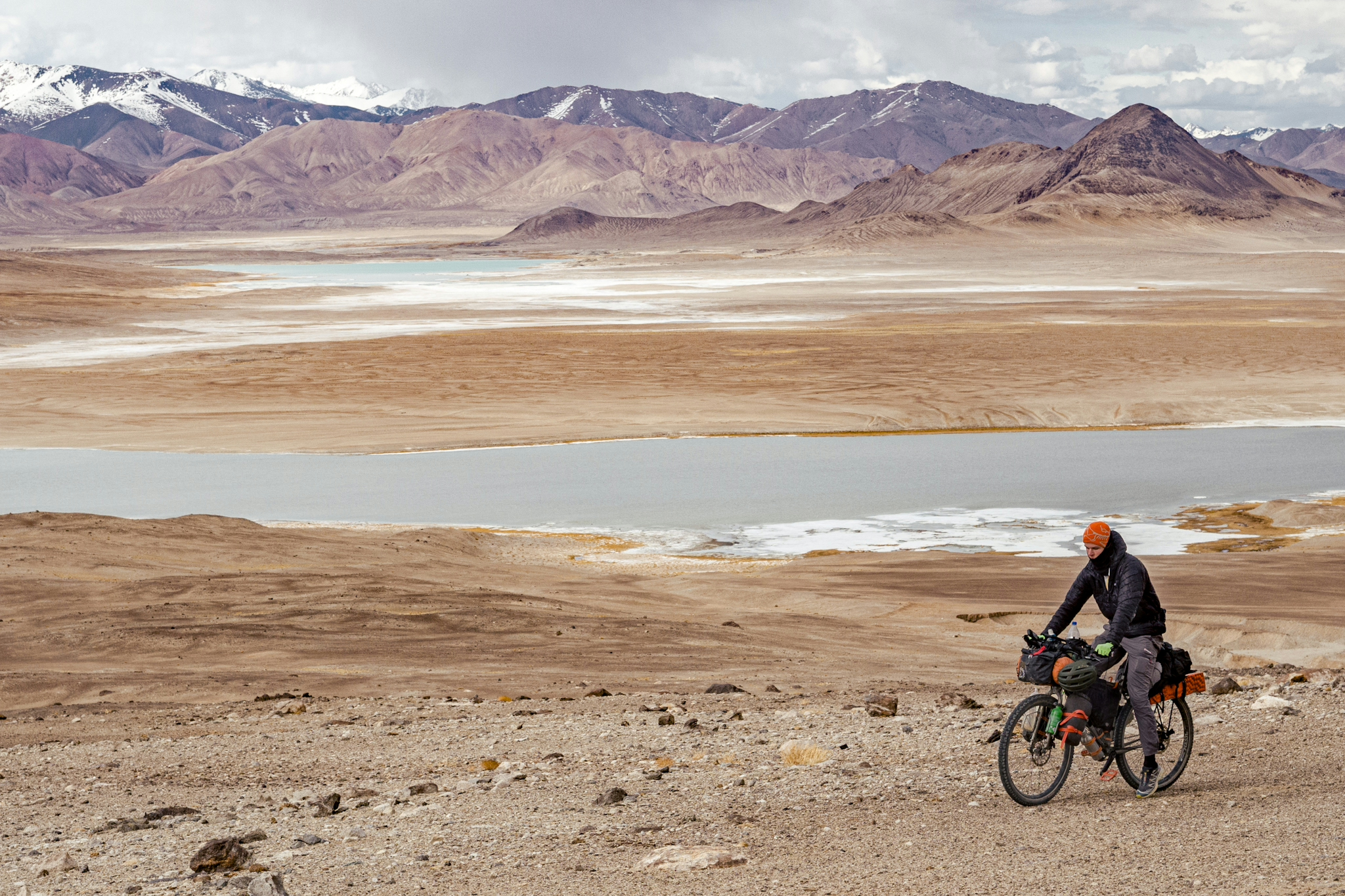
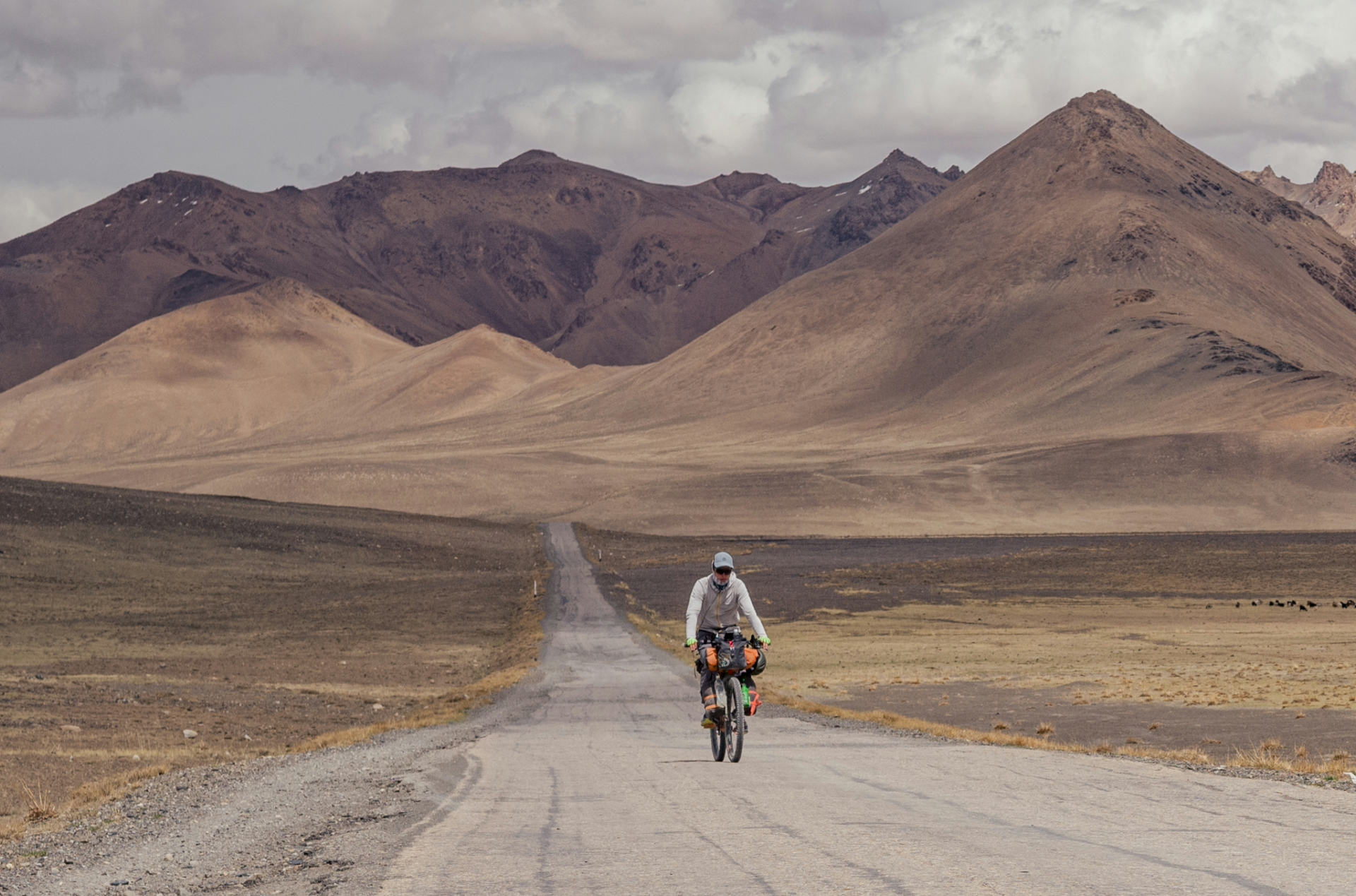
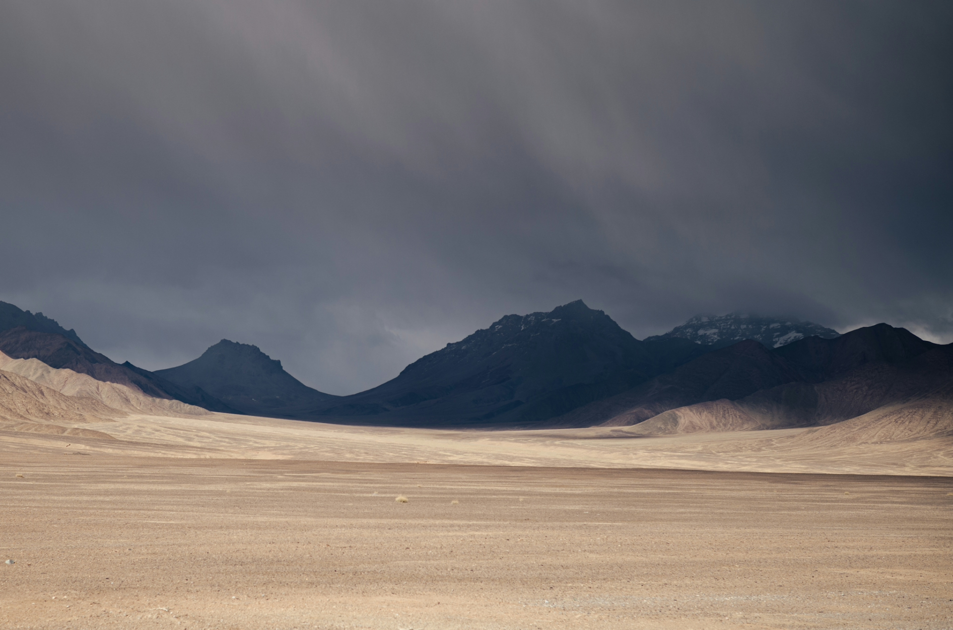
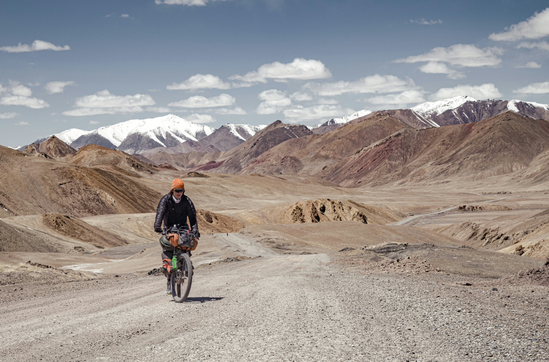
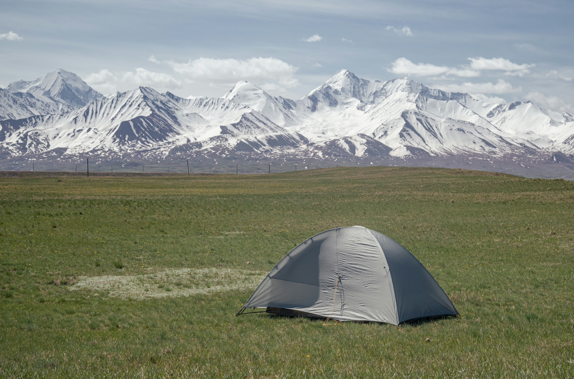
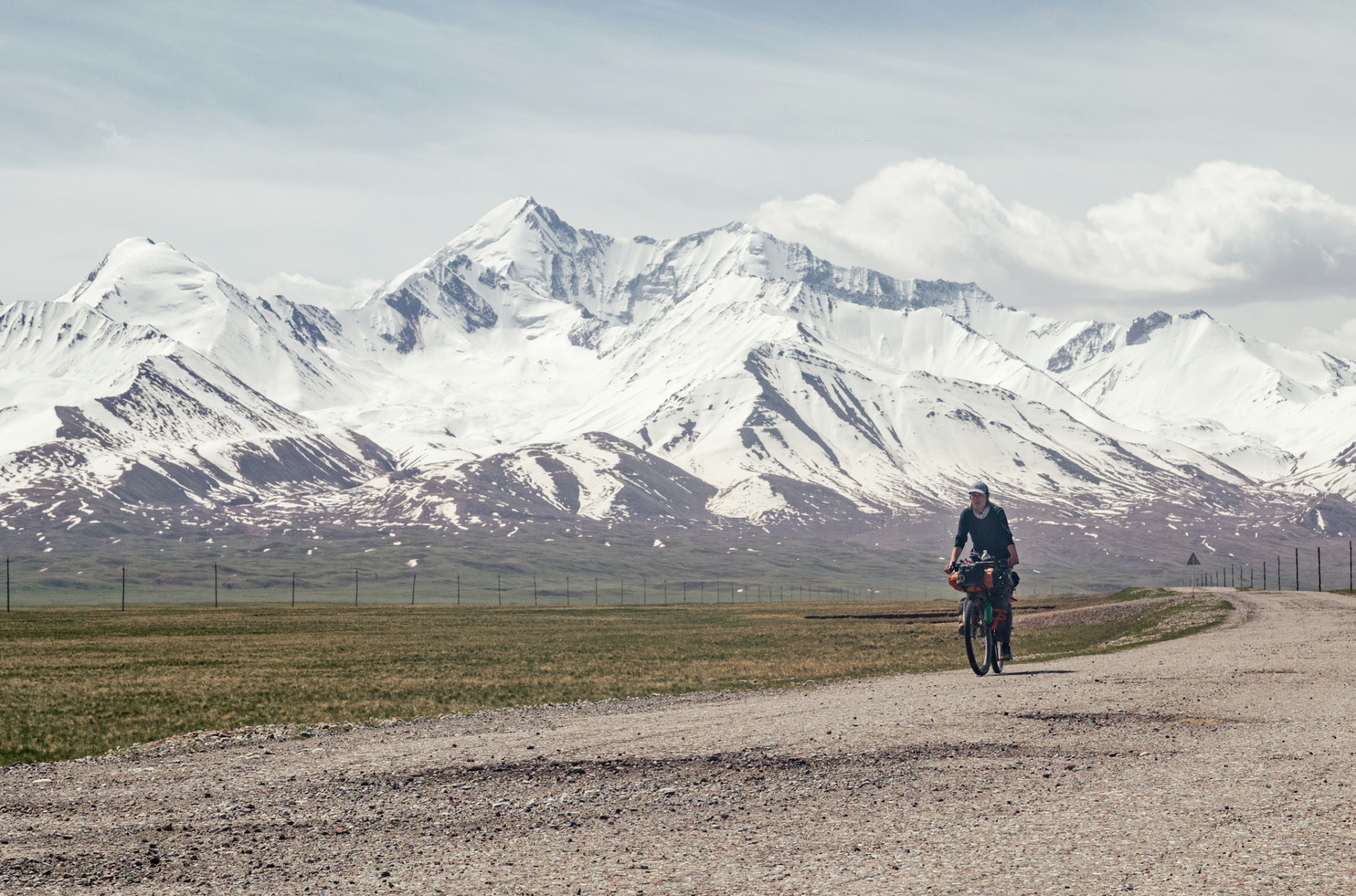
Leaving Khorogh, the last “major” city and the Wakhan Valley behind, the climb onto the Pamir Plateau was ahead of me. It’s a rather comfortable and gradual climb from 2000m to 4300m, but it’s recommended to take things slowly in order to acclimatise and avoid altitude sickness. For this reason I took a day off at 3500m, where one can find an old Soviet sanatorium, basically a hotel with an on-site hot spring, in which you can relax in for as long as you want. The next day I made it across the pass and was officially on the plateau, on the “real” Pamir Highway, where I was amazed by the arid, open landscape and barren mountains, which despite standing 5000m tall, looked like hills.
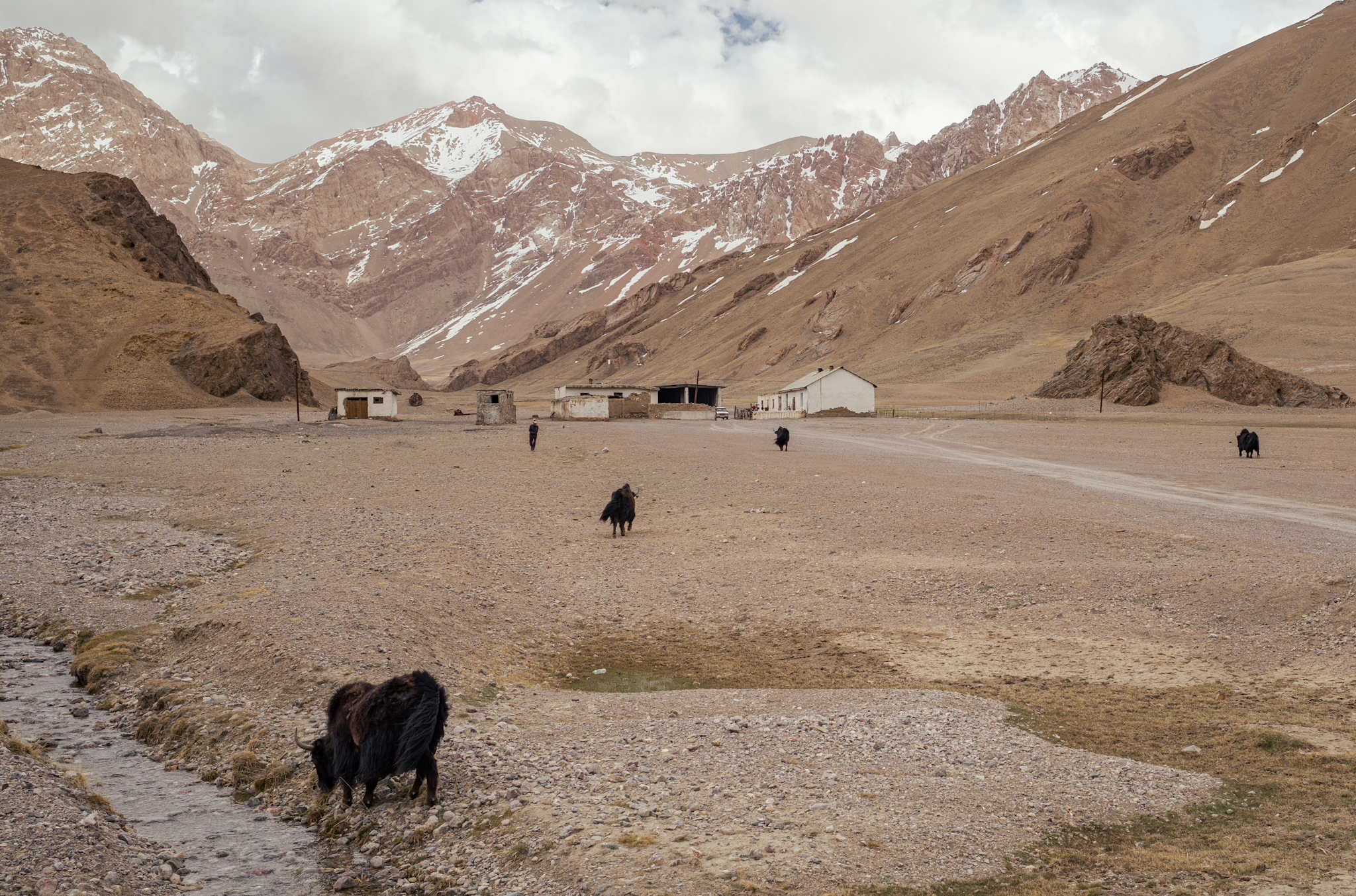
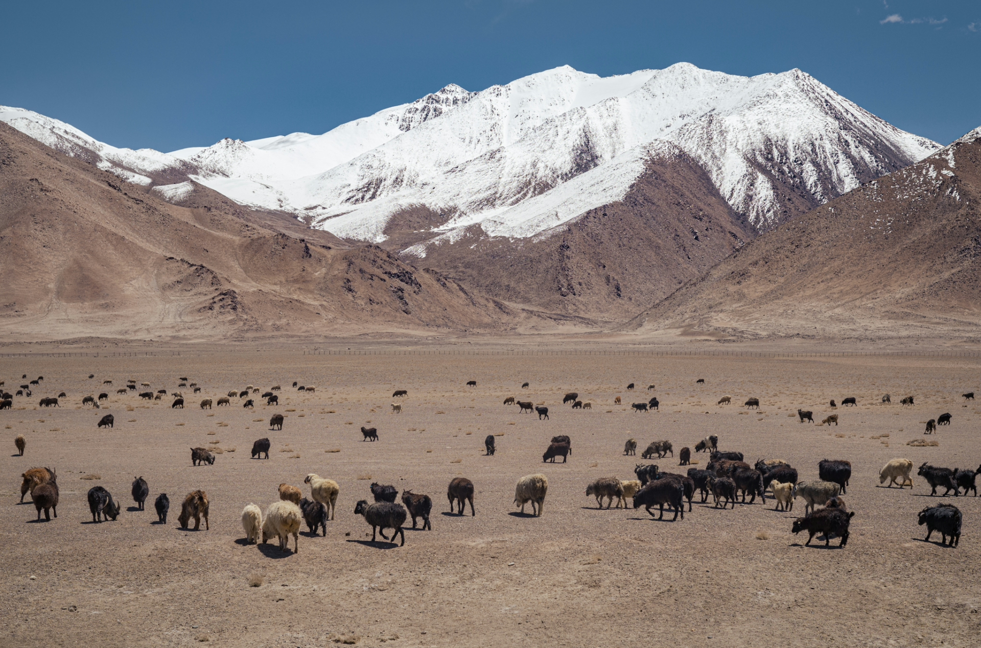
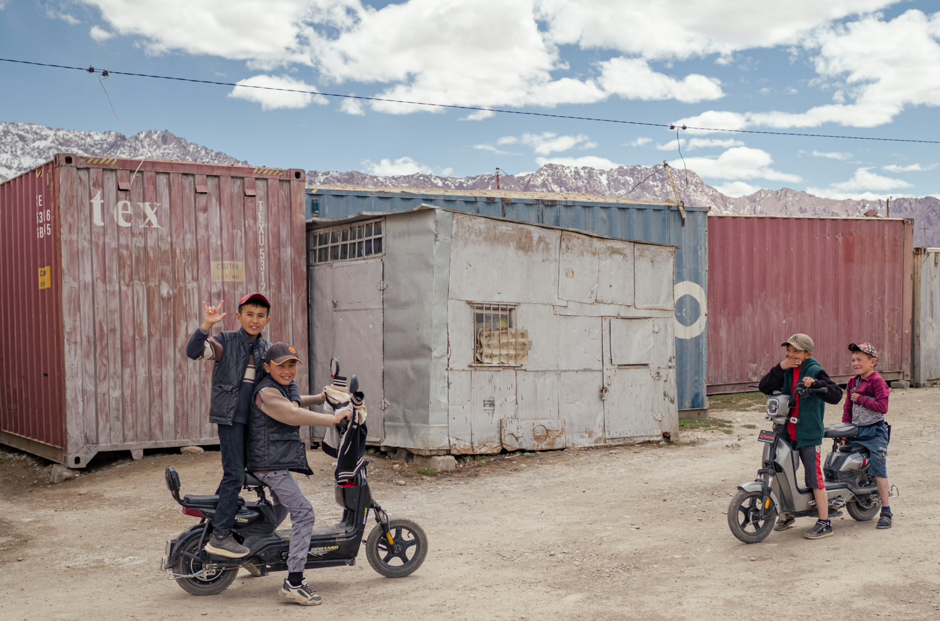
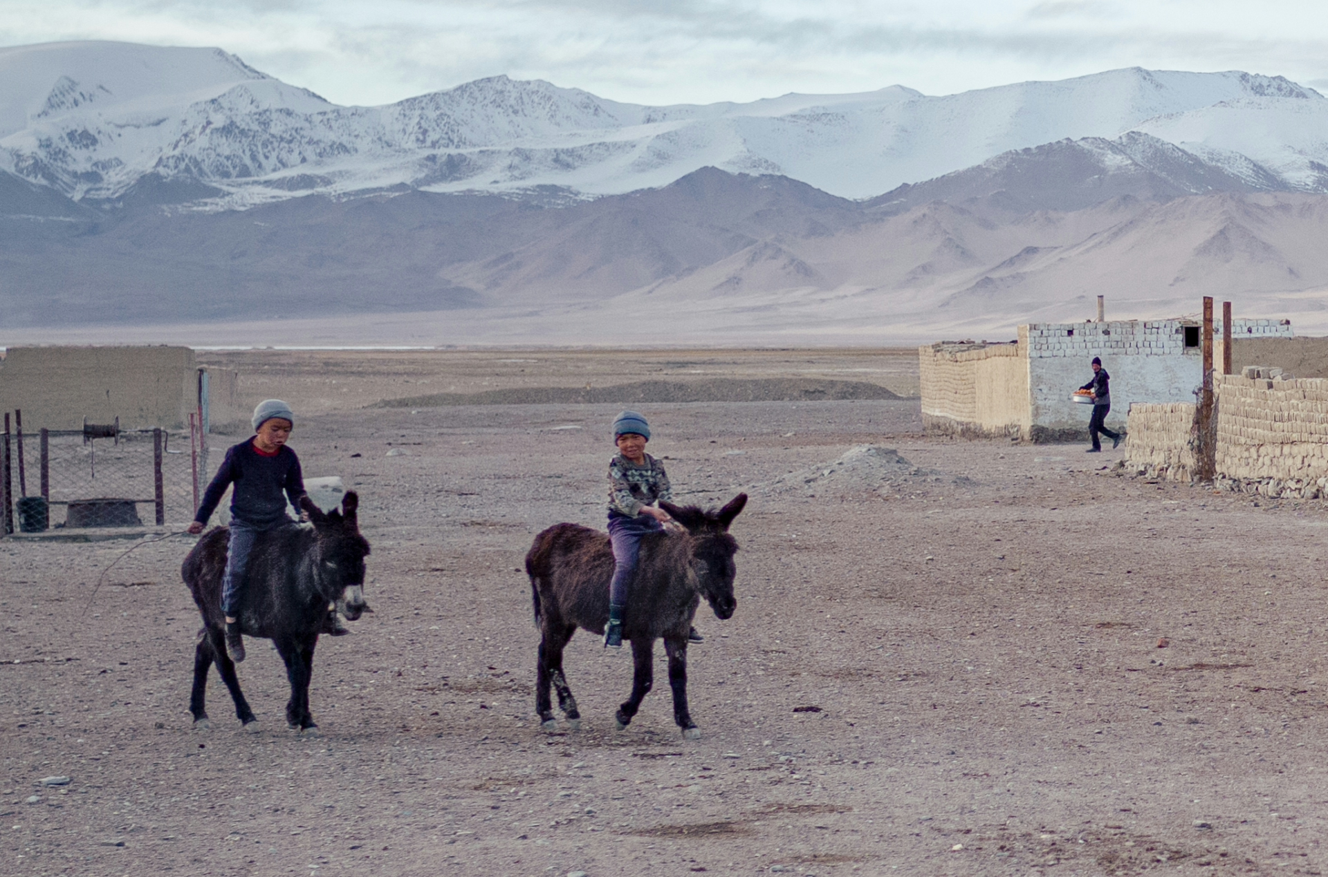
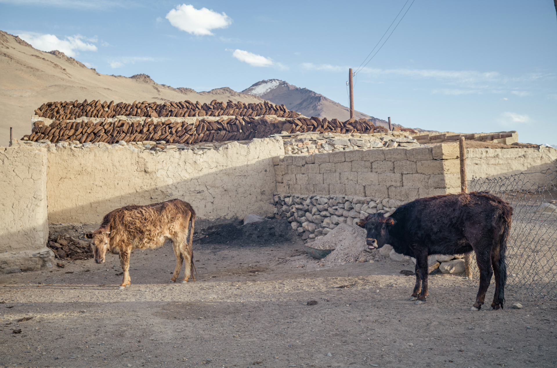
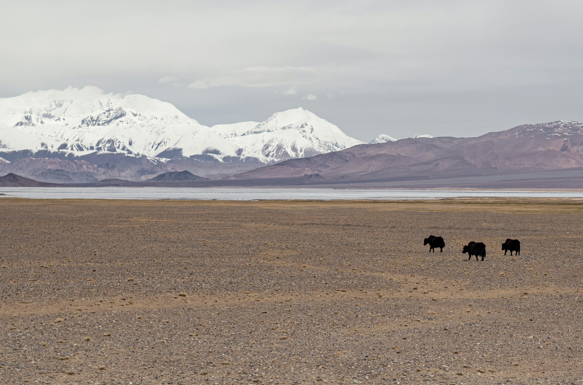
The following days I made my way to Murghab, a town in Eastern Tajikistan and gateway to China, where I noticed the demographics changing once again: Instead of Tajiks & Pamiris like in the Wakhan, the Pamir Plateau is mainly inhabited by Kyrgyz. While few of them live a completely nomadic lifestyle, many of them still make a living from their livestock, mainly sheep and goats, as well as the majestic yaks with whom I had my first encounter. In Murghab I took another day off as I met a German hitchhiker, and we celebrated his birthday with a local family which invited us to stay with them. Despite the harsh life at this altitude, especially in winter when temperatures can drop below -30C, people remain very hospitable and friendly.
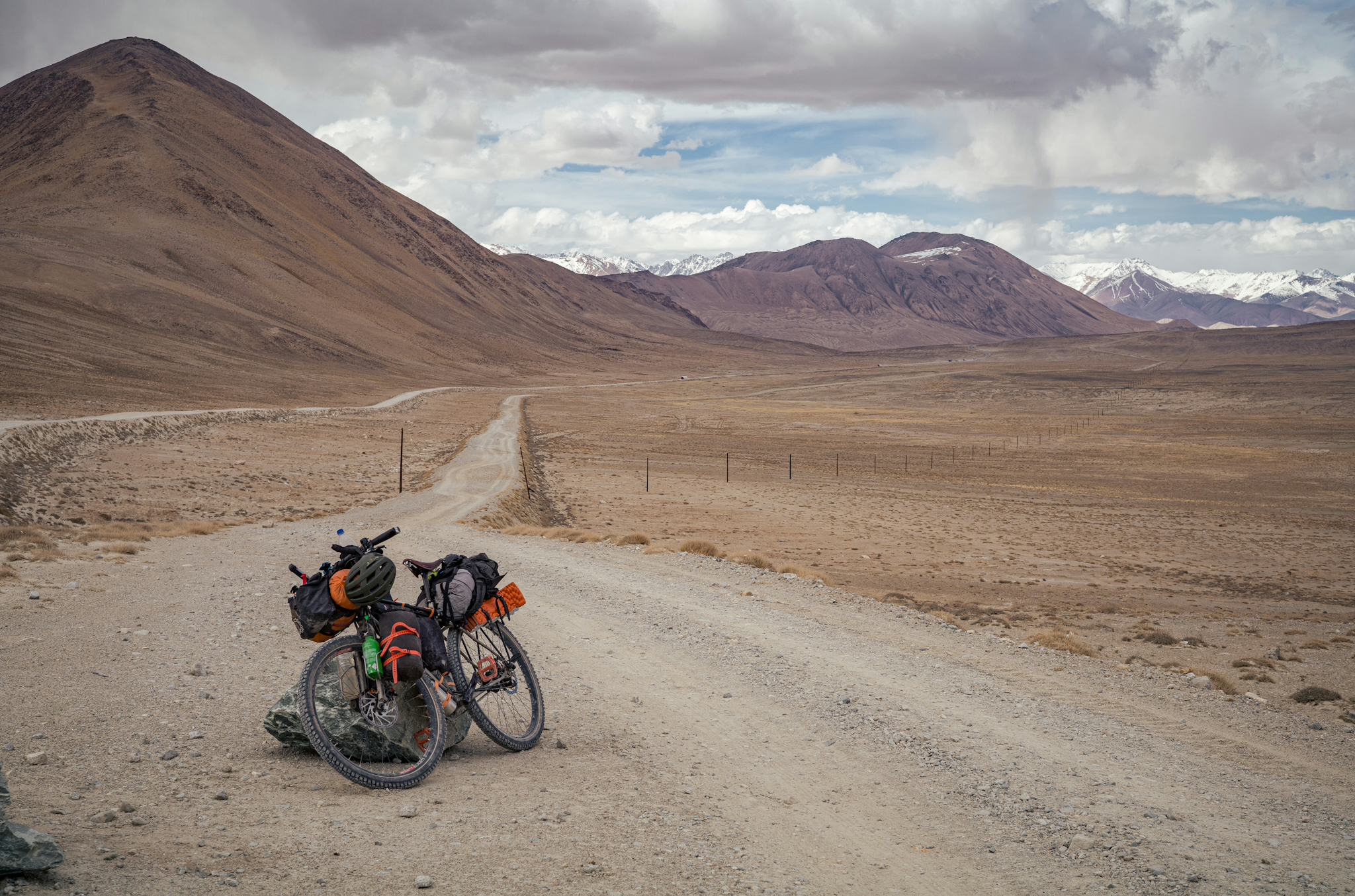
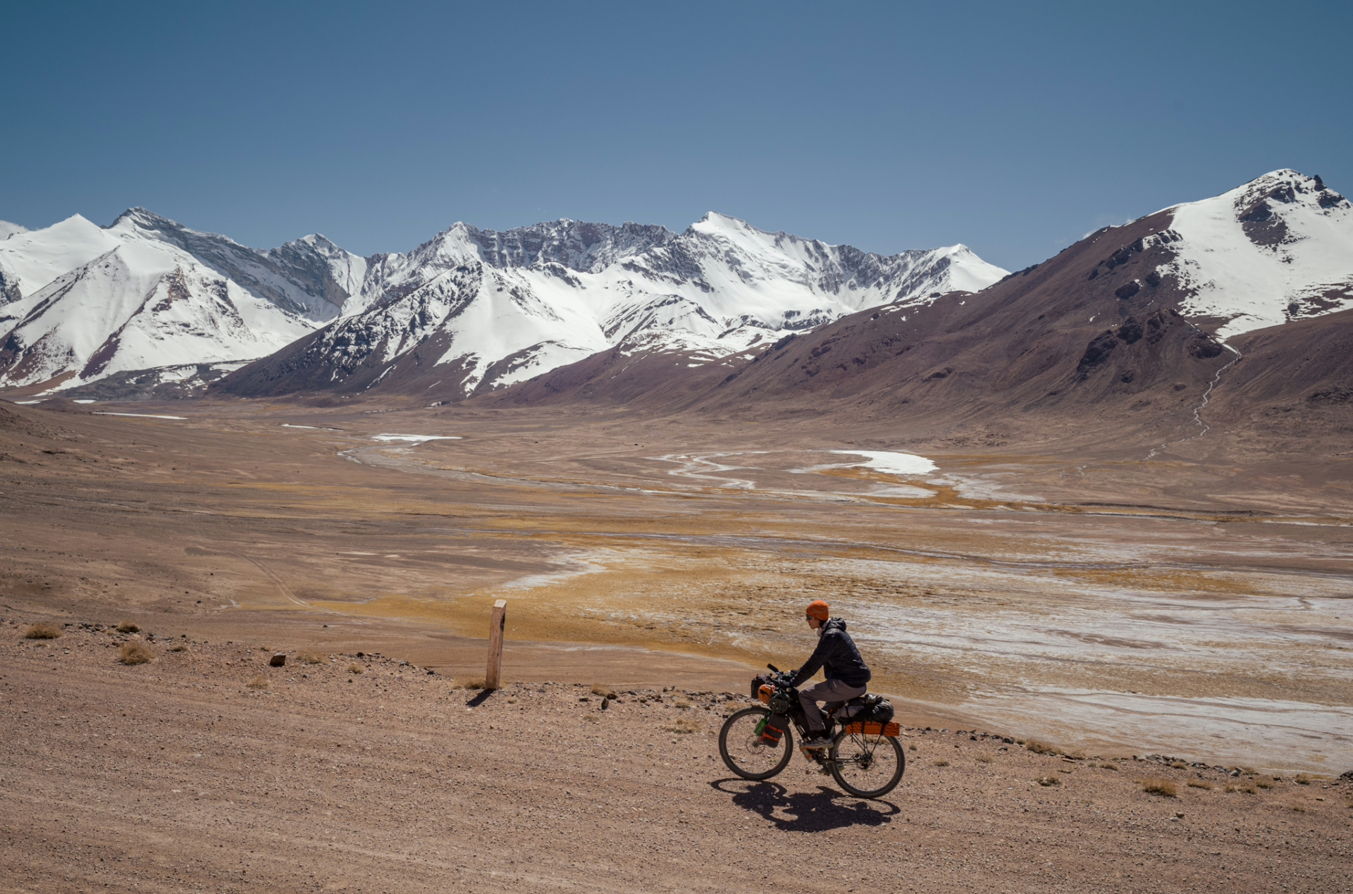
Slowly making my way towards Kyrgyzstan, I had to overcome one major obstacle: the Ak-Baital Pass, with 4690m the highest point of the Pamir Highway.
Since I was pretty well acclimatised to the altitude by now, it didn’t turn out to be that big of a challenge and I enjoyed the ride up the gravel road. Fortunately I was blessed with good weather, as many other travellers I had met told me their tales of facing nasty snowstorms.
Views at the top weren’t as spectacular as on other parts of the highway, but it was a great achievement nonetheless: I had reached the highest point I’ve ever been (at the time of writing) just with the power of my legs.
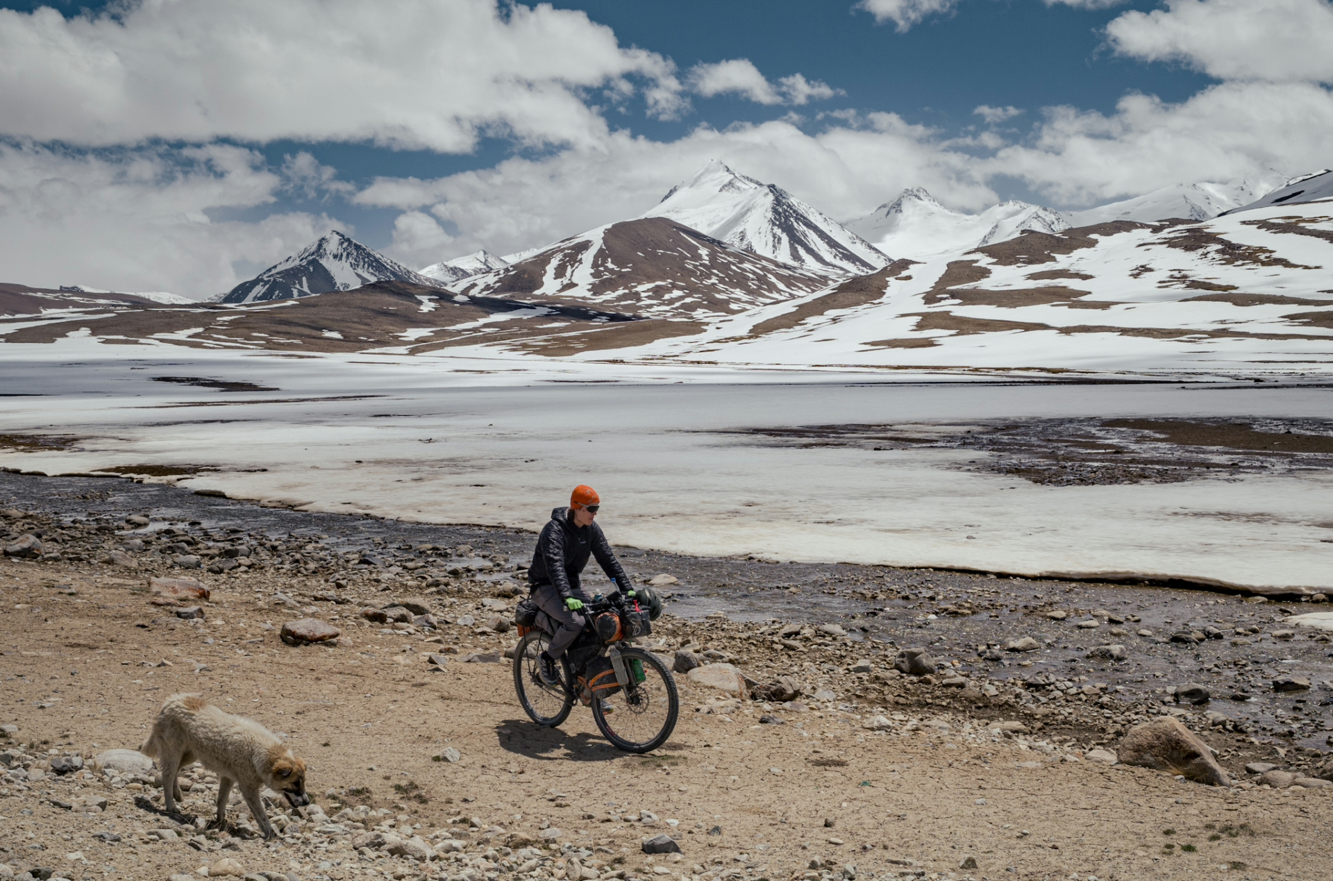
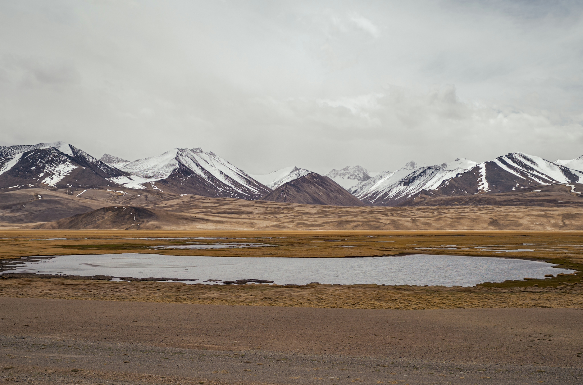
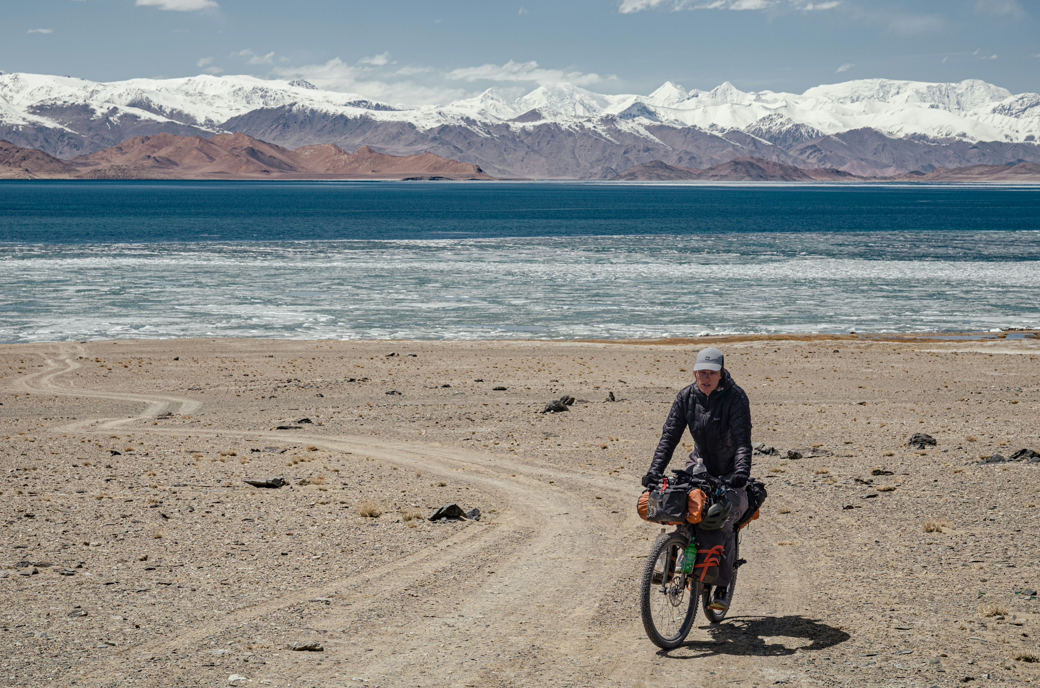
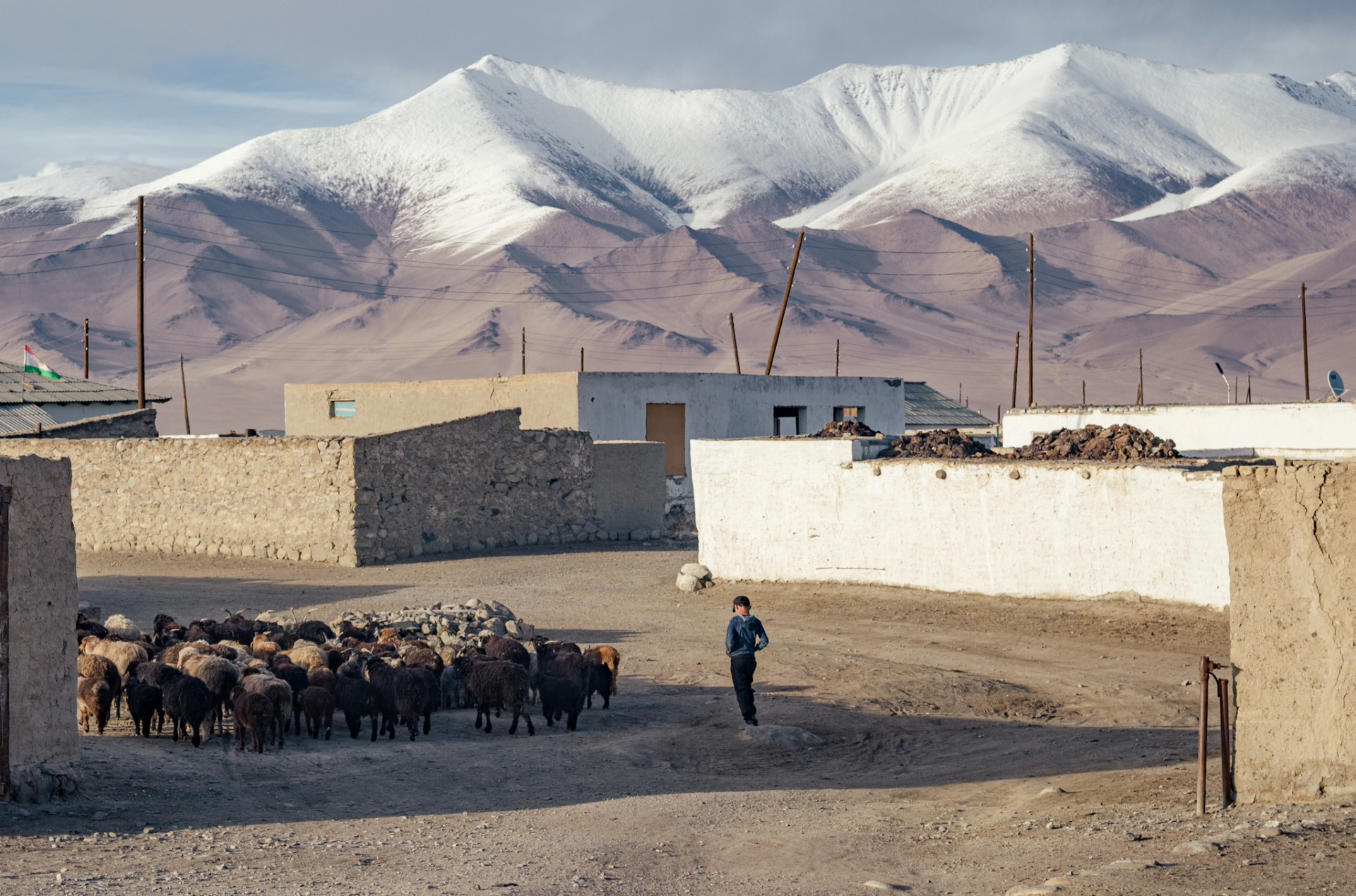
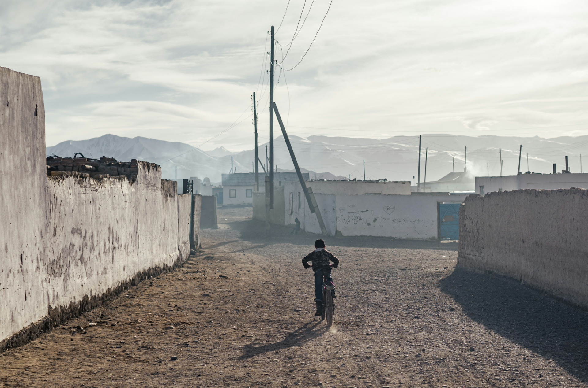
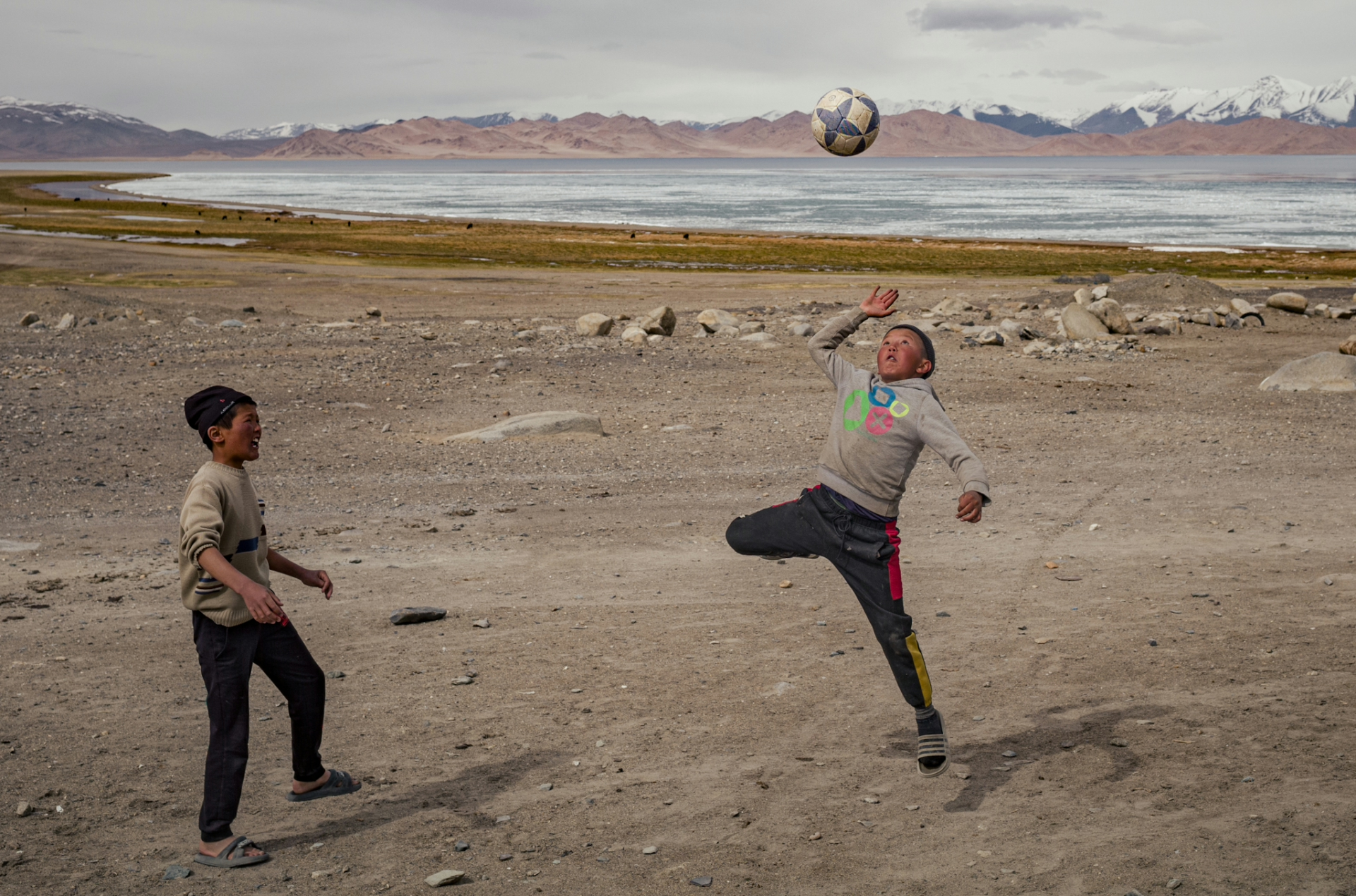
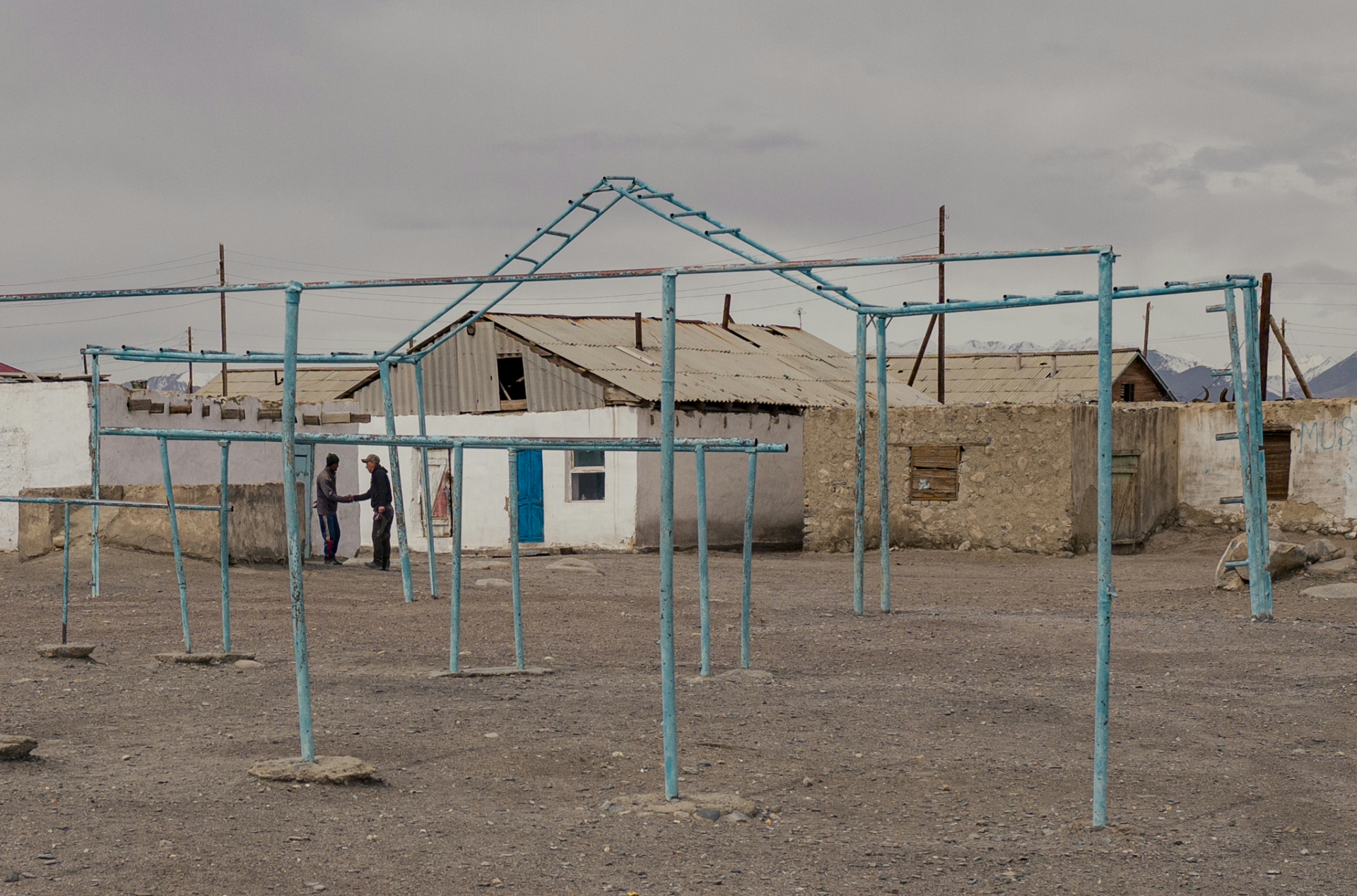
On the final stretch of the Pamir Highway I reached Lake Karakul, which translates to “Black Lake”, but in reality it was one of the bluest lakes I’ve ever set my eyes on. It was still partly frozen, which is little surprising since at 4000m temperatures frequently drop below freezing, even during summer. The lake is surrounded by mountains with peaks above 6000m, and at the shore you will find a village, also named Karakul, one of the most remote settlements in Tajikistan and Central Asia. It would be my final stop in the country before I cross back into Kyrgyzstan.
I spent my last in Tajikistan in this village, which is entirely inhabited by ethnic Kyrgyz people, who earn their living from herding livestock and/or operating guest houses for tourists. But there is one more major challenge that they are facing: The border between Kyrgyzstan and Tajikistan has been closed for locals following some border clashes in recent years. In the past, the Karakul inhabitants frequently traveled to Kyrgyzstan to buy goods and visit relatives, but with the border closure they now have to get their goods from far distant Tajik or Chinese cities, which significantly increases costs. Despite this, the locals are very welcoming to tourists and do their best to accommodate you on your visit.
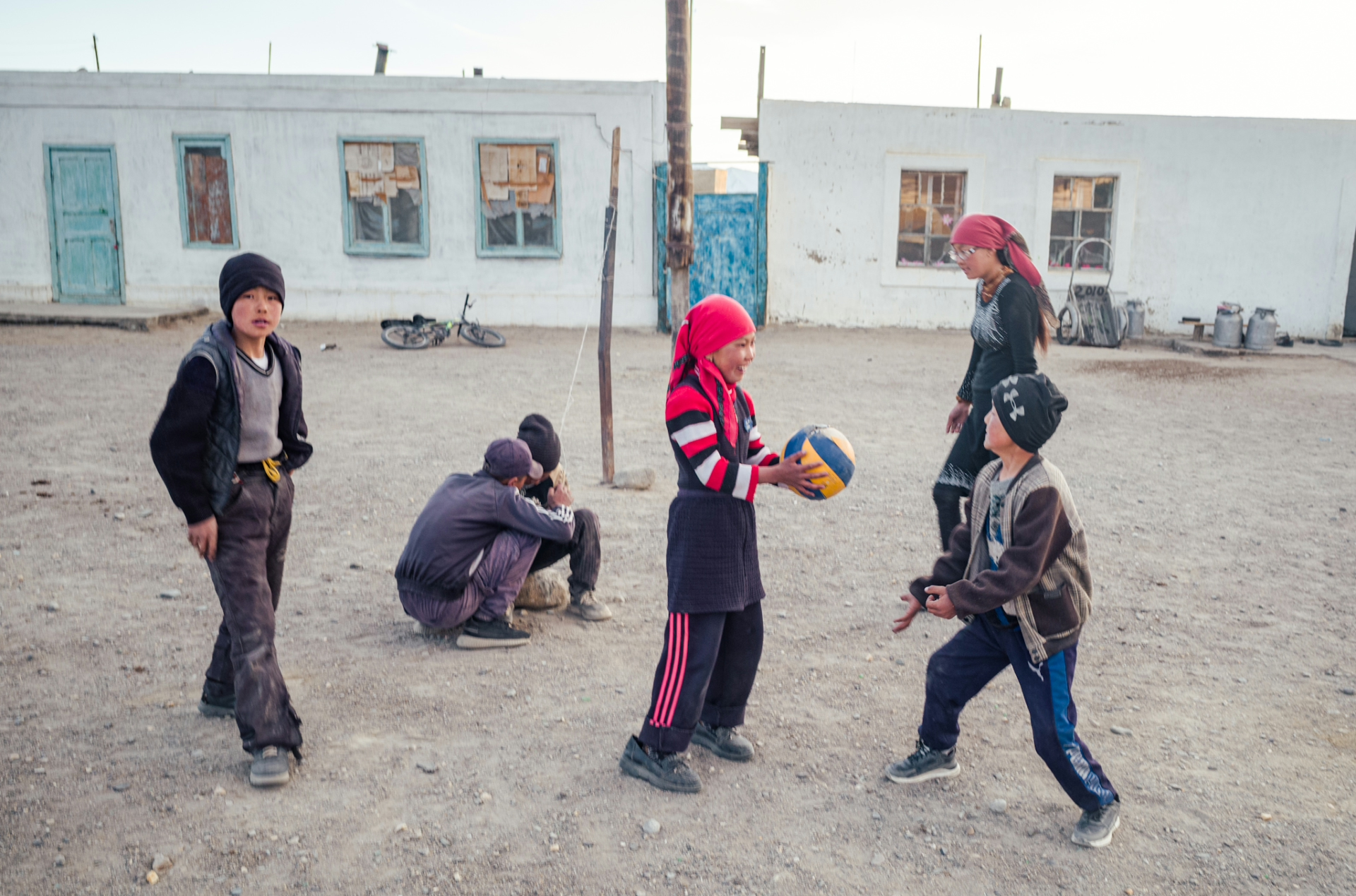
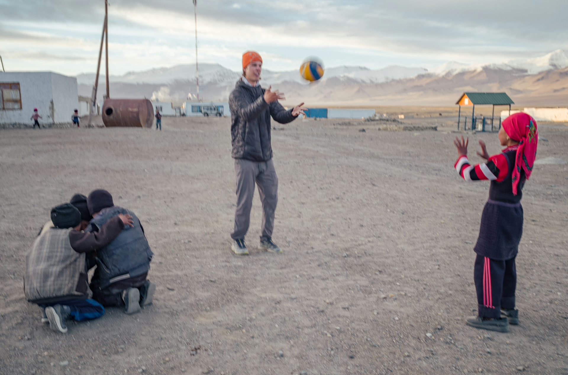
I spent a day here observing their unique way of life and enjoyed playing volleyball with the kids, which seems to be more popular than football among the Kyrgyz.
The following day I crossed the Kyzyl-Art Pass and back into Kyrgyzstan, on the top of which I encountered a snowstorm, making the already sketchy unpaved descent even more difficult. At the time of writing it is only possible to cross this border with a special permit that can be arranged by local travel agencies, costing around $20.
Back in Kyrgyzstan, I was amazed by the stark contrast in the landscape: While Tajikistan is very arid and barren, Kyrgyzstan is full of greenery, resulting in much more livestock (especially horses) around. In Sary-Tash, the first town in Kyrgyzstan, I took a few days off and enjoyed the local cuisine with fresh ingredients, something I had missed on the Pamir Highway in Tajikistan. After a couple days of rest I headed off, destination: China.
