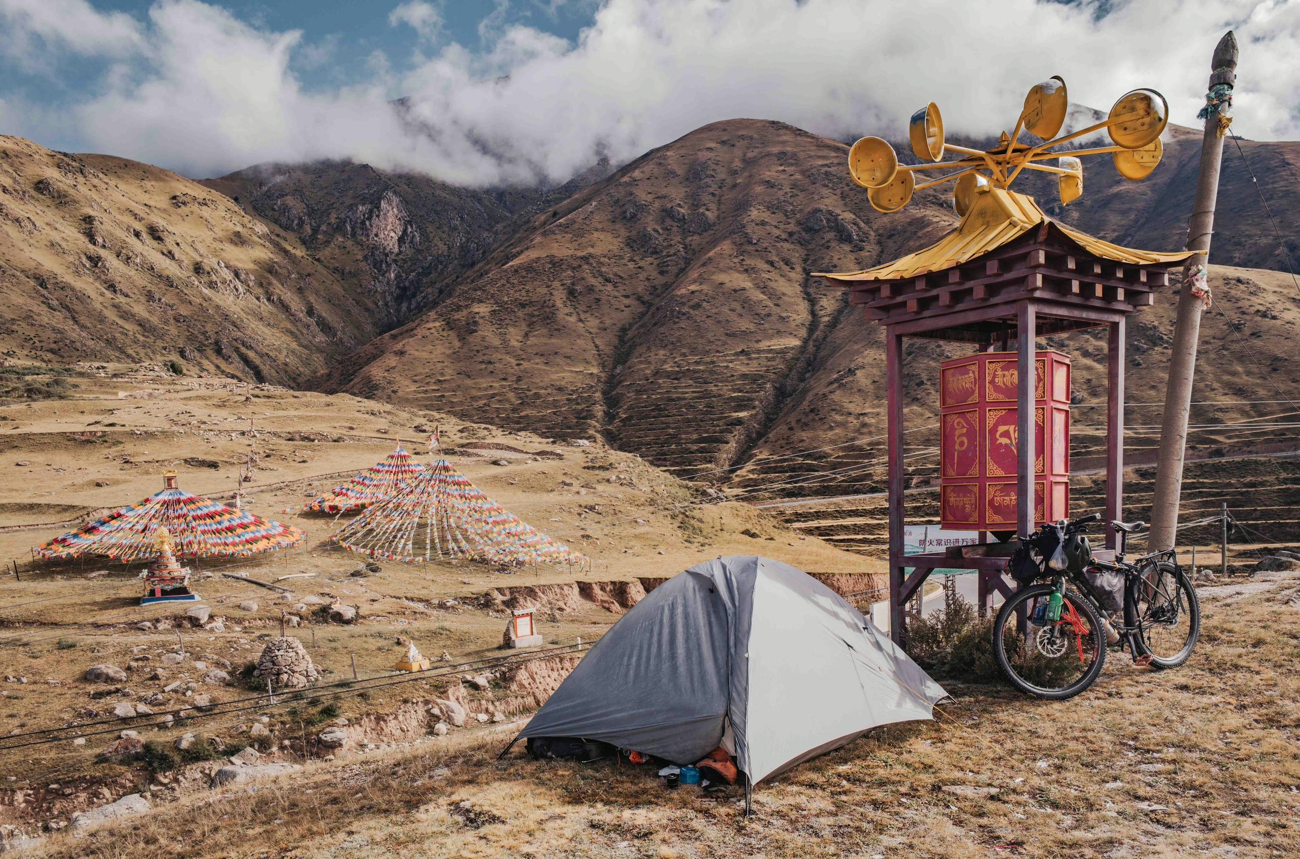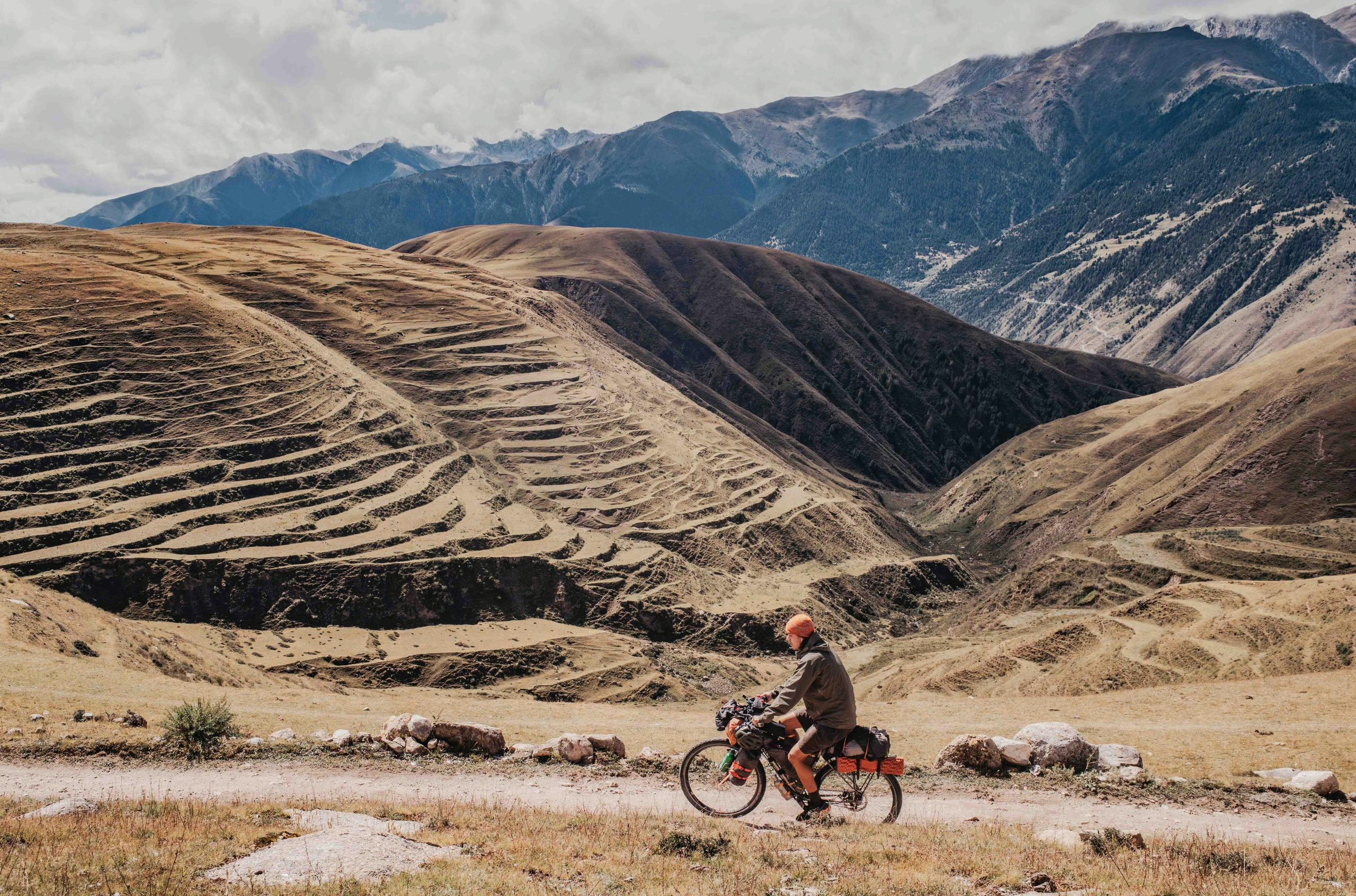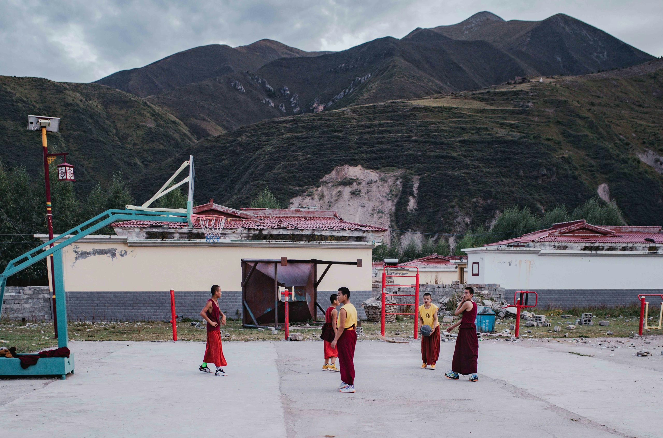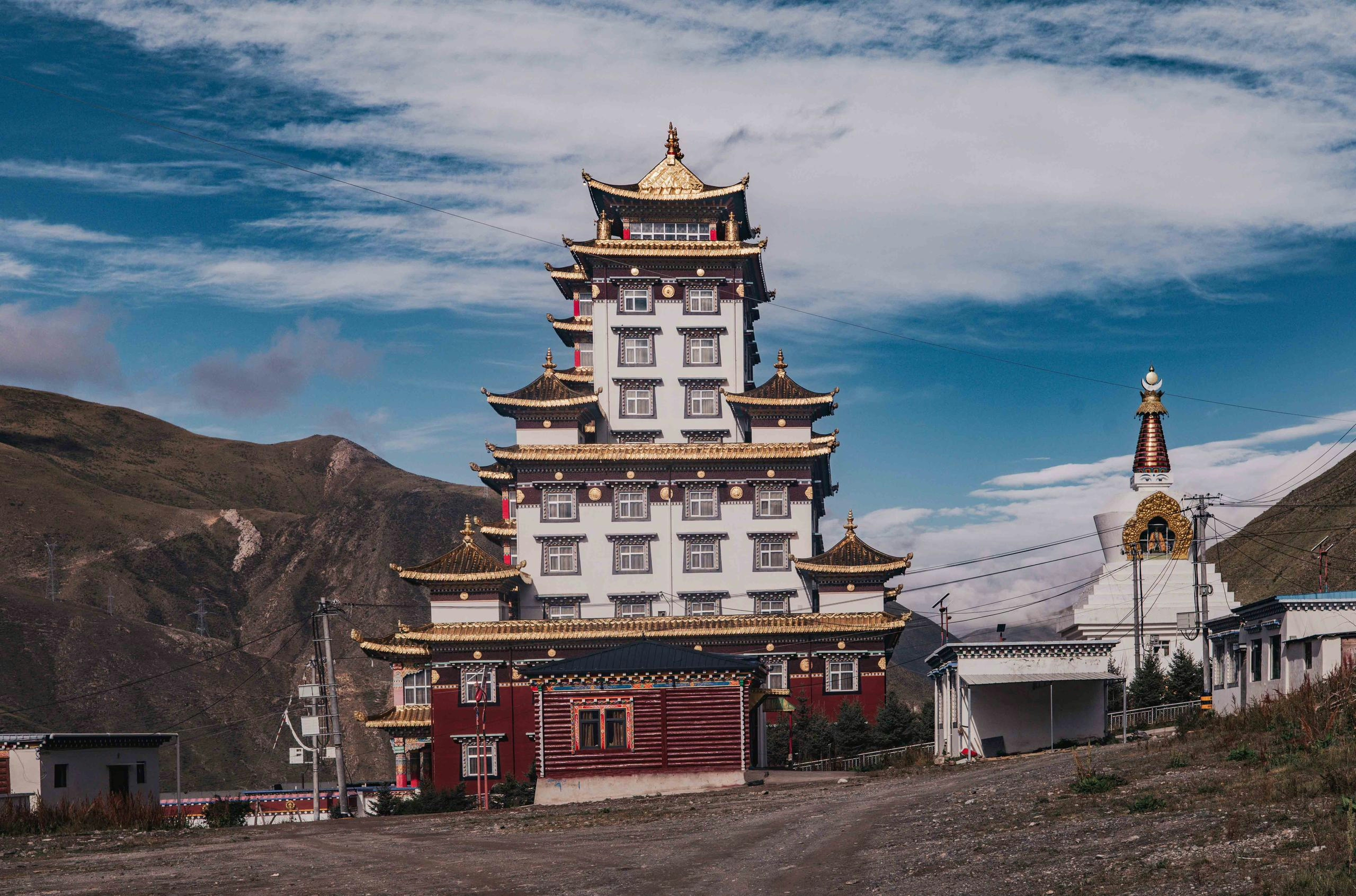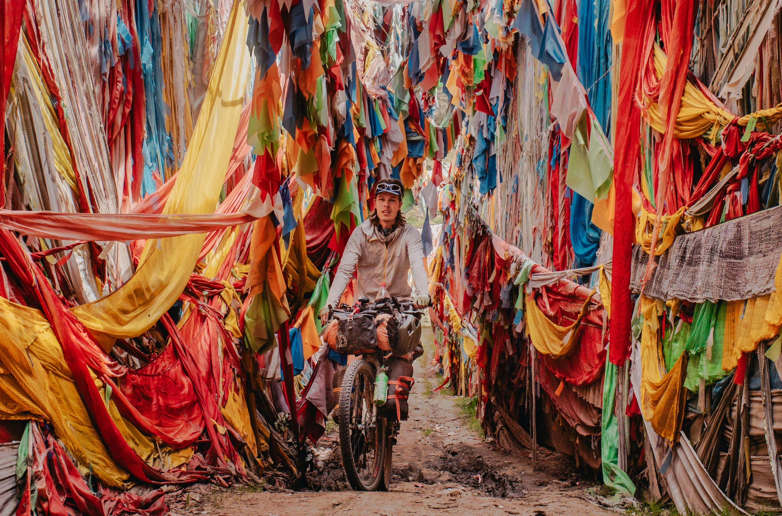
After spending 6 weeks bikepacking in Mongolia, crossing the country West to East, I reached Ulaanbaatar, where I applied for and received a Chinese tourist visa for two months. I decided to enter China via rail, as the Erenhot border doesn’t permit pedestrians or cyclists to cross the border independently. The train from Mongolia’s capital to Hohhot, Inner Mongolia’s capital (more Mongolians live in the Northern Chinese provinces than in Mongolia), took a little less than 24 hours and fortunately I was allowed to bring my bike on board. As this part of China is rather unspectacular landscape wise, characterised by the Gobi desert, I continued via train towards the major city of Chengdu, located in the province of Sichuan, and gateway to the Tibetan Plateau. The plateau was where I was planning to spend the rest of the summer, cycling roughly 2000km towards Golmud, a major city and transportation hub in Central China, and exploring the unique Tibetan culture and open landscapes on the way. At this point it should be mentioned that I wasn’t planning on visiting the T.A.R., or Tibetan Autonomous Region, with Lhasa as its capital, as foreigners aren’t allowed to visit this region without being accompanied by an expensive Chinese tour guide. Fortunately, the Tibetan plateau (and culture) extends far further into other provinces, namely Yunnan, Xinjiang, Qinghai and Sichuan. I would be visiting the last two, parts of which were historically also part of Tibet, the Tibetan regions of Amdo and Kham to be exact. Despite this, foreigners are free to visit these regions independently.
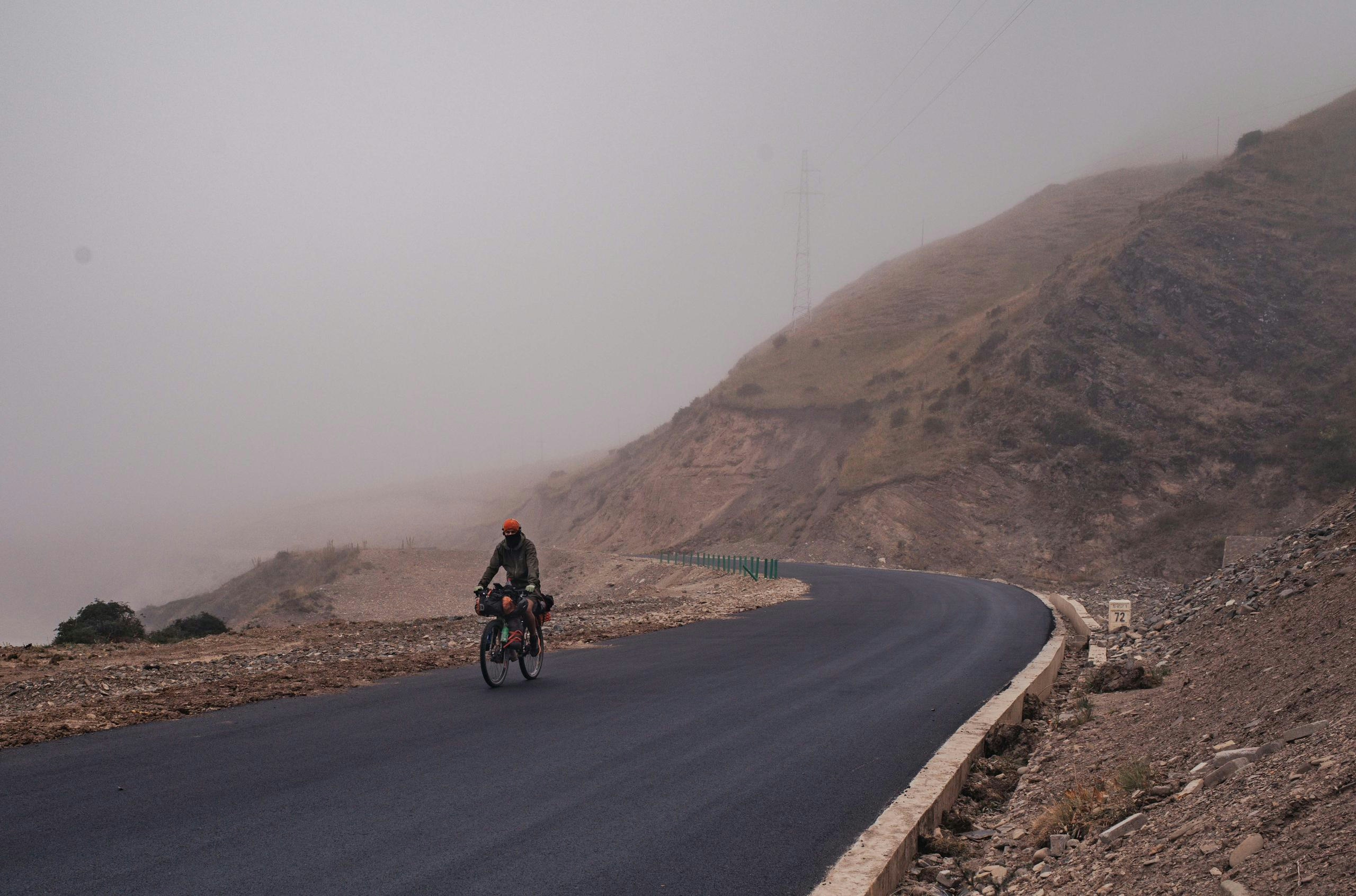
It measured 38 degrees Celsius when I arrived in Chengdu, and I couldn’t wait to head towards the mountains where it would be much cooler. This meant climbing many thousands vertical meters over the next few days, which honestly wasn’t too enjoyable, not just because of the heat and constant rain showers, but also an abundance of trucks on the shoulder-lacking roads and the countless dangerous tunnels, often many kilometres long.
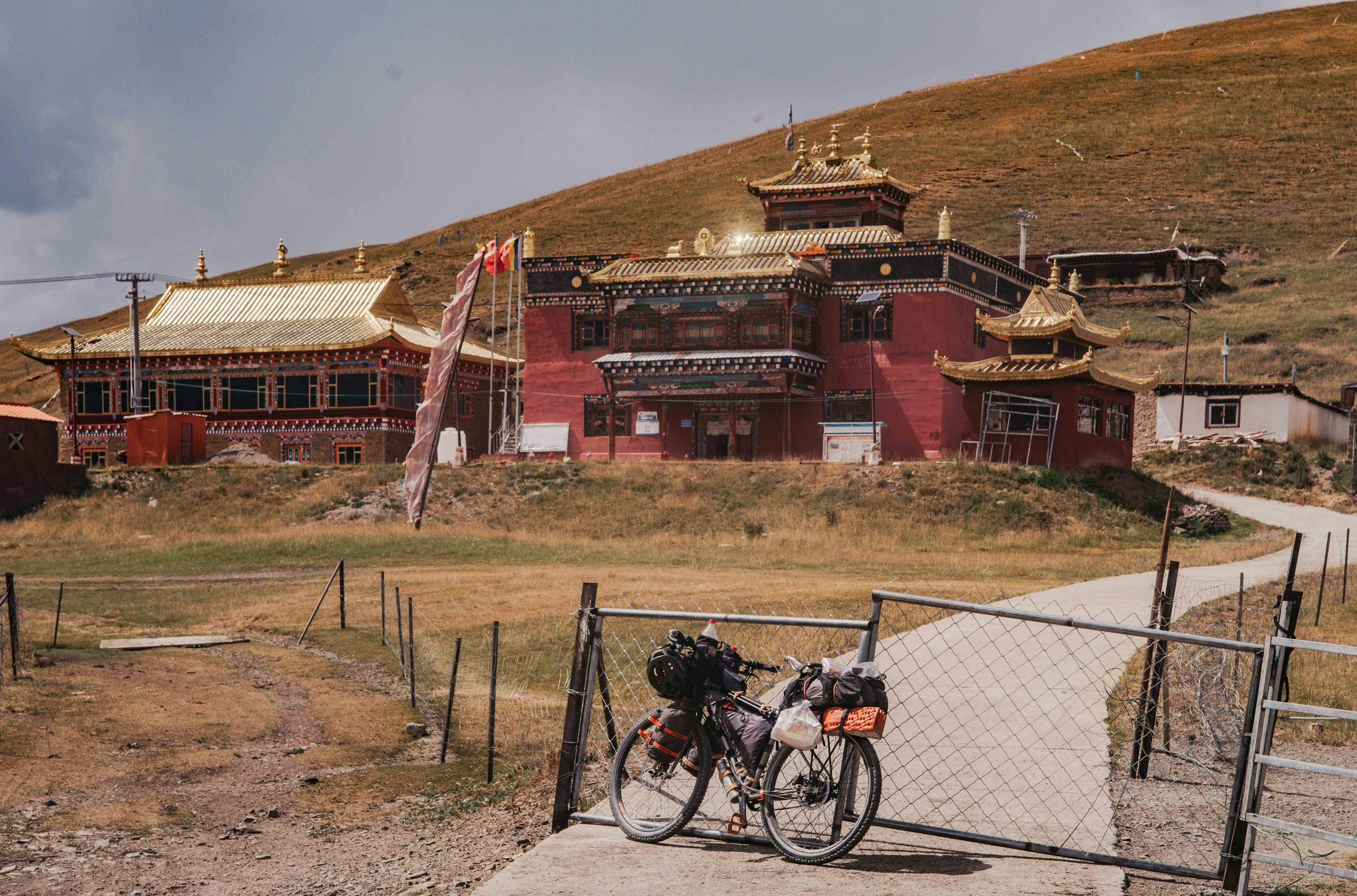
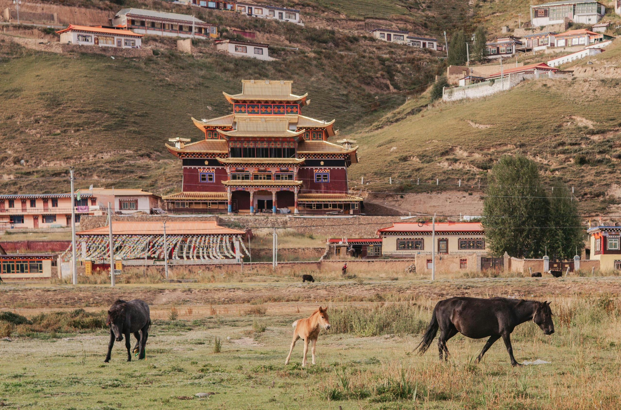
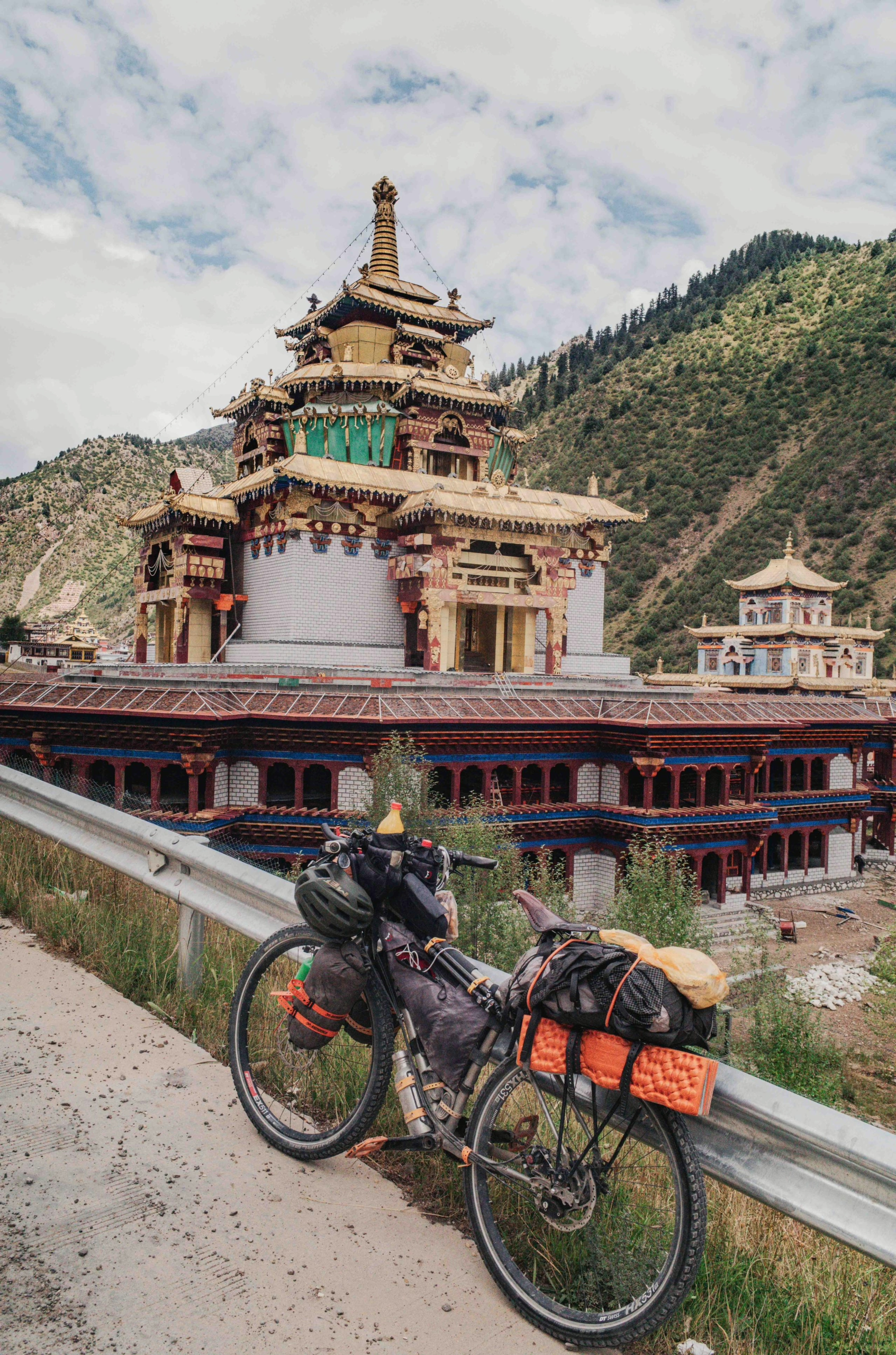
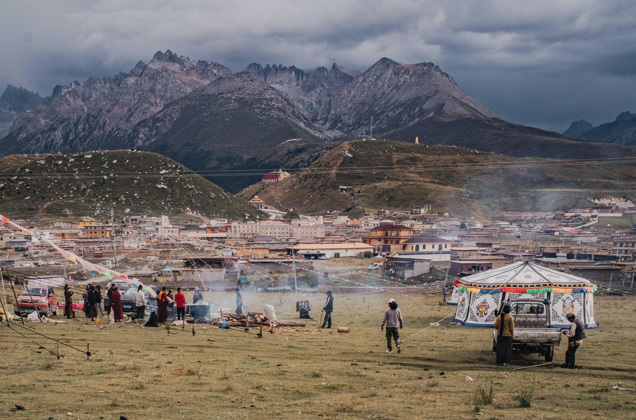
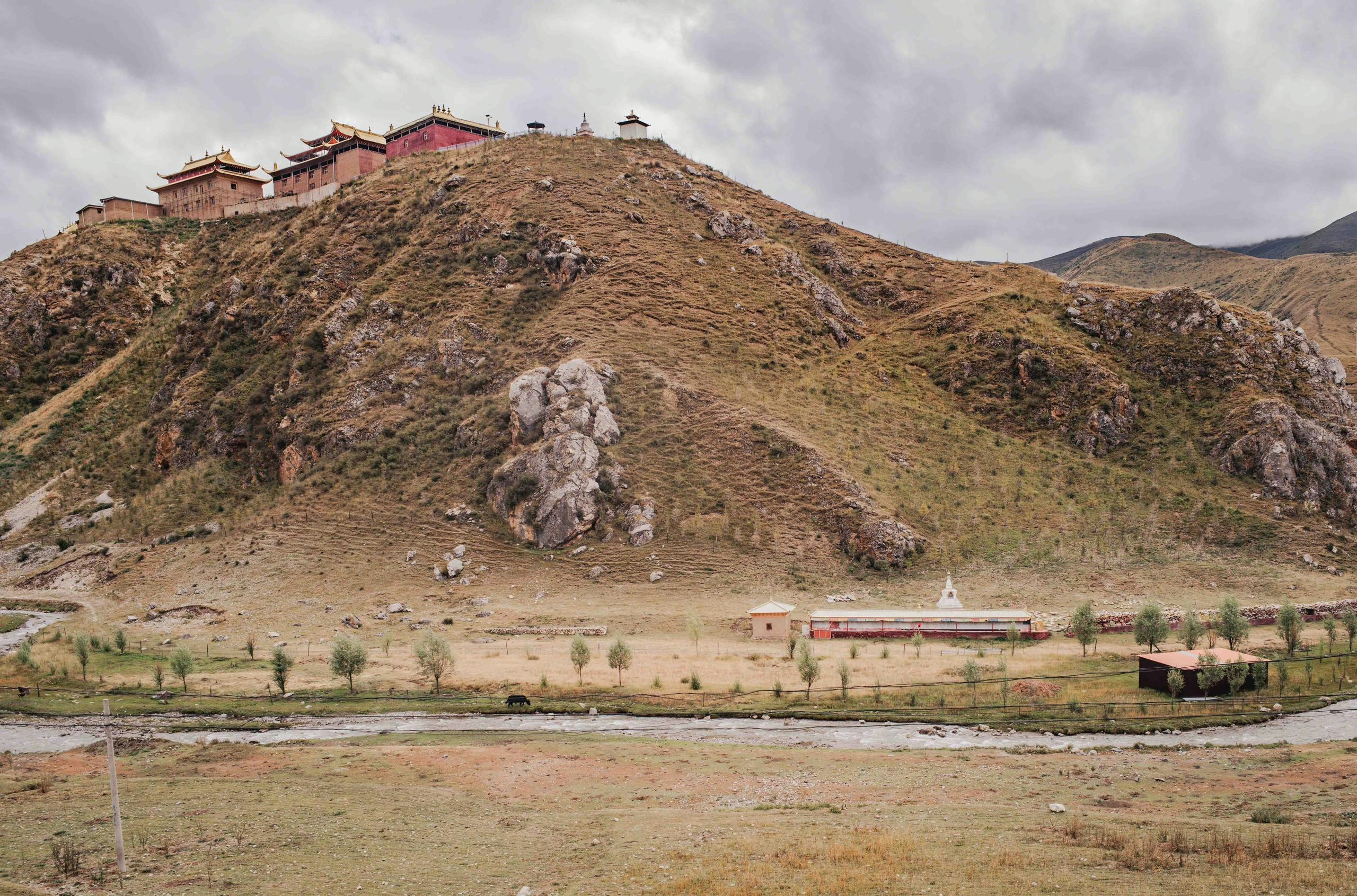
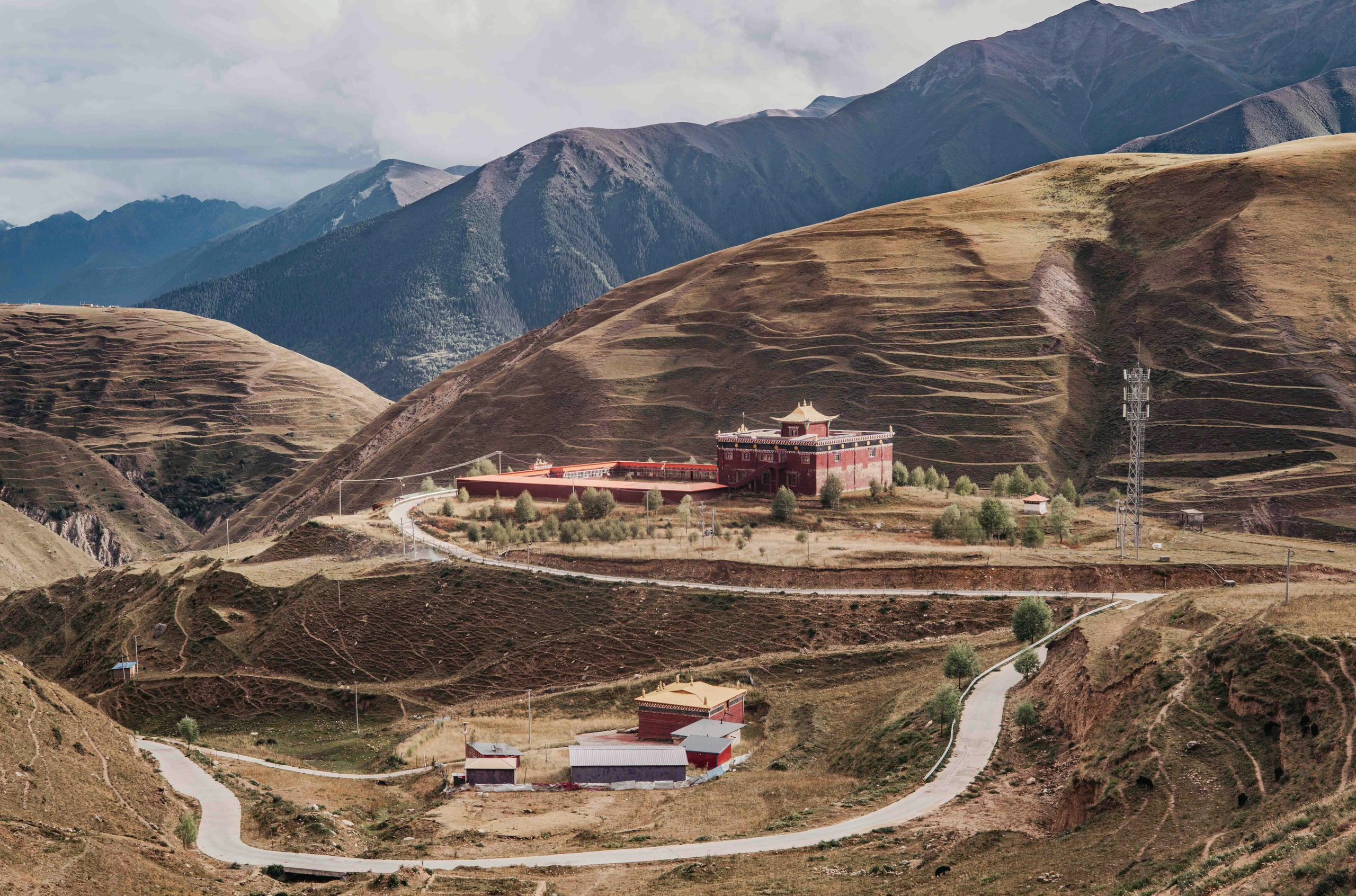
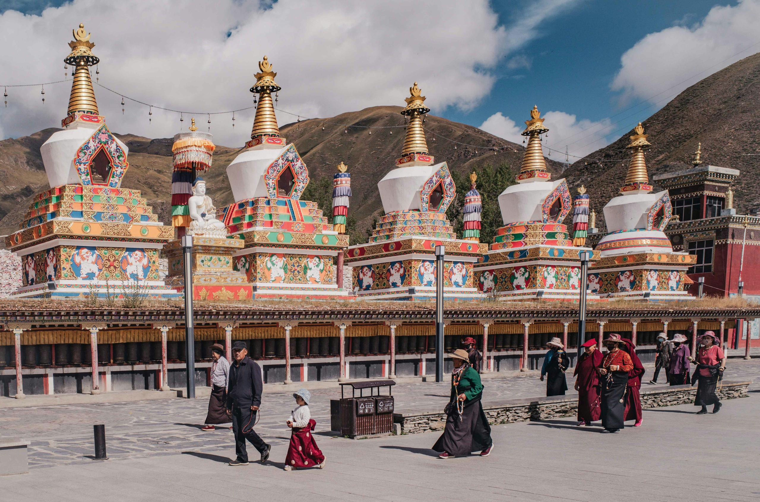
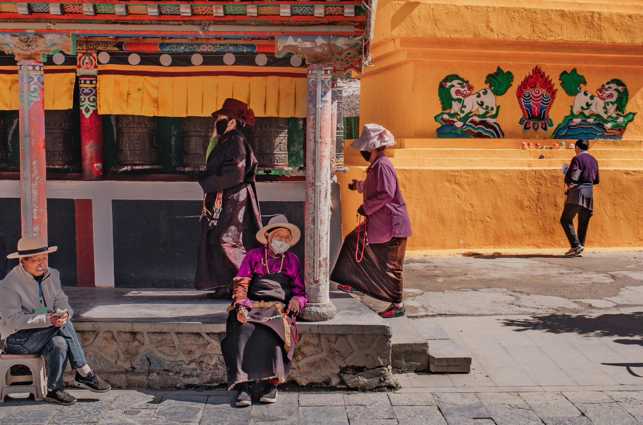
But with every metre I felt the landscape and culture changing, I started to come across small villages mostly inhabited by Tibetans, and could spot hilltop Buddhist temples and monasteries every other mile.
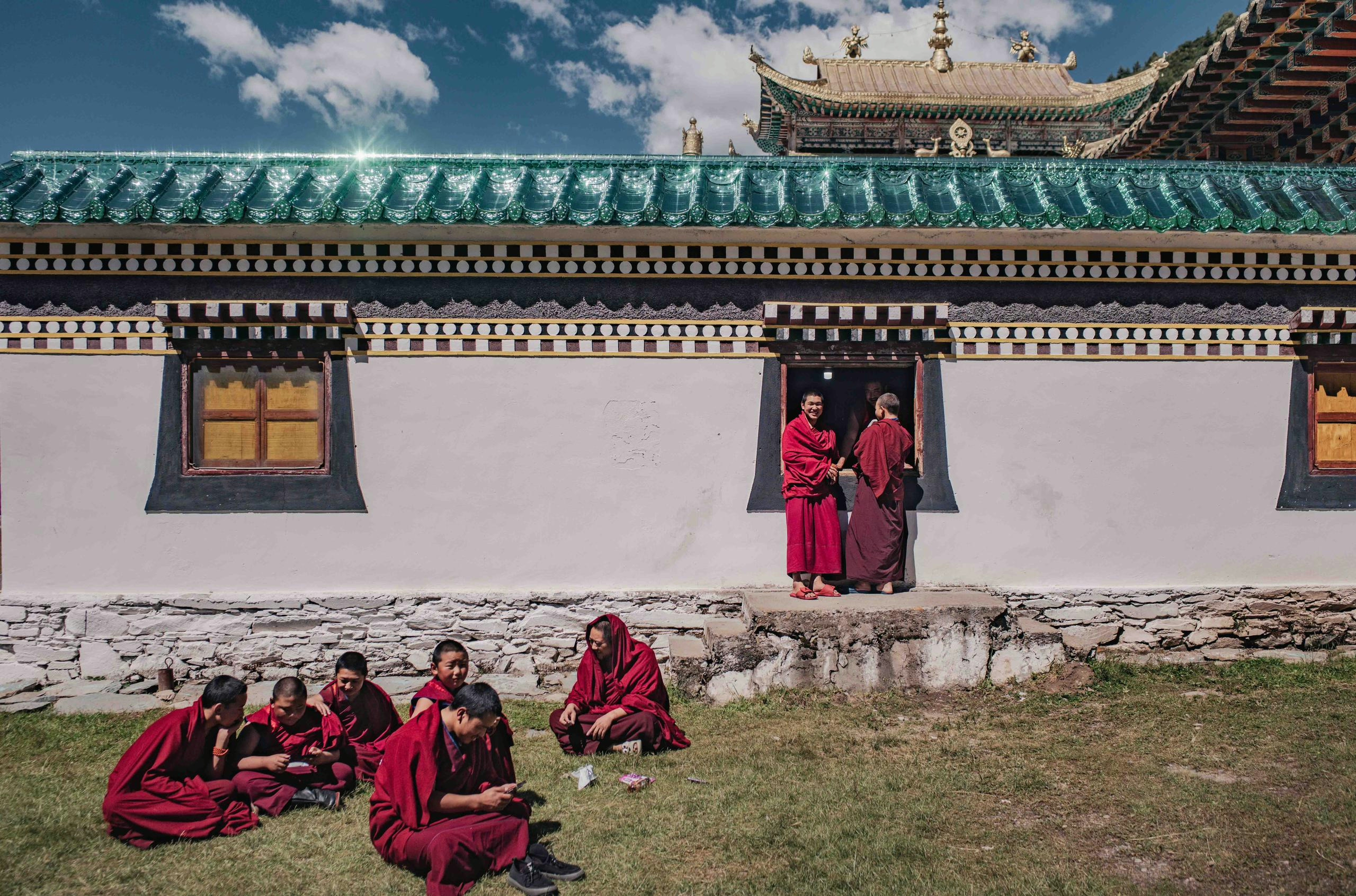
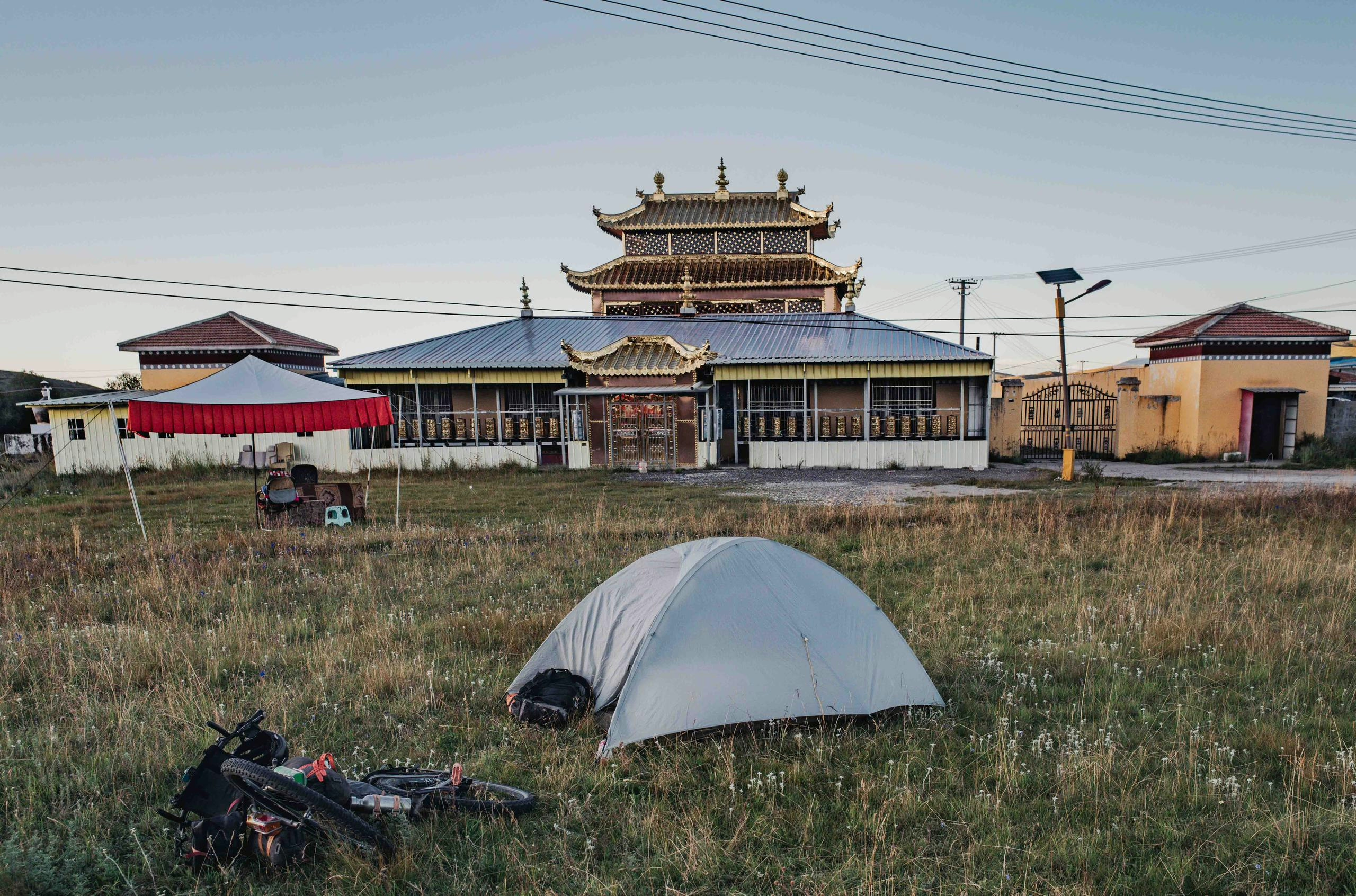
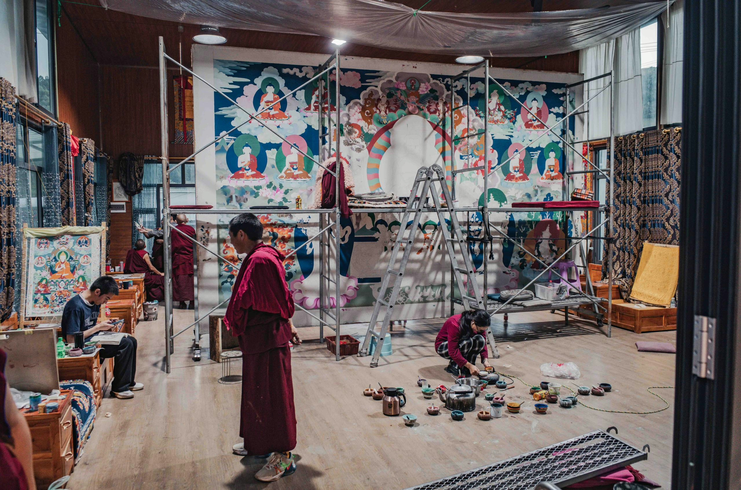
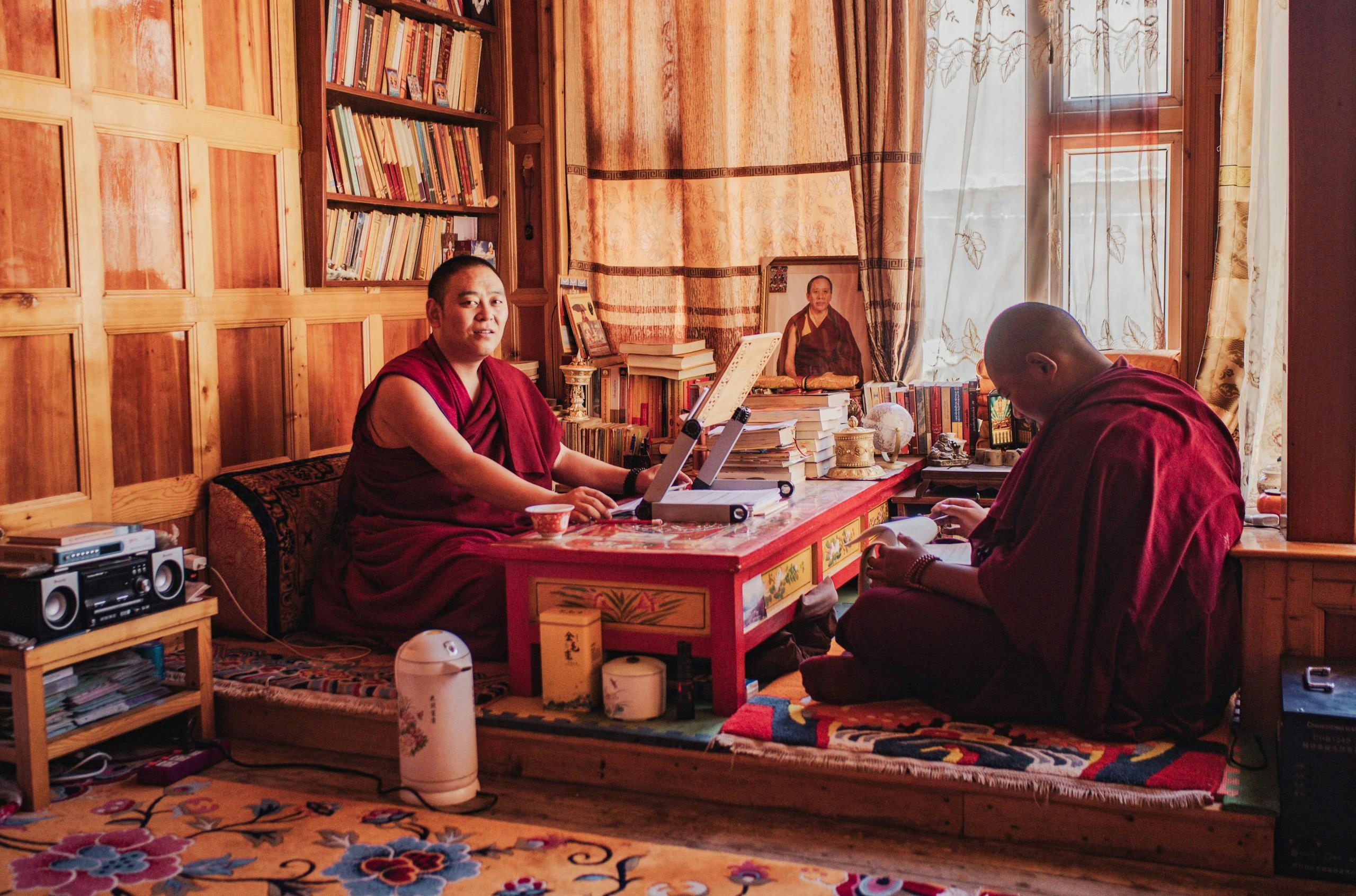
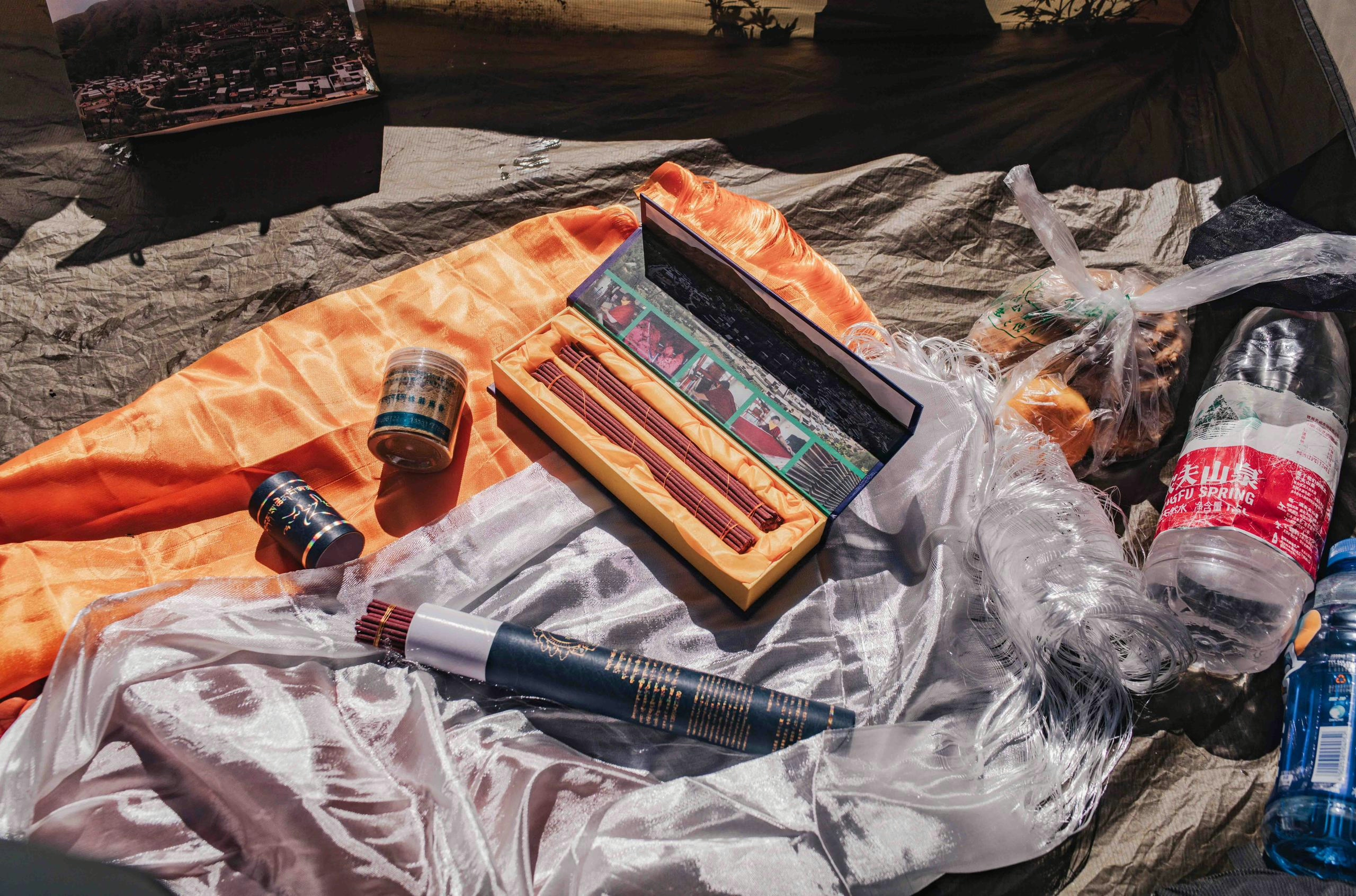
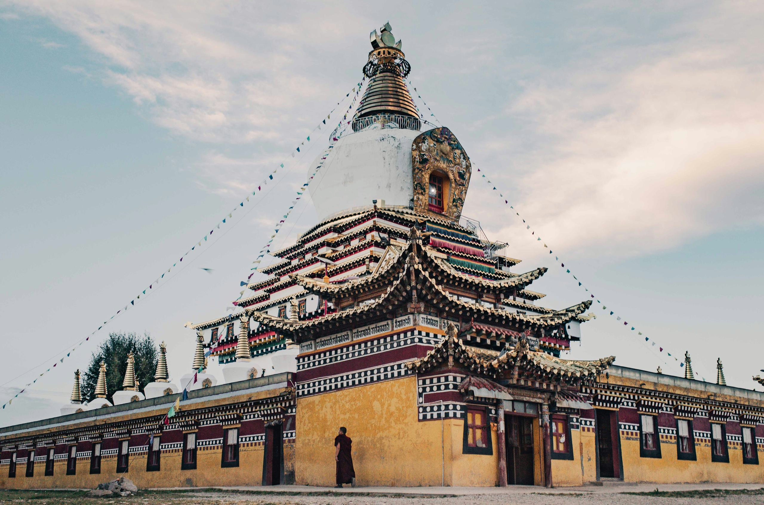
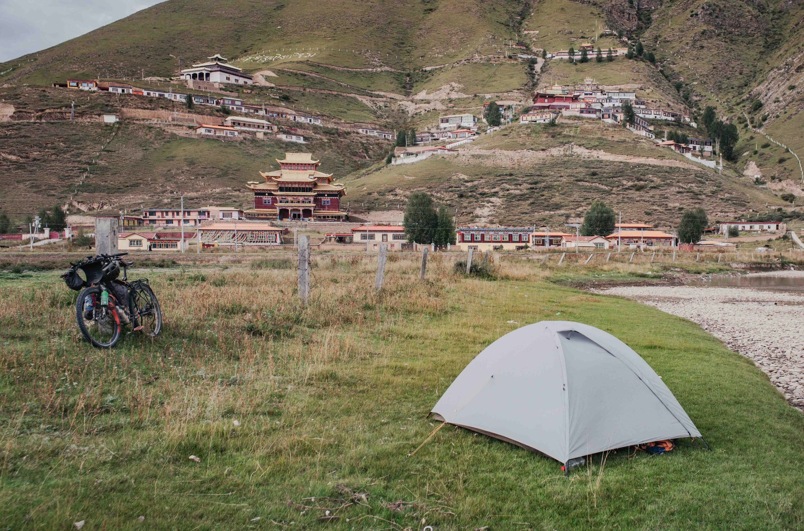
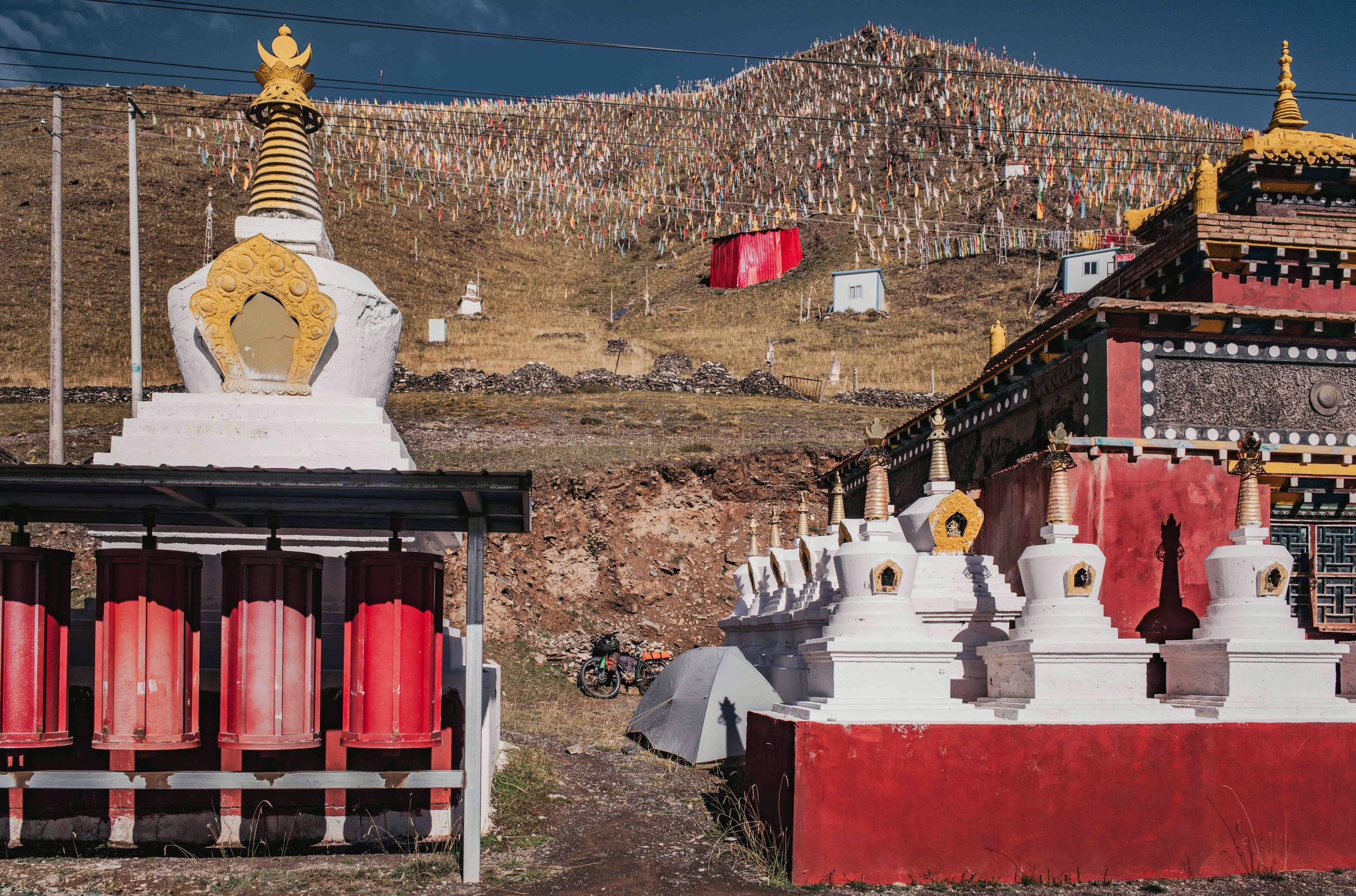
After a few days I overcame the Qinglaishan Mountain Range west of Chengdu, and reached the plateau. I decided to camp near one bigger monastery located in a small town, and it didn’t take long for me to catch the attention of the monks. They said they had never seen a foreigner here, words I would hear often in the coming weeks, and were happy to show me around. I was welcomed with a “Khata”, this scarf is a typical Buddhist welcome gift, and I was also given incense sticks & tea. They then introduced me to the Thangka painters, artists who draw the murals for the temples.
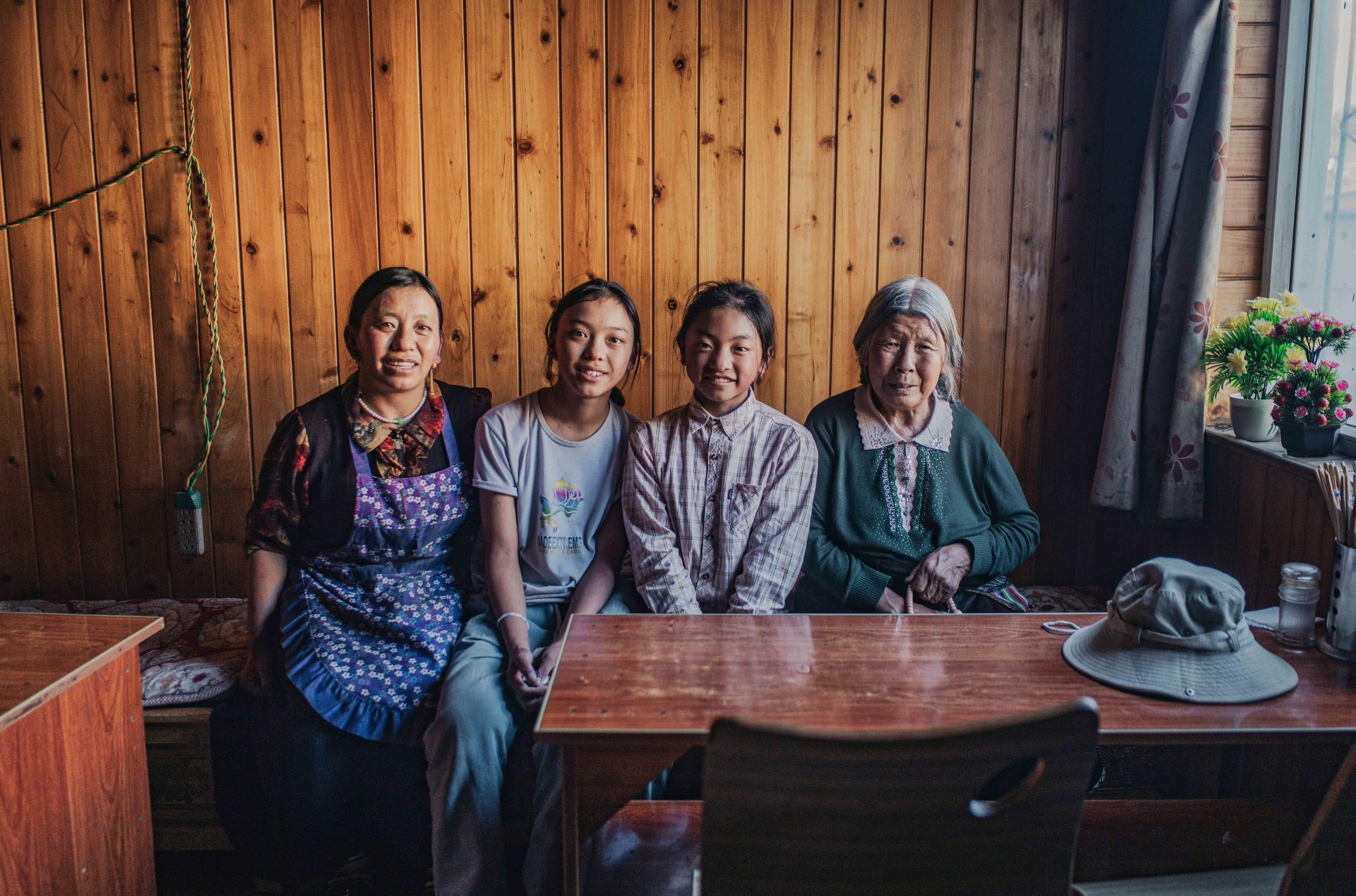
The following morning I was invited for a traditional Tibetan breakfast consisting of “Tsampa” (porridge) and “Po Cha” (butter tea). I couldn’t have wished for a warmer welcome to Tibet.
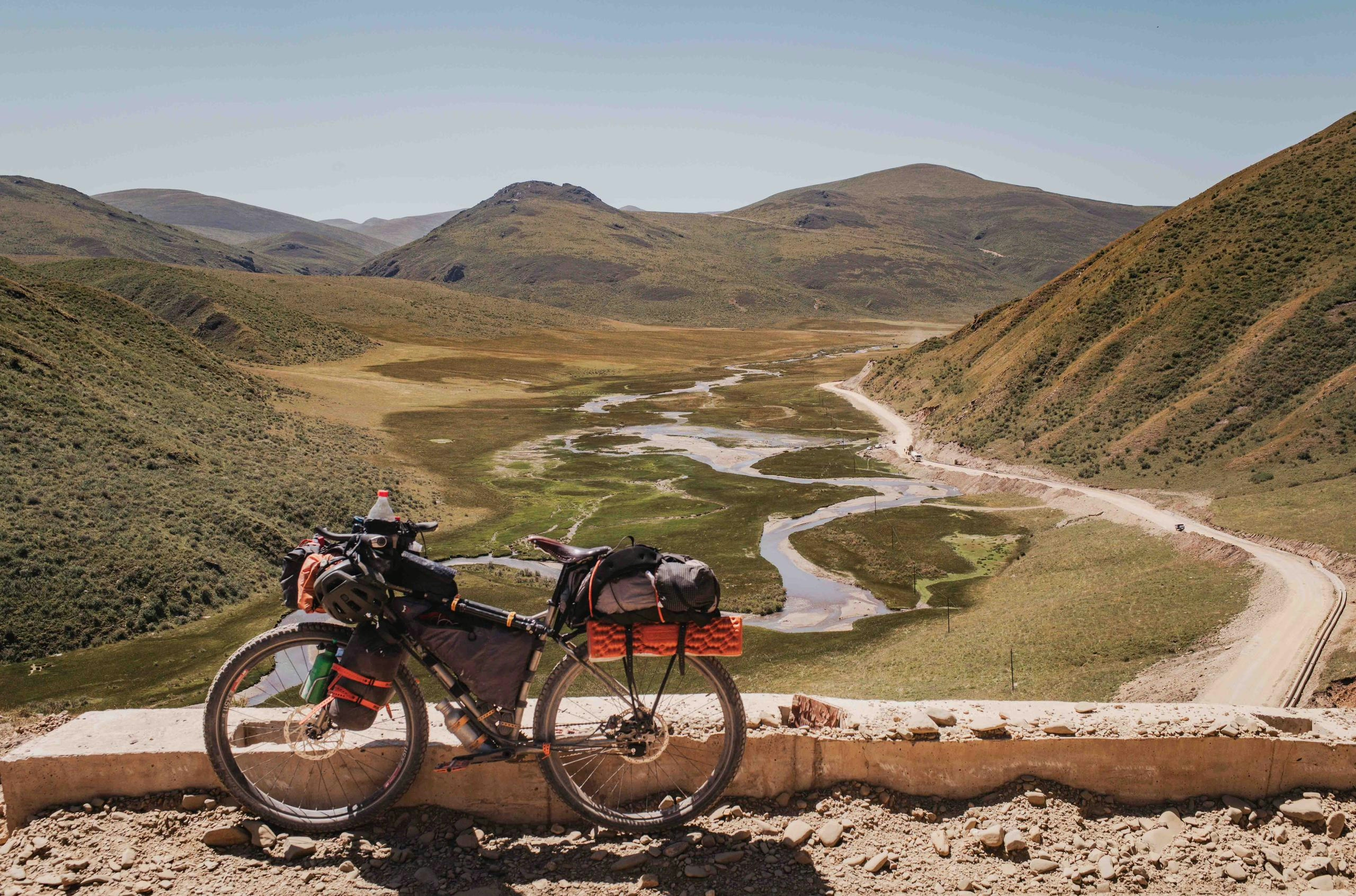
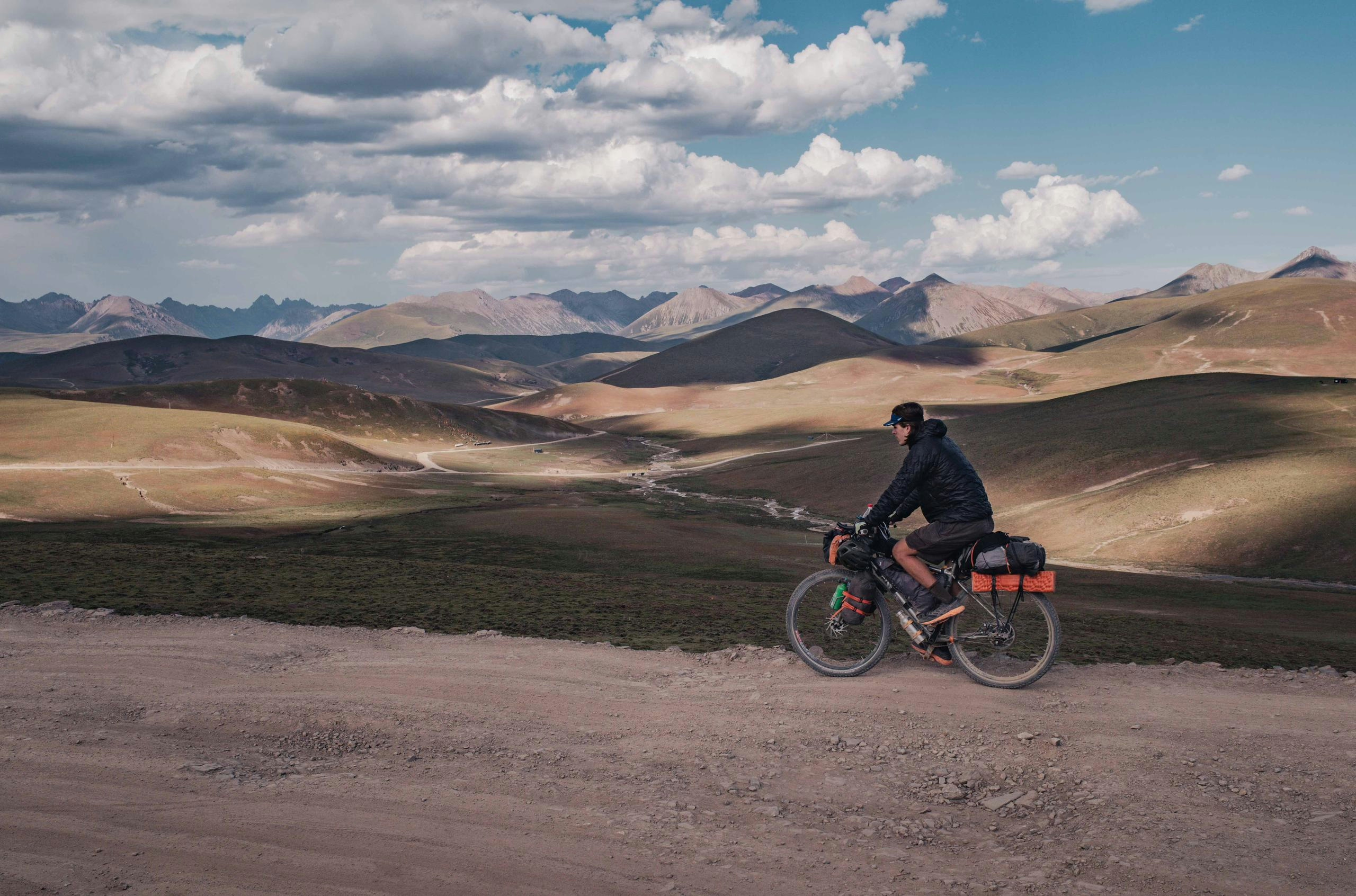
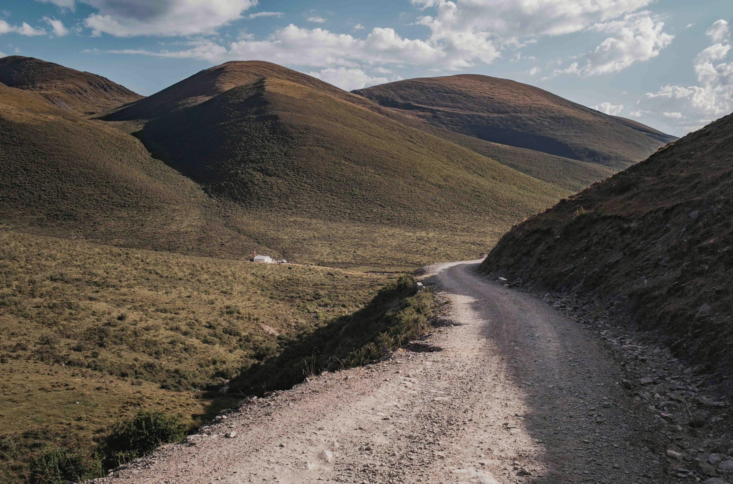
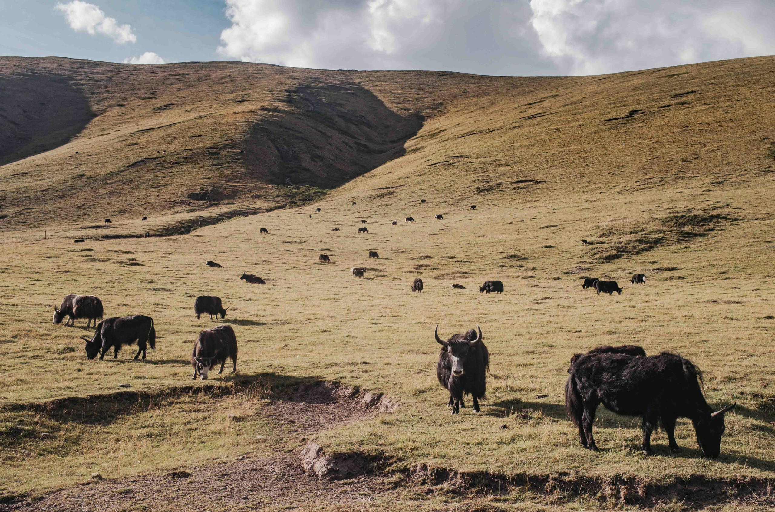
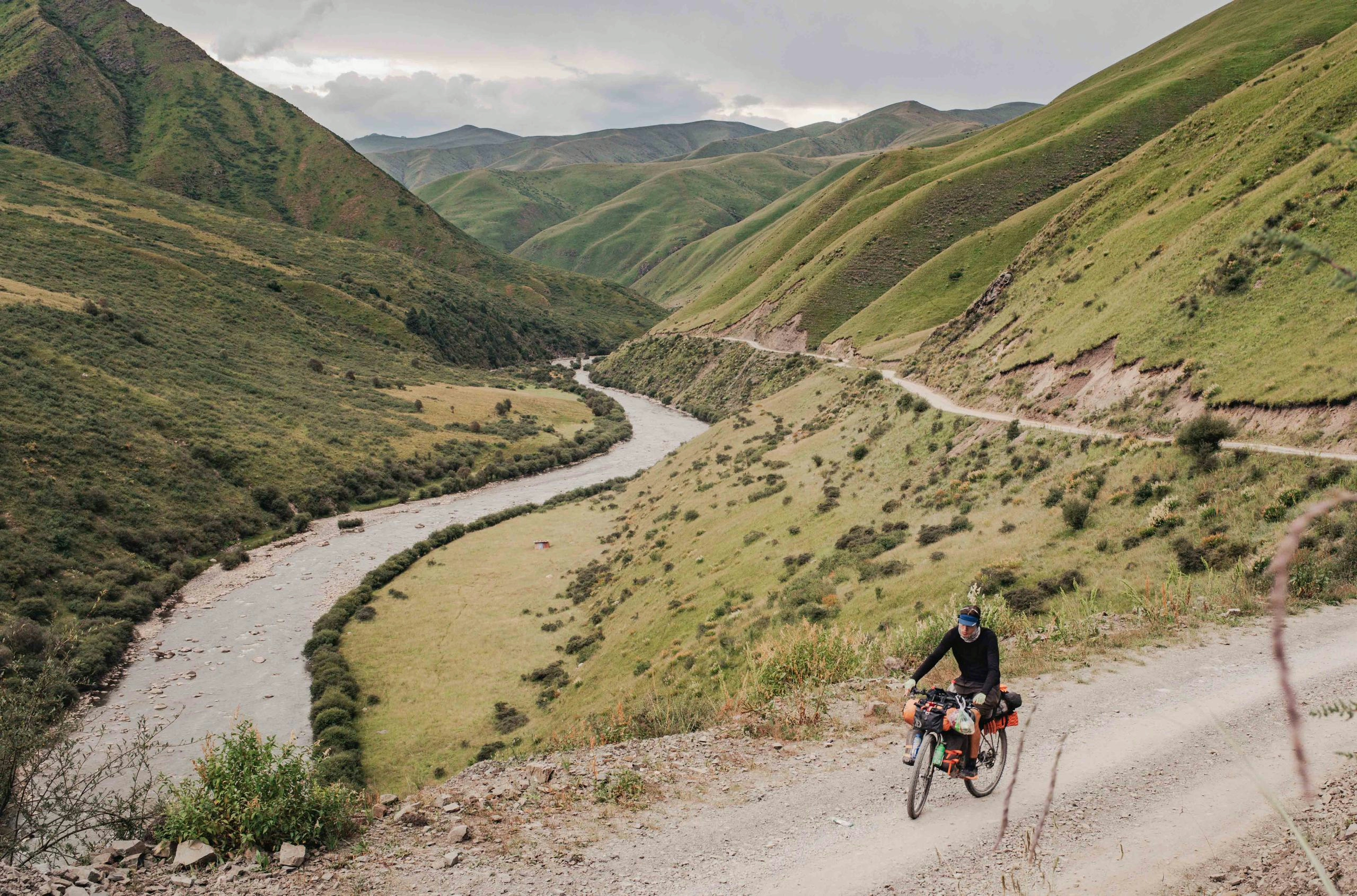
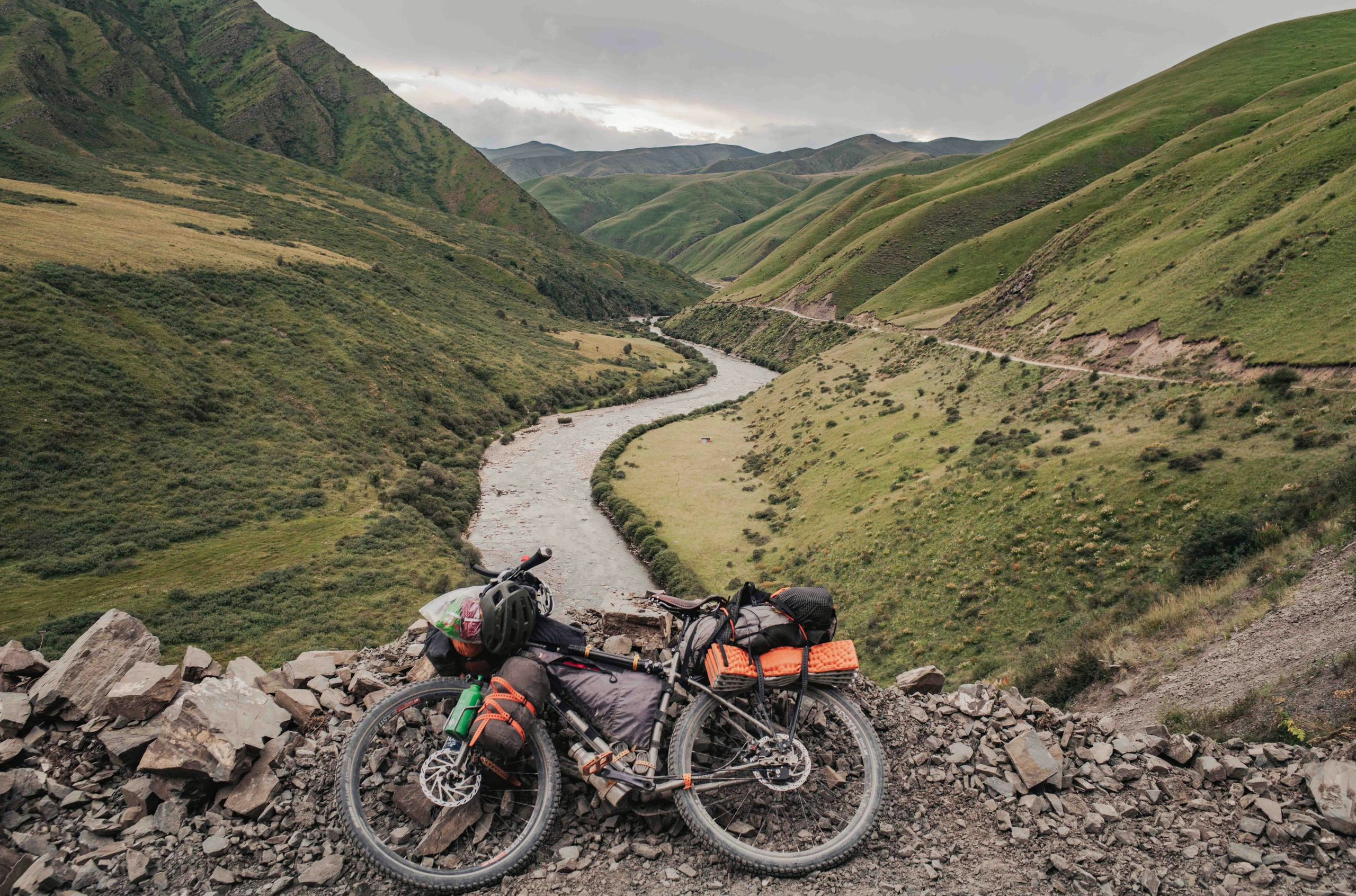
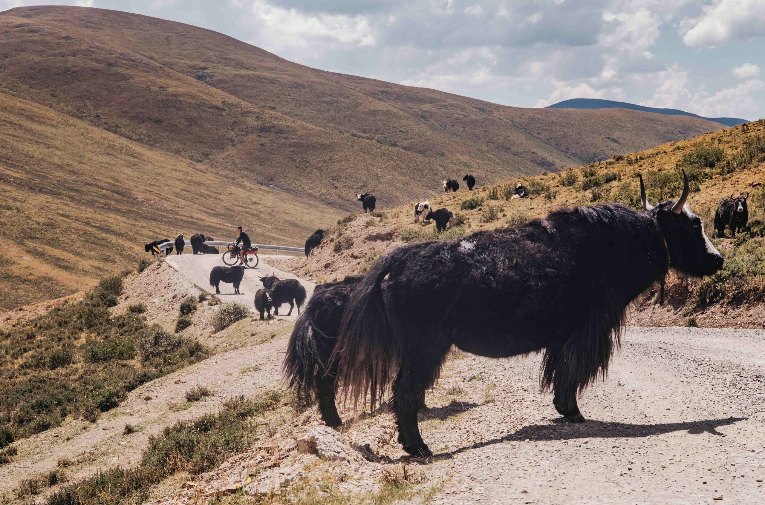
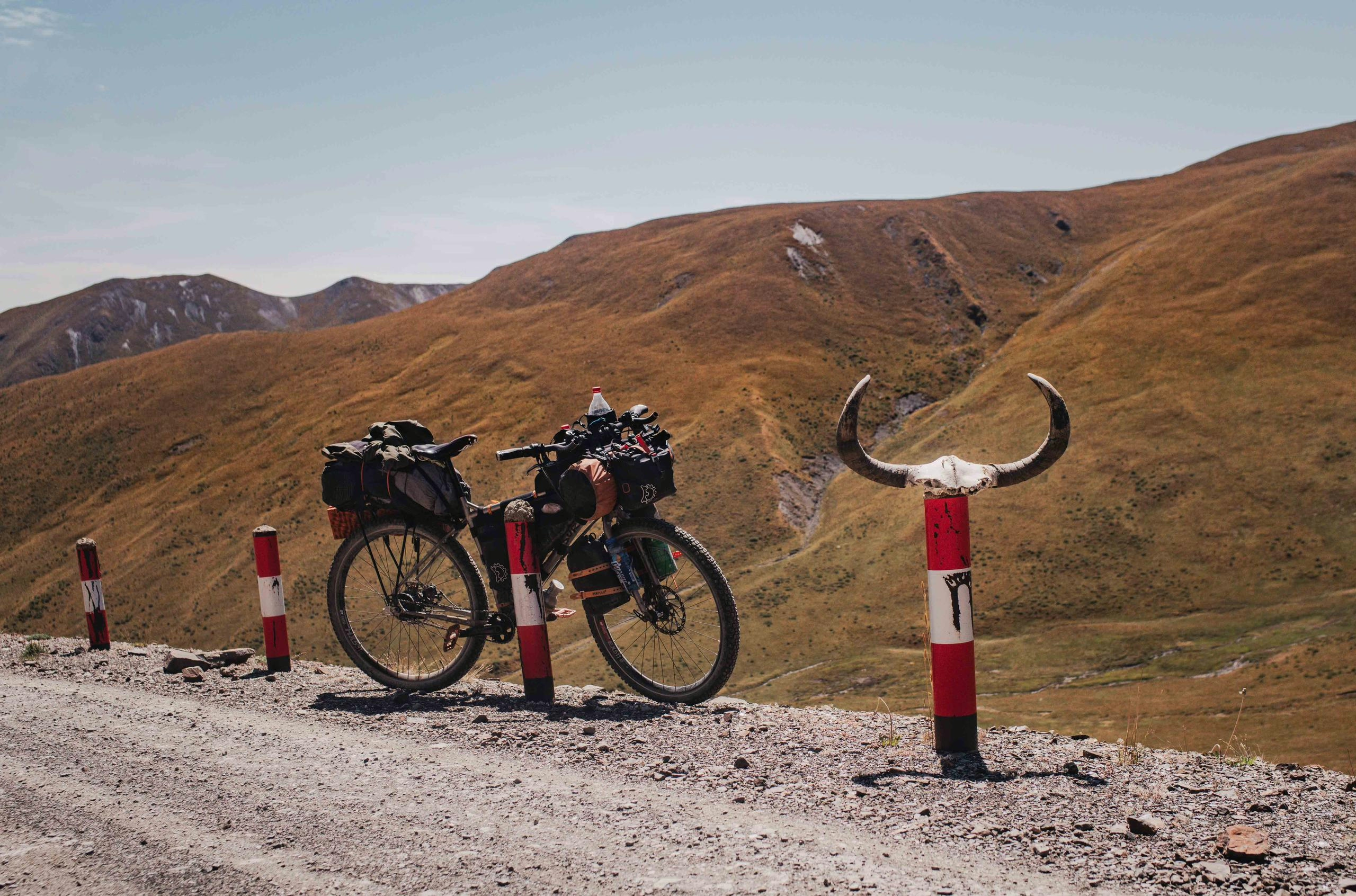
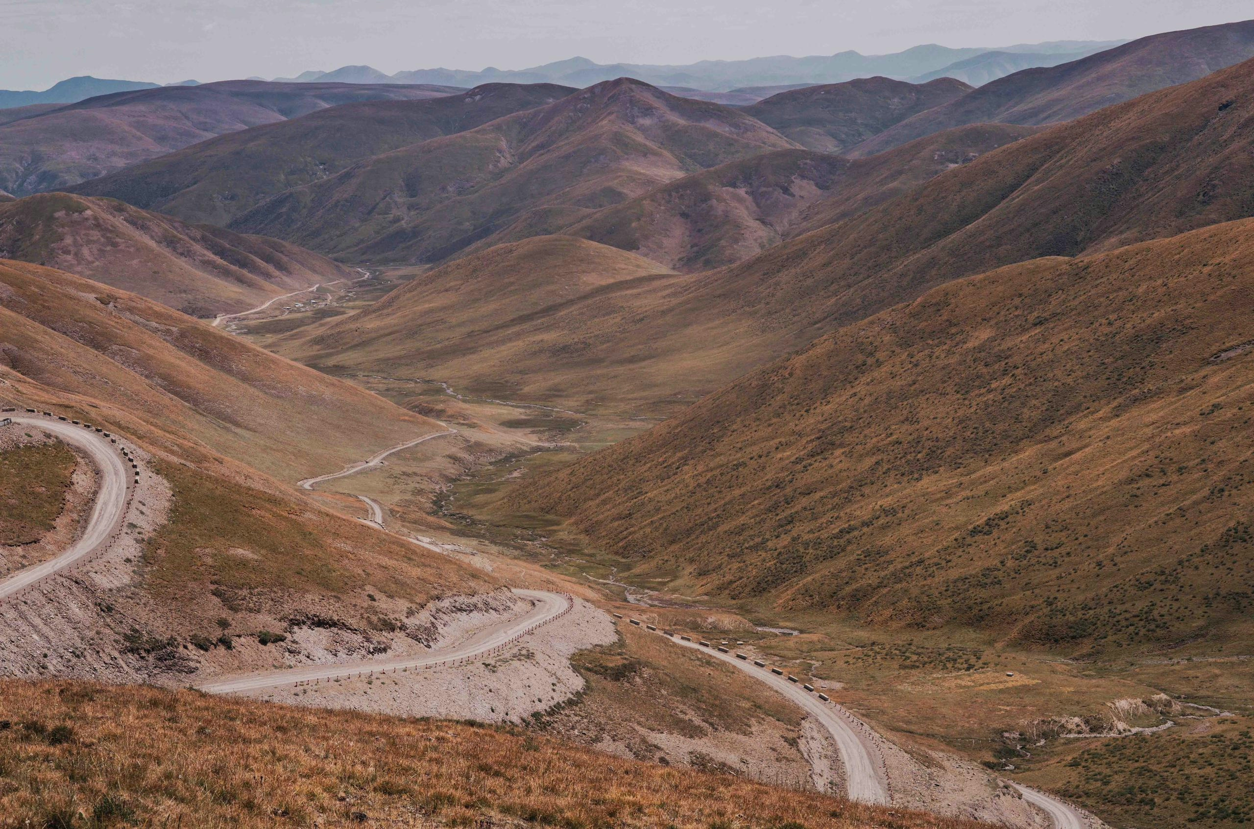
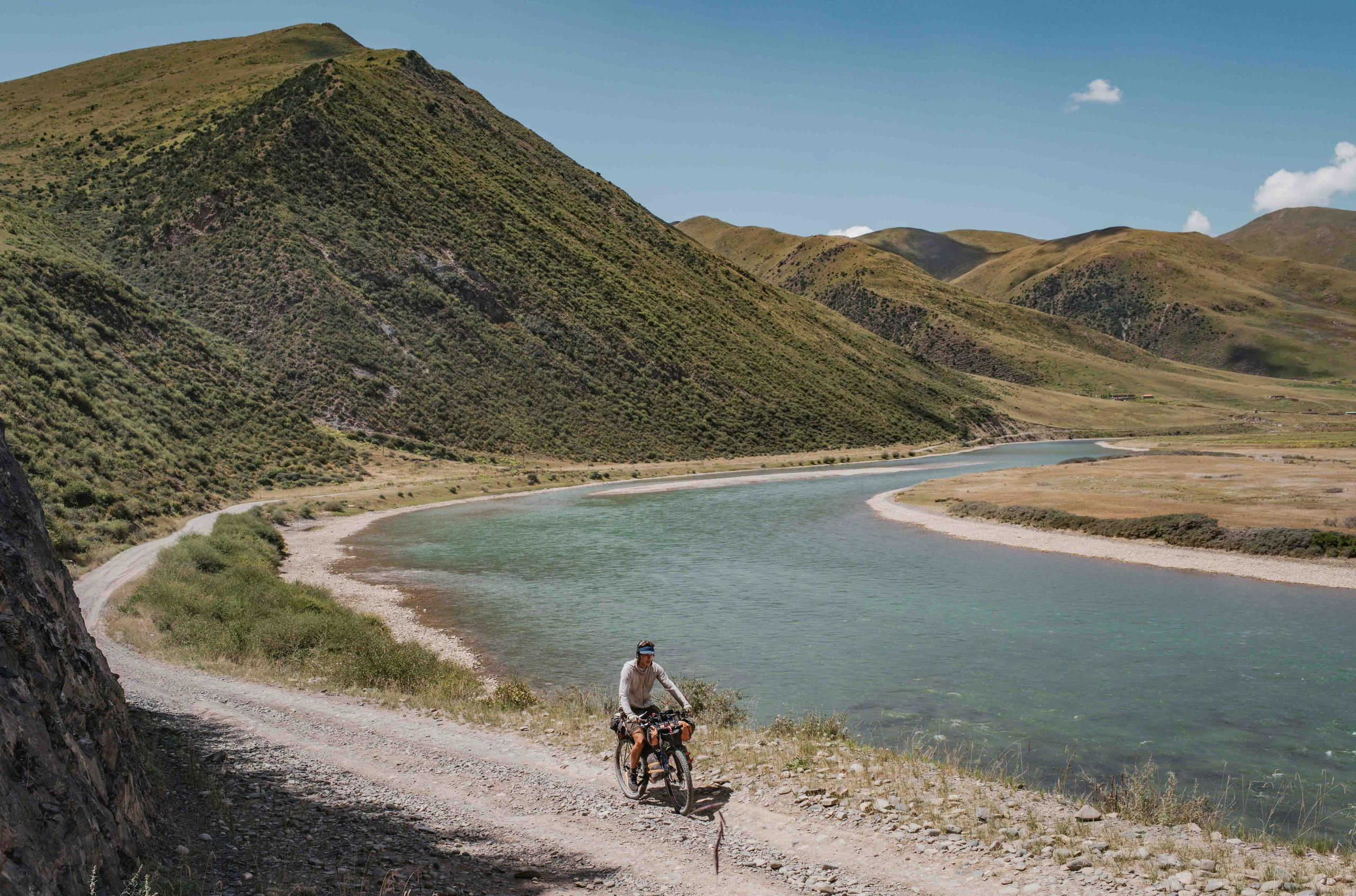
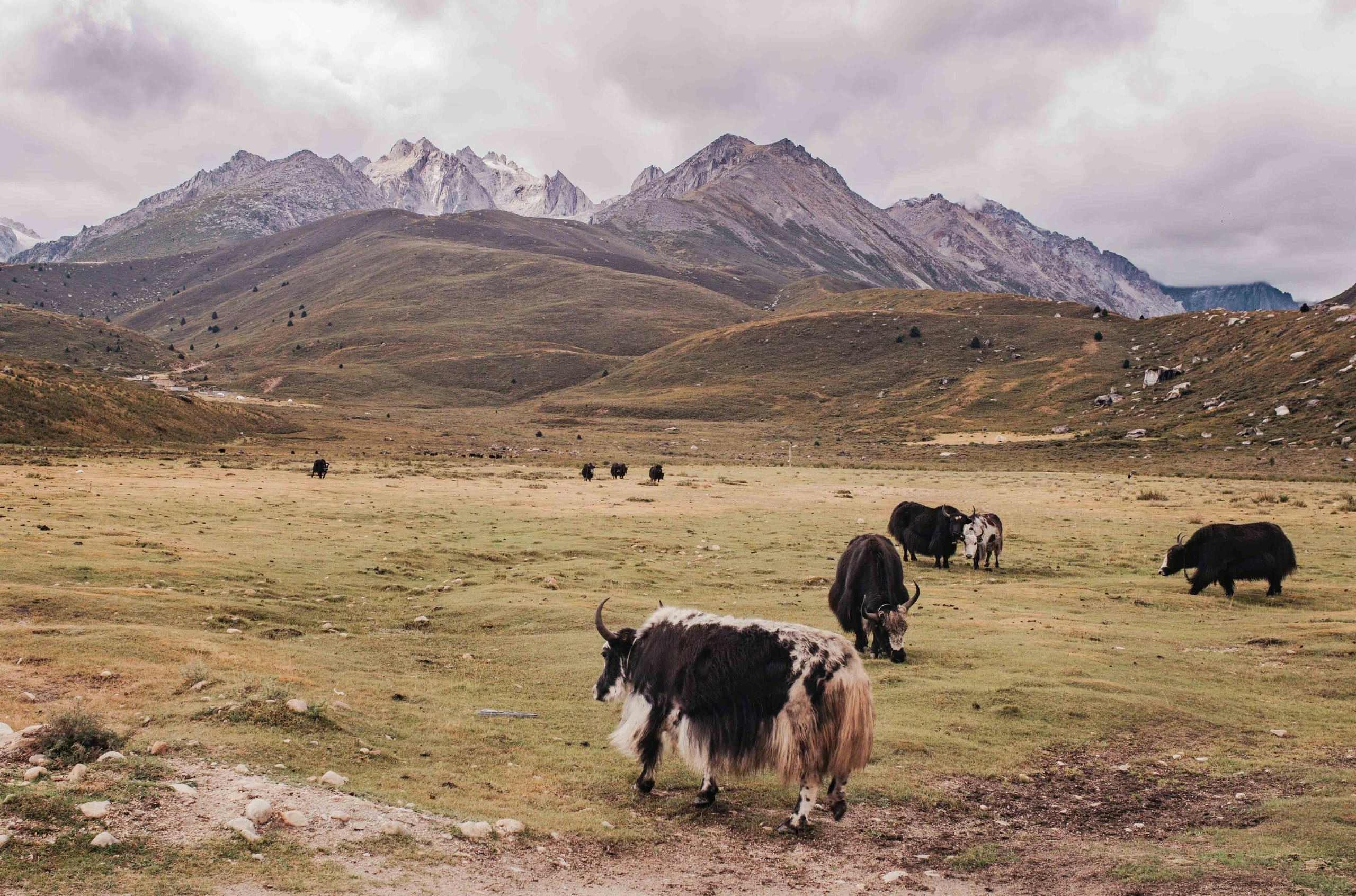
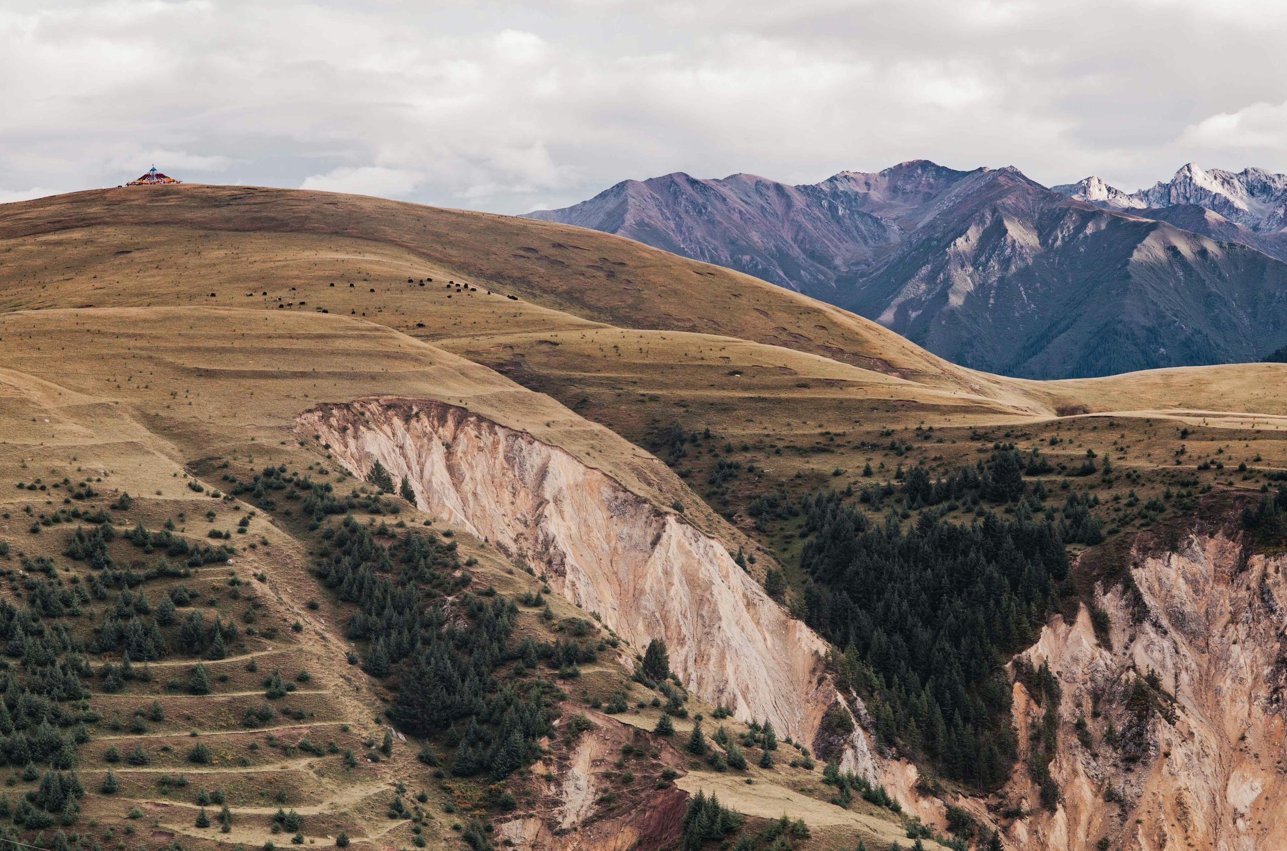
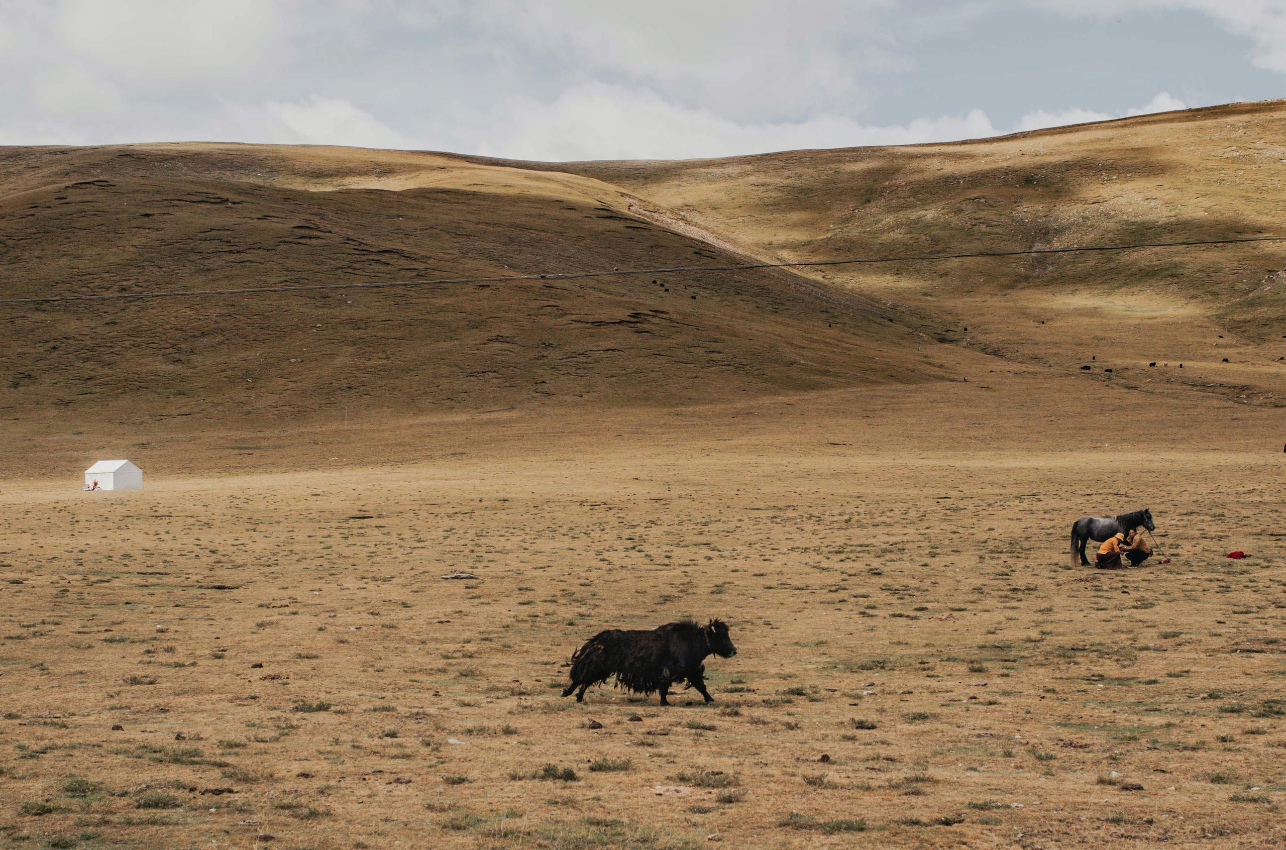
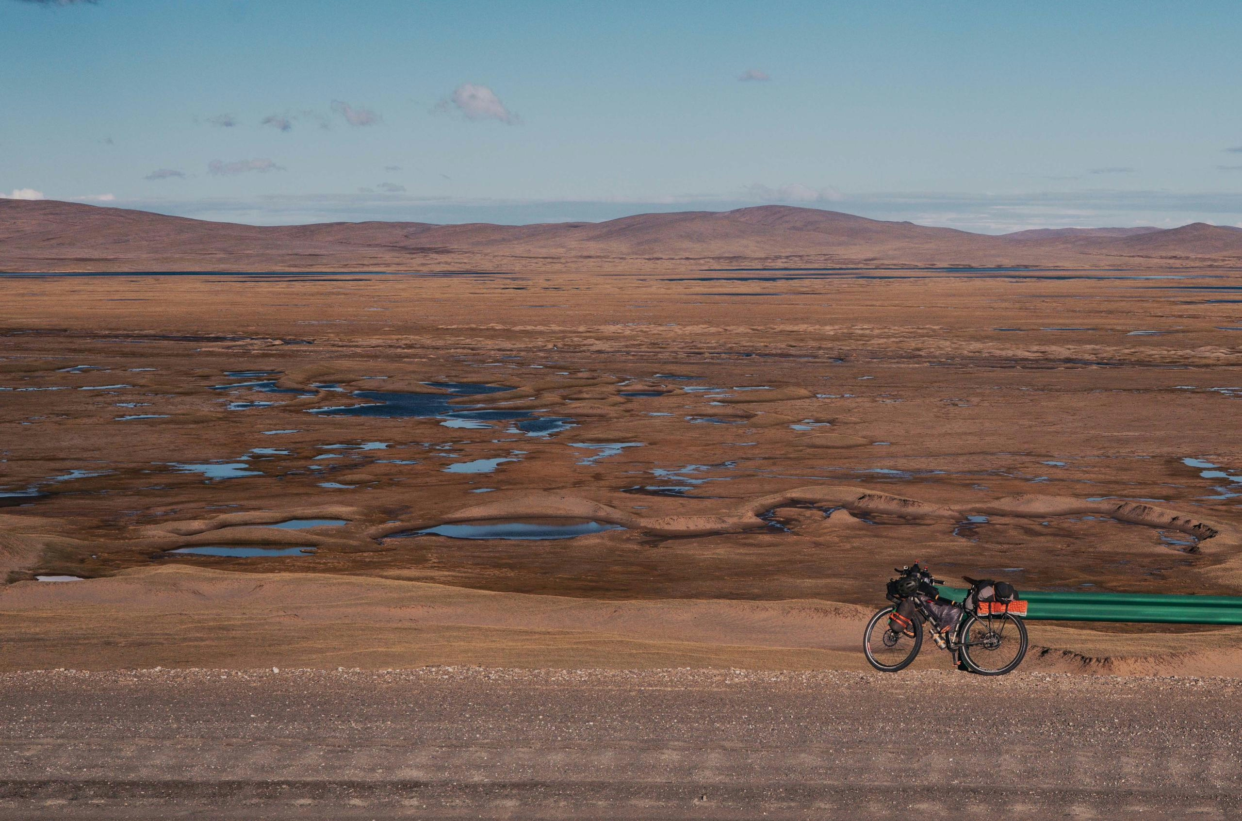
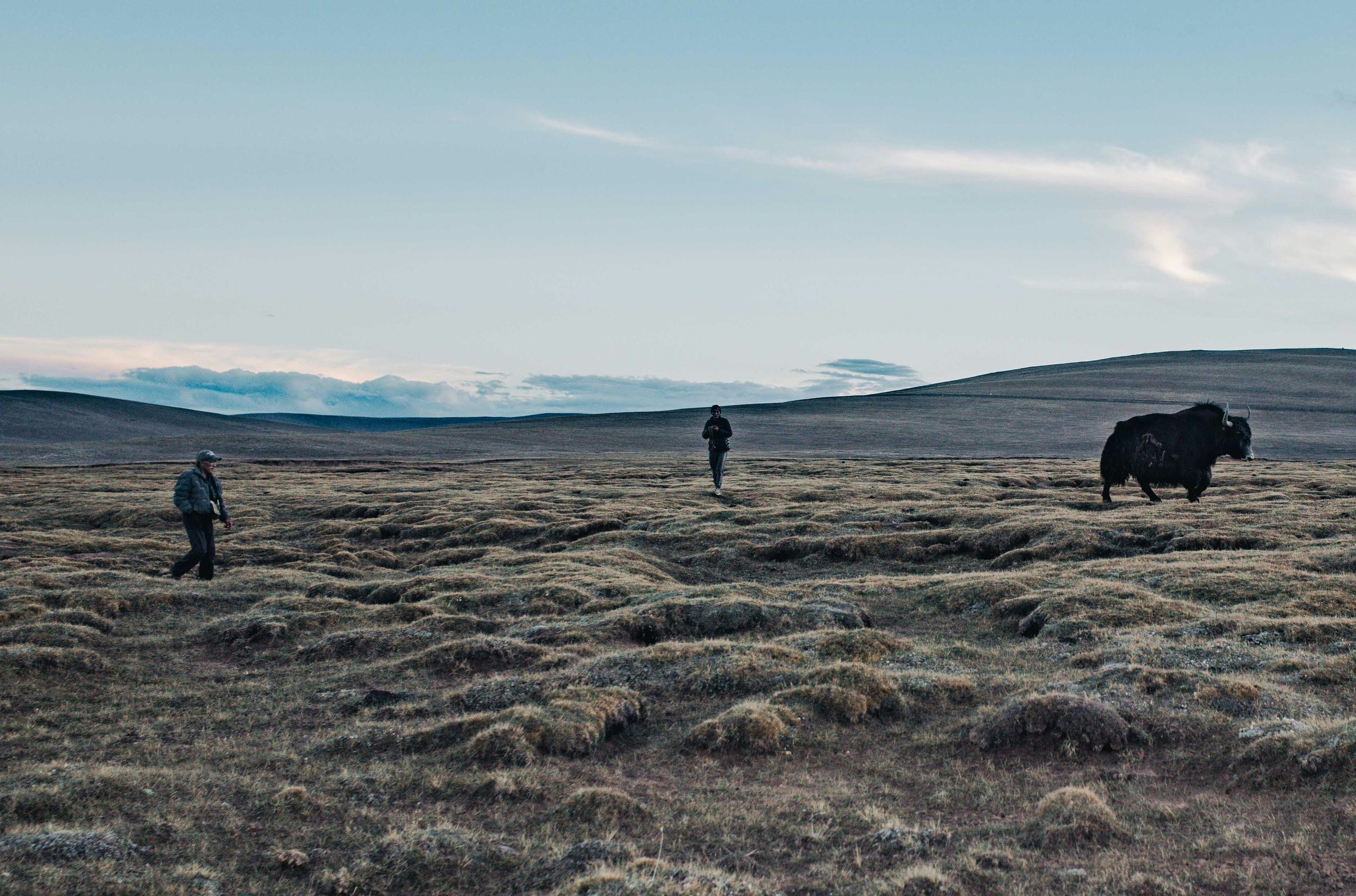
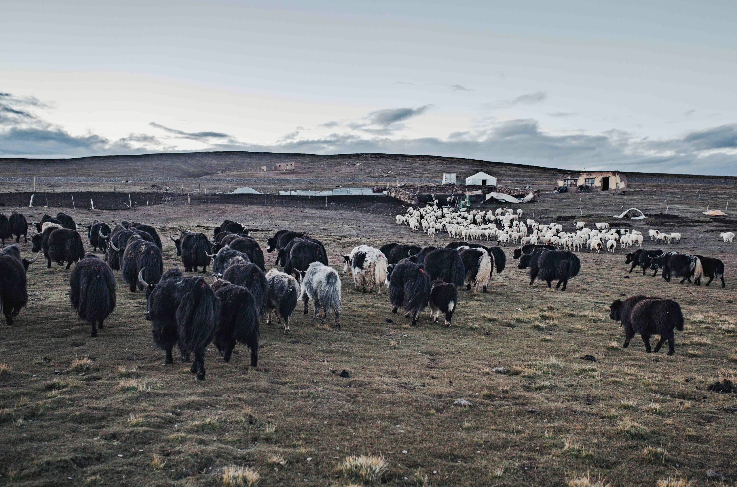
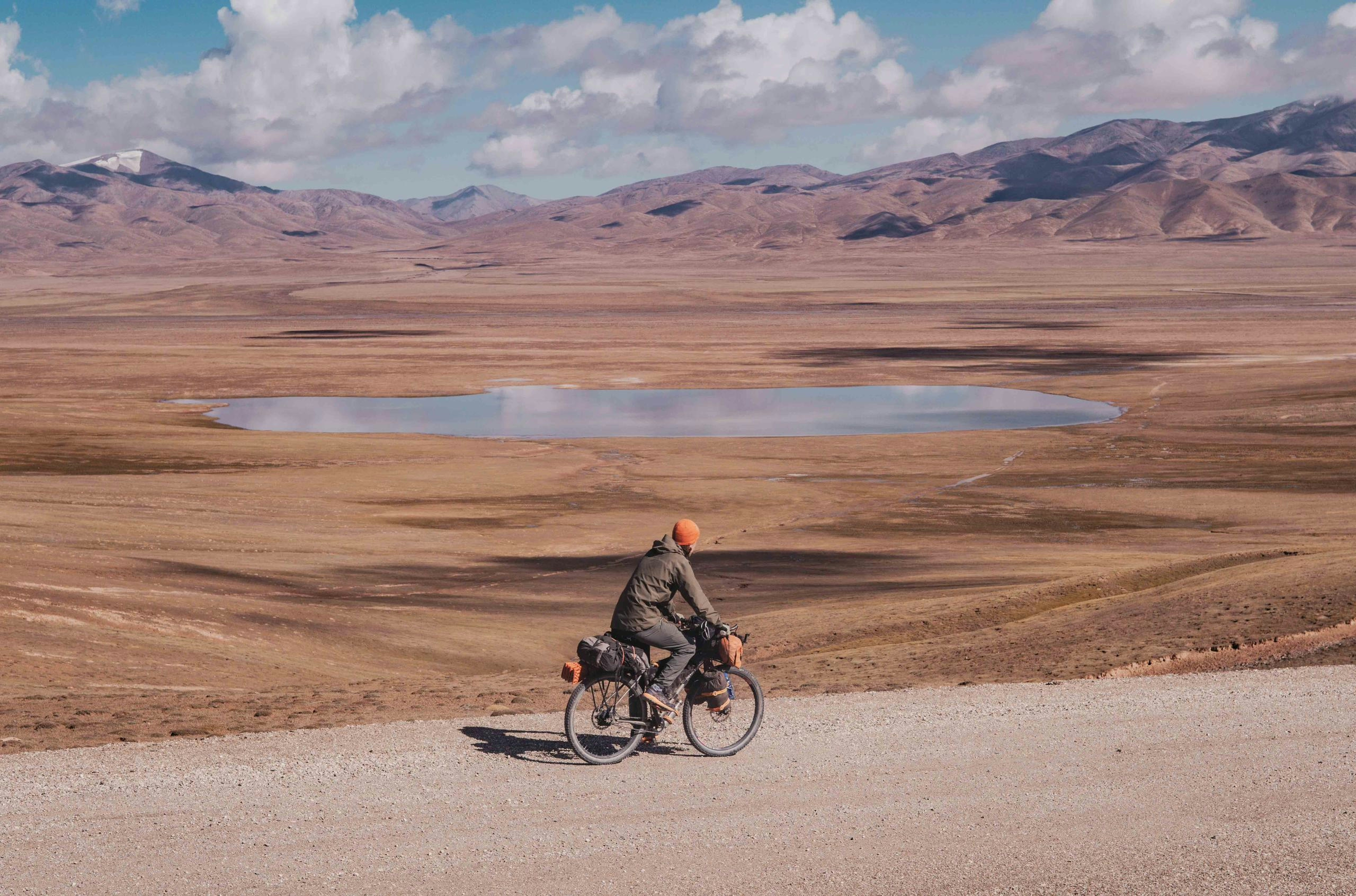
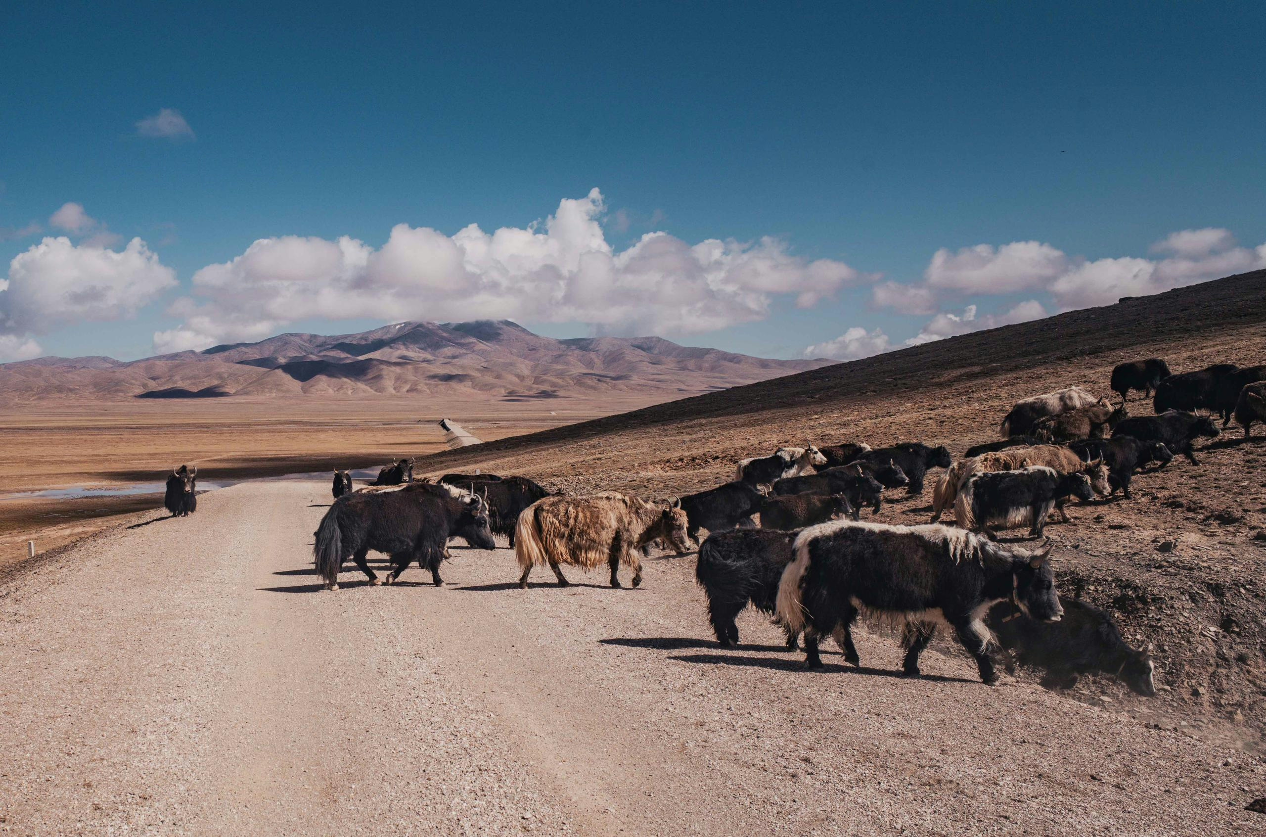
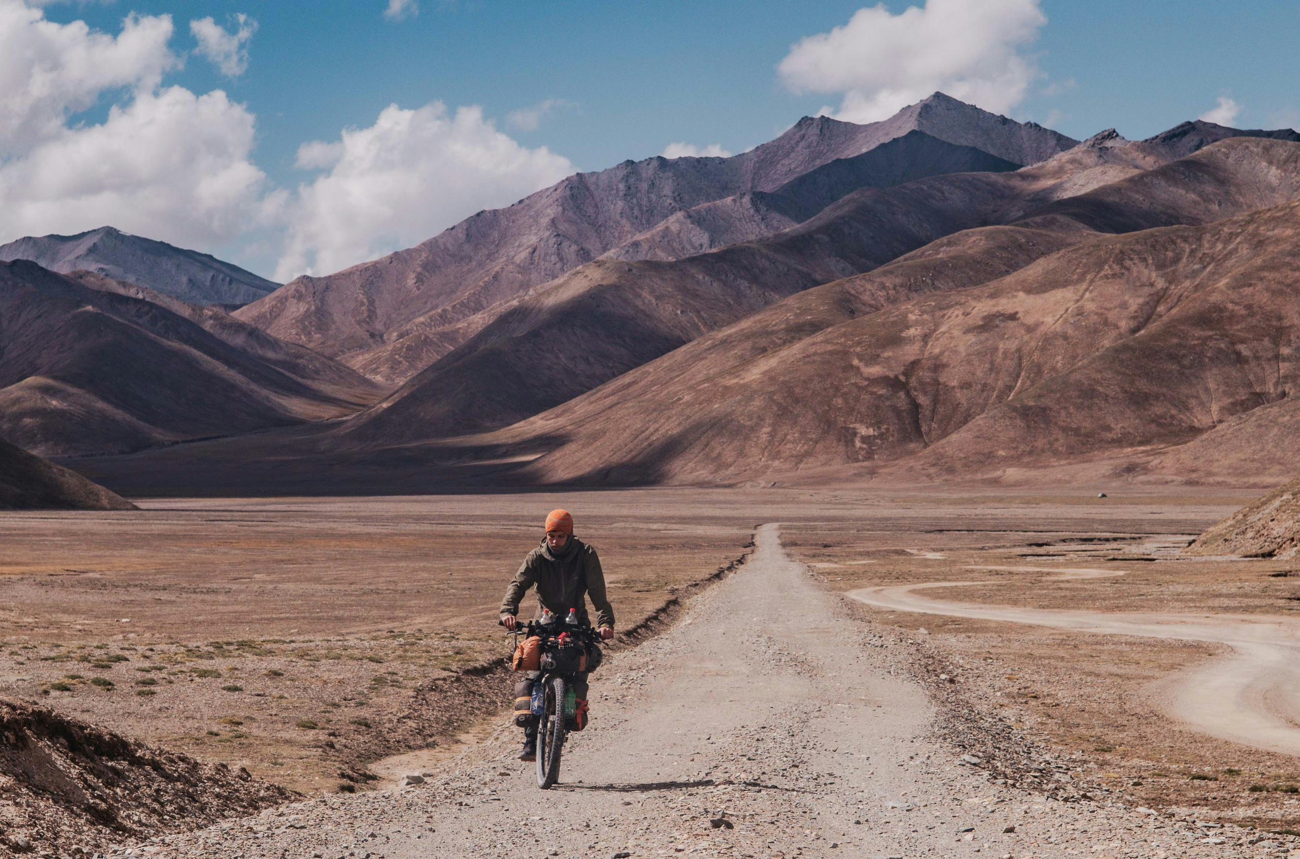
Continuing my way westwards, further up the Tibetan Plateau, it was a great relief to leave the busy roads behind and start hitting the first dirt roads, which aren’t easy to find in most parts of China. After checking out one of the many monasteries, where I once again was invited by a monk for some breakfast and received insight in their daily lives, I stocked up on some food and hit the trails. For the next two days I followed a remote unpaved road leading over a 4400m pass, passing by the plains inhabited by a handful of Tibetan nomads caring for their yaks. Those, along with some eagles and the commonly found Plateau Pika, a sort of hamster, would be the only living beings I would come across. I thoroughly enjoyed the solitude which reminded me of my time in Mongolia, and the road surfaces here were much better despite being at 4000+ meters.
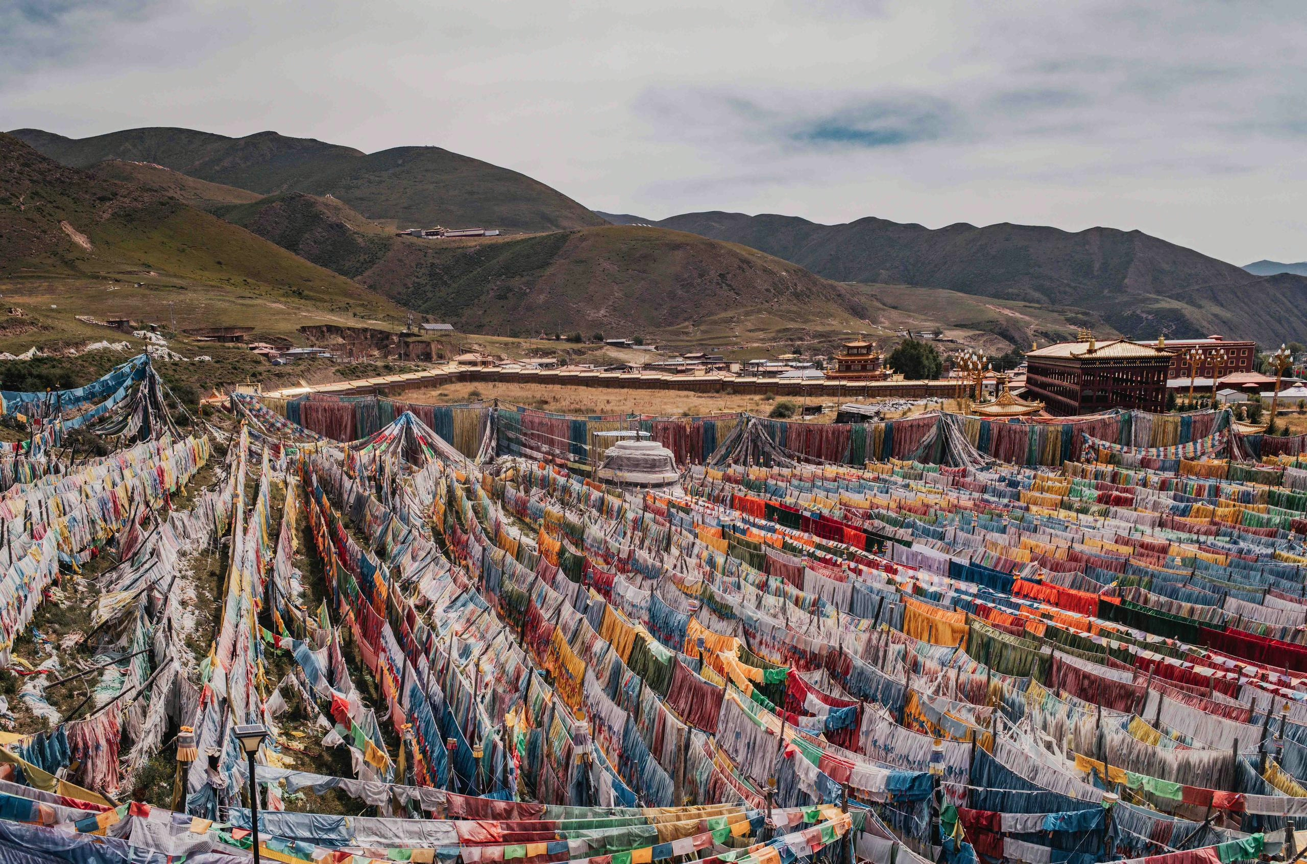
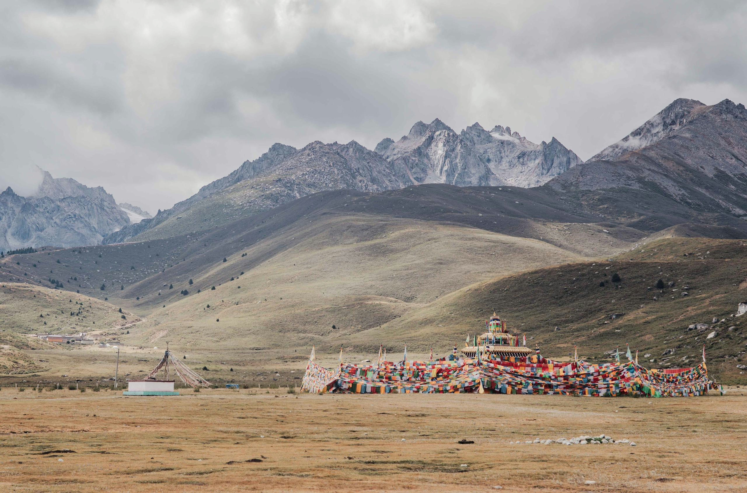
After a short stop in the impressive town of Chakri Tang (江日堂乡), one full of temples and an ocean of prayer flags, where I made use of the affordable yet delicious restaurants one can find all across China, I set off to climb the next 4500m pass. To my surprise this one was paved with butter smooth asphalt yet saw basically no traffic, and after reaching the top I descended into a small unassuming town called Gyimkar, where I was flagged down by the police.
“Foreigners are not allowed here” they told me via Google Translate (speech translation only works with a VPN, by the way). This was news to me, at it seemed like a town like any other, situated on the Sichuan-Qinghai boundary, nowhere near the Tibetan Autonomous Region (T.A.R.) which doesn’t permit foreigners without a tour guide.
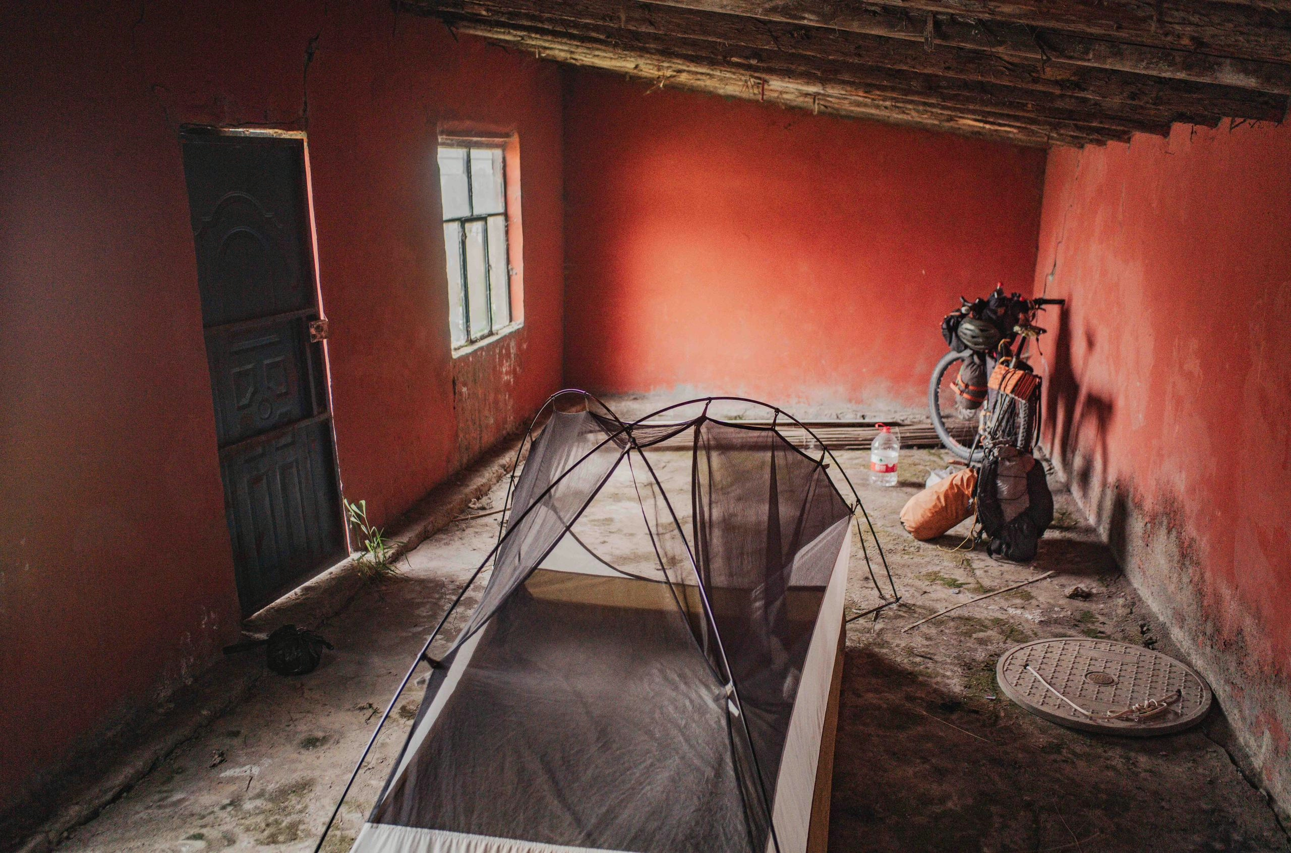
It wasn’t my first encounter with the Chinese police, as I had cycled through parts of Xinjiang, a more sensitive region in China, earlier this year on my way to Mongolia. So far all encounters have been very friendly, and this one was no different: We agreed that I would spend the night in a shed near the police station and I could continue cycling freely the next morning. They then bought me dinner and a bunch of snacks.
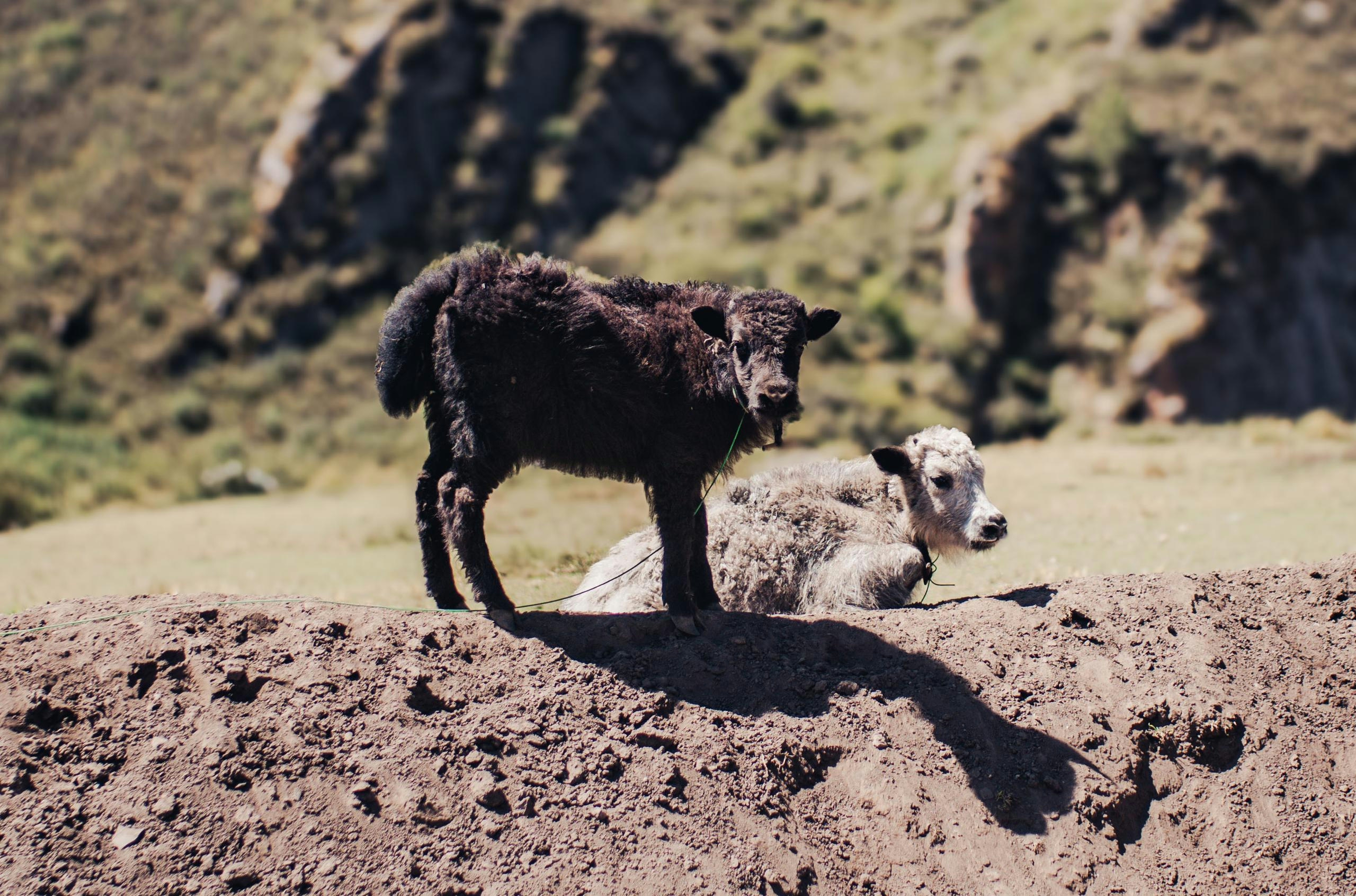
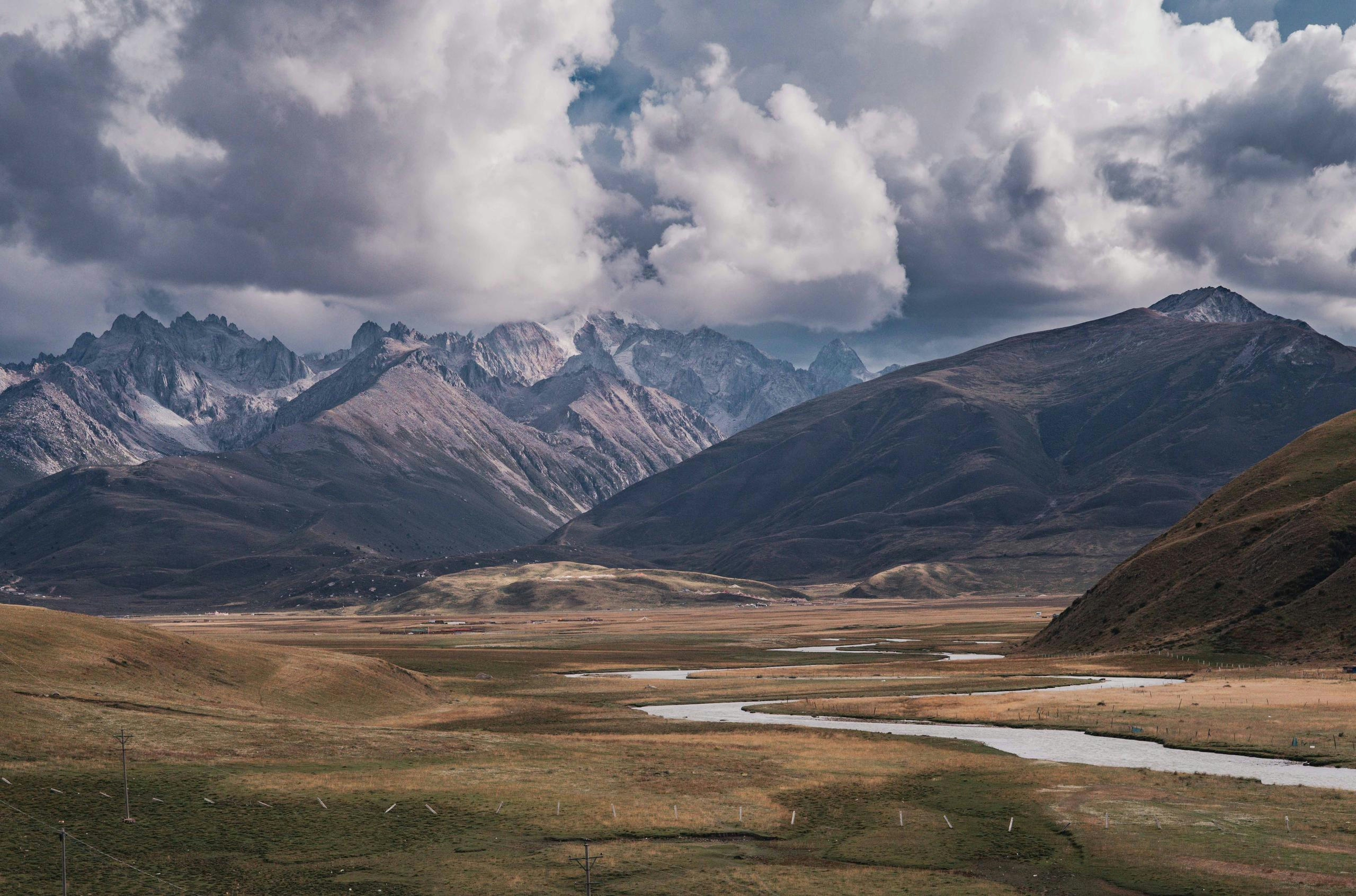
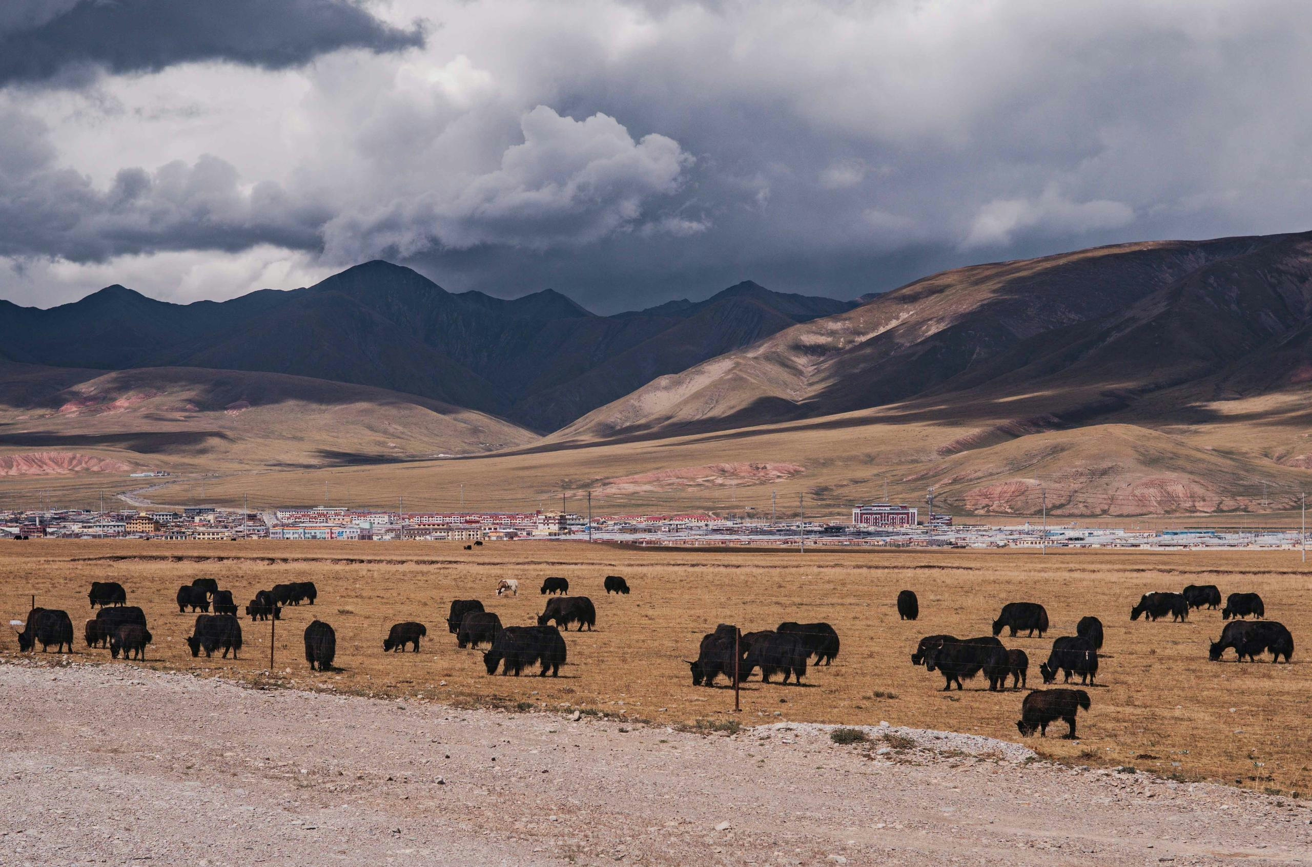
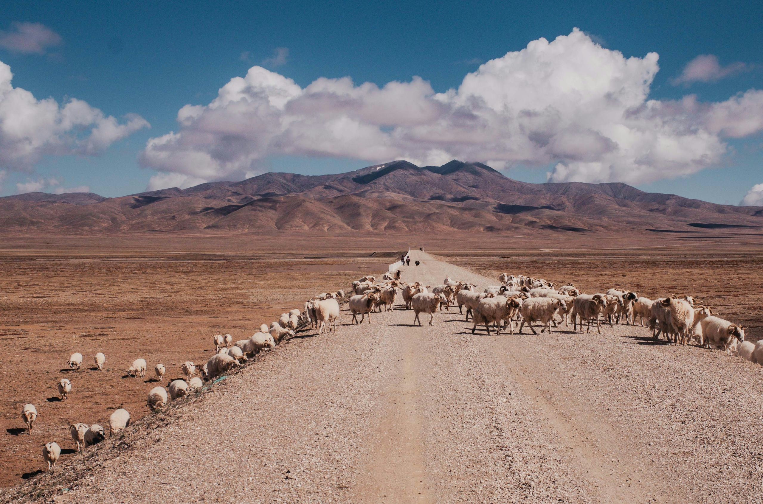
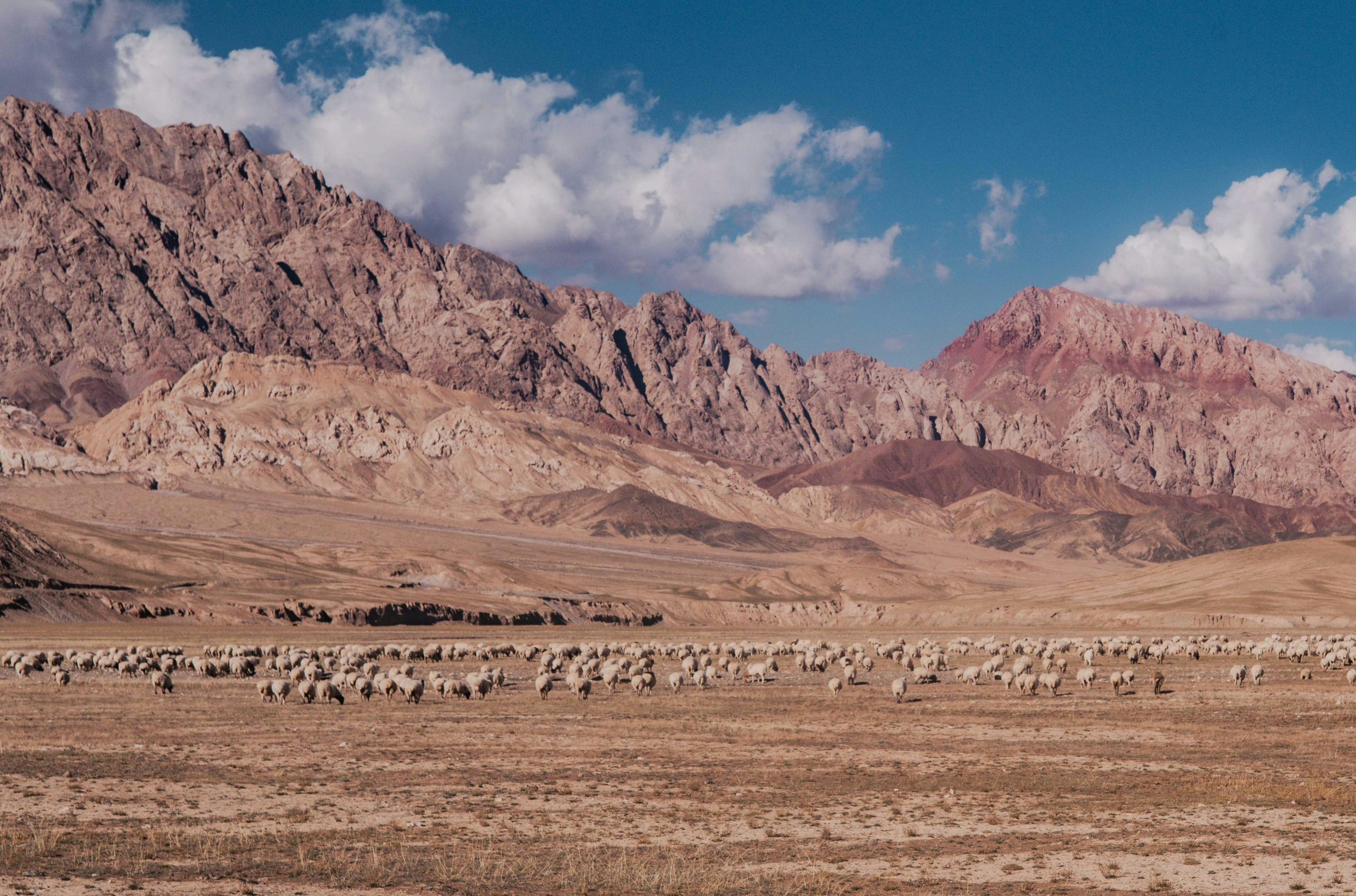
Here I once again restocked my food supply and continued to cycle another remote unpaved road which would eventually lead me over a 4750m high unnamed pass. On the other side of the pass a wide plateau, scattered with some nomad tents awaited me. Here I also saw my first wolf, probably preying on the yak calves. China is the country with the biggest yak population in the world, and it has started to show.
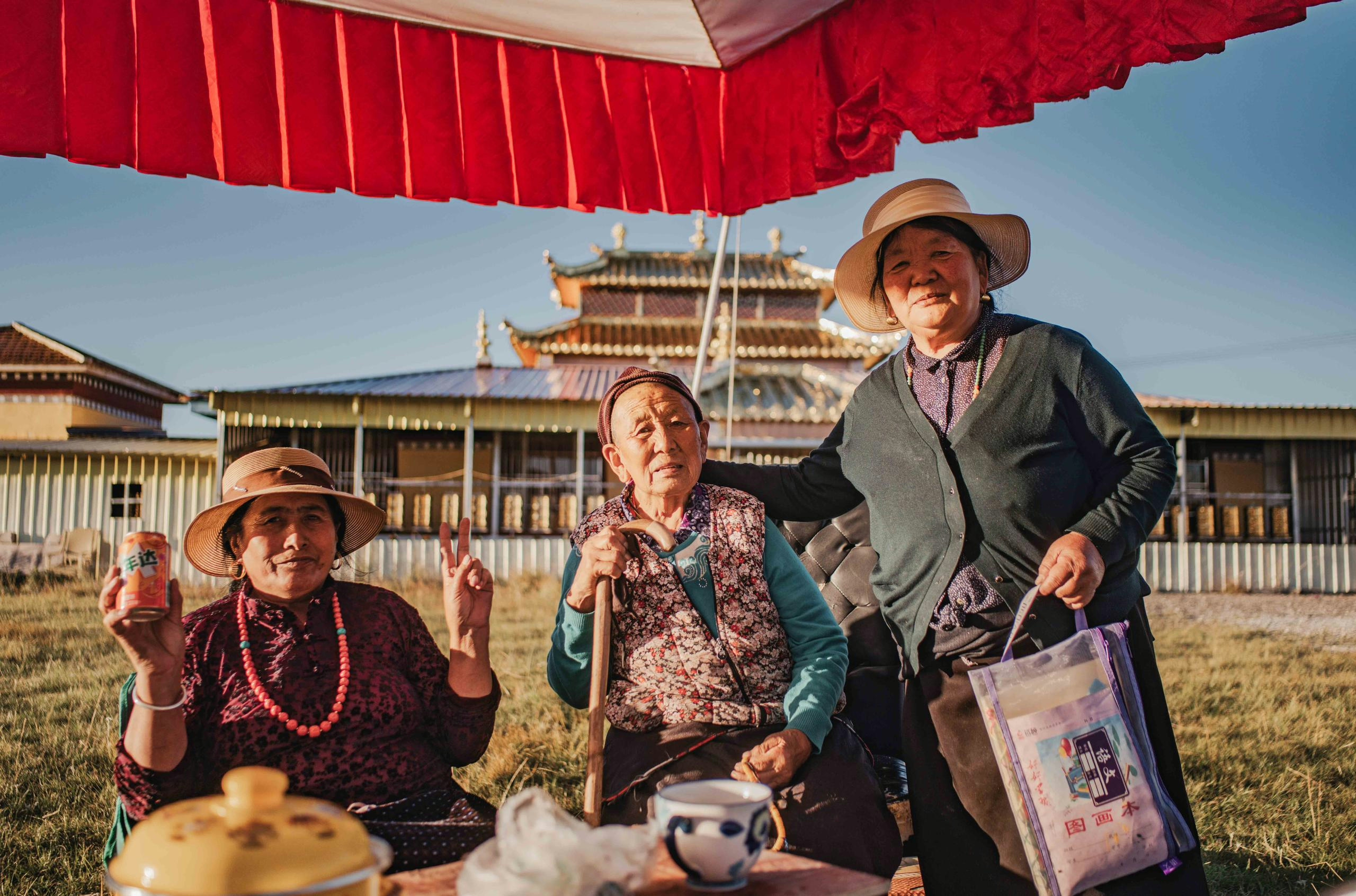
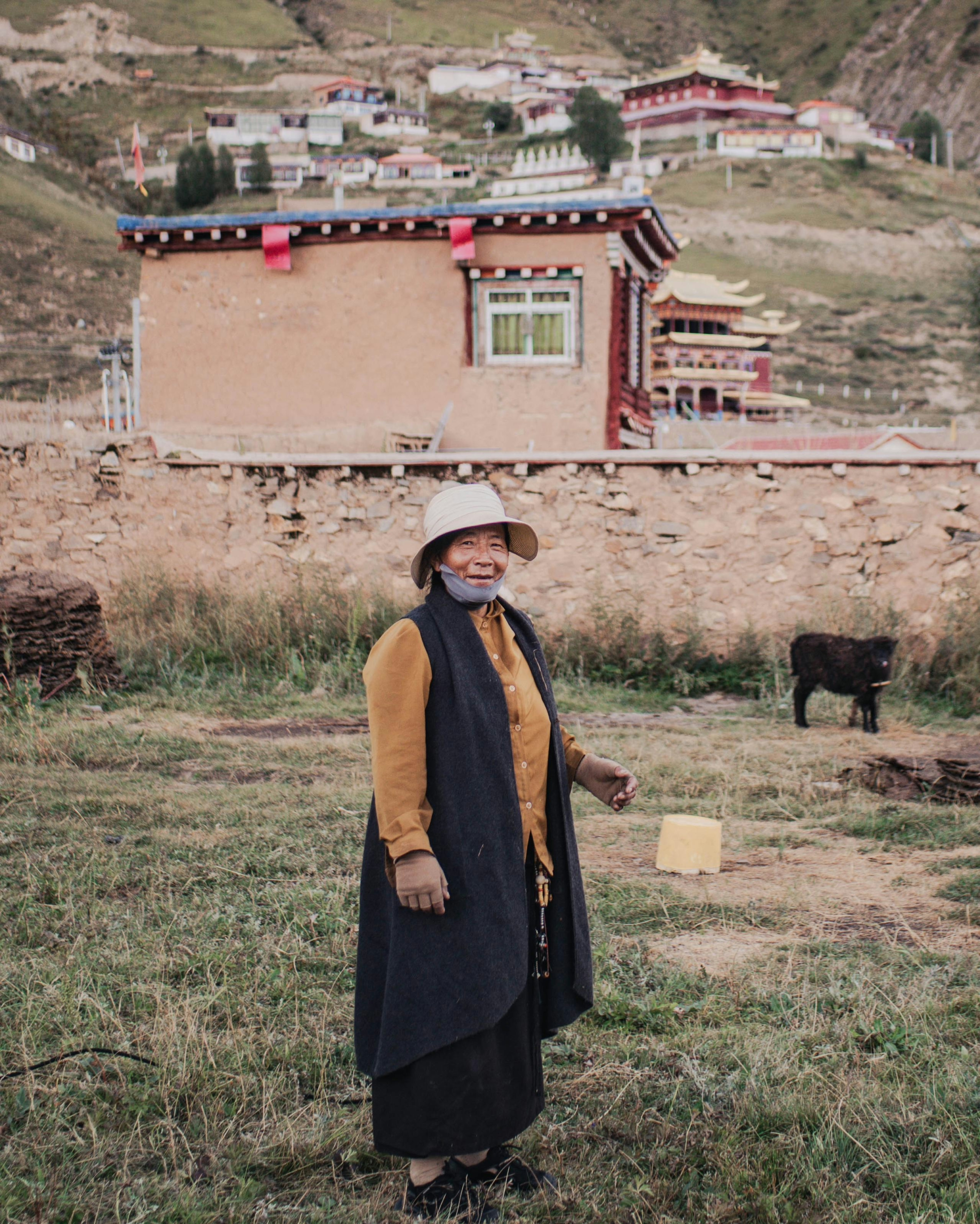
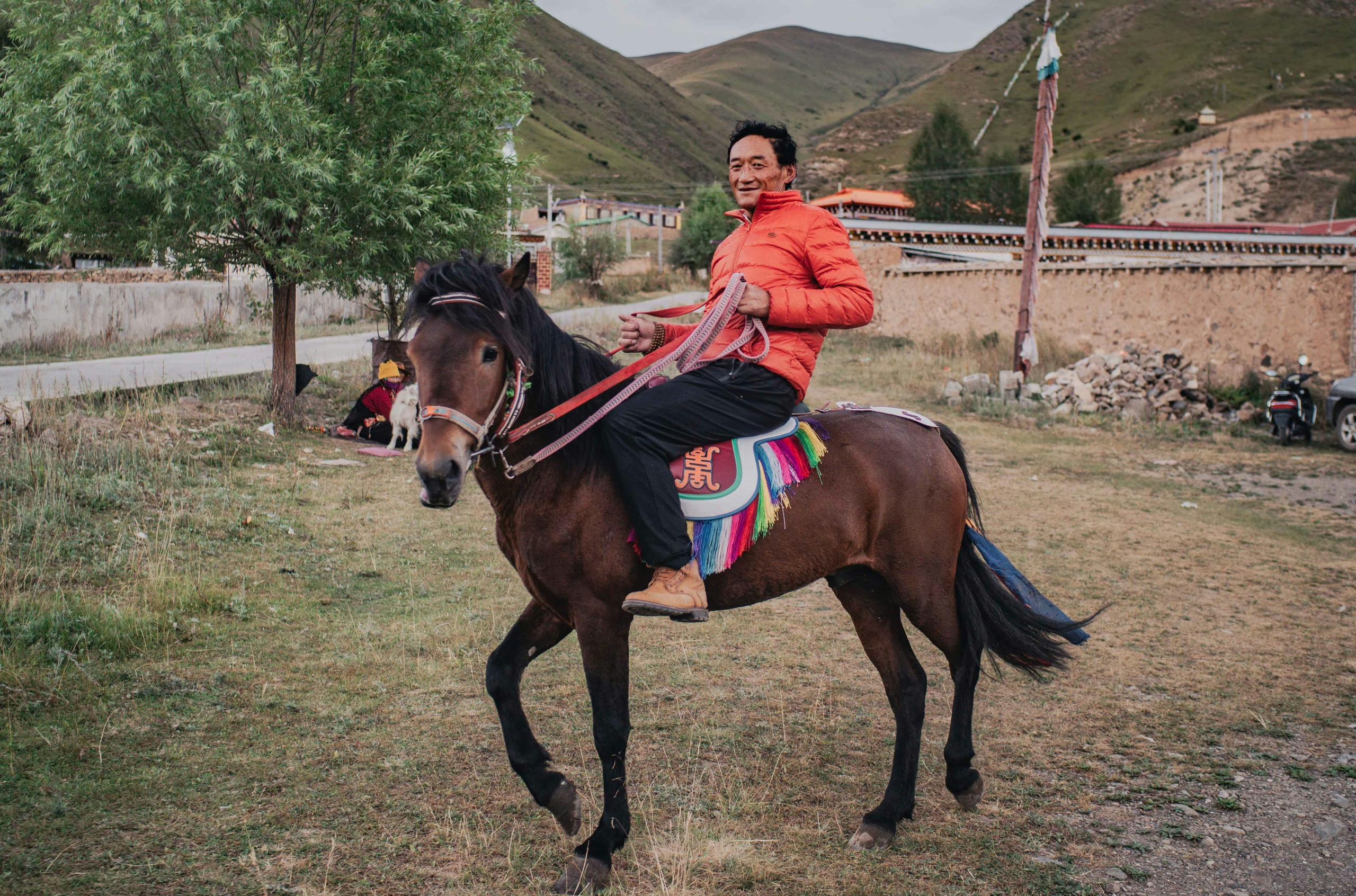
While the Tibetan nomads have been rather shy so far, which I don’t blame them for, given the combination of their conservative nature and the confusion of seeing a cyclist in the middle of nowhere, it is a different story in the villages and towns. People are welcoming and curious, checking out my bike and tent, and willing to start a conversation. Unfortunately the Tibetan translator I had downloaded wasn’t performing as well as I hoped, and most locals speak little to no Chinese, apart from the younger ones who were taught it in school.
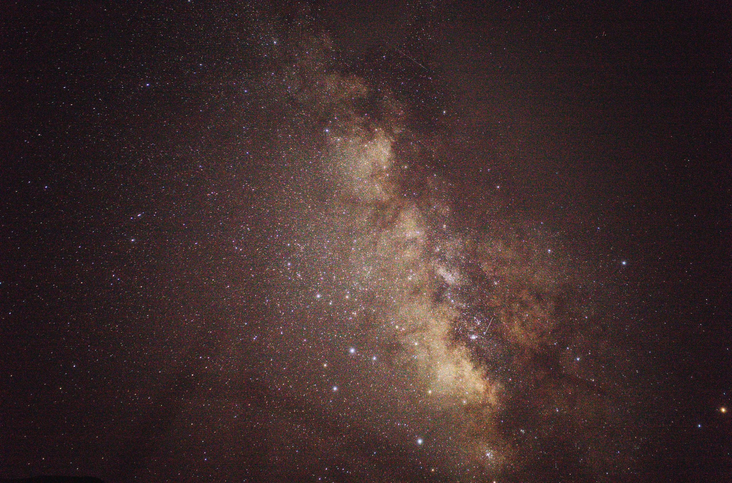
This didn’t stop them from inviting me to their home to share their food, expecting nothing in return. Sometimes I was even offered a bed for the night, but I enjoy my own four (tent-) walls, especially with the clear night skies you get up here.
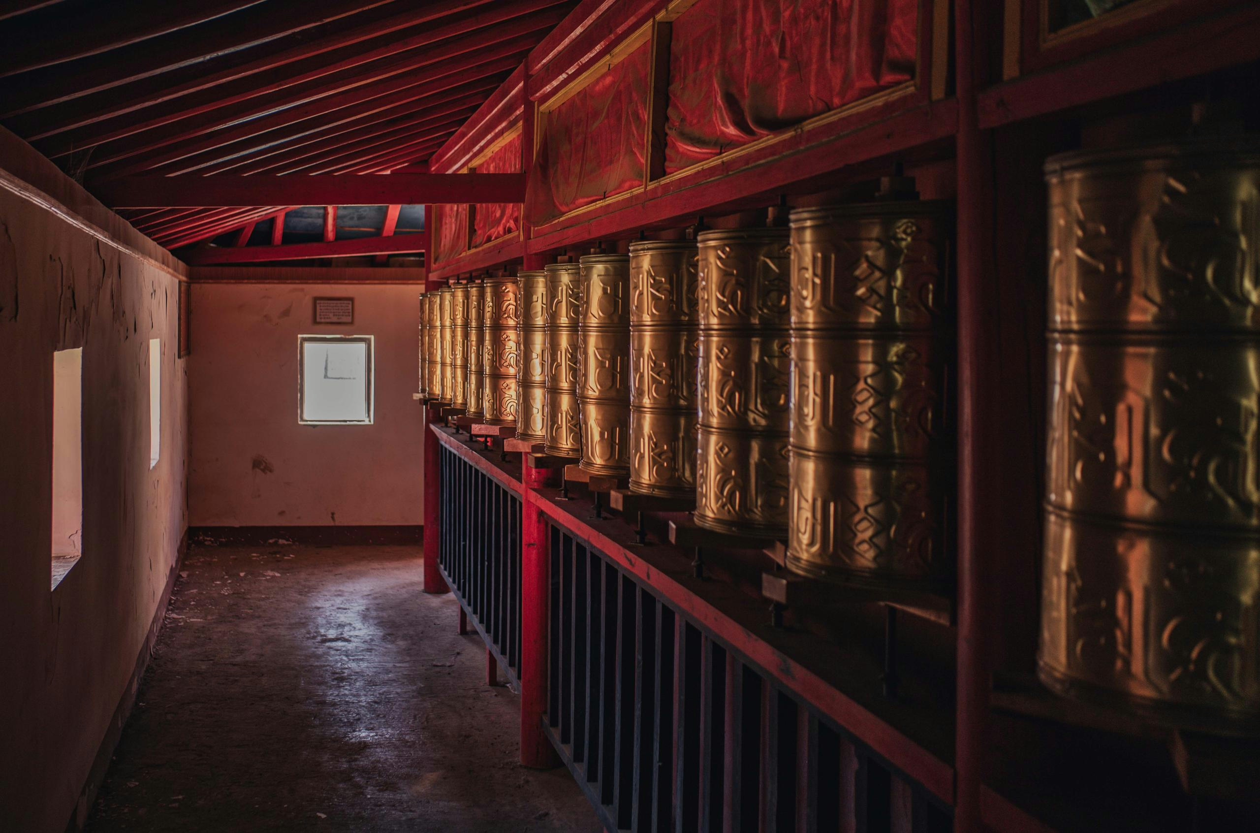
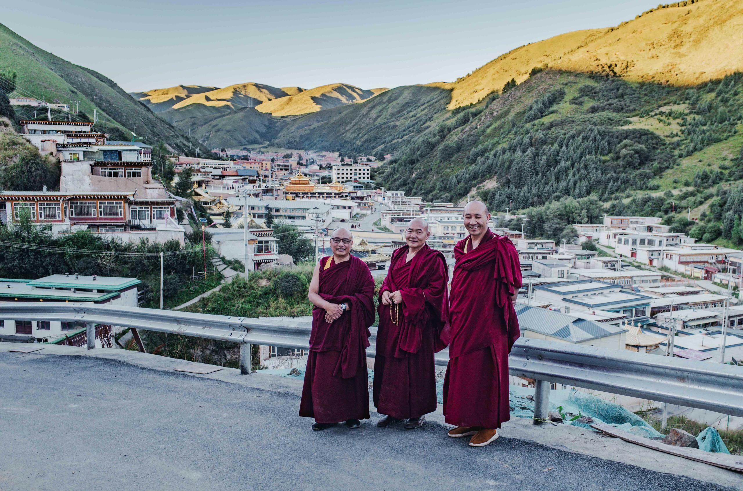
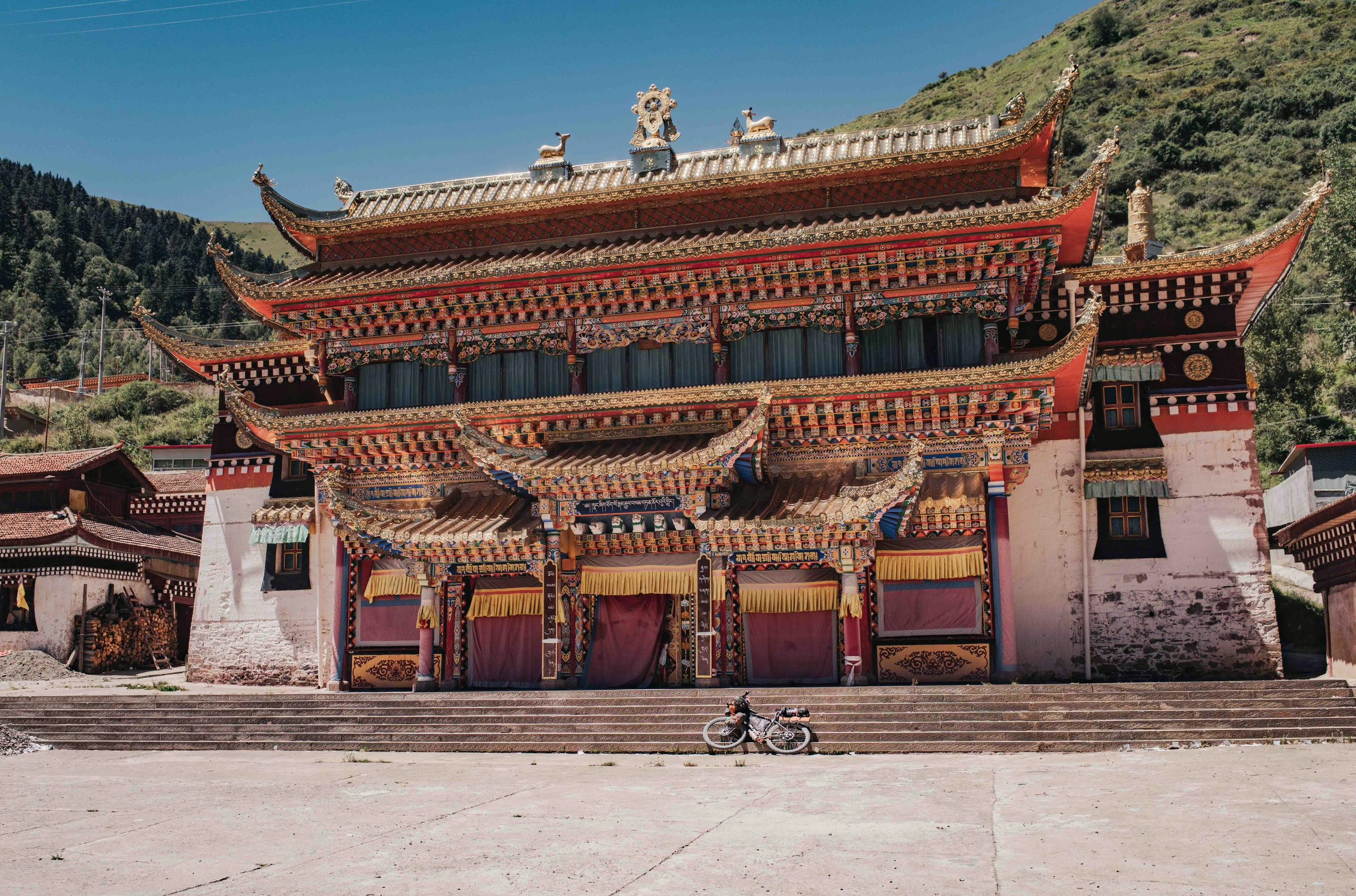
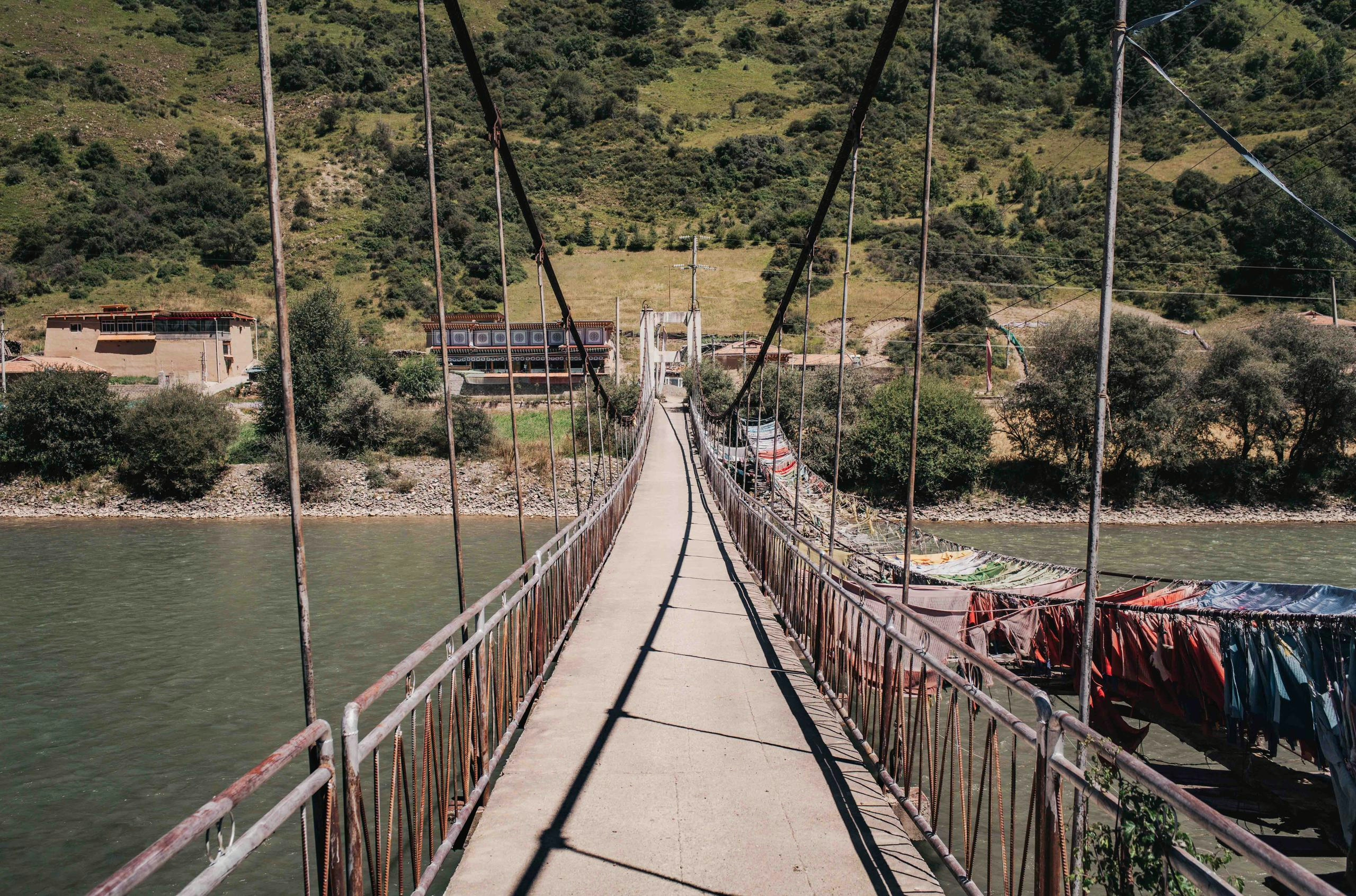
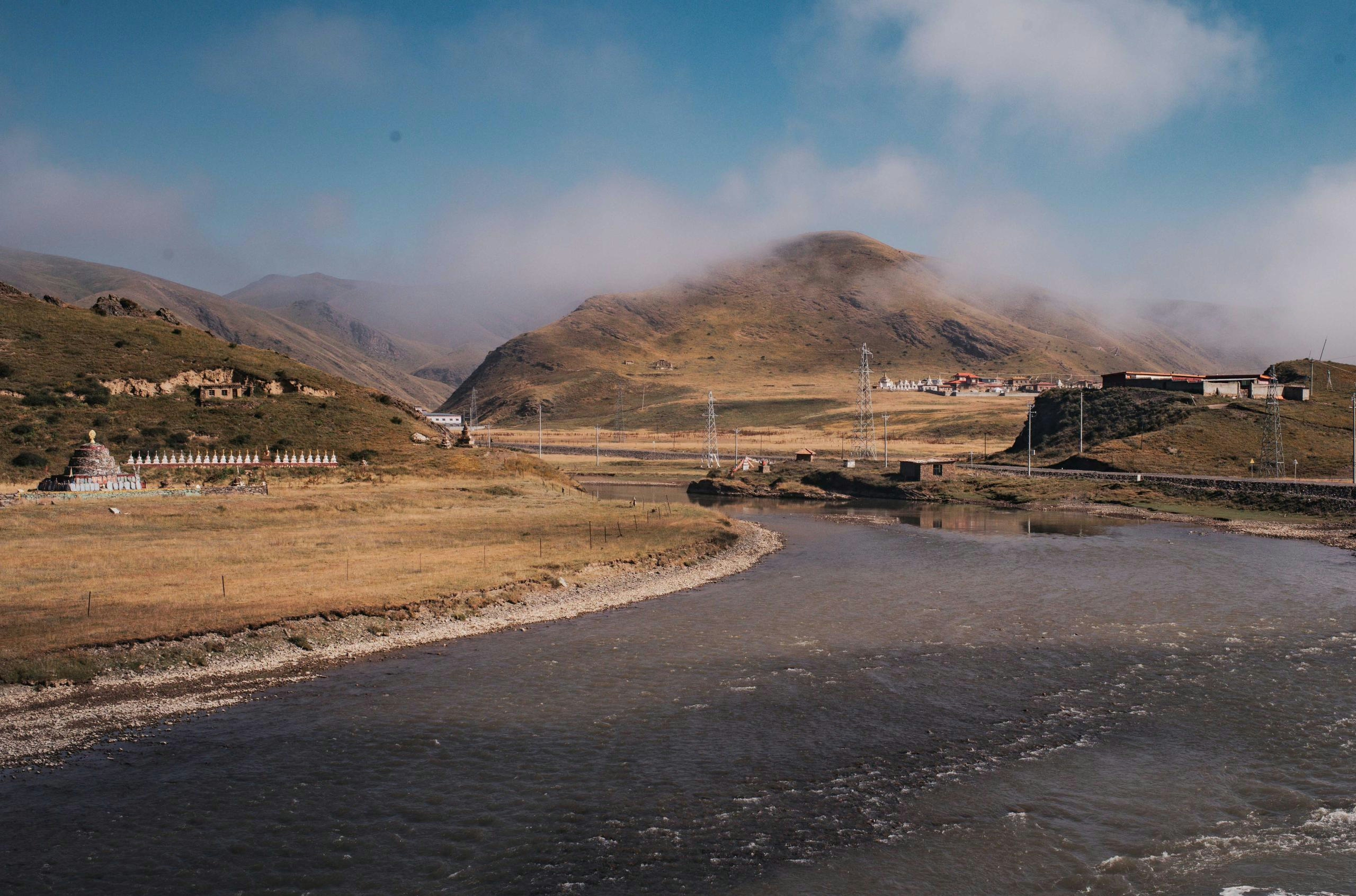
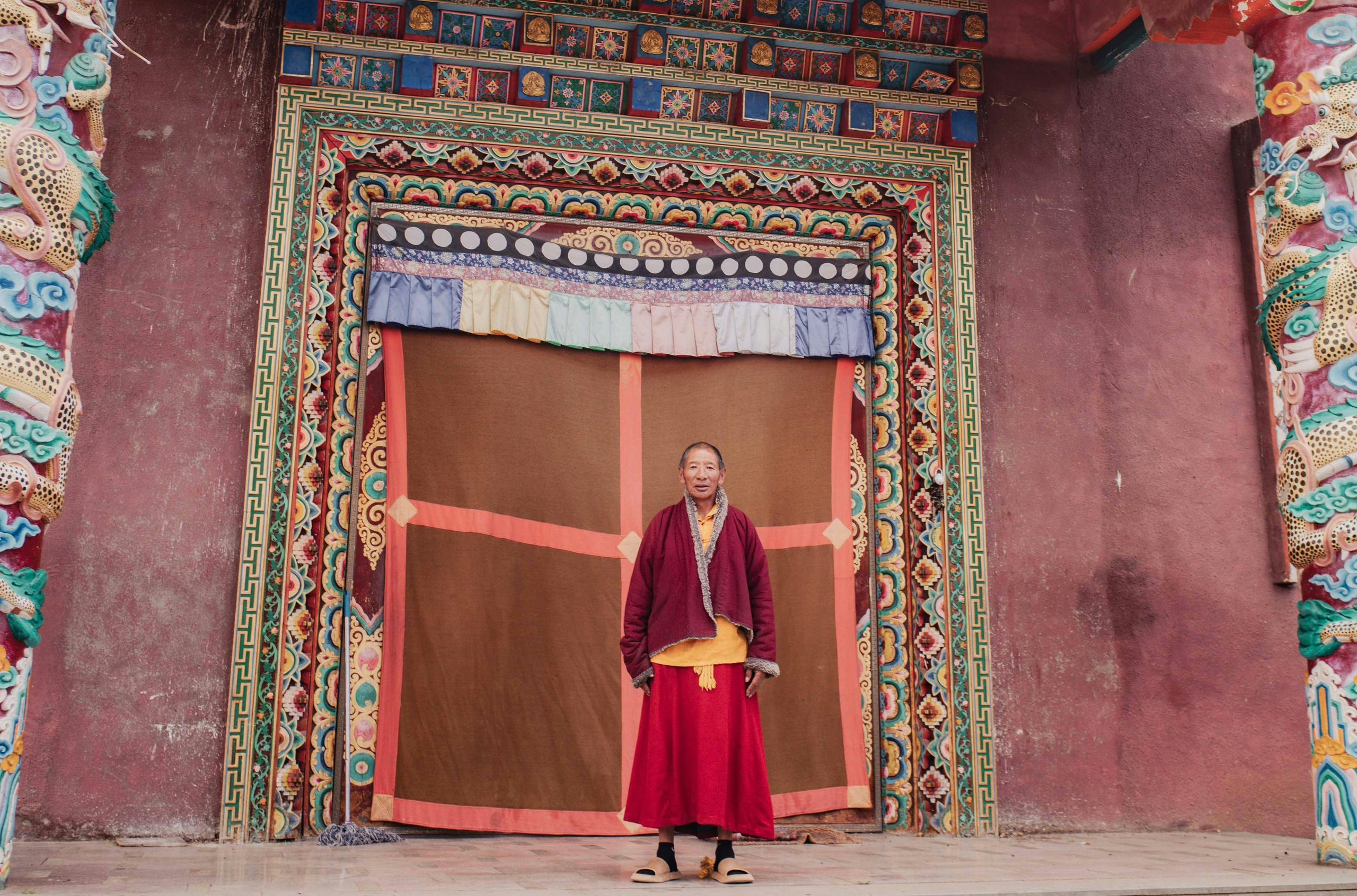
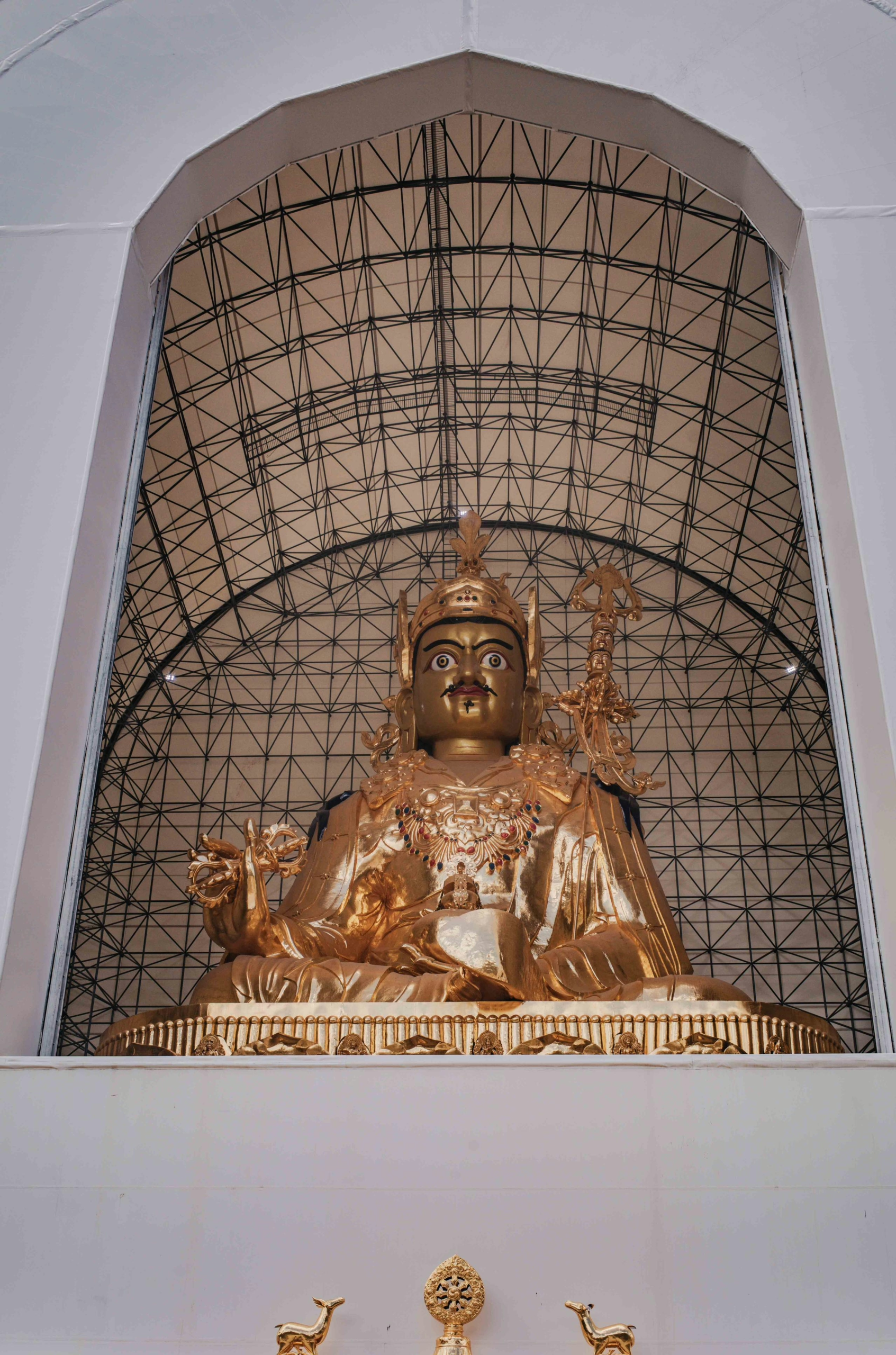
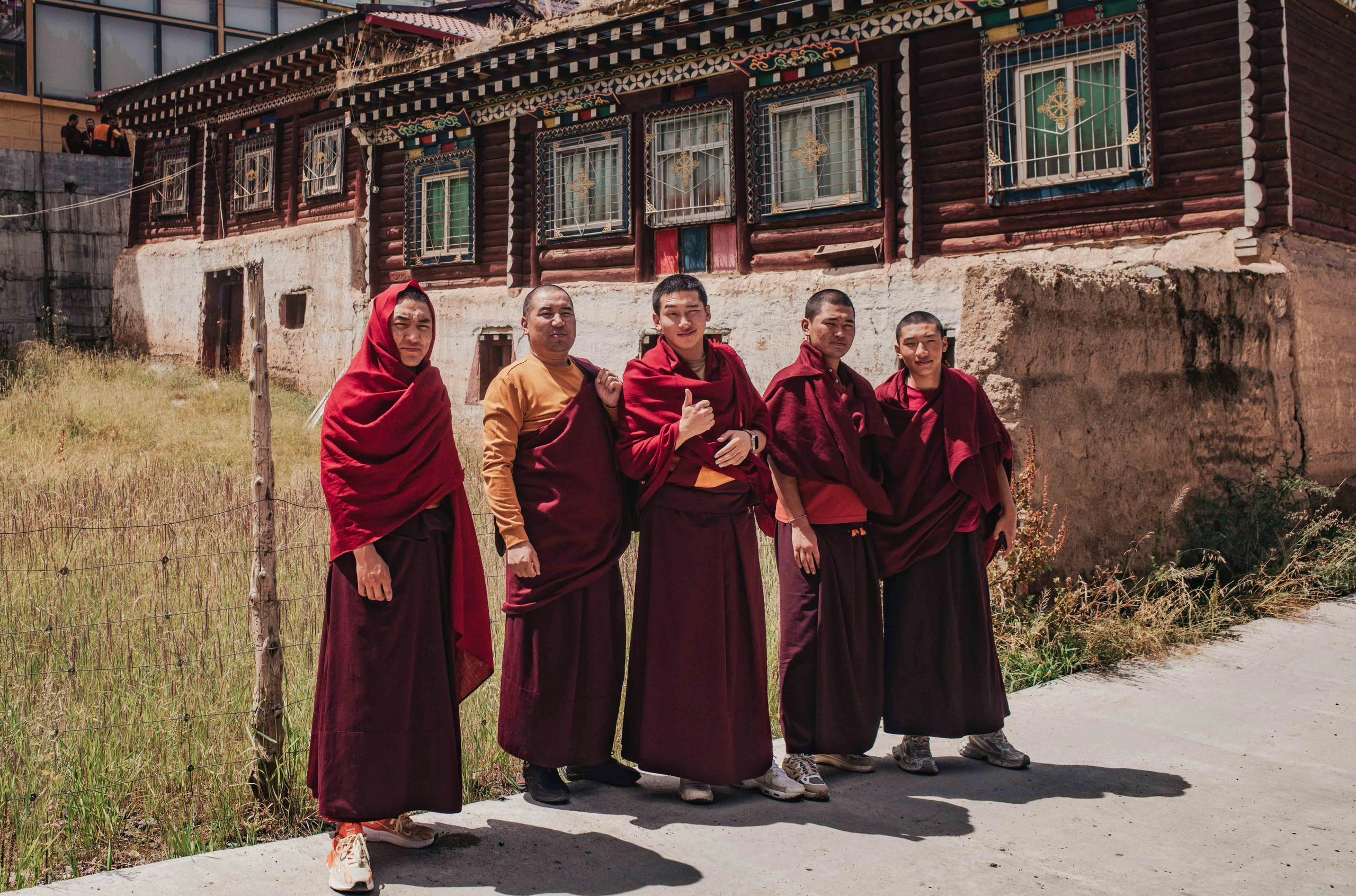
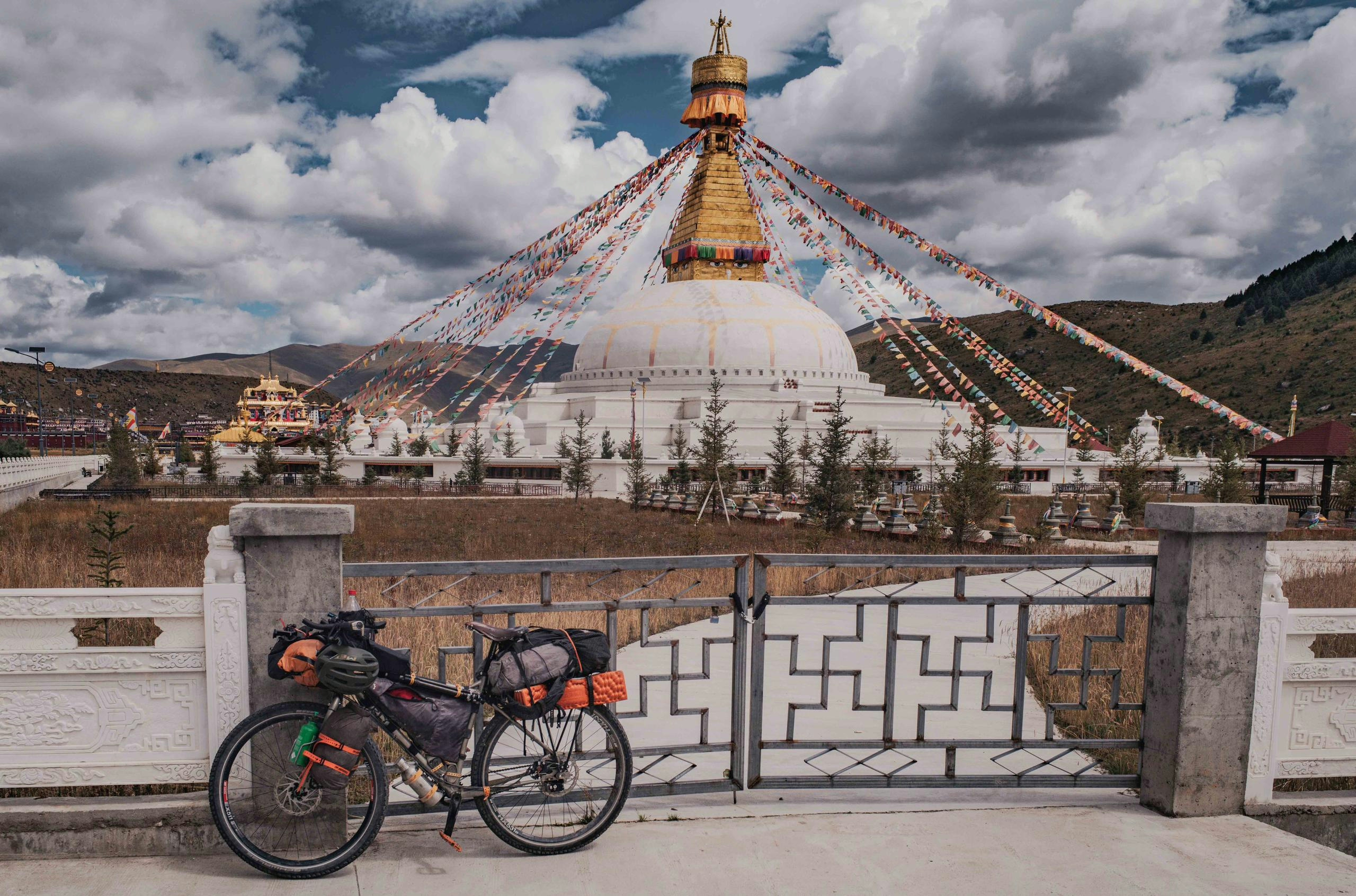
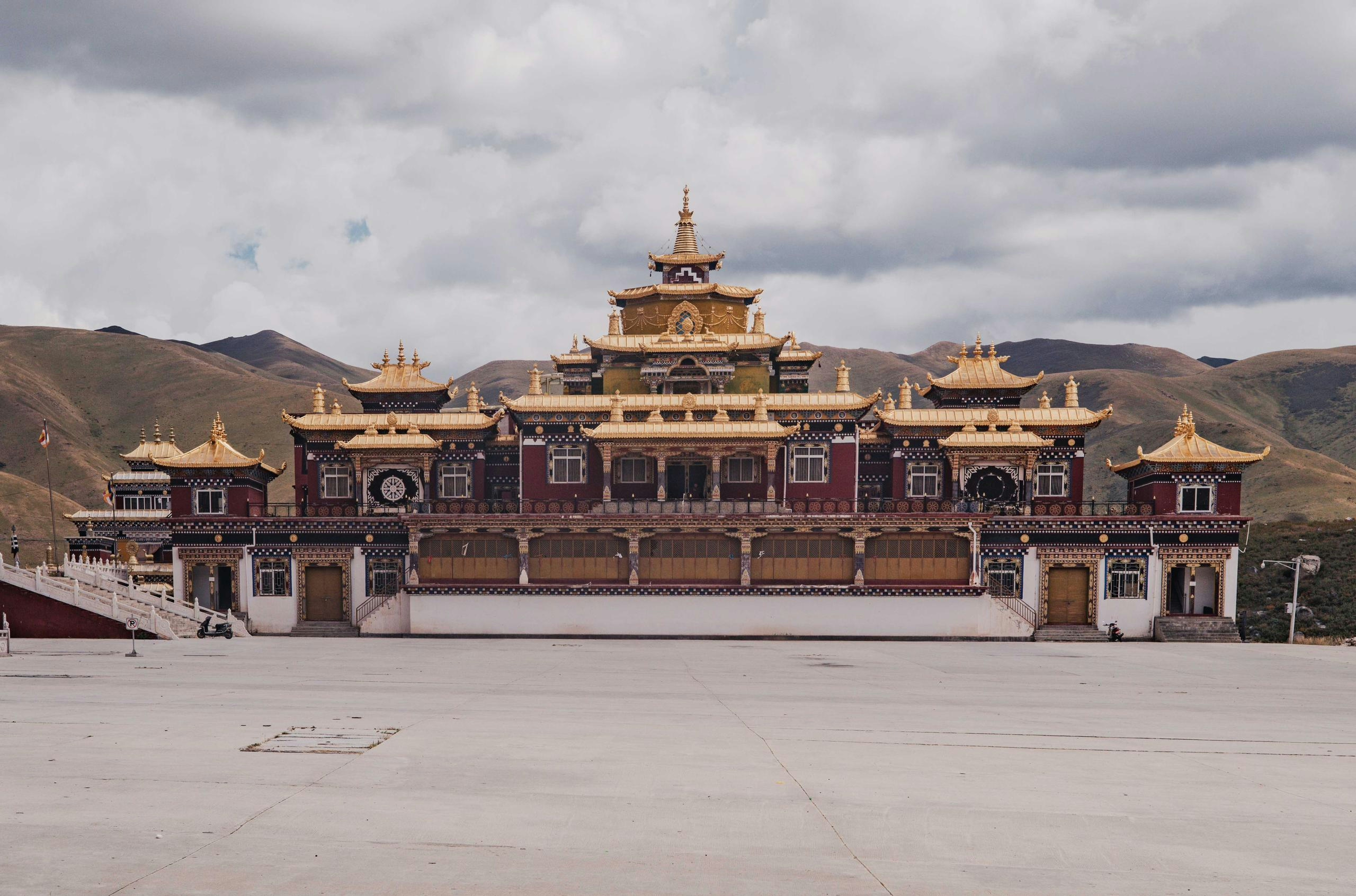
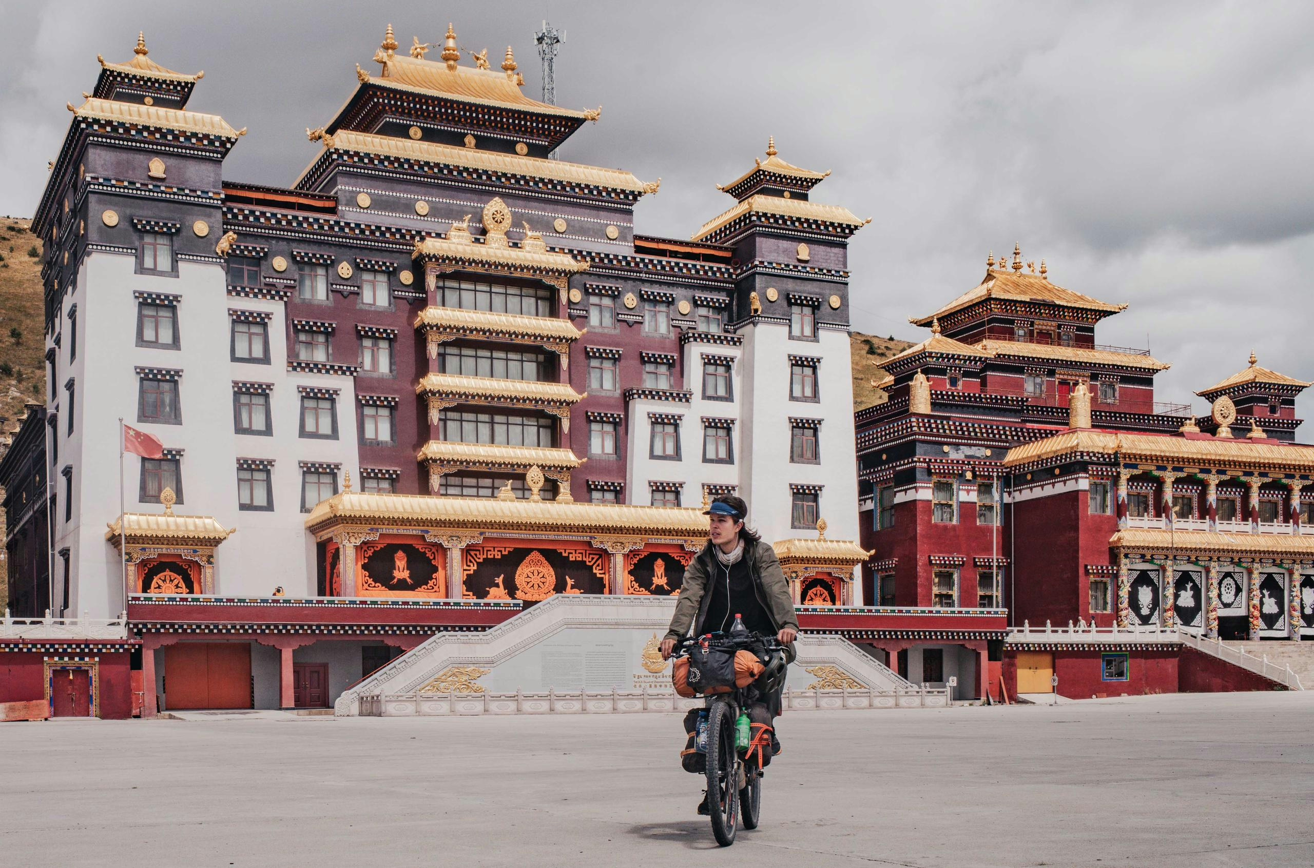
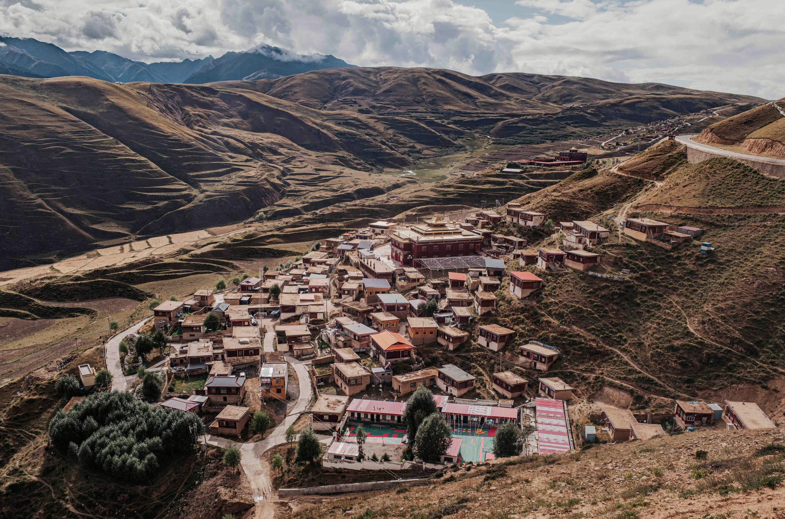
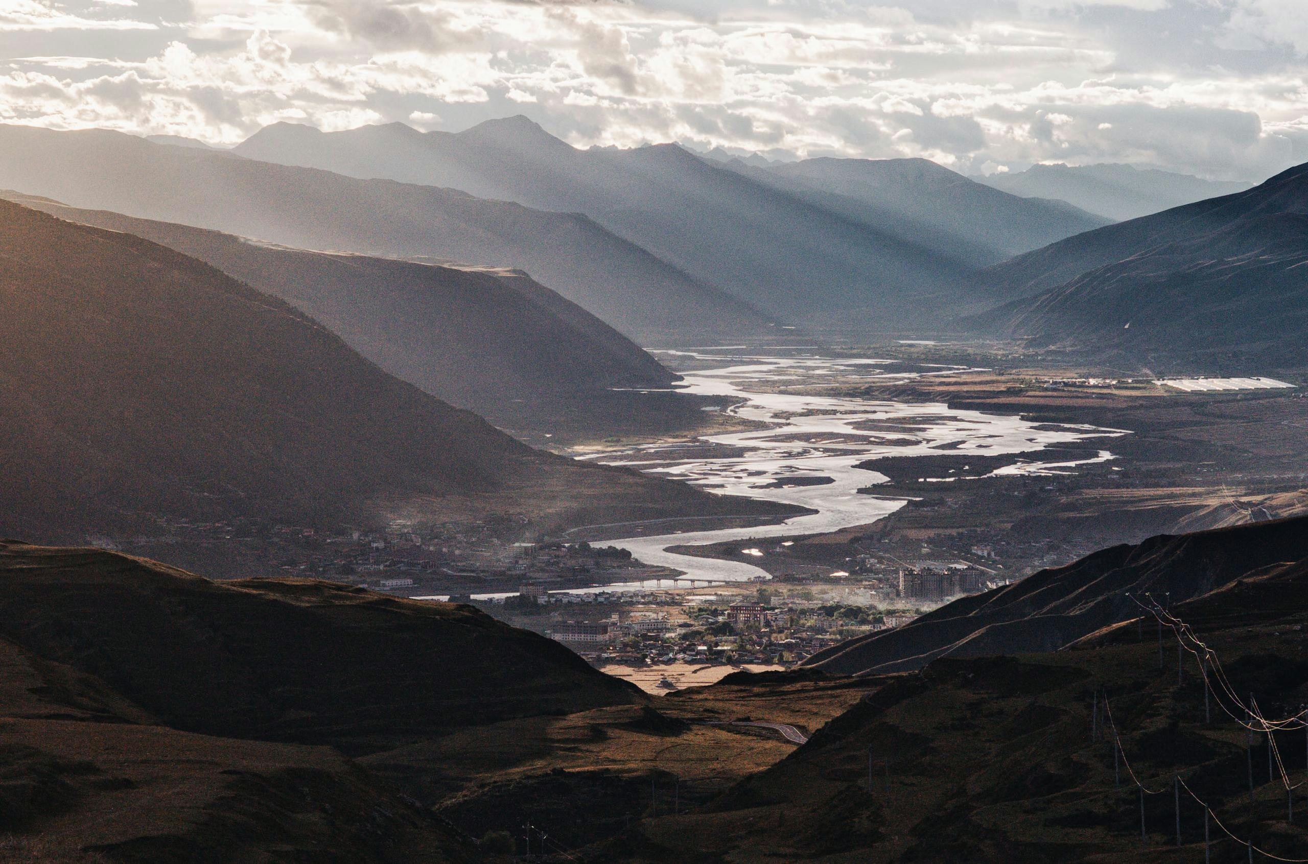
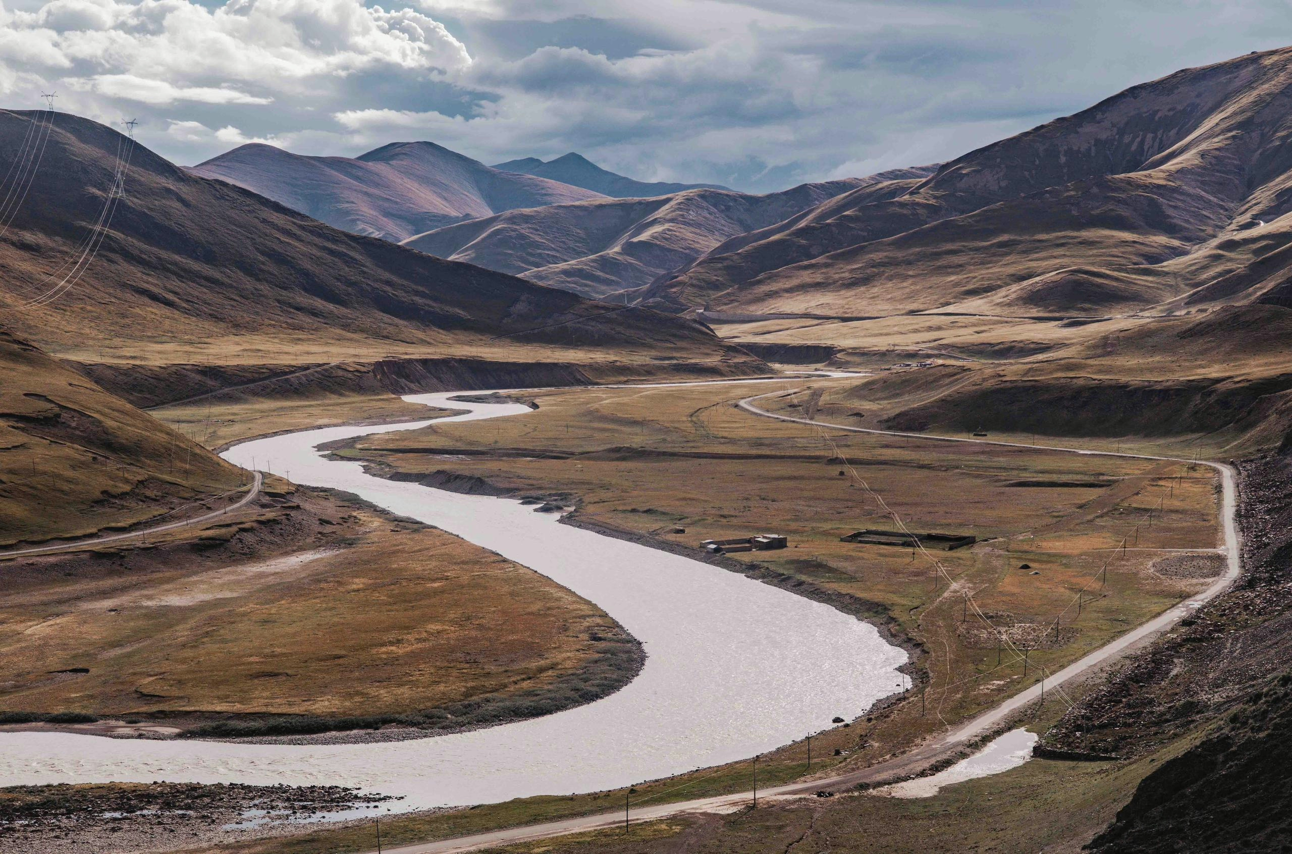
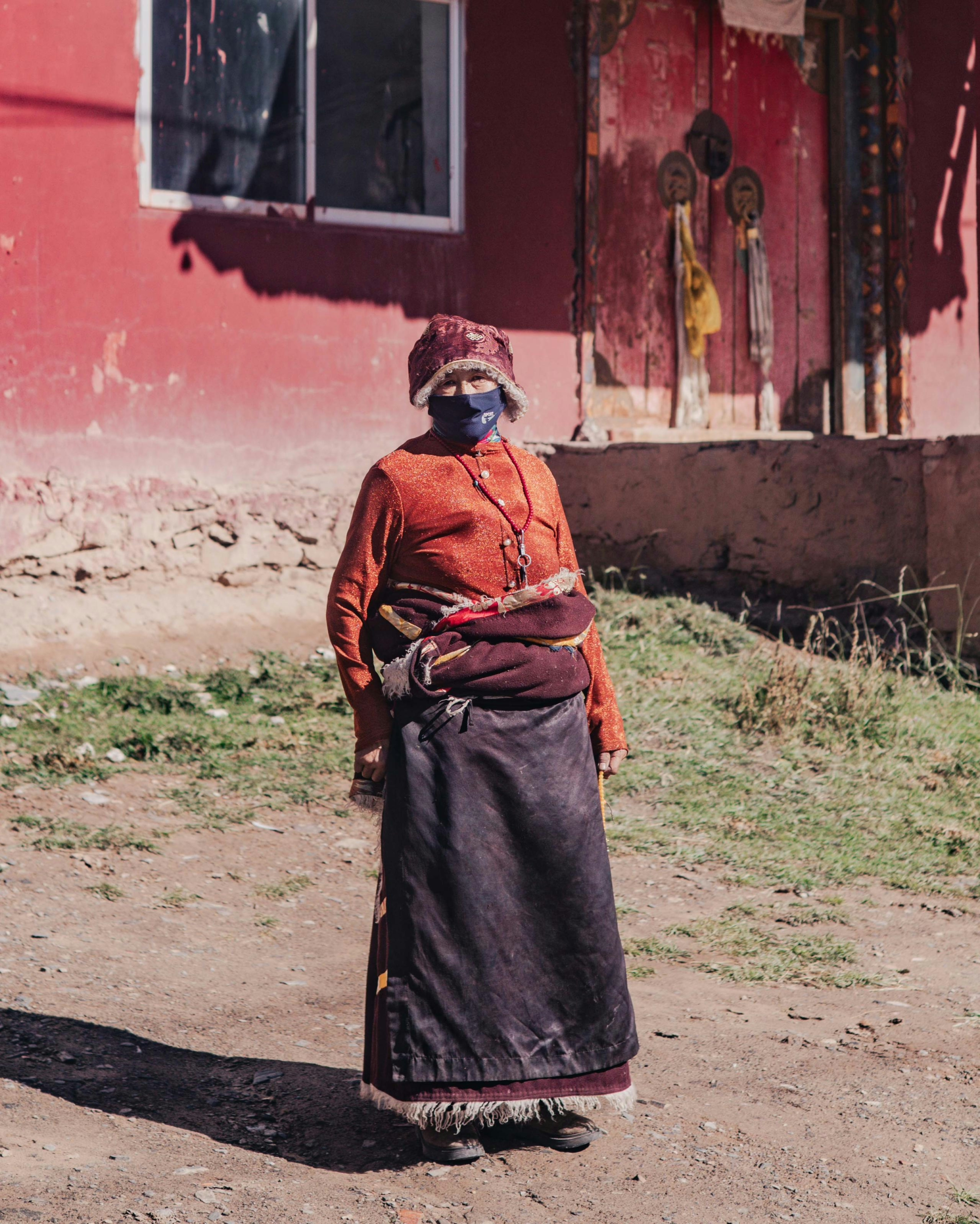
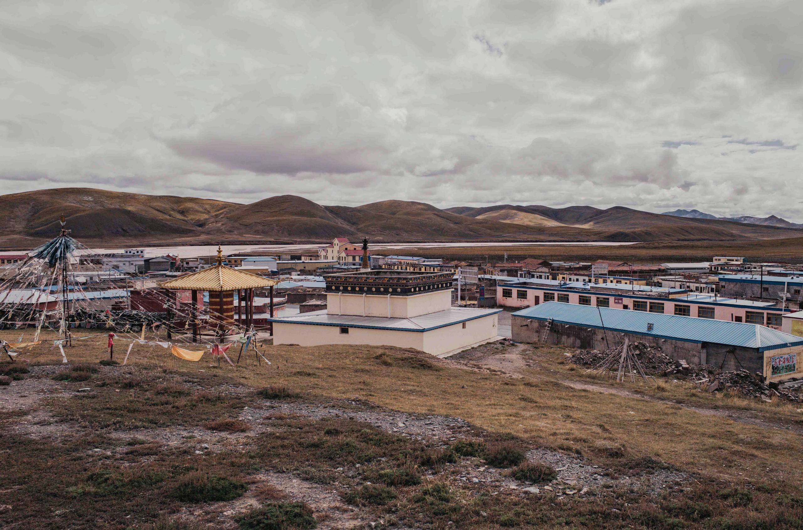
While Buddhist monasteries are typically built at the highest point in a village, the towns themselves are usually located in the valleys as the winters will be less cruel here. In the Yalong river valley, where I dropped back down to 3700m, I came across many tranquil villages boasting beautiful temples, buddha statues, monasteries, where one could wander around for hours. As usual, the monks were very welcoming and happy to pose for a photo, and sometimes even requested a selfie themselves.
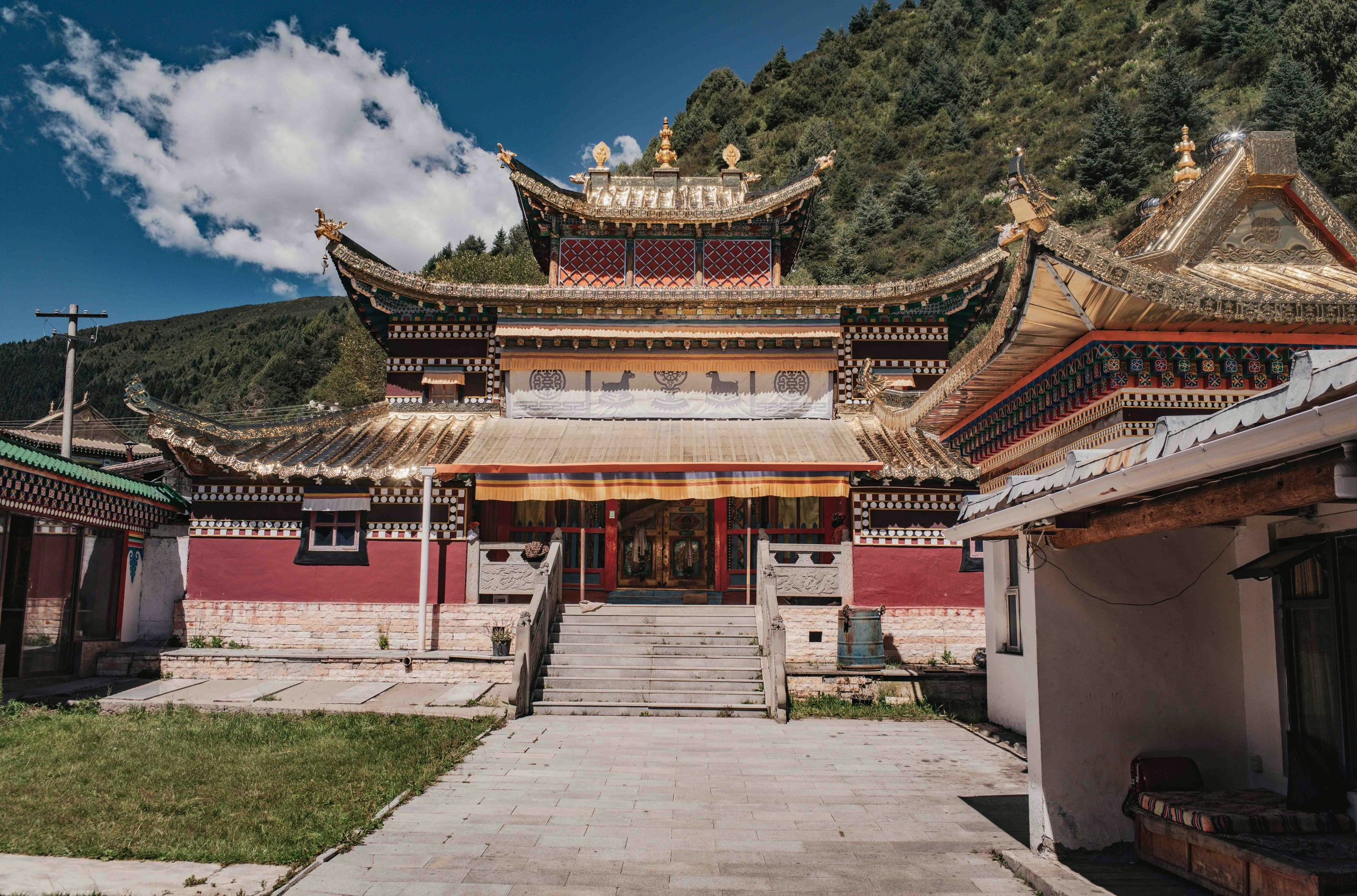
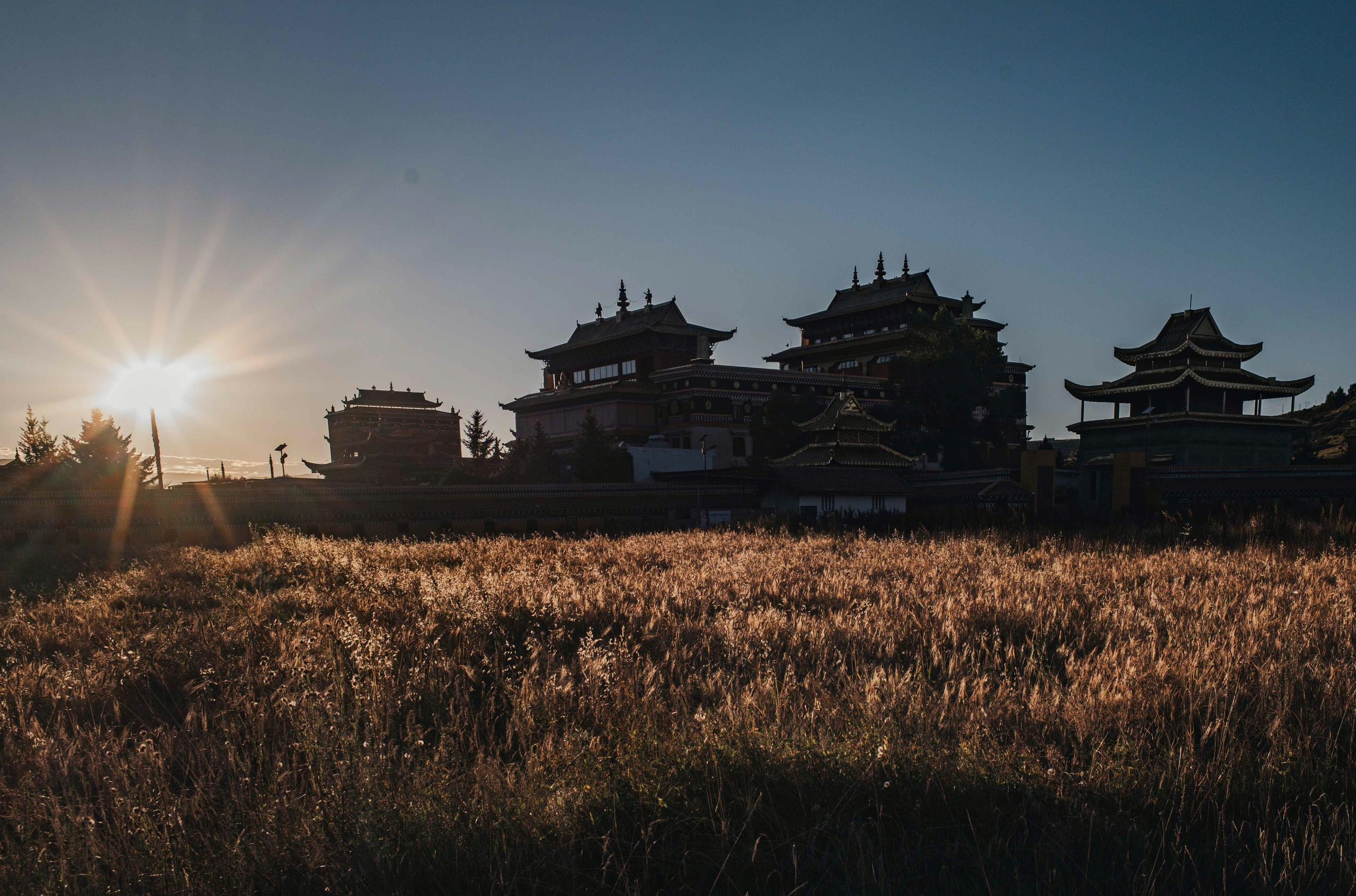
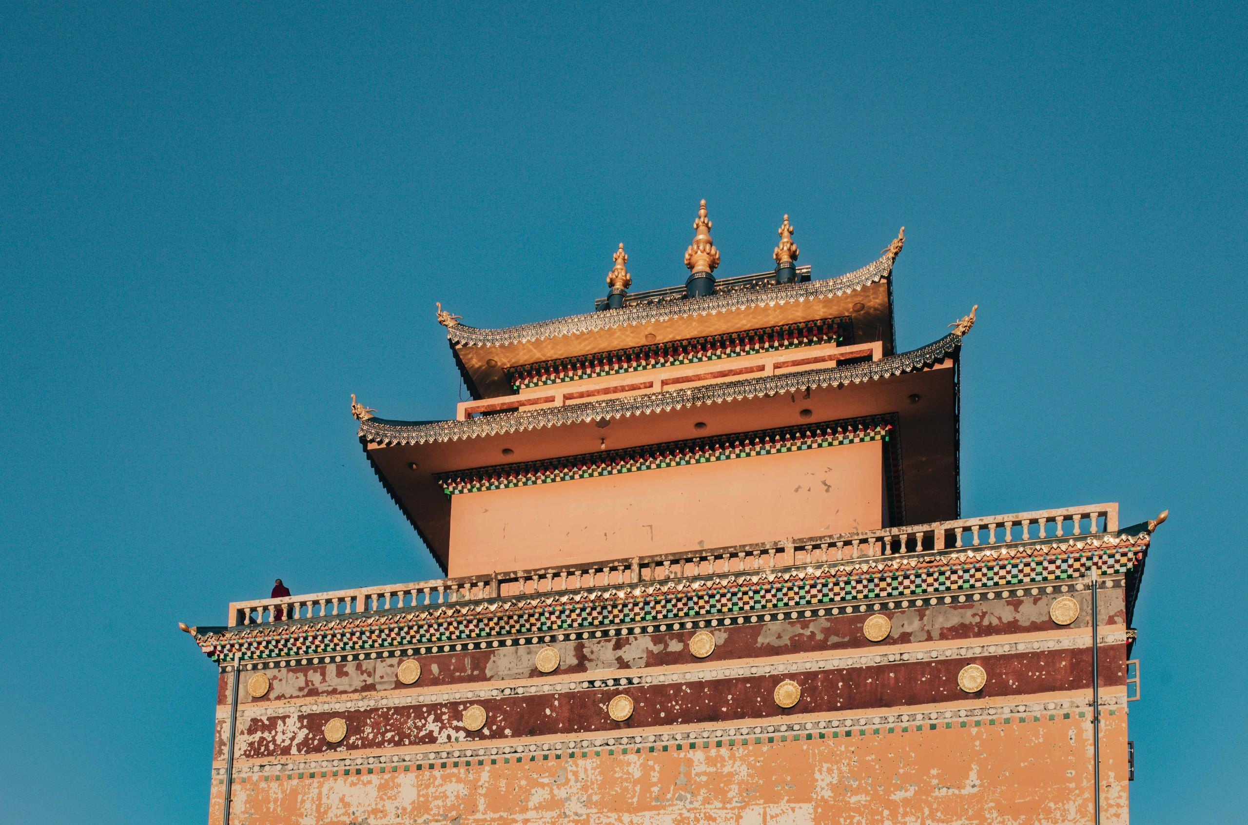
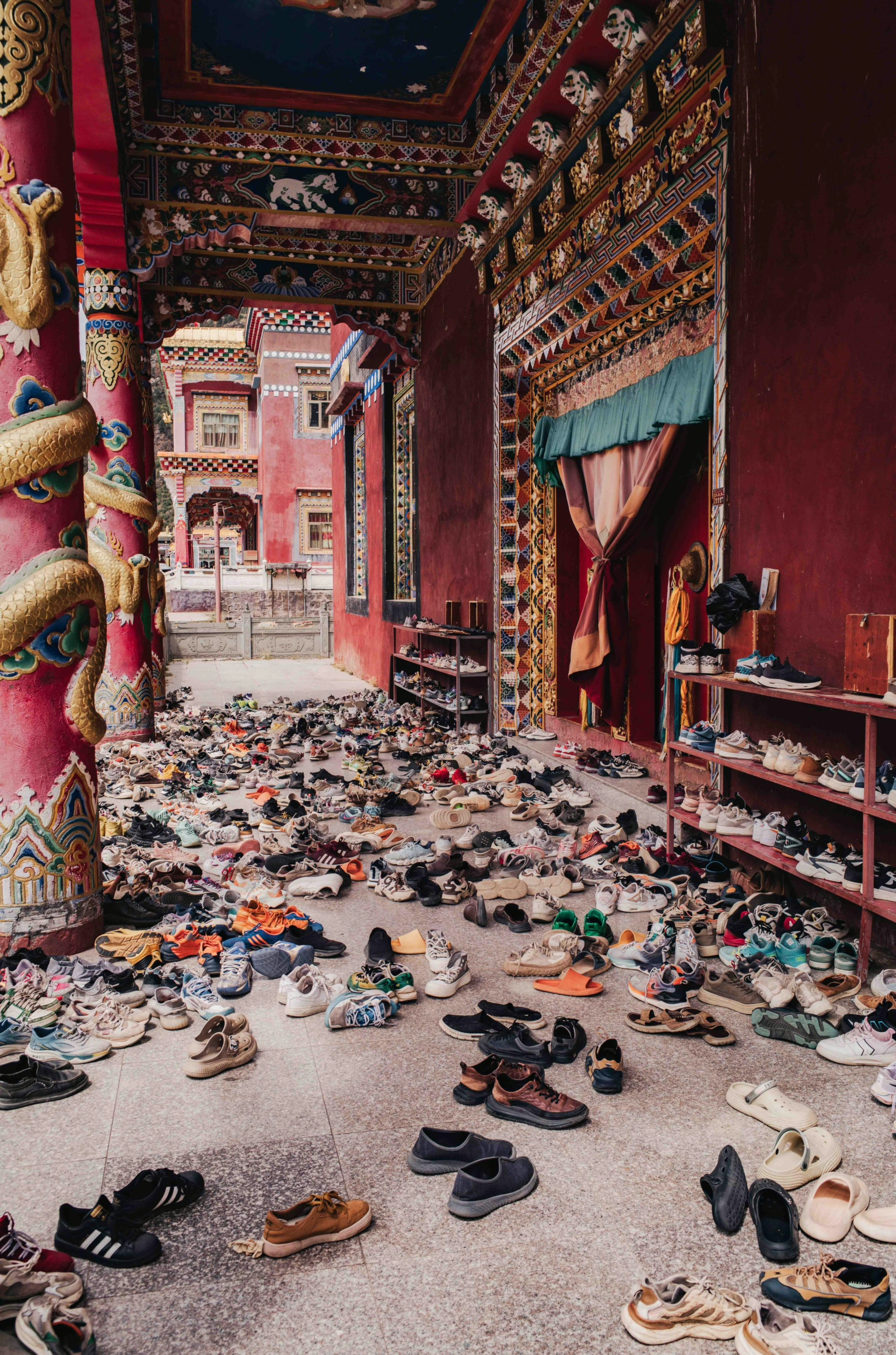
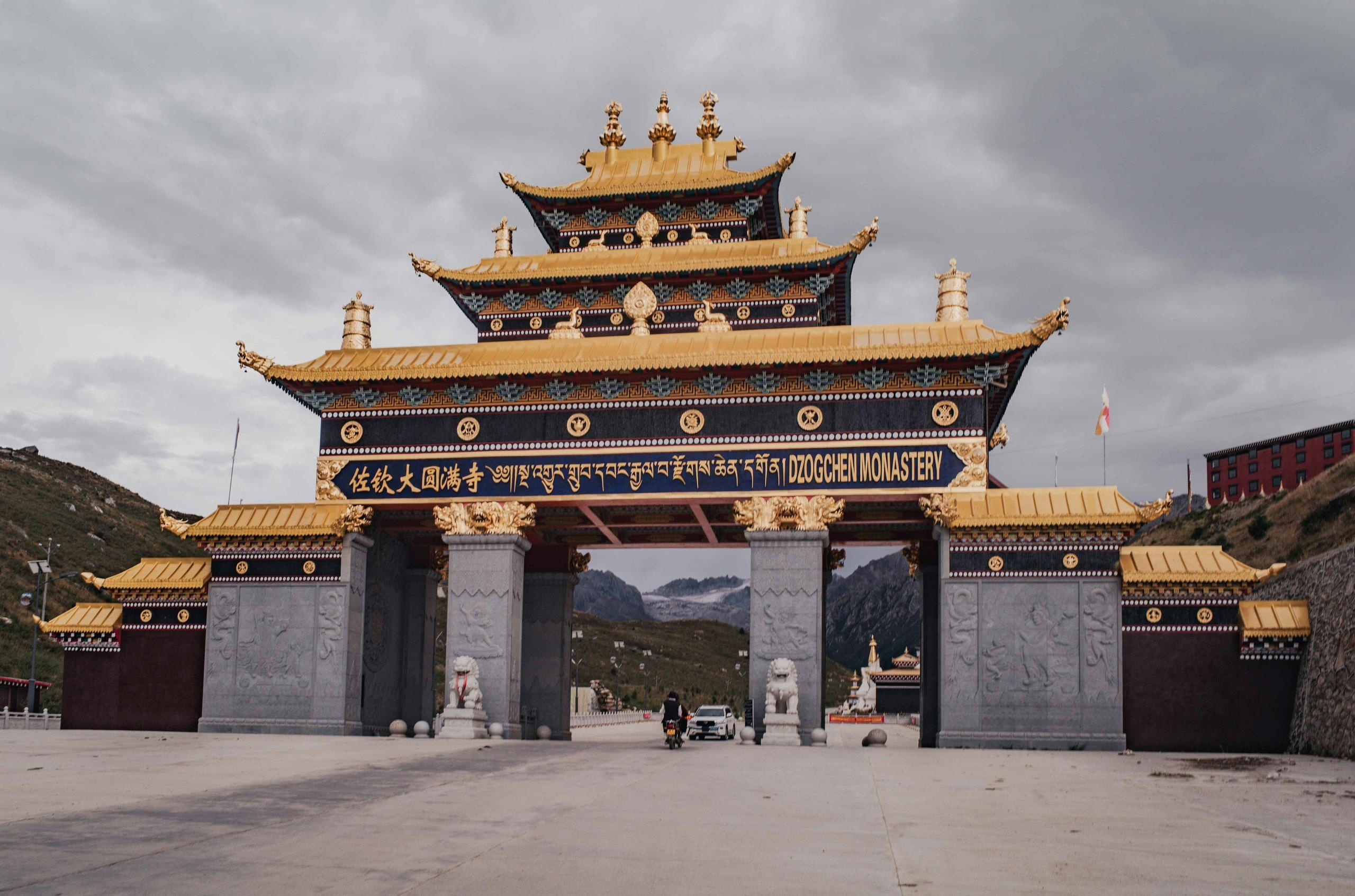
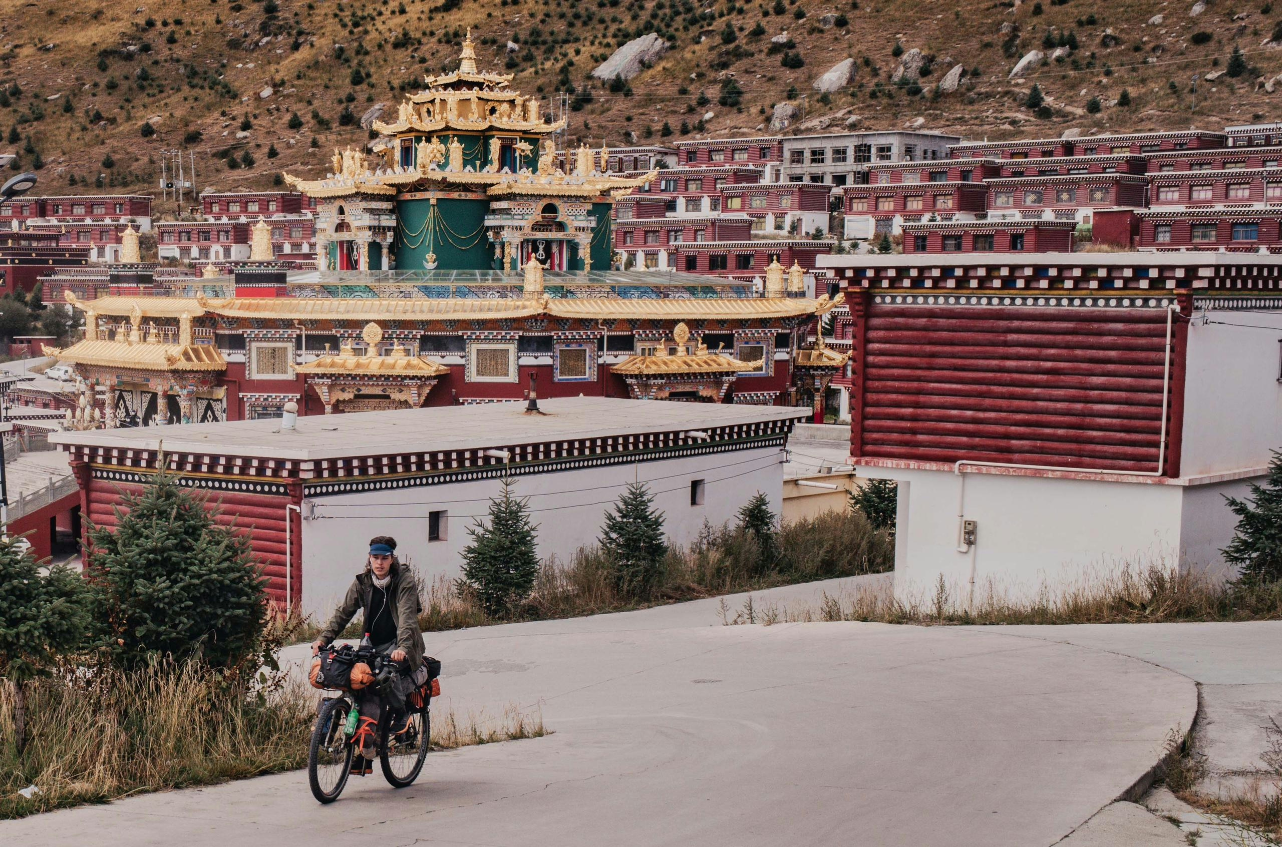
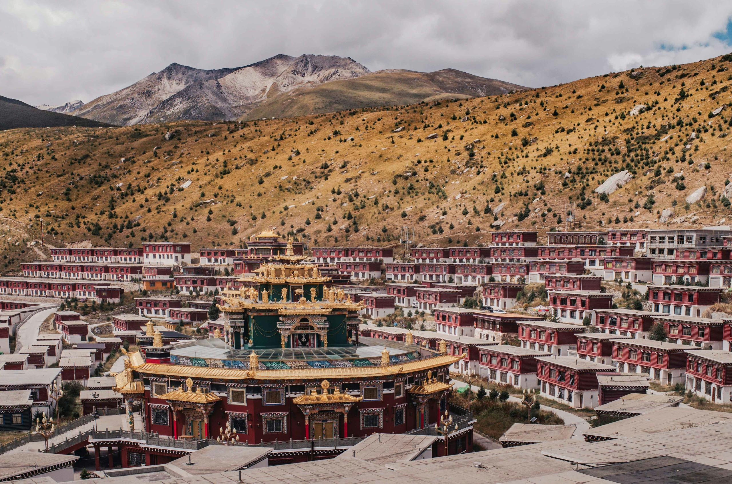
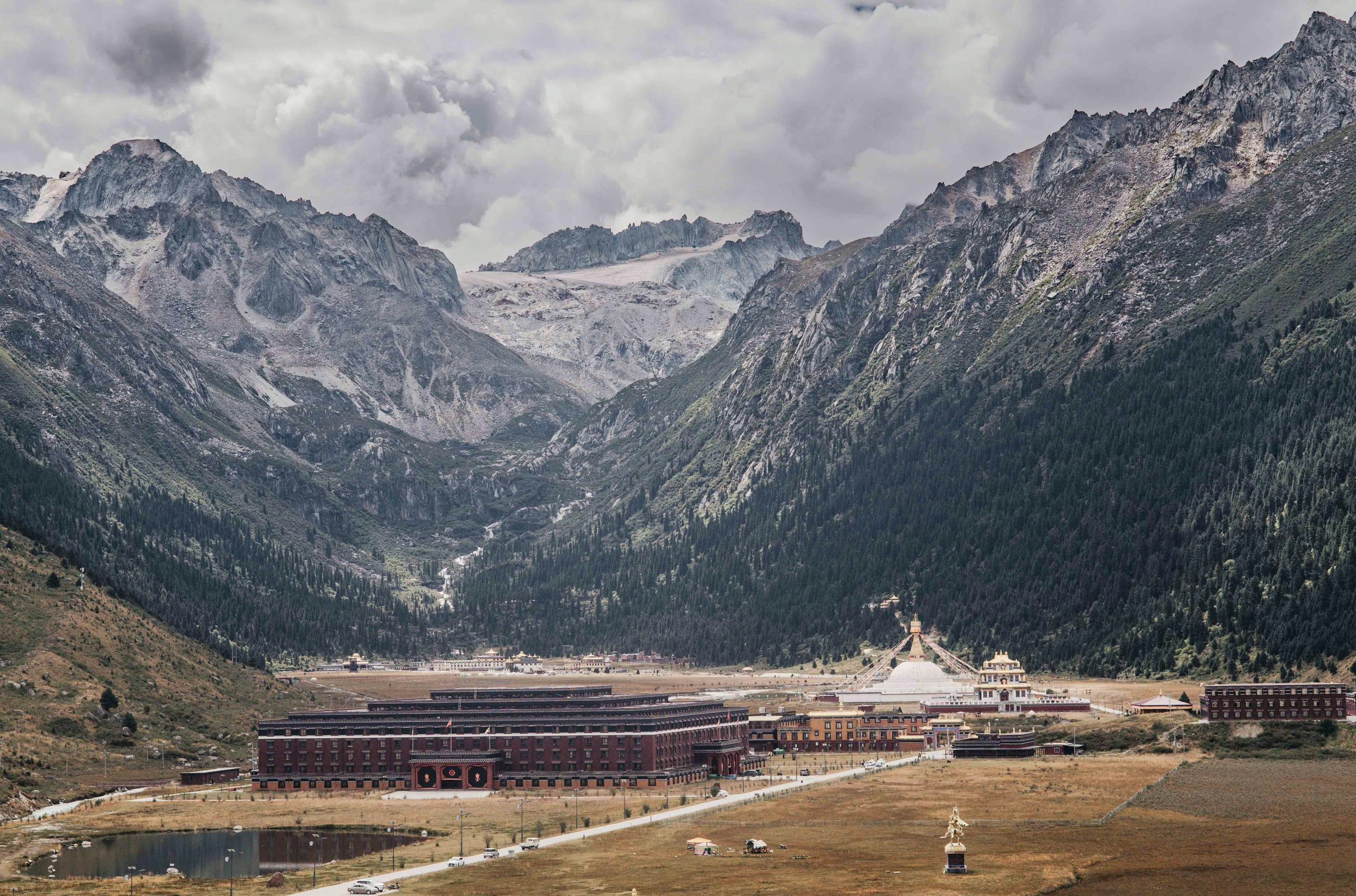
The Dzogchen Monastery, one of the biggest in the region, is part of the Nyingma tradition, the oldest of the four major Tibetan Buddhism schools. It is located beautifully on a meadow in front of a big mountain with a glacier, adding to the already picturesque red, white & golden architecture.
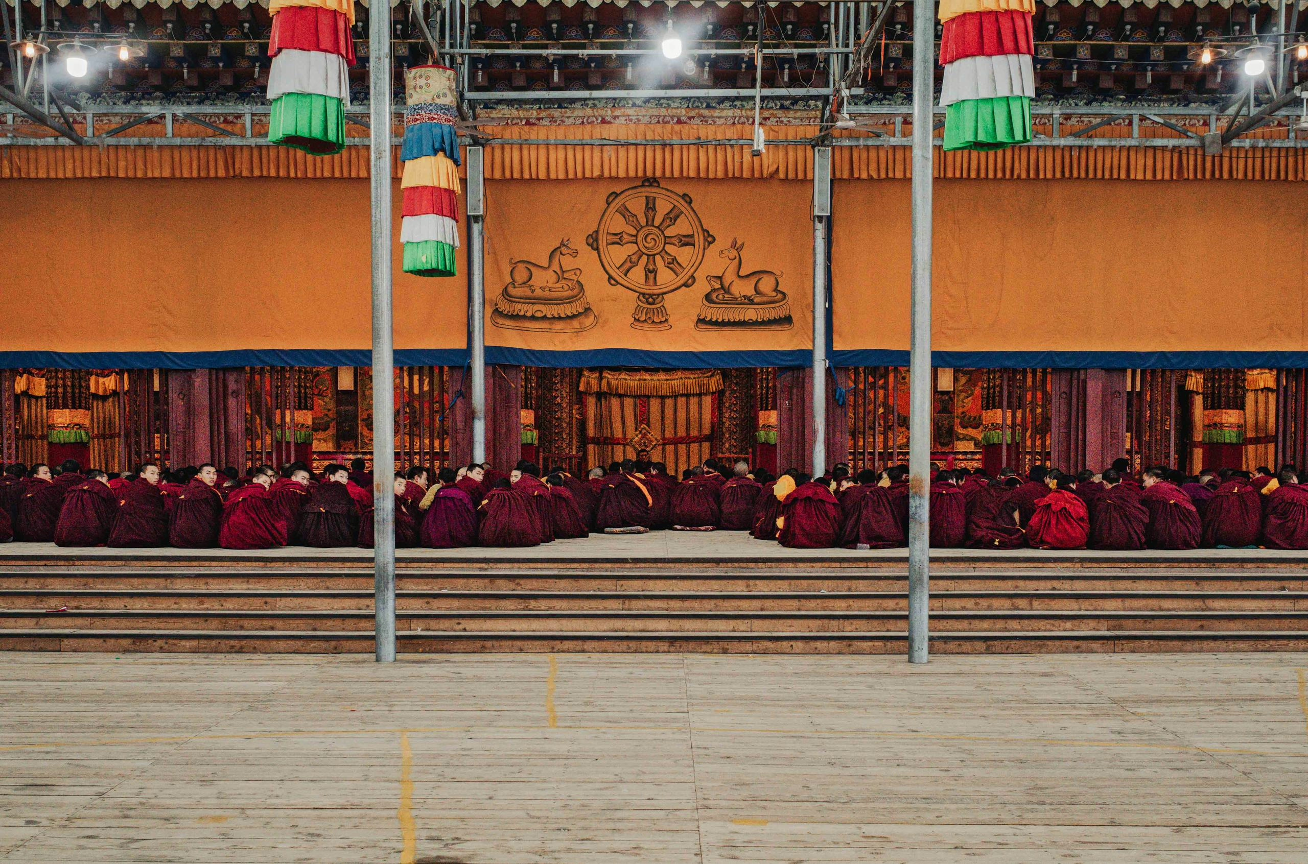
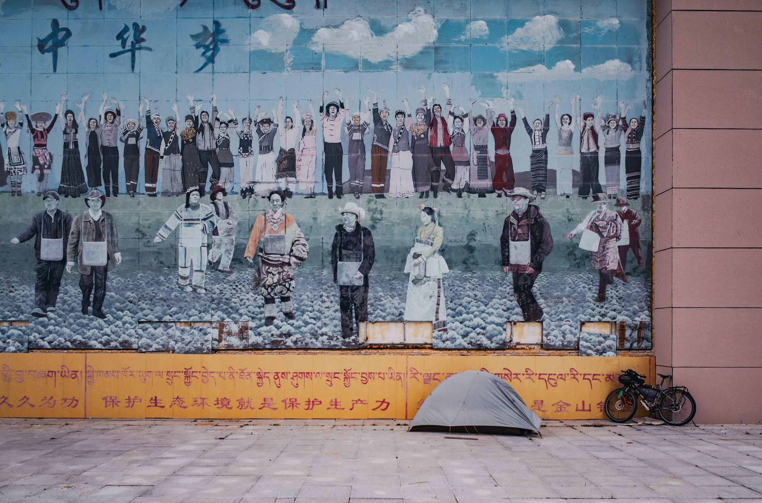
It’s no secret that China and Tibet, in this case the region of Kham, had their differences, to put it nicely. However, unlike the nearby monasteries of Larung Gar and Yarchen Gar, which have faced some trouble with the government in recent years and are currently off-limits for tourists, the Dzogchen Monastery seems to be doing fine, and there is construction going on to further increase its size. Here one can find not just the usual temples and Buddha statues, but also a big Buddhist university, a vegetarian restaurant, or public baths.
I eventually reached Yushu, one of the biggest cities on the Tibetan Plateau. It is quite modern, but the reason is rather tragic: It was hit by a strong earthquake in 2010, causing many buildings to collapse and claiming the lives of almost 3000 people. Despite this tragedy, the locals with the help of the government quickly rebuilt it. Here I extended my visa for an additional month, a procedure that took a few days, so I got to observe this mix of Tibetan tradition with Chinese modernity for a bit. With a new visa sticker in my passport I left the city behind, and it wouldn’t take long before I found myself cycling on remote roads again.
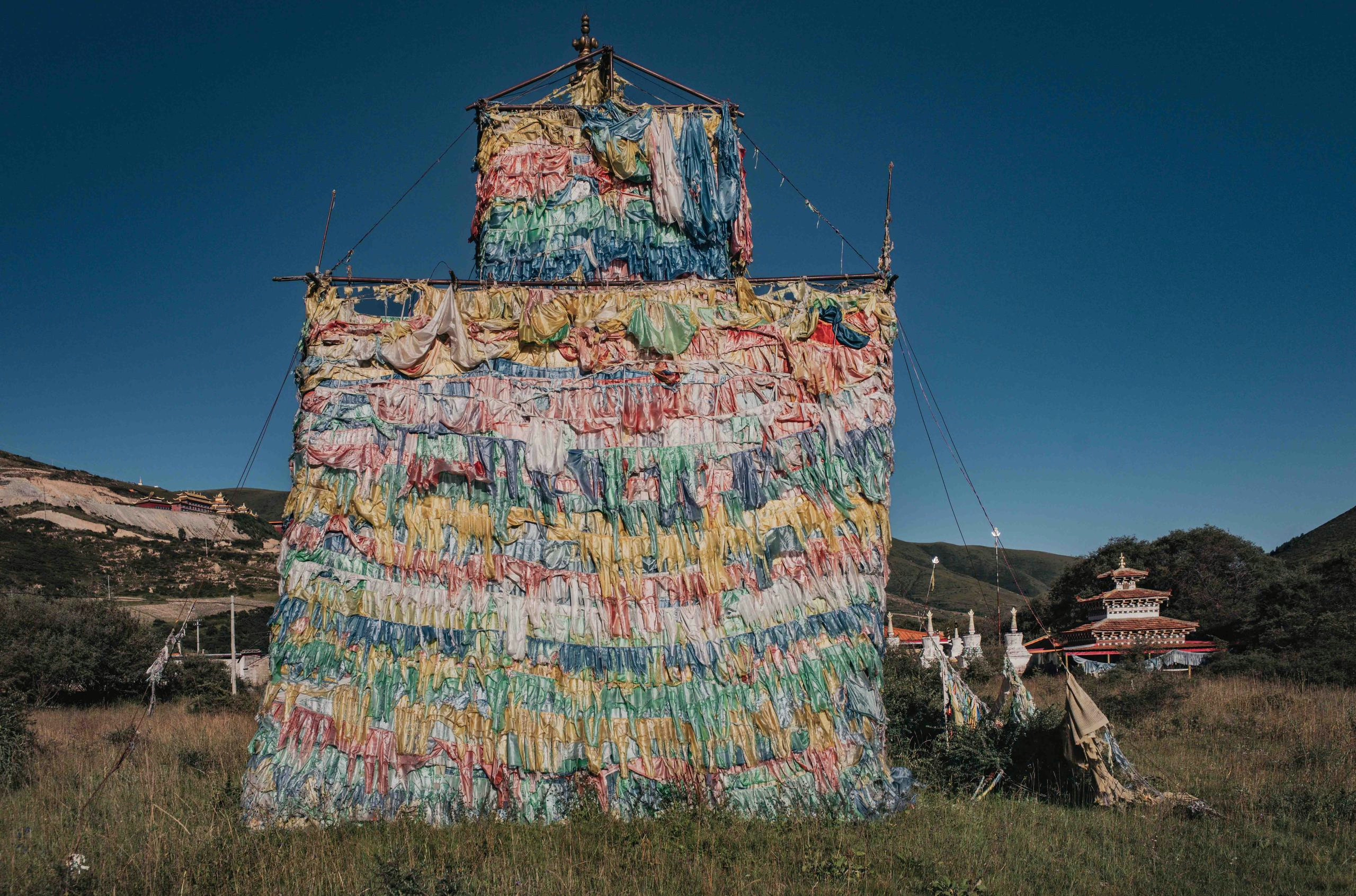
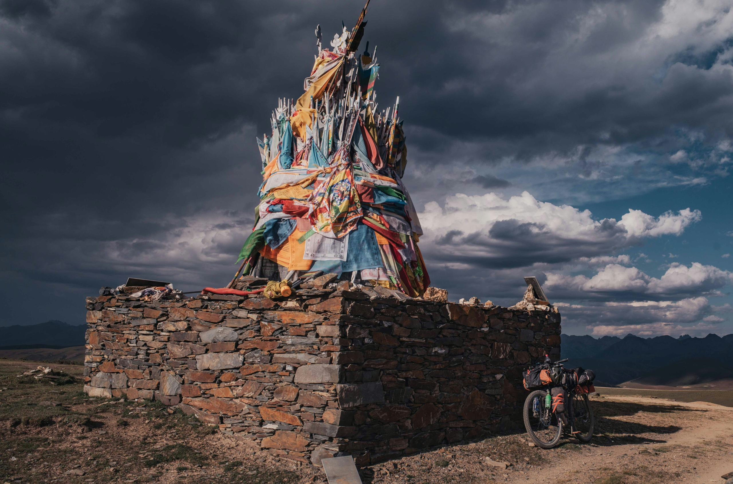
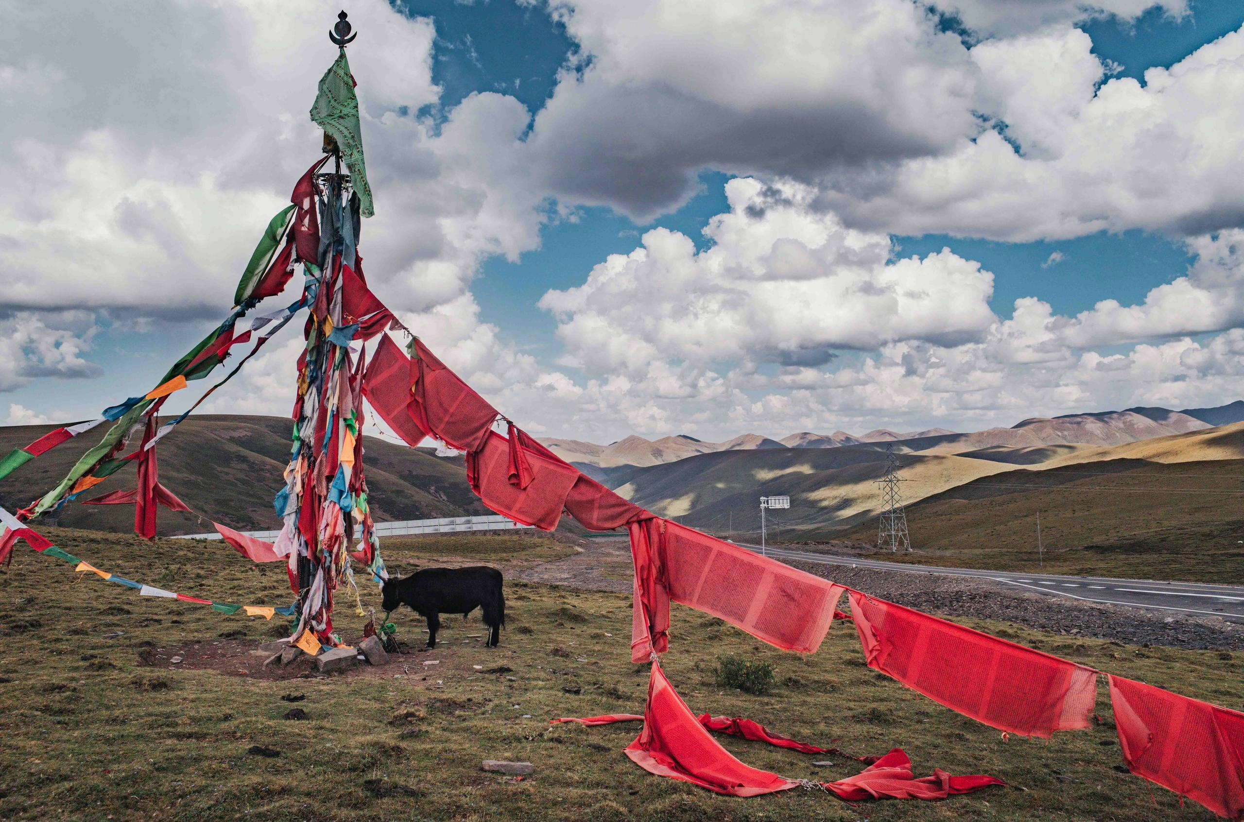
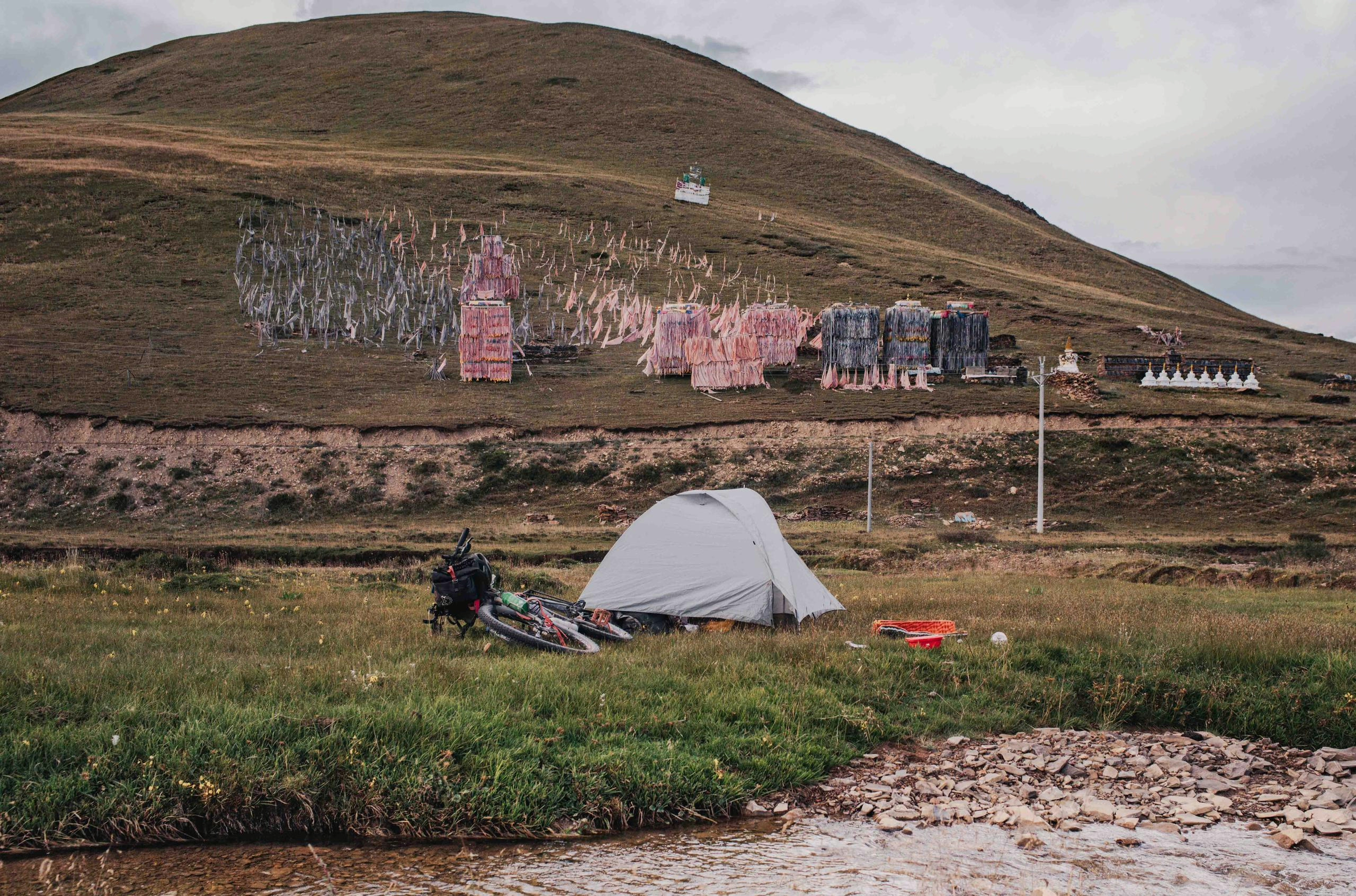
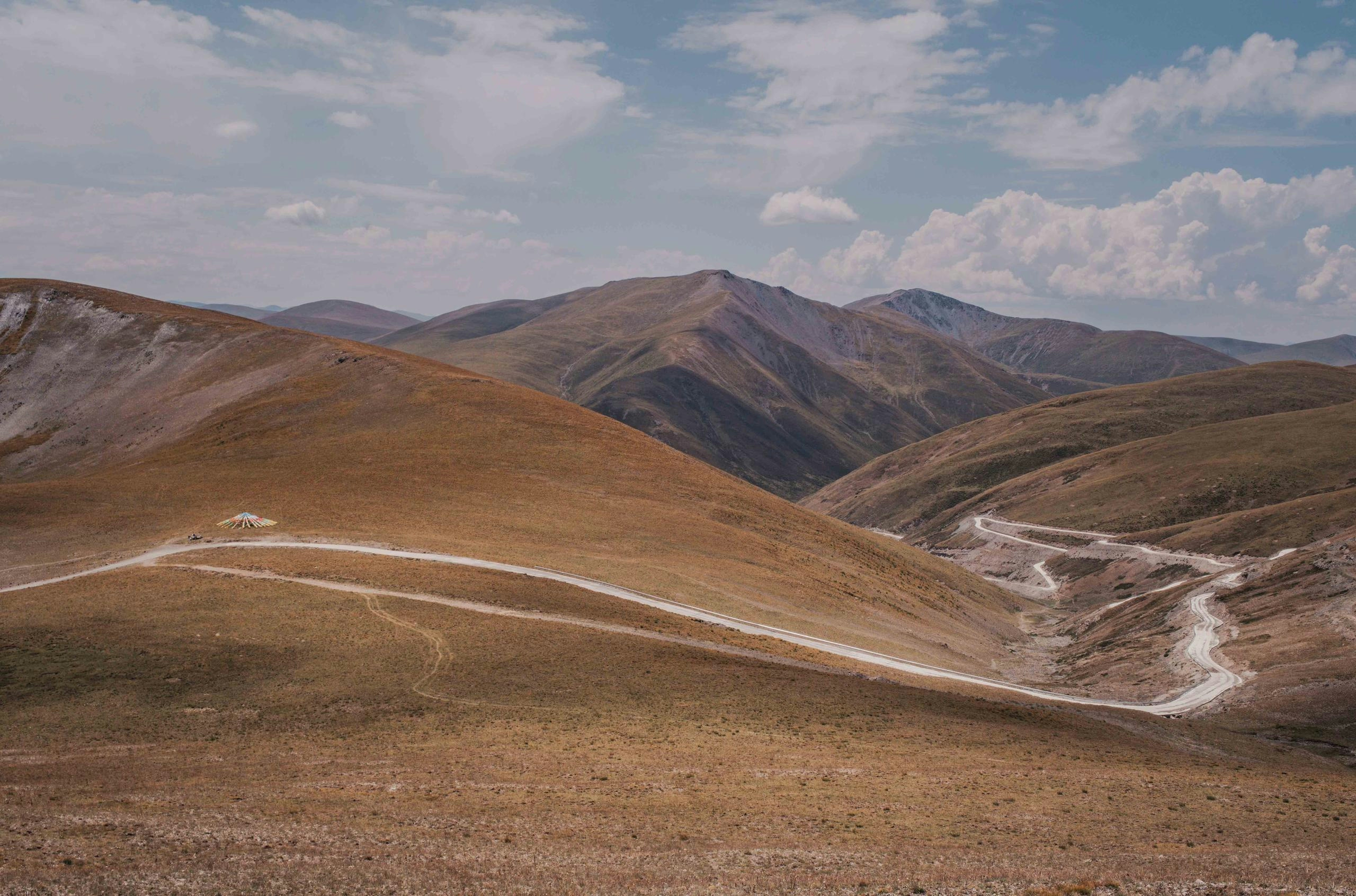
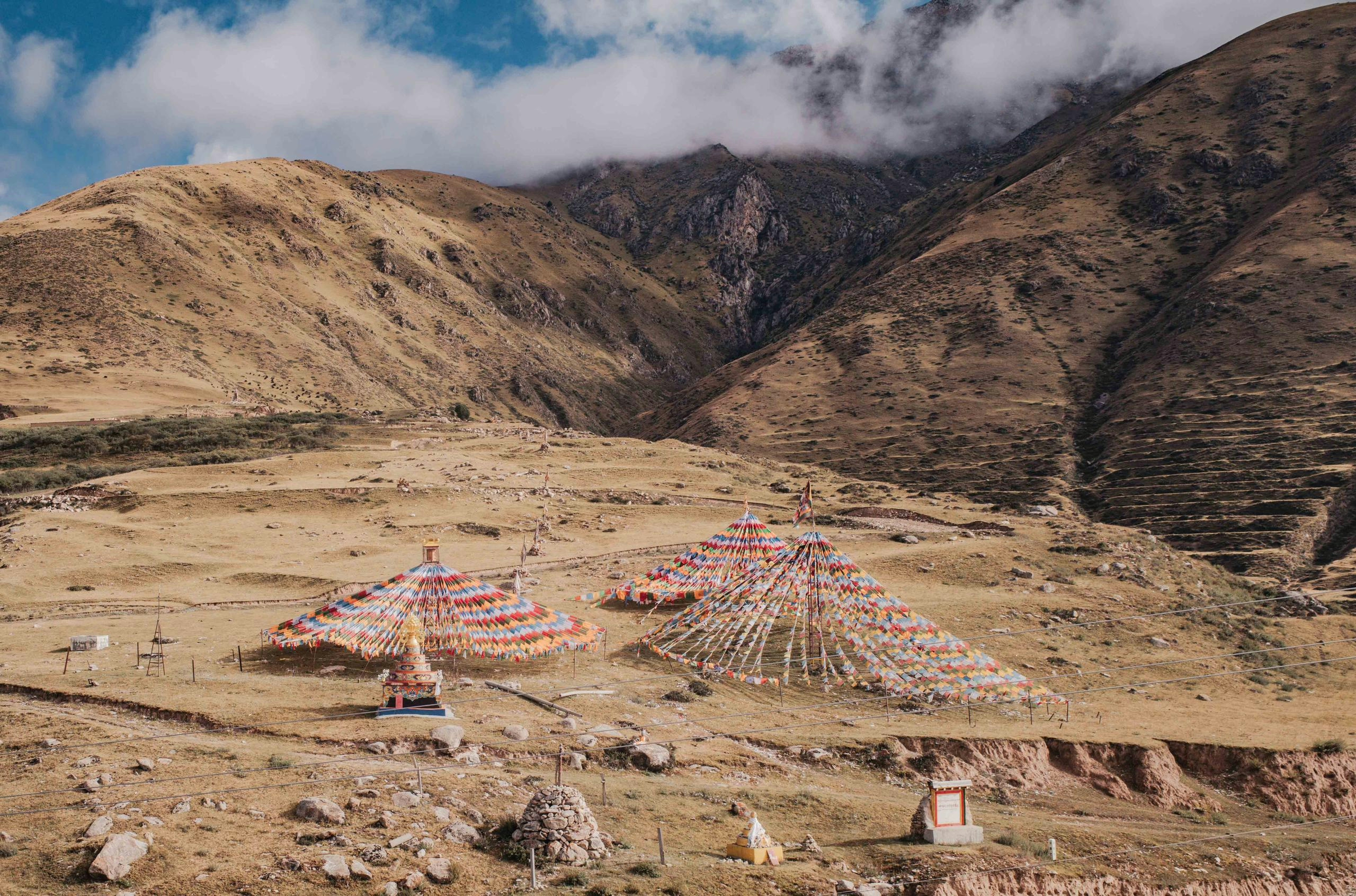
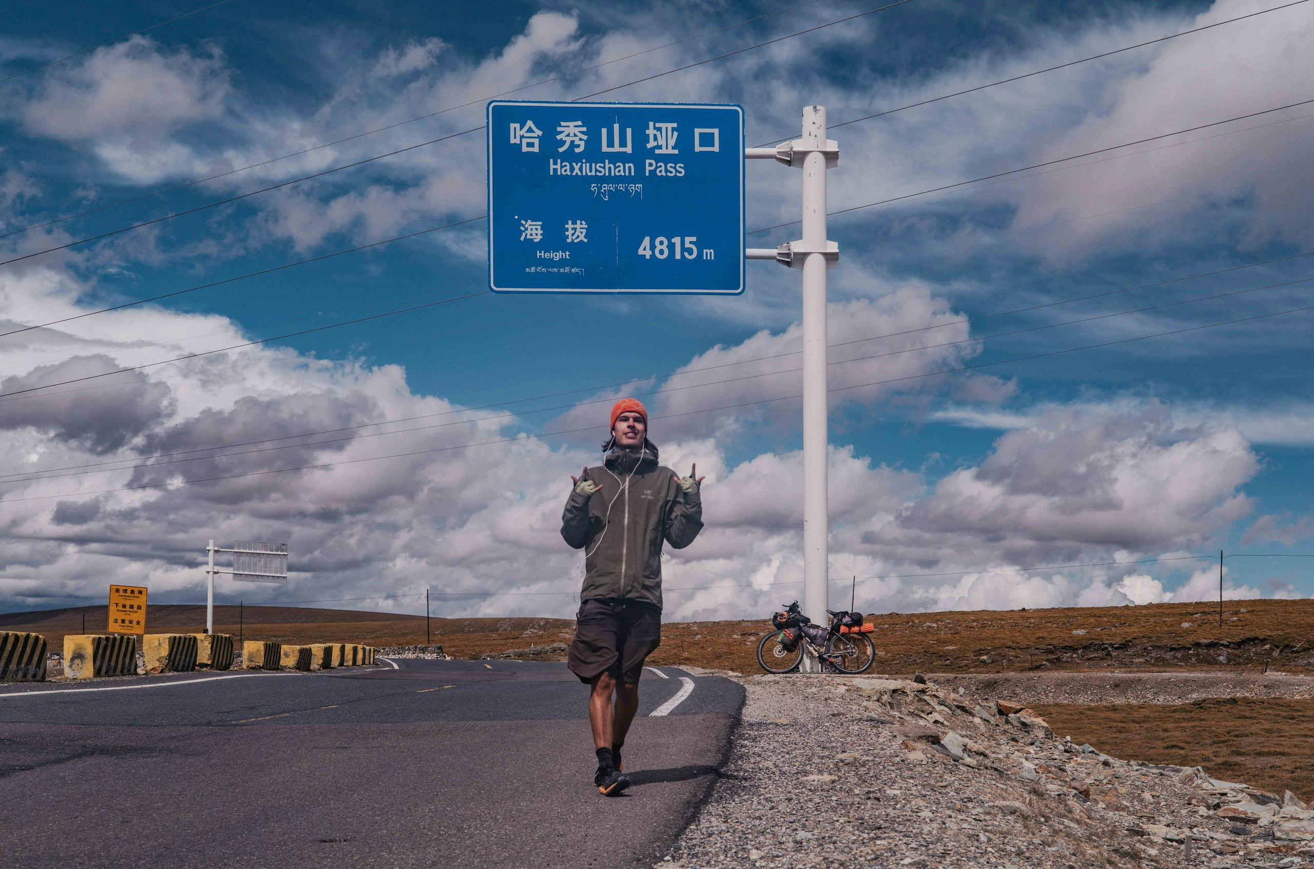
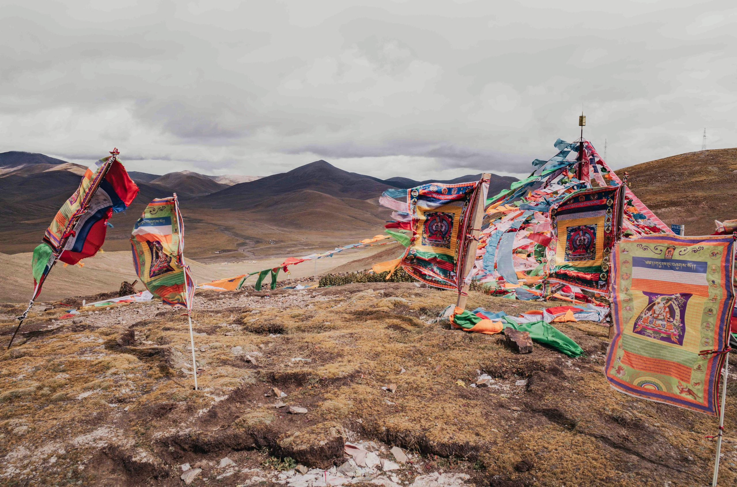
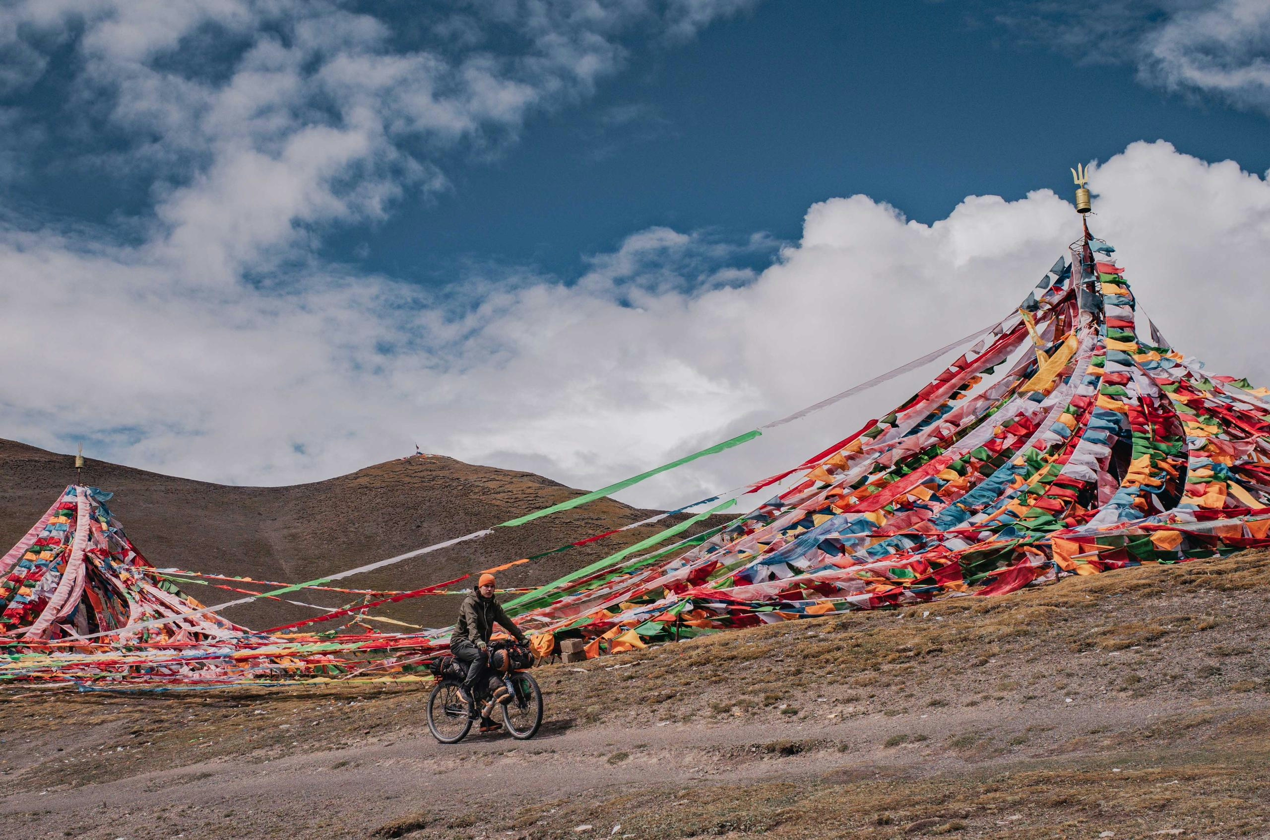
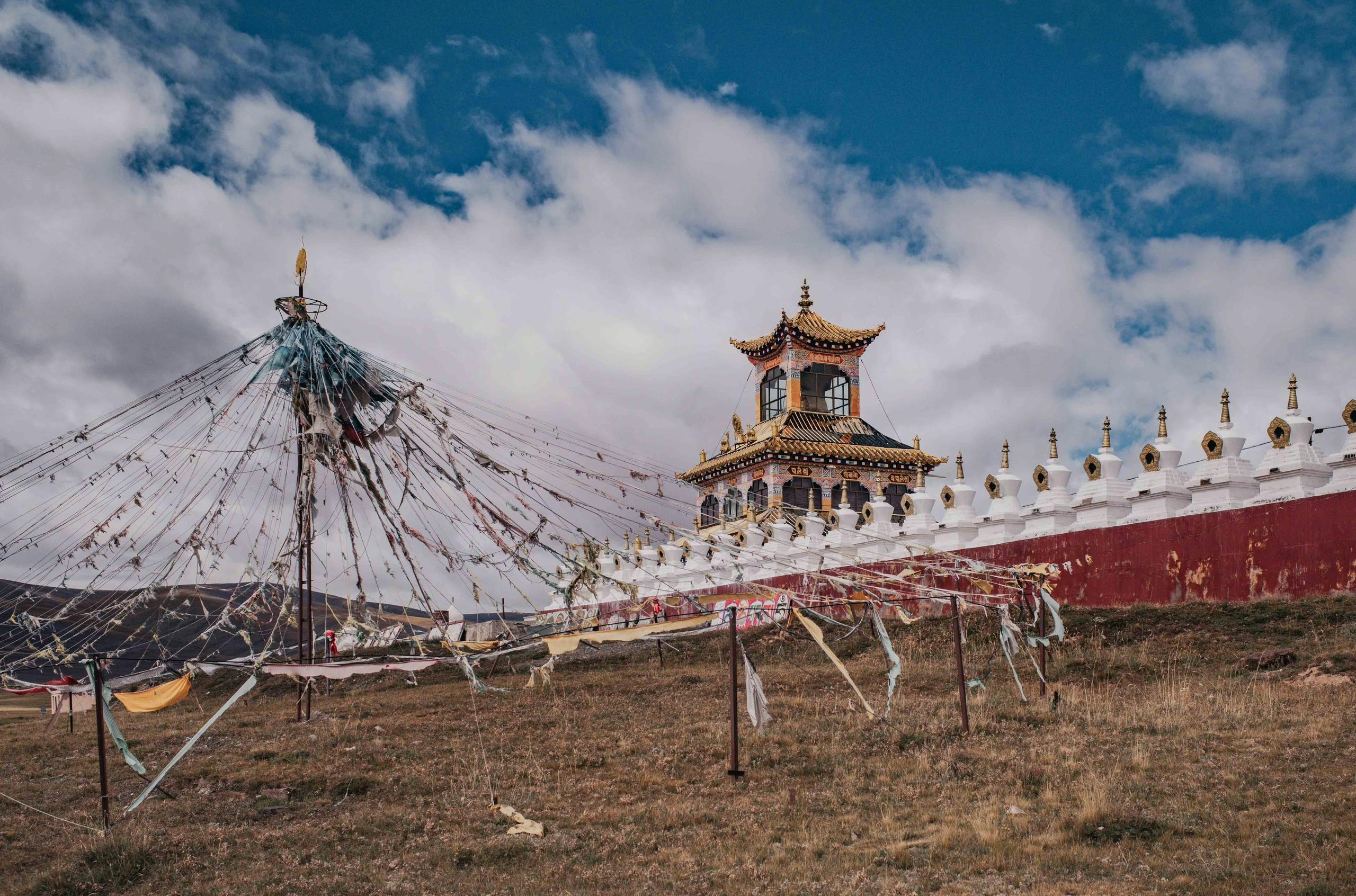
In the next two days I would cycle over three more passes above 4500m, with the top one topping out at 4815m, which would be the highest of this trip so far. The altitude wasn’t a big problem, as the elevation gain is usually quite gradual, rarely reaching inclines above 10%. At the top of the pass you will often find cone-shaped prayer flag structures and smaller prayer papers (Lungta) scattered on the ground, thrown in the air by locals as offerings for the spirits.
Continuing my way through the sparsely populated Tibetan Plateau in Qinghai, I noticed a hill full of prayer flags in the distance. Intrigued, I made a small detour to check it out. From the outside it seemed like any other monastery, but I quickly found out that it was actually a nunnery, meaning there were only female students, something I hadn’t seen before. As Buddhist scholars generally avoid the opposite gender I didn’t receive much insight into their lives, and most didn’t want their photos taken. But the word that a foreigner was in town must have spread, as in the evening while I was setting up my tent, a young man from a nearby house came by not just to ask me some questions, but also to bring me some food and hot water, a welcome gift as by now the temperatures during the night were around freezing. The following day I crossed two more 4500m passes and reached a village where I would stock up on food for a few very remote upcoming days.
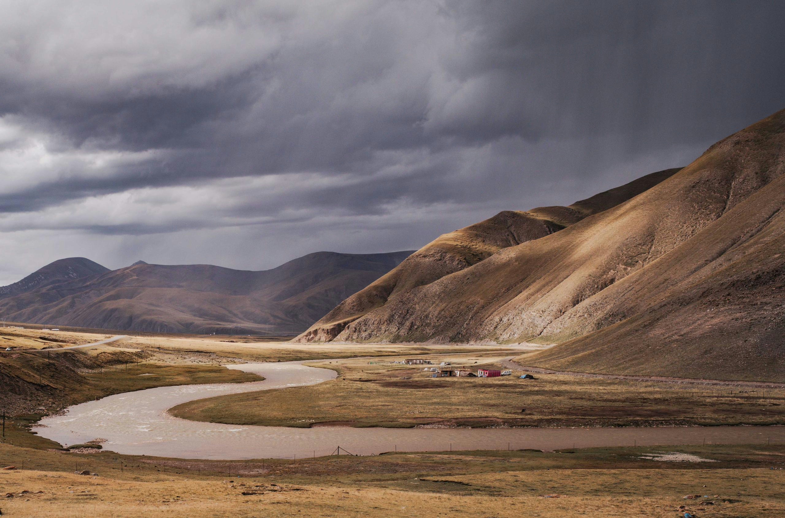
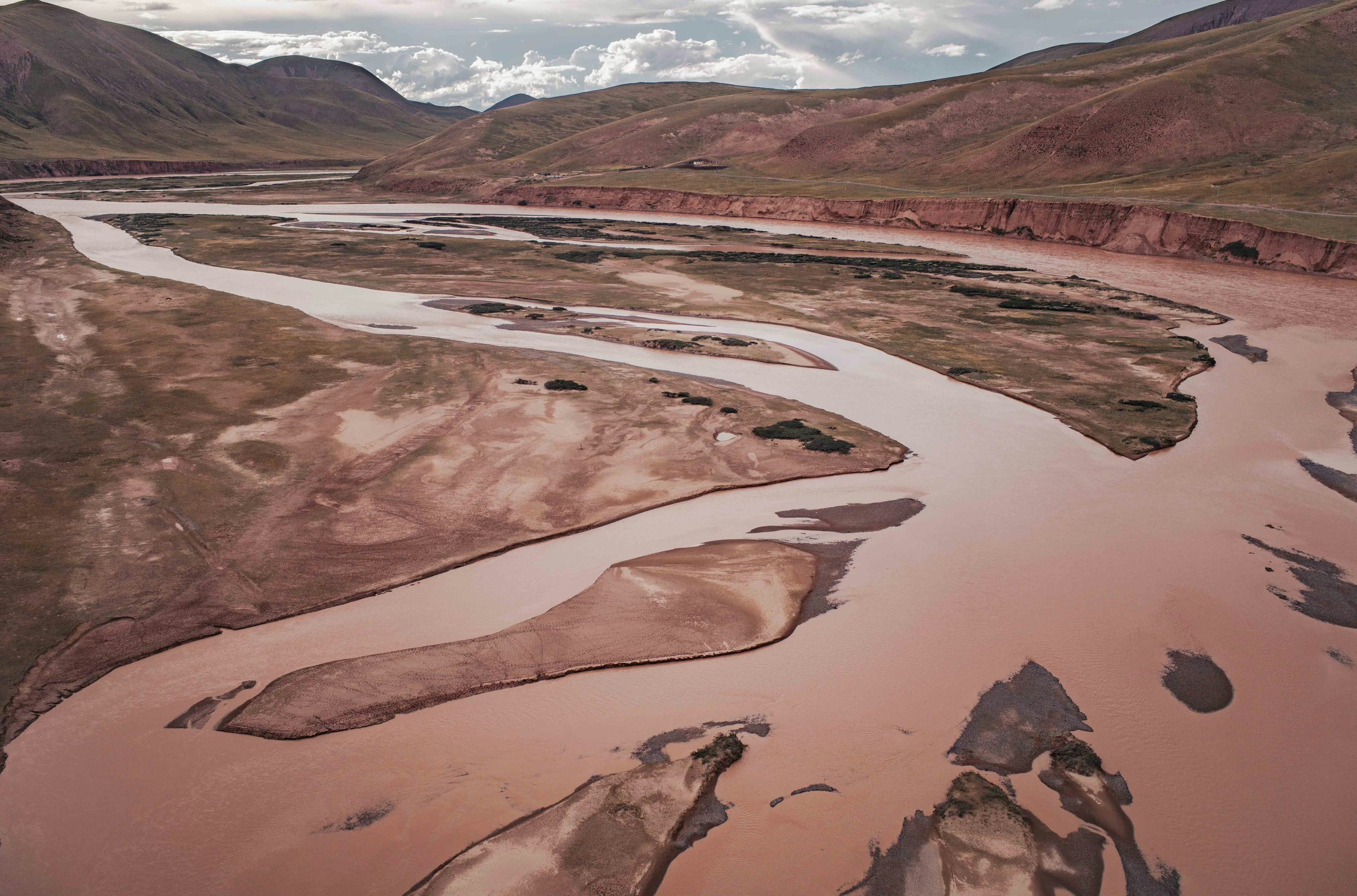
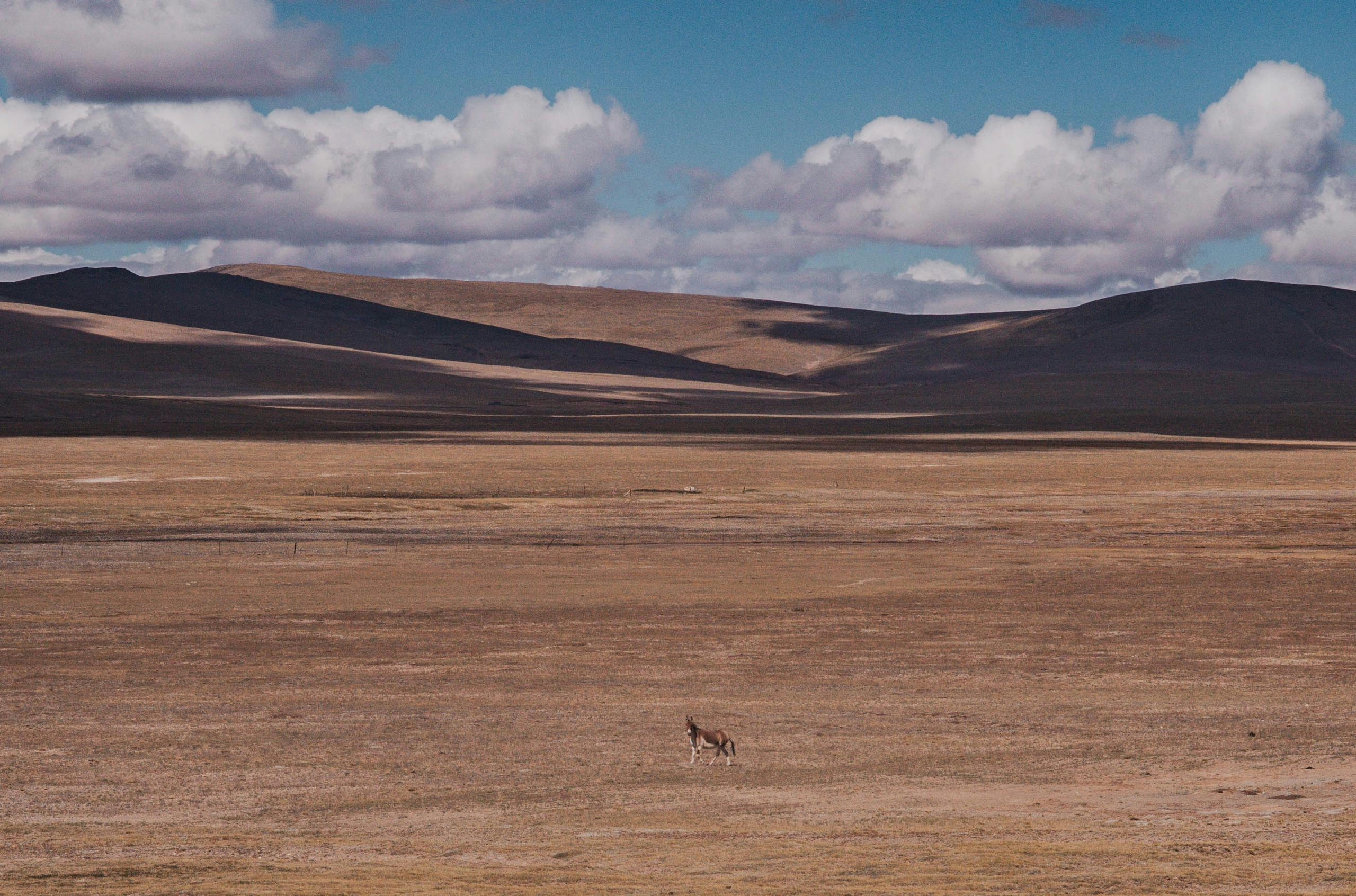
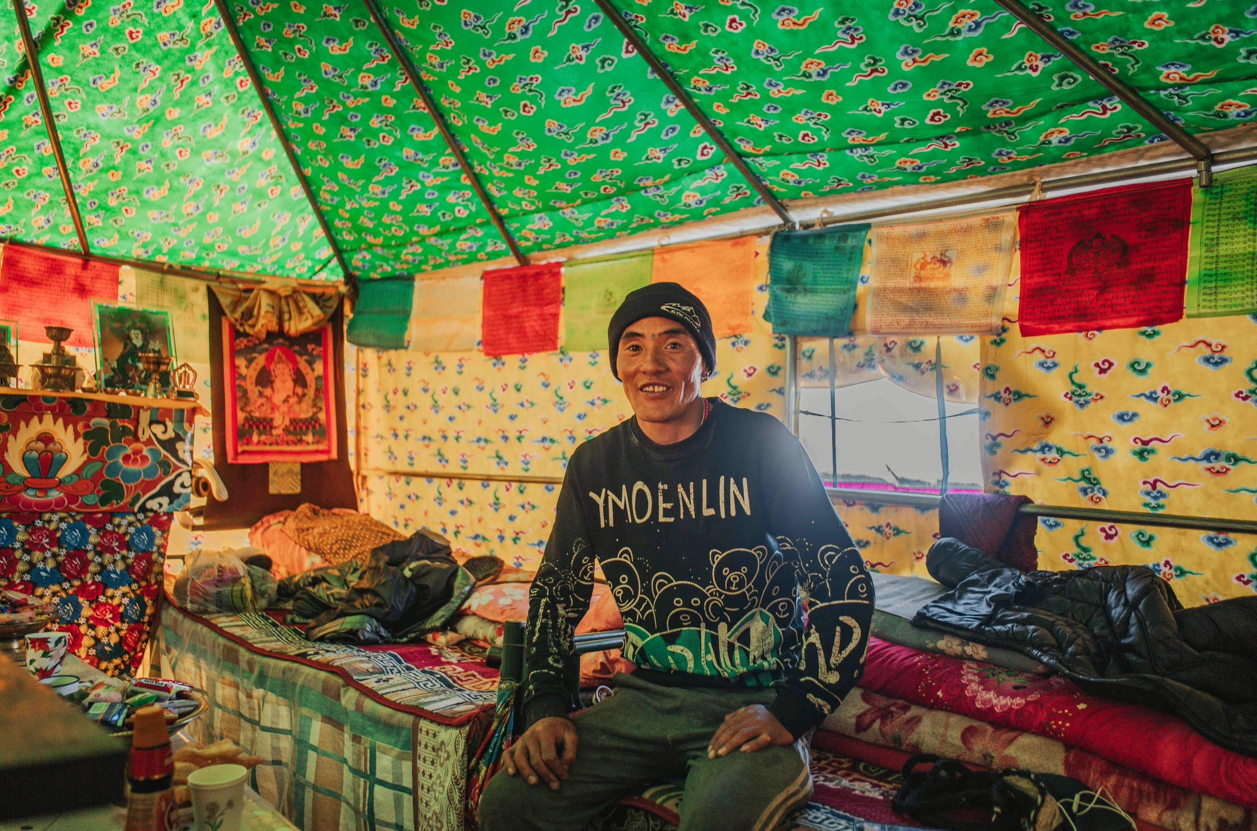
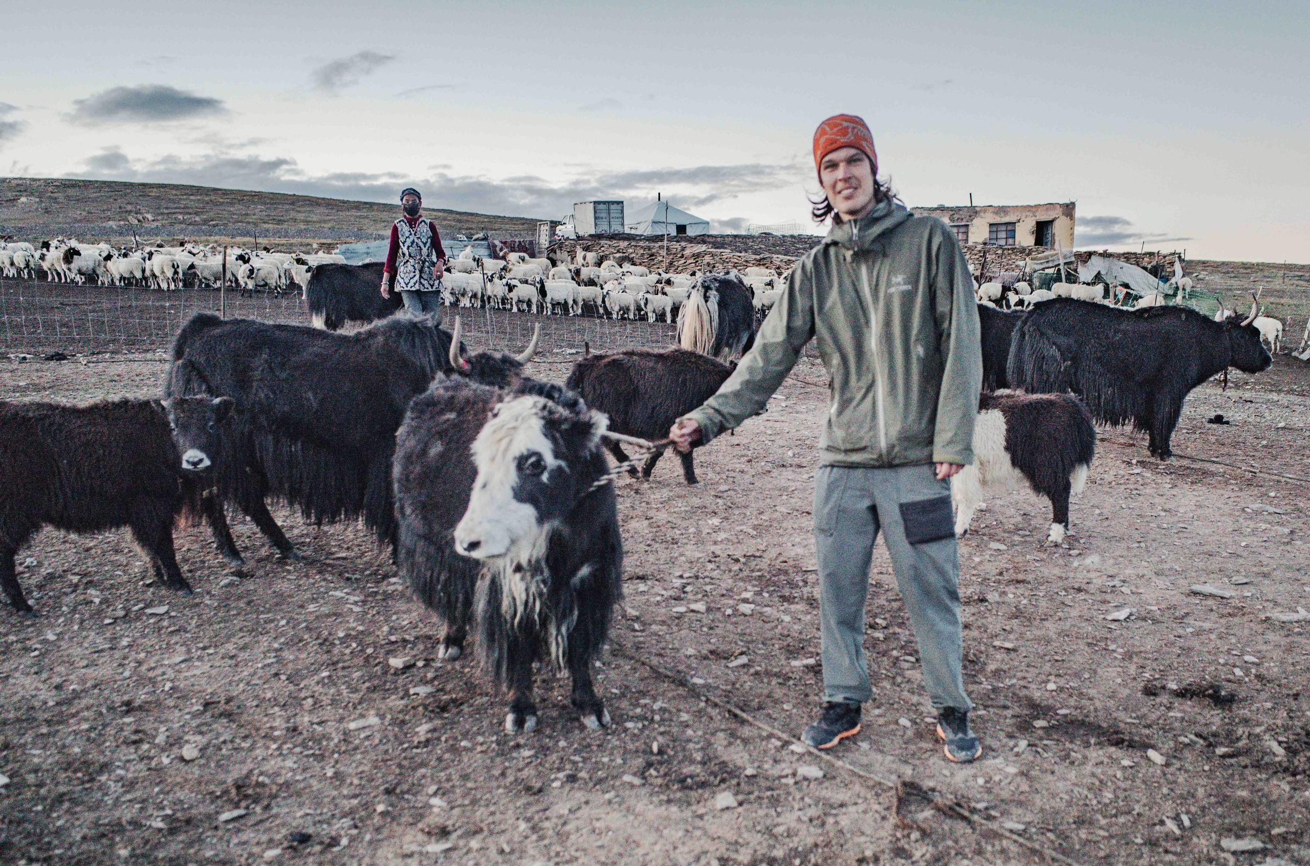
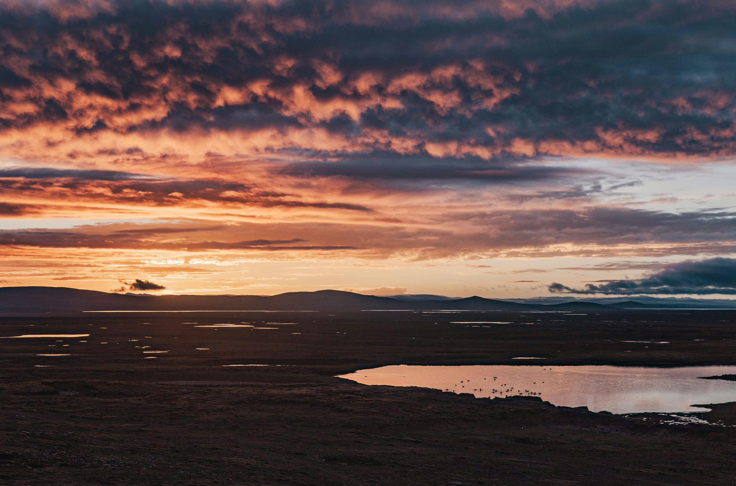
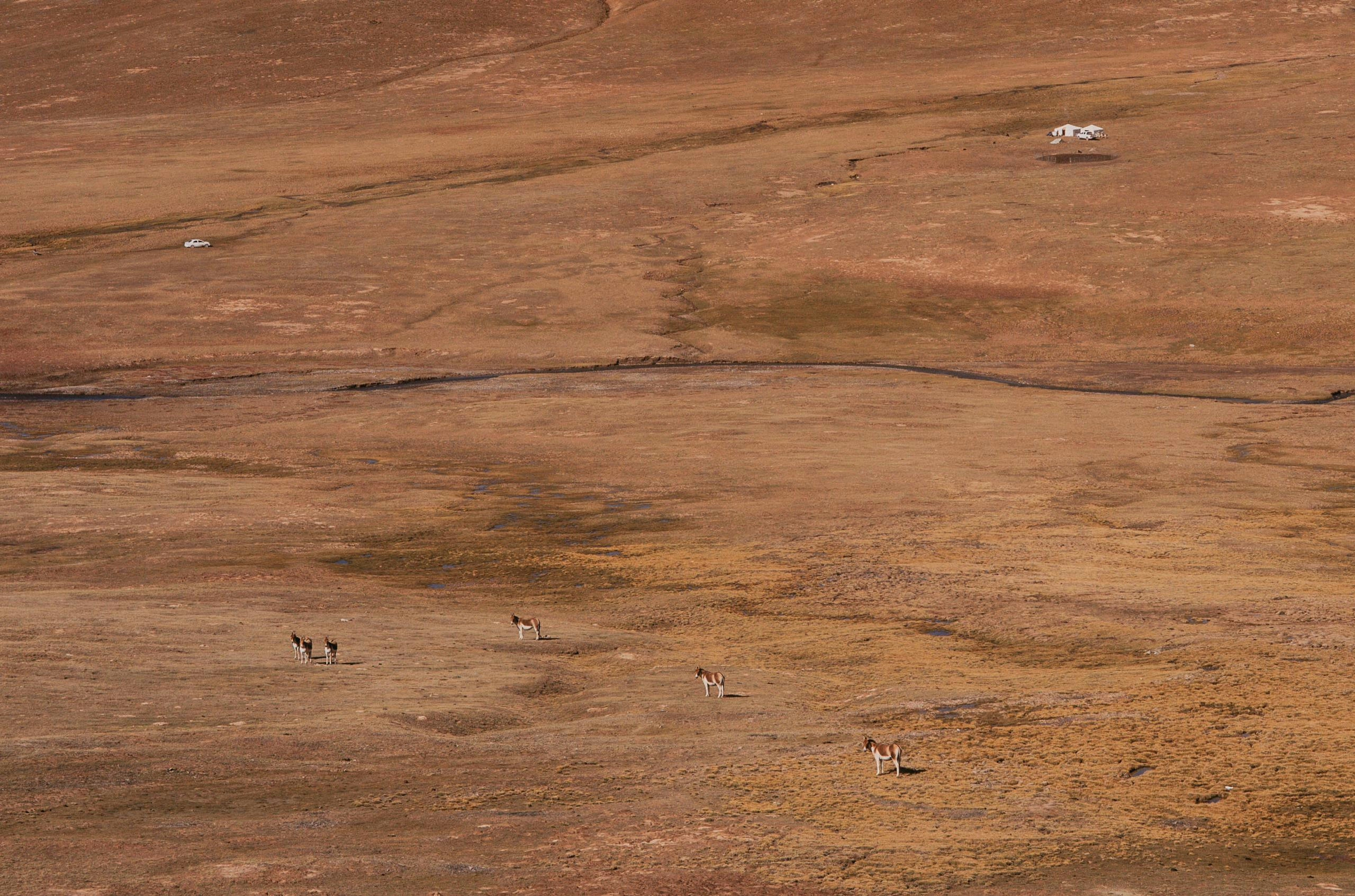
My final stretch on the Tibetan Plateau was one of my favourite parts, as it was the most wild bit. Over the span of multiple days on an unpaved road I only came across a handful of people, but the most wildlife I had seen yet. Not just the usual eagles and pika, but also wild donkeys (Kiang), deer, rabbits, foxes and wolves. Most of the time I was above 4300m, and one afternoon I was waived over by a Tibetan semi-nomadic couple, who were living in their tent home at more than 4600m year-round. 150km away from the nearest town, they live in total solitude, without running water or cell phone service, and only a solar panel to power their phones and radio devices, with which they can communicate with other nearby nomads.
They spoiled me with a delicious yak stew and cups of butter tea, and showed me how they care for their livestock, sheep and yak. After milking the cows, the animals would be locked up for the night, guarded by their two dogs.
Communication via my translation app was hardly possible due the lack of phone service, so we spent the evening exchanging photos. They showed me pictures and videos of the brutal conditions they face in the winter, and plenty of wildlife footage, including wolves coming after the calves and sheep, Tibetan Antelopes (Chiru) and multiple types of deer.
They had a spare bed in their home, in which they insisted on me spending the night in. I accepted as temperatures at this altitude are below freezing during the night, but I honestly didn’t sleep very well as it was super warm thanks to the yak-dunk powered stove, a stark contrast from my previous nights.
After breakfast the next morning I gave them some noodles and chocolate, in return for their hospitality and the memories I made, and set off.
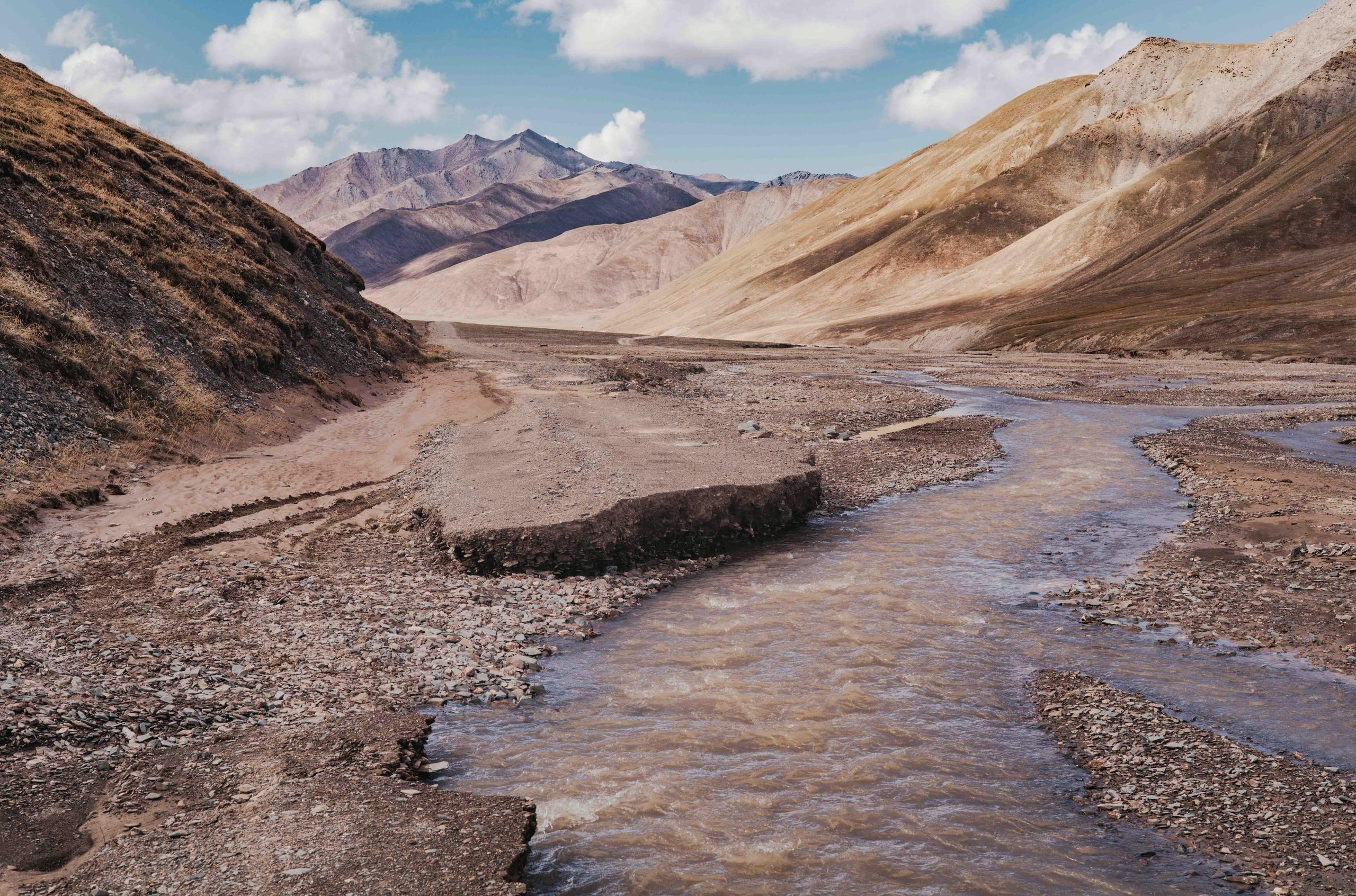
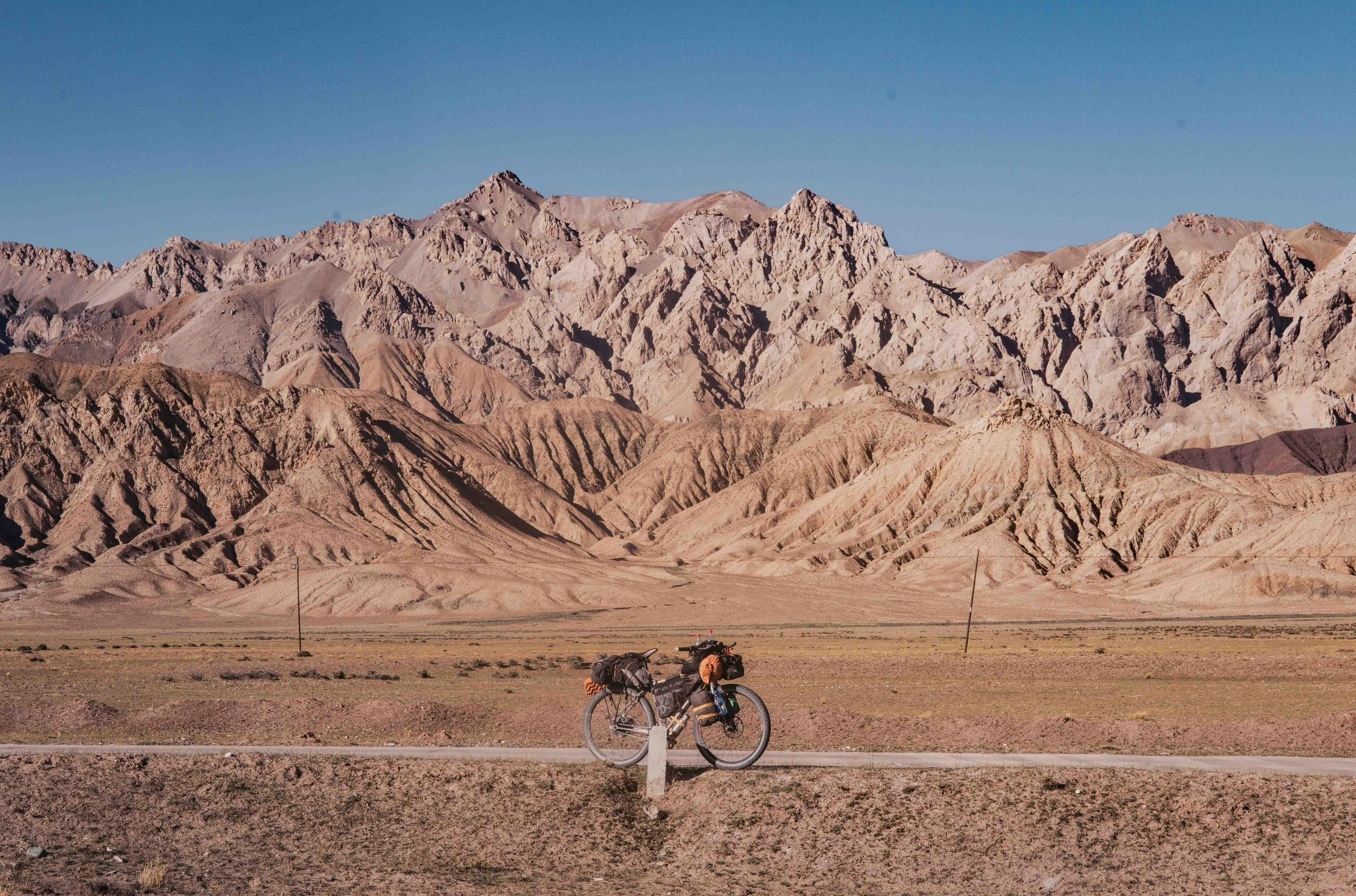
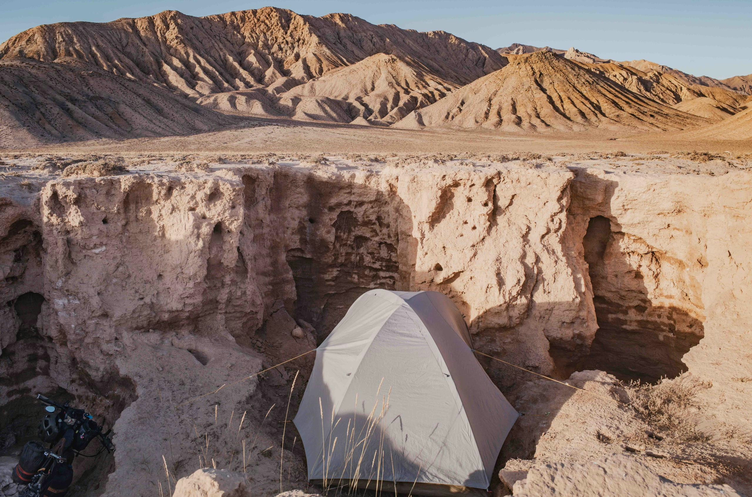
After spending over a month on the Tibetan plateau I reached the Kunlun mountain range, the northern boundary of the plateau. Roads were a bit rougher and sometimes washed away, as these trails are only used by the nomads. But I didn’t mind, as it was mostly downhill from here and the mountains were quite spectacular. The scenery was still quite dry, and the landscape reminded me a bit of the mountain ranges in Iran or Oman. Within two days I dropped from 4600m to 2800m and reached Golmud, the final destination of this 2000km long journey. Here I shipped my bike using the convenient China Railway Express logistics company towards the port city Qingdao, from where I would take a ferry to South Korea. This would markethe end of my Chinese/Tibetan adventures. For now, as I’d love to be back one day.
