After spending more than 6 weeks hiking in Nepal while waiting for my Rohloff Gear Hub to be repaired, I flew from Kathmandu to Kashgar, where I was finally reunited with my bike. Thanks to MJ & his bike shop crew in Guangzhou, the only bike shop in China able to service these hubs, who not only repaired it, but then also shipped it across the country.
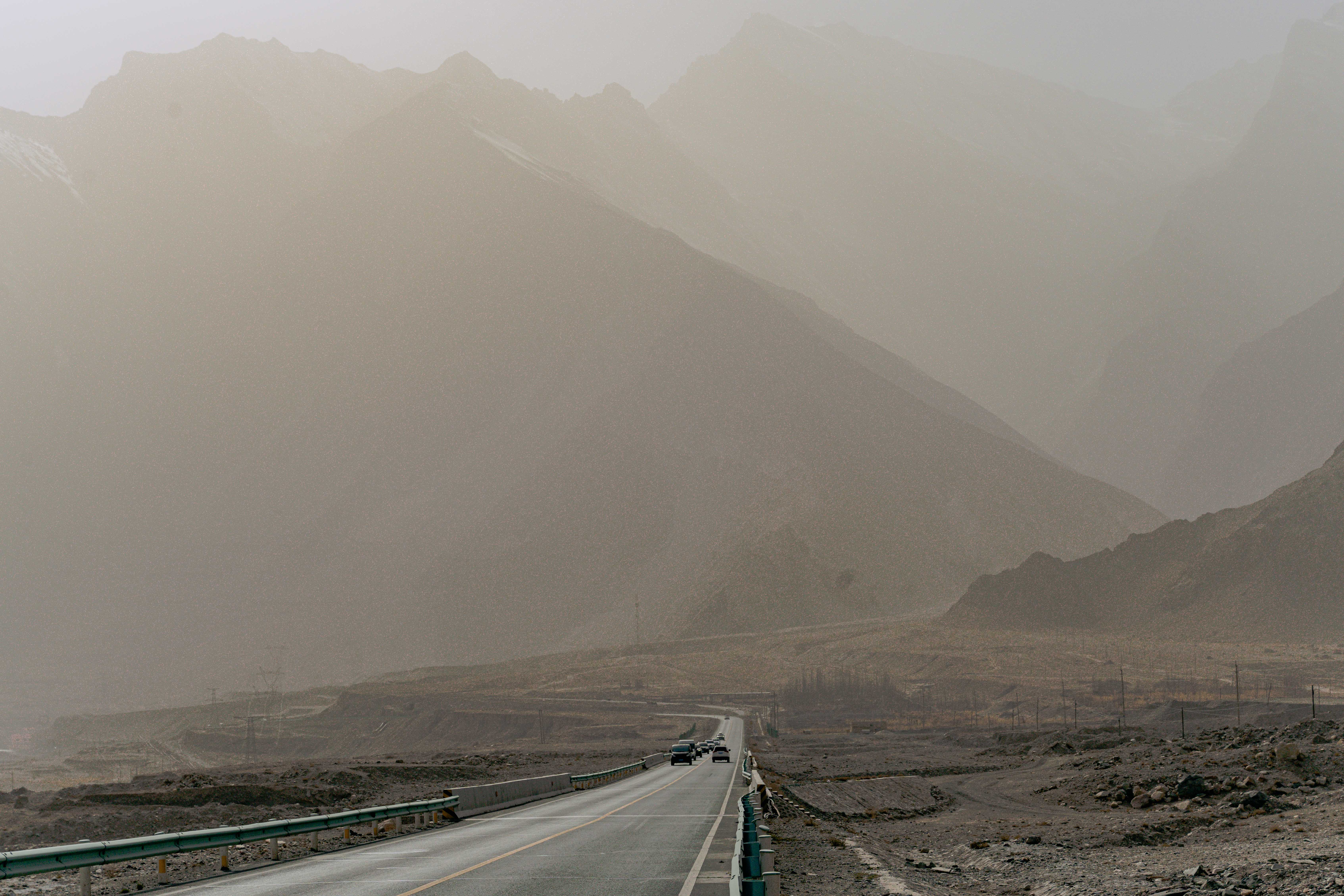
But I couldn’t have timed my arrival any worse: Just as I made it to Kashgar, a massive sandstorm originating from the nearby Taklamakan desert hit the city, and covered everything in a thick layer of sand and dust. The Air Quality Index measured 2500, which is ten times worse than the most polluted cities in the world on an average day. I wasn’t going to cycle in these conditions, so I spent over a week in a hostel, waiting for the situation to improve.
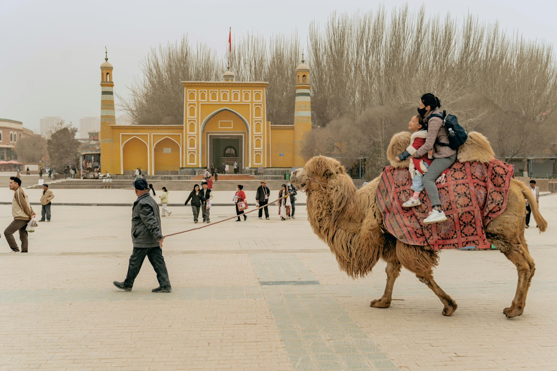
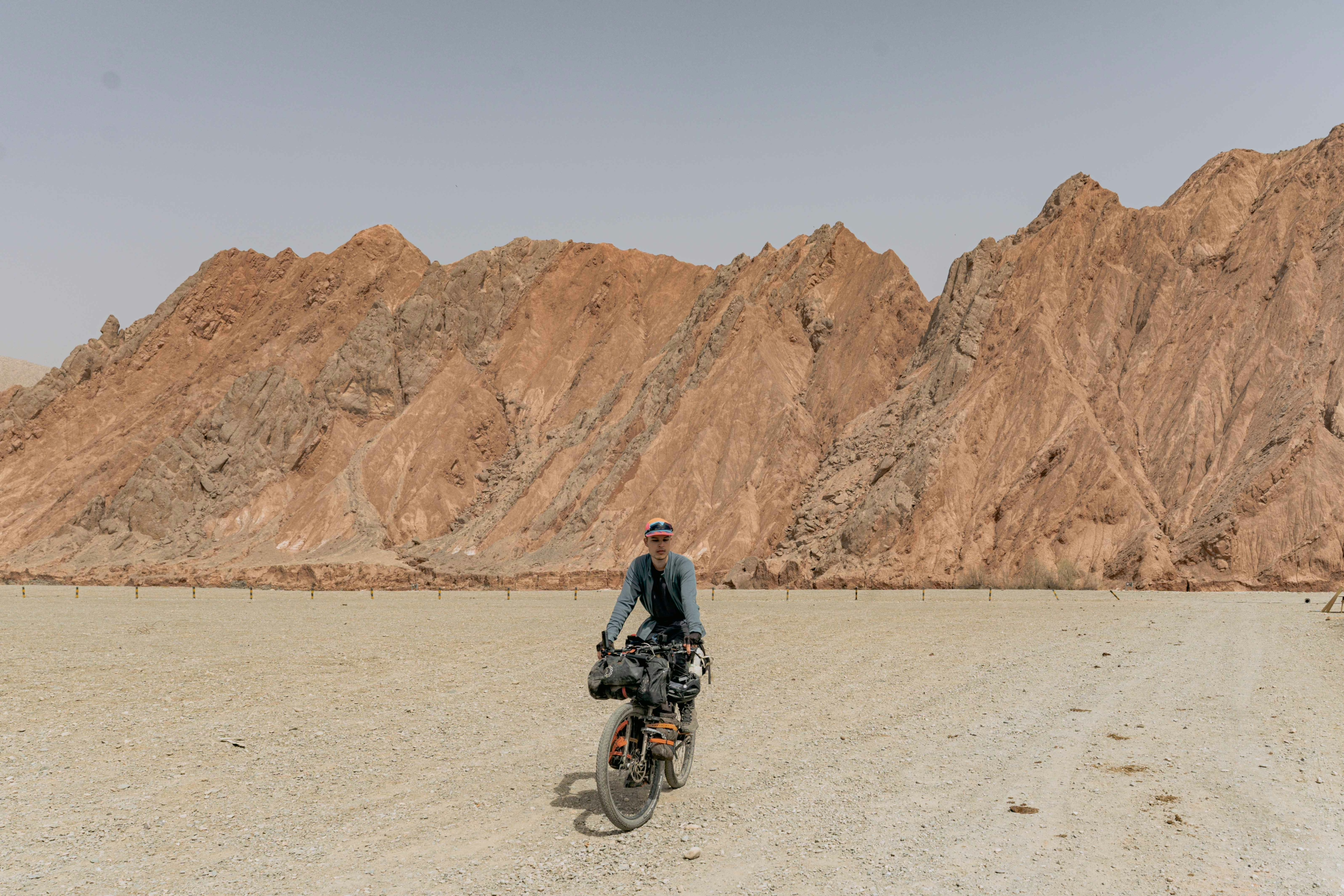
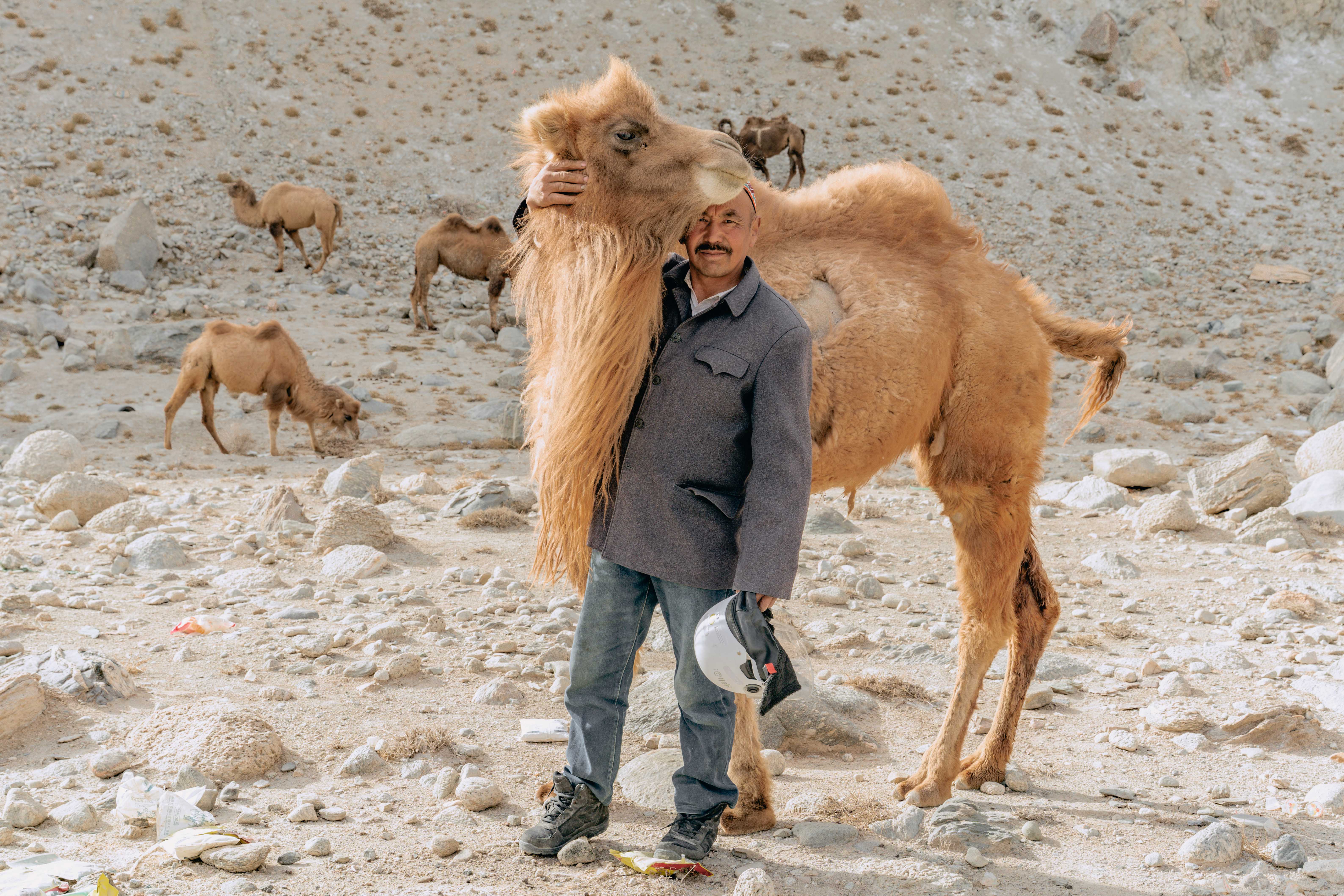
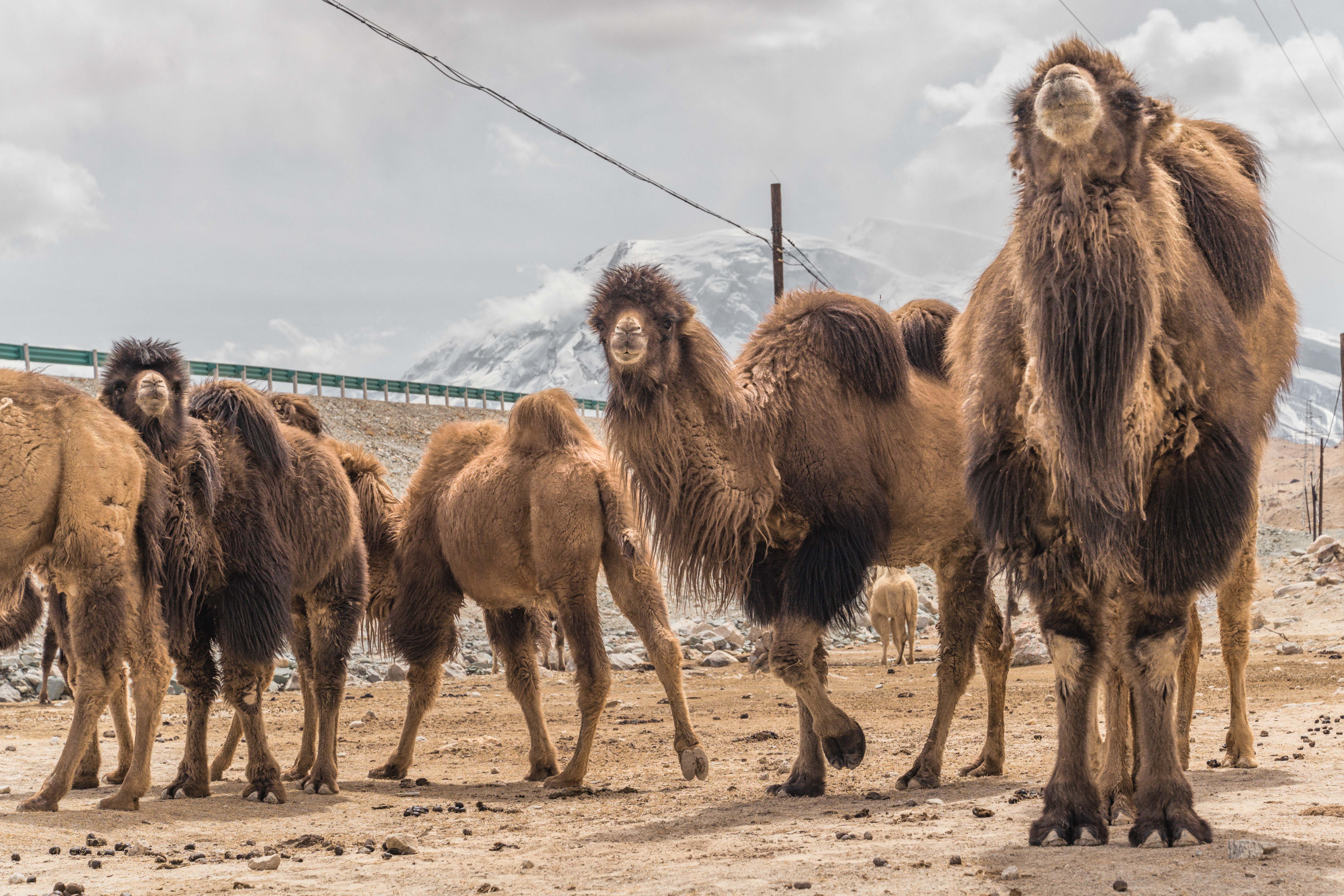
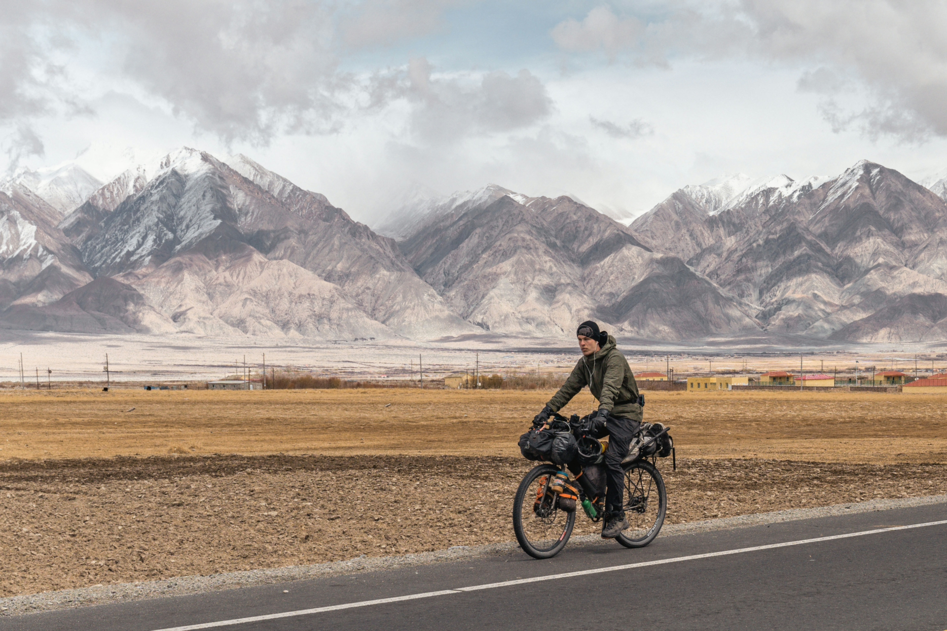
Eventually it got a little bit better and I got back on the bike, with a plan to cycle towards Pakistan via the Karakoram Highway. This lead me through the countryside of Xinjiang, which is mainly inhabited of Uyghurs and Kyrgyz.
In the past there were some security concerns in this region, but the situation has improved a lot, although there is still a bigger police presence compared to other provinces in China. Sometimes the undercover police would follow me for a while, or visit me while I was setting up camp and urge me to stay in a hotel instead. Luckily they are usually quite friendly and I would always manage to convince them to allow me to camp.
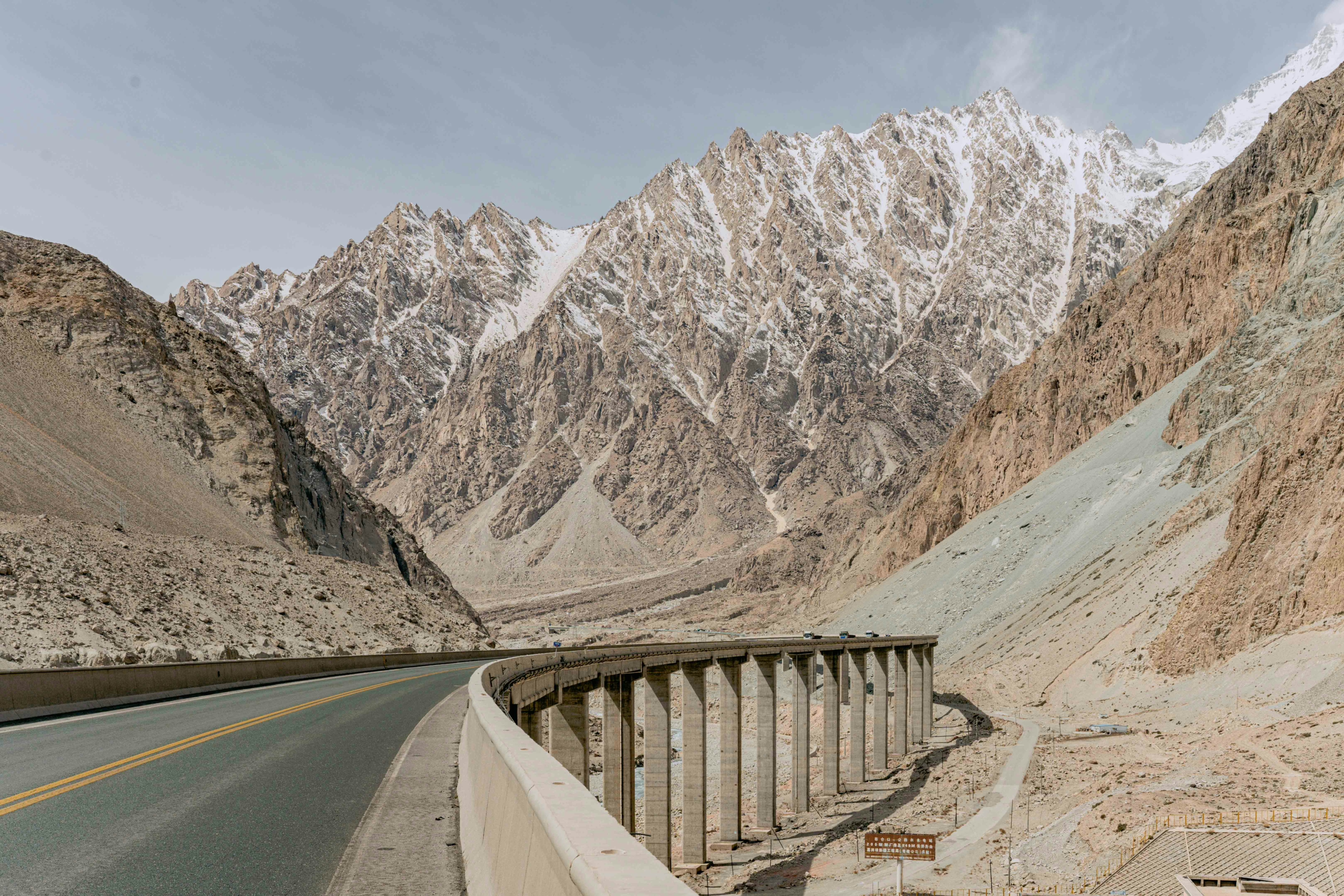
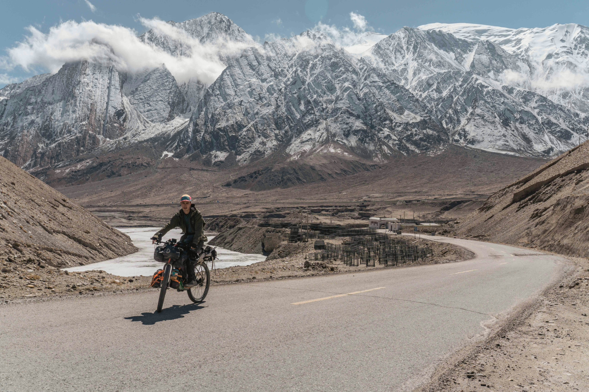
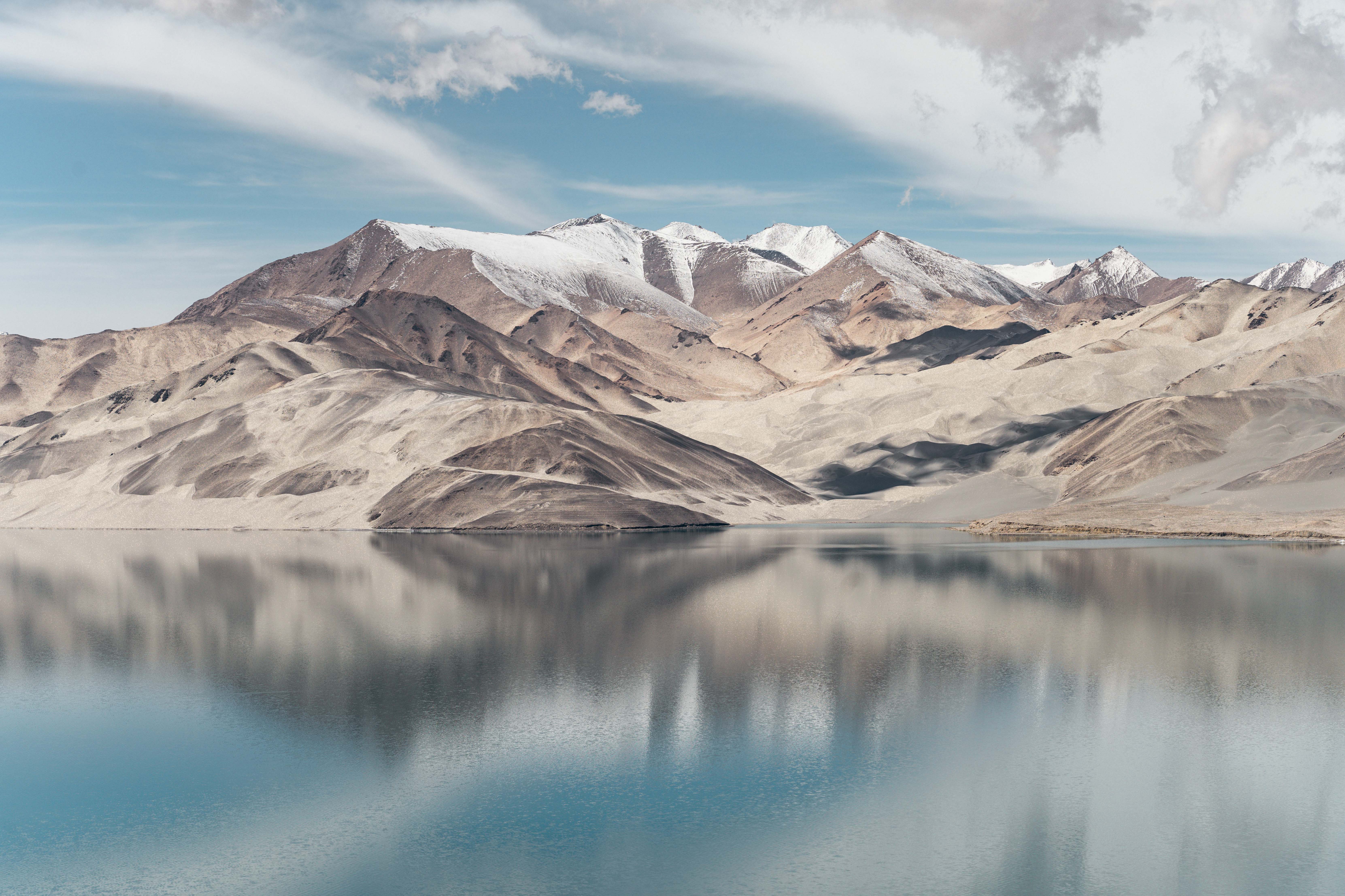
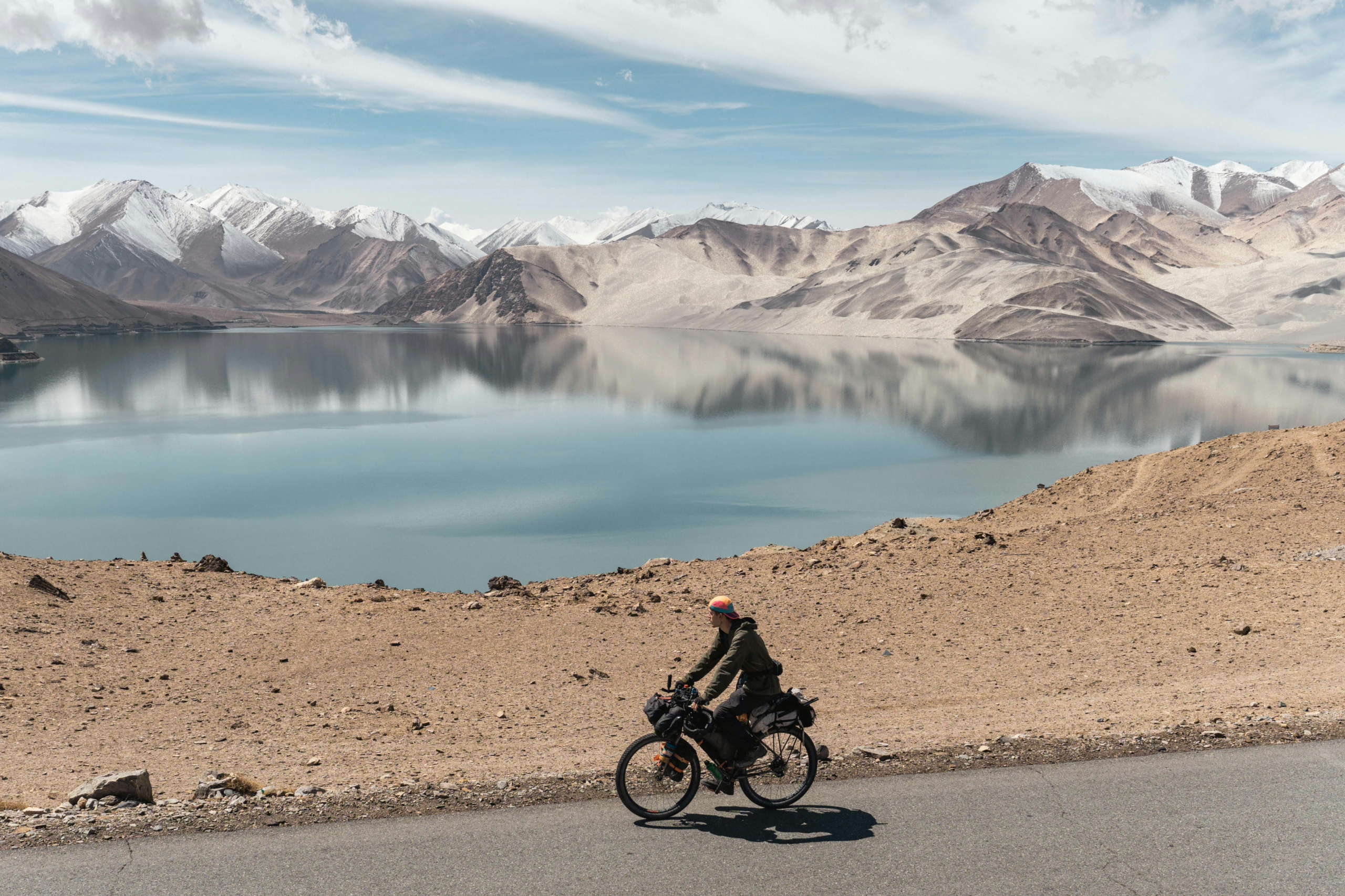
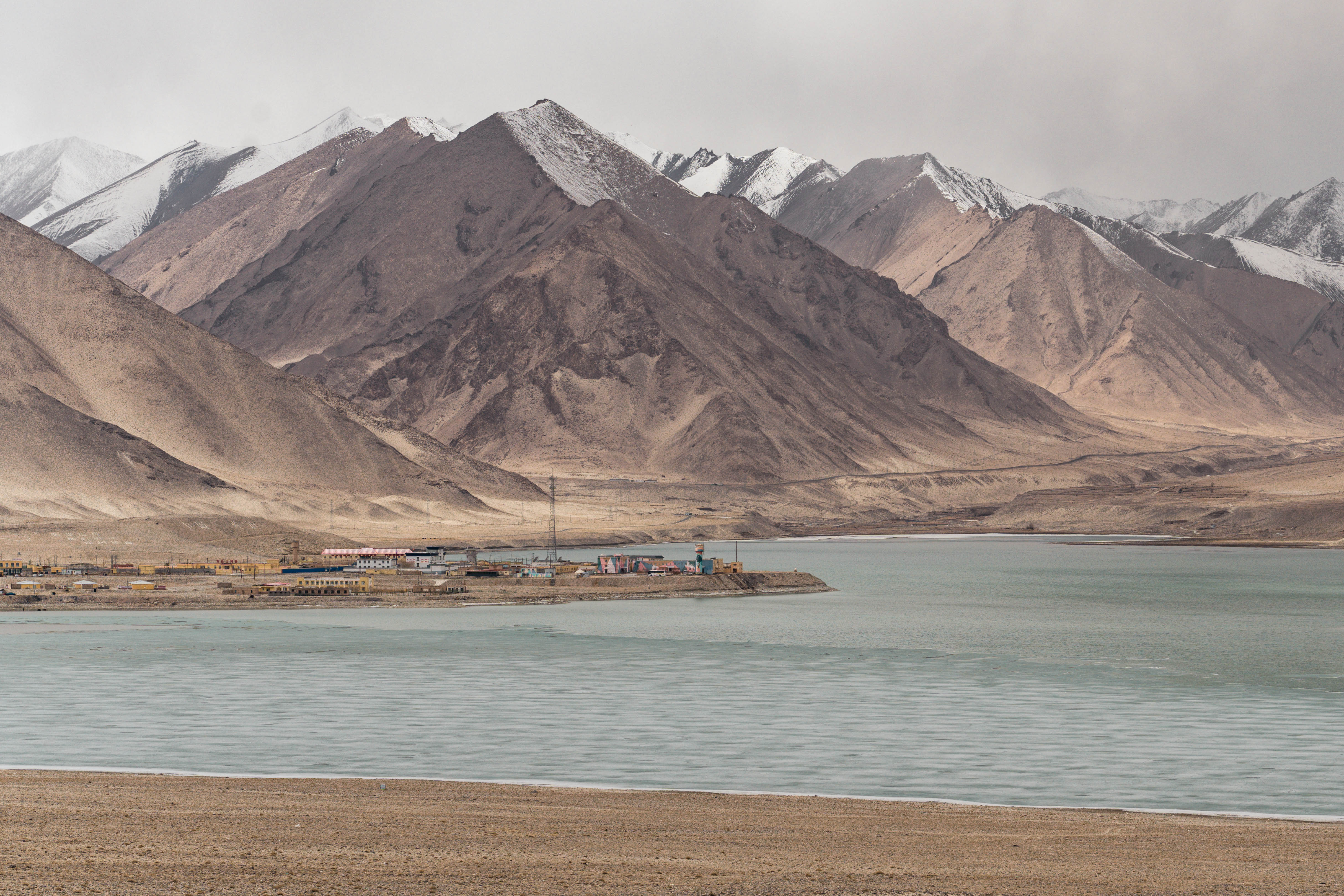
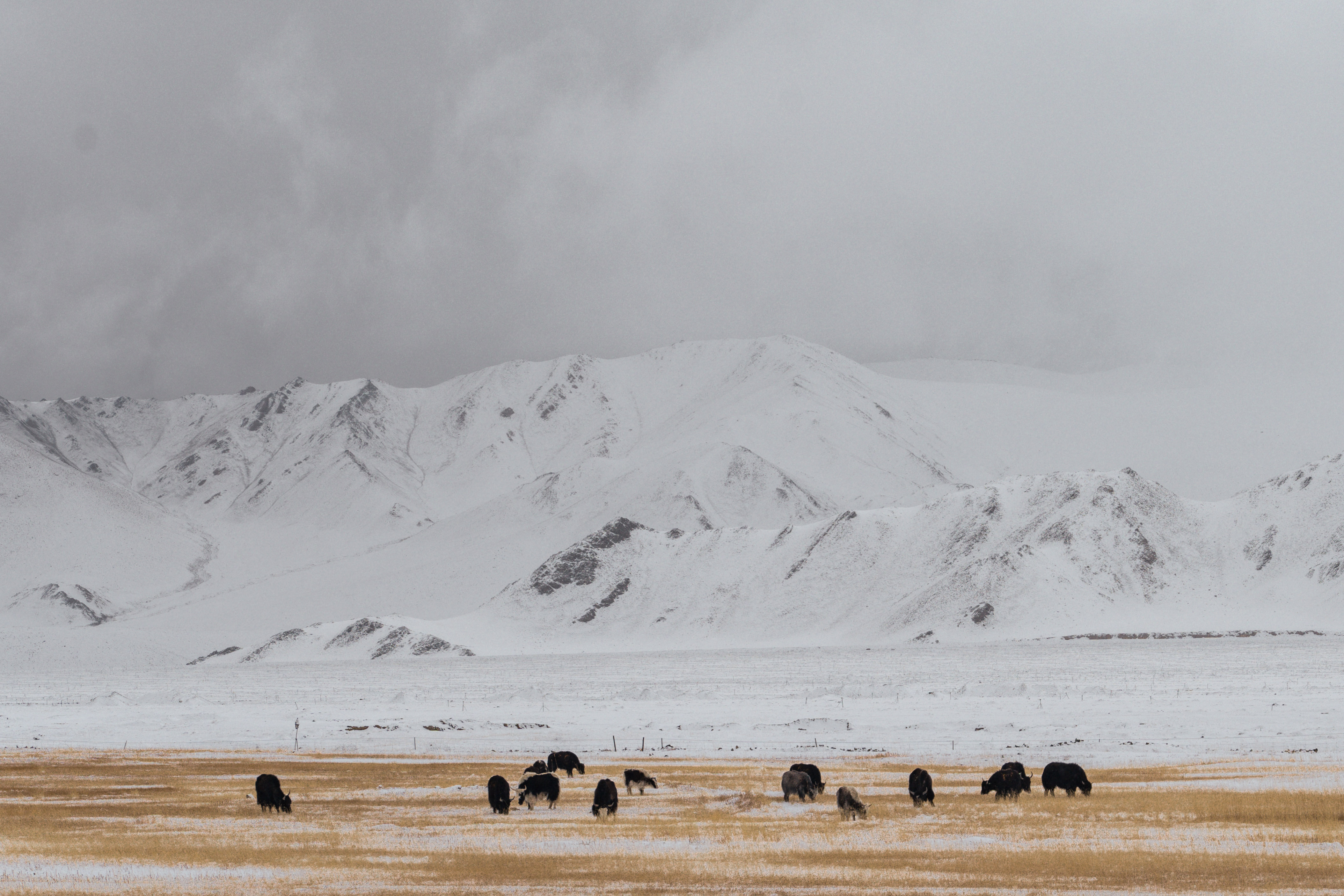
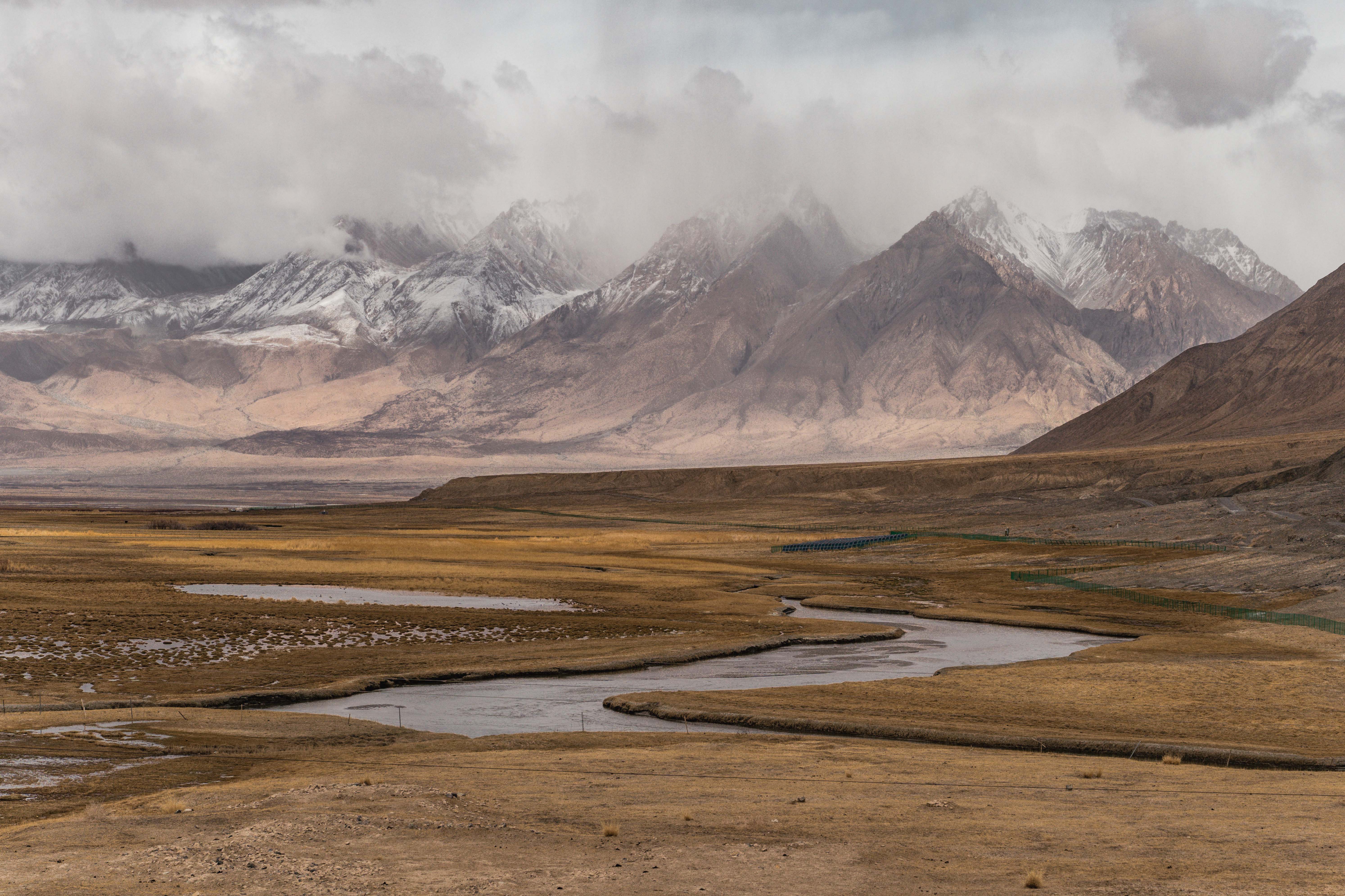
Once I was on the Karakoram Highway, passing through the Kunlun Mountains and towards the Pamir Mountains, I was facing some massive headwinds, but at least the wind would finally blow away the layer of sand and dust still in the air, making it easier to view and appreciate the landscapes, such as the majestic Lake Bulungkul.
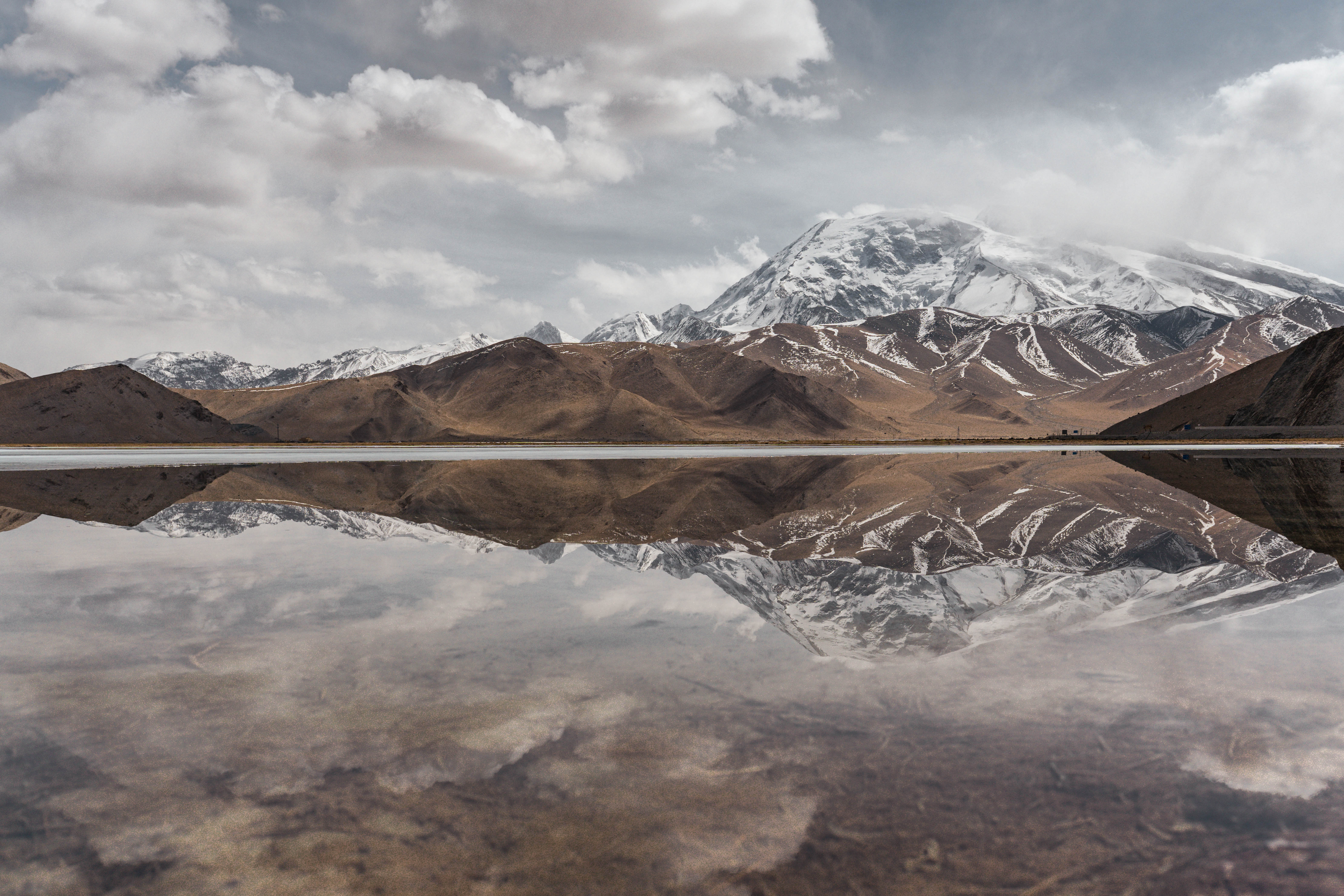
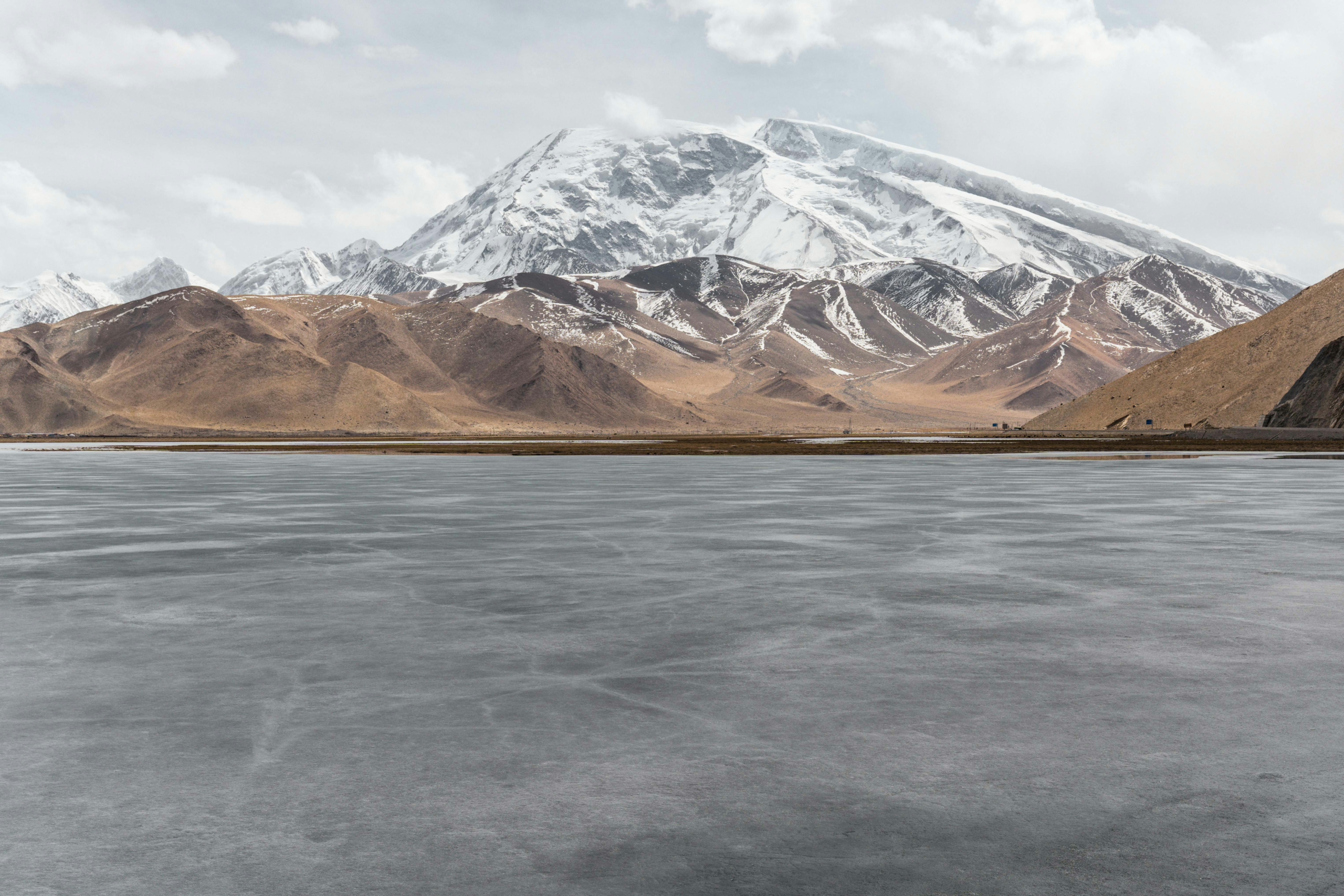
This sky-blue lake is major attraction right next to the Karakoram Highway, where I rested for a day before going on a little side-trip: Exploring the Muji valley (Blog post here).
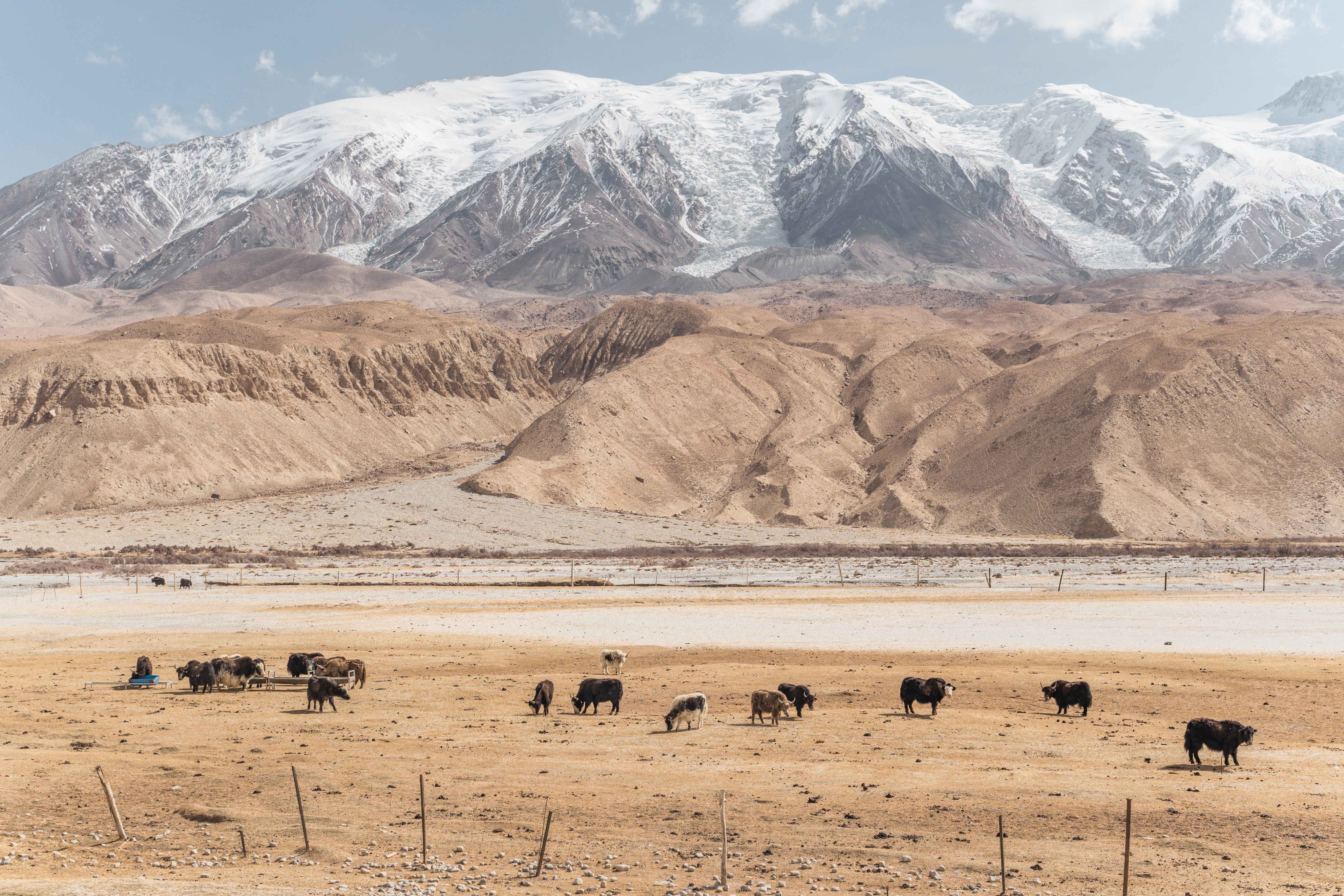
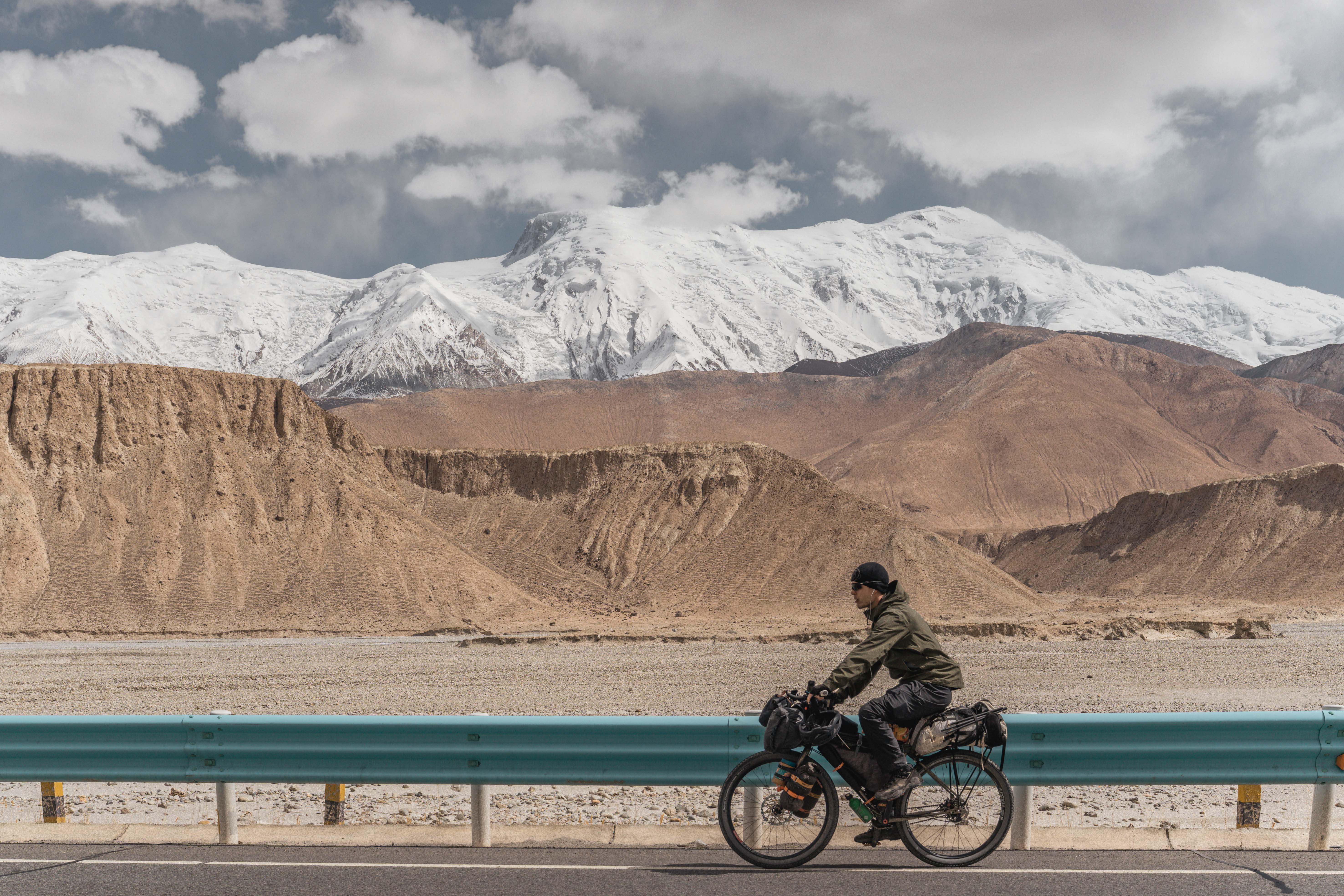
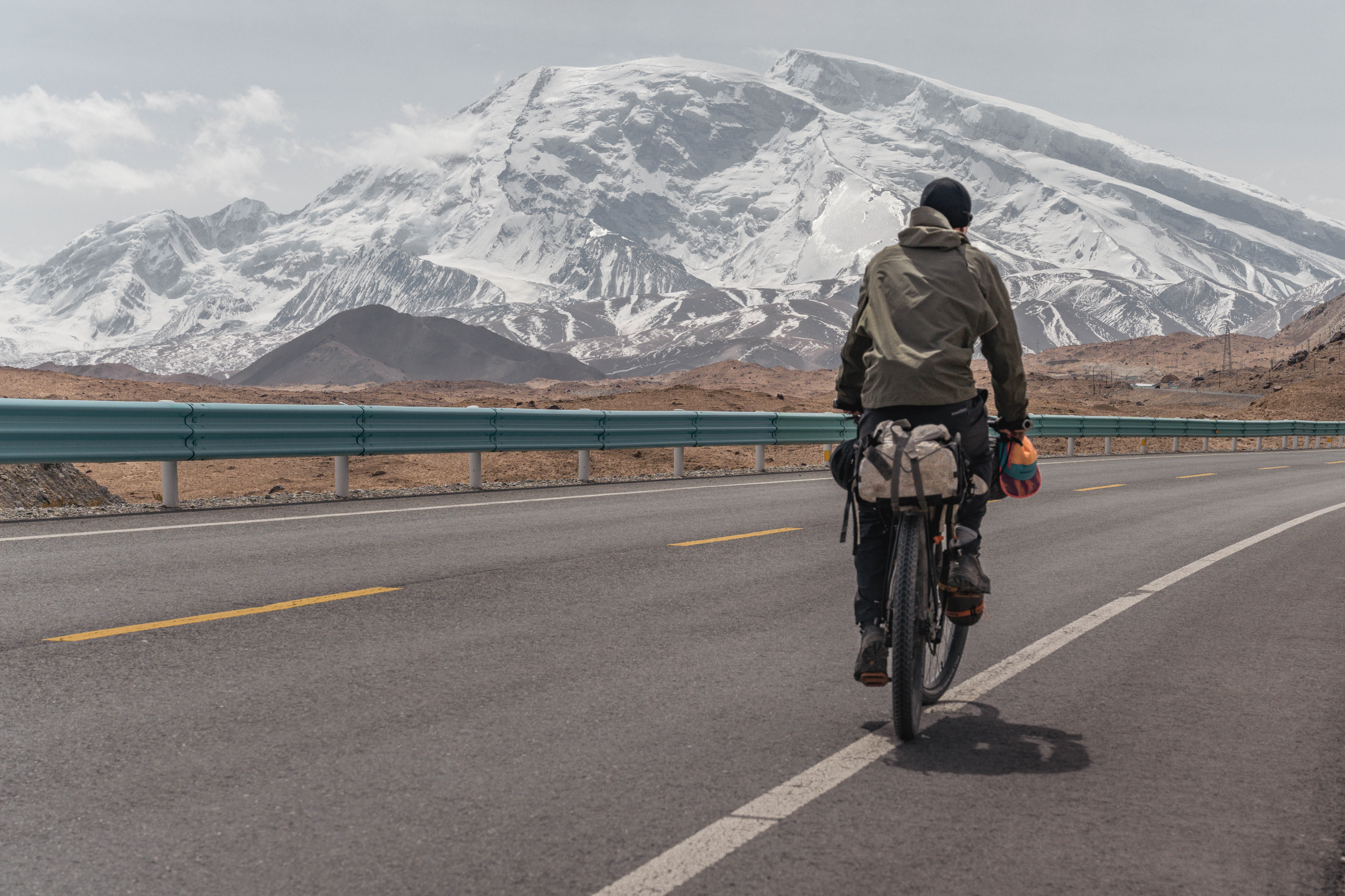
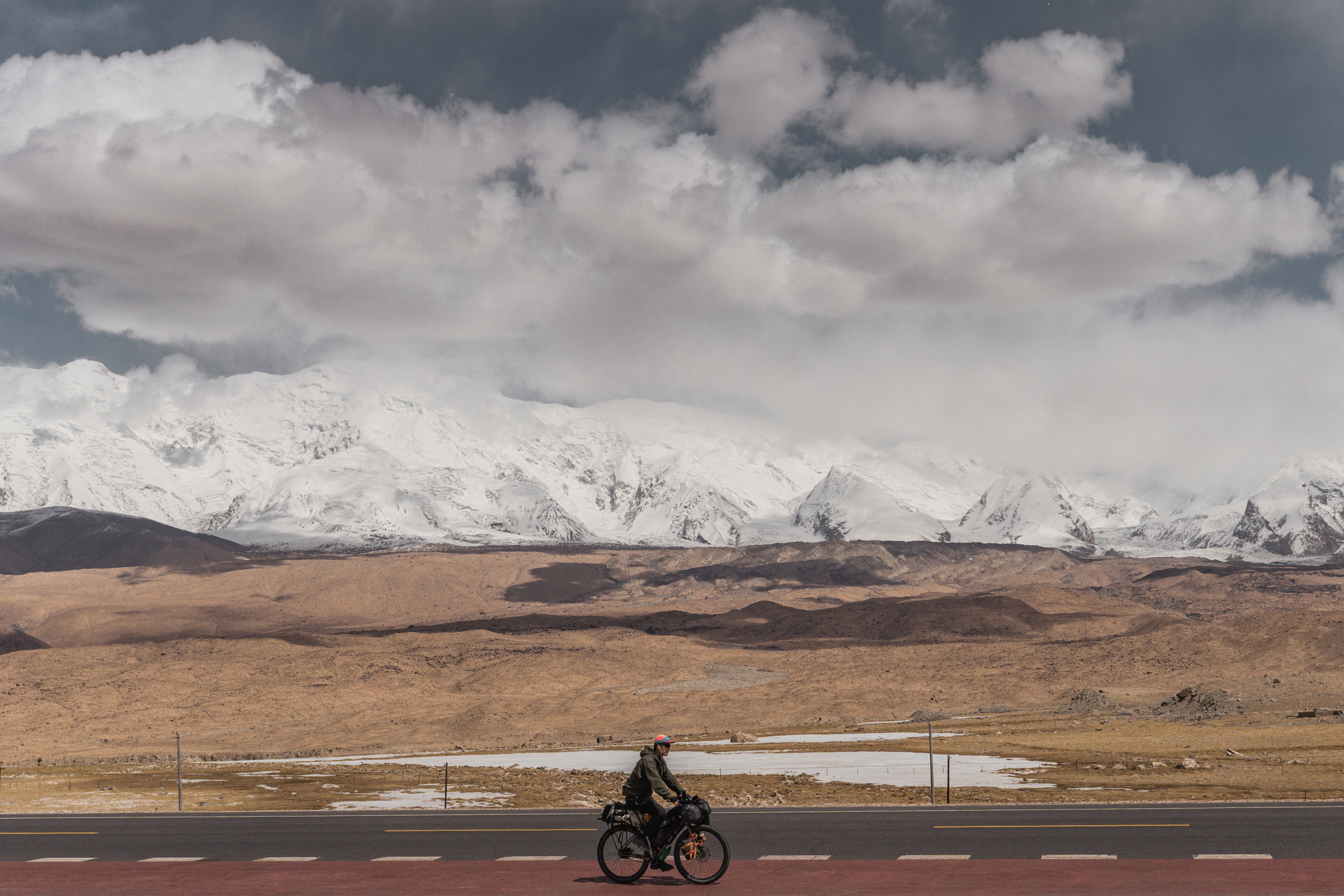
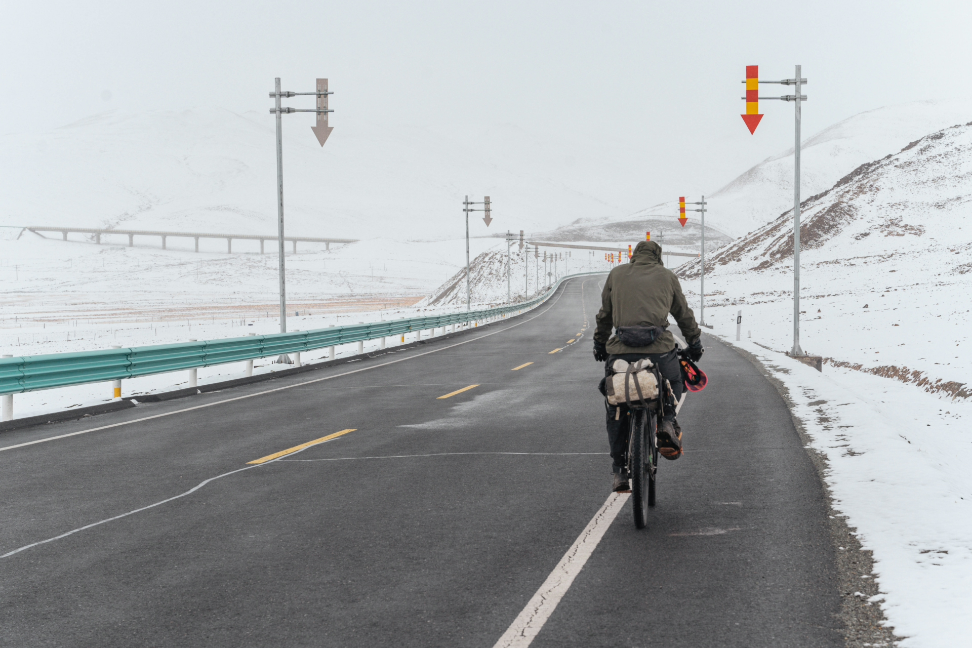
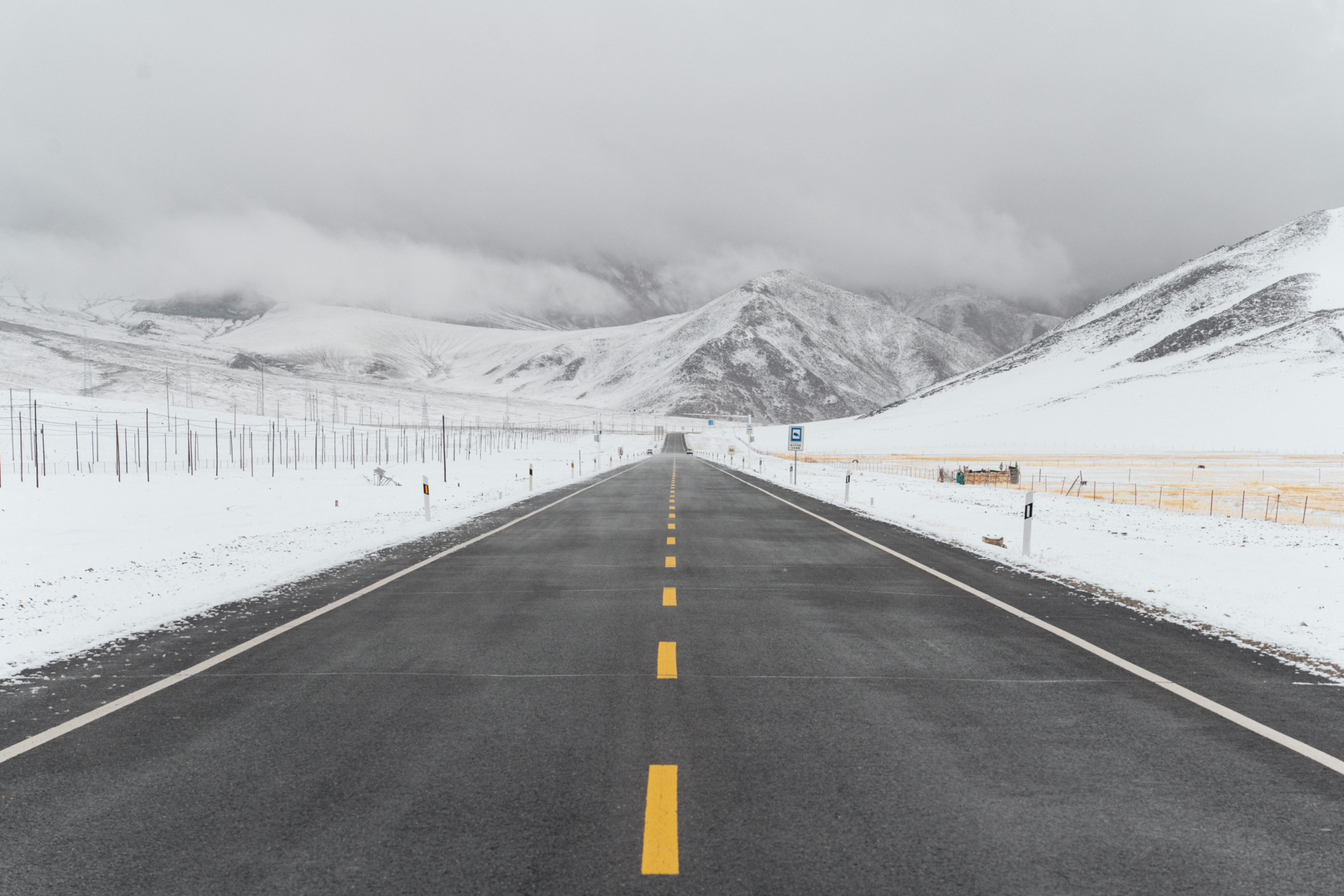
Once I returned and was back on the Karakoram Highway battling headwinds, the scenery here was no less impressive: A perfectly smooth asphalt road with a panorama of mountain peaks above 7000m, such as Konghur Tagh, with 7649m the highest mountain in the Pamir, made for a great cycling experience. Another peak was Muztagh Ata, standing 7546m tall, and located right next to the highway. This fact, and its rather gentle slope make it a popular peak for mountaineers training for some of the world’s highest mountains, such as Mt. Everest. While for me, it posed as a subject for lots of photos.
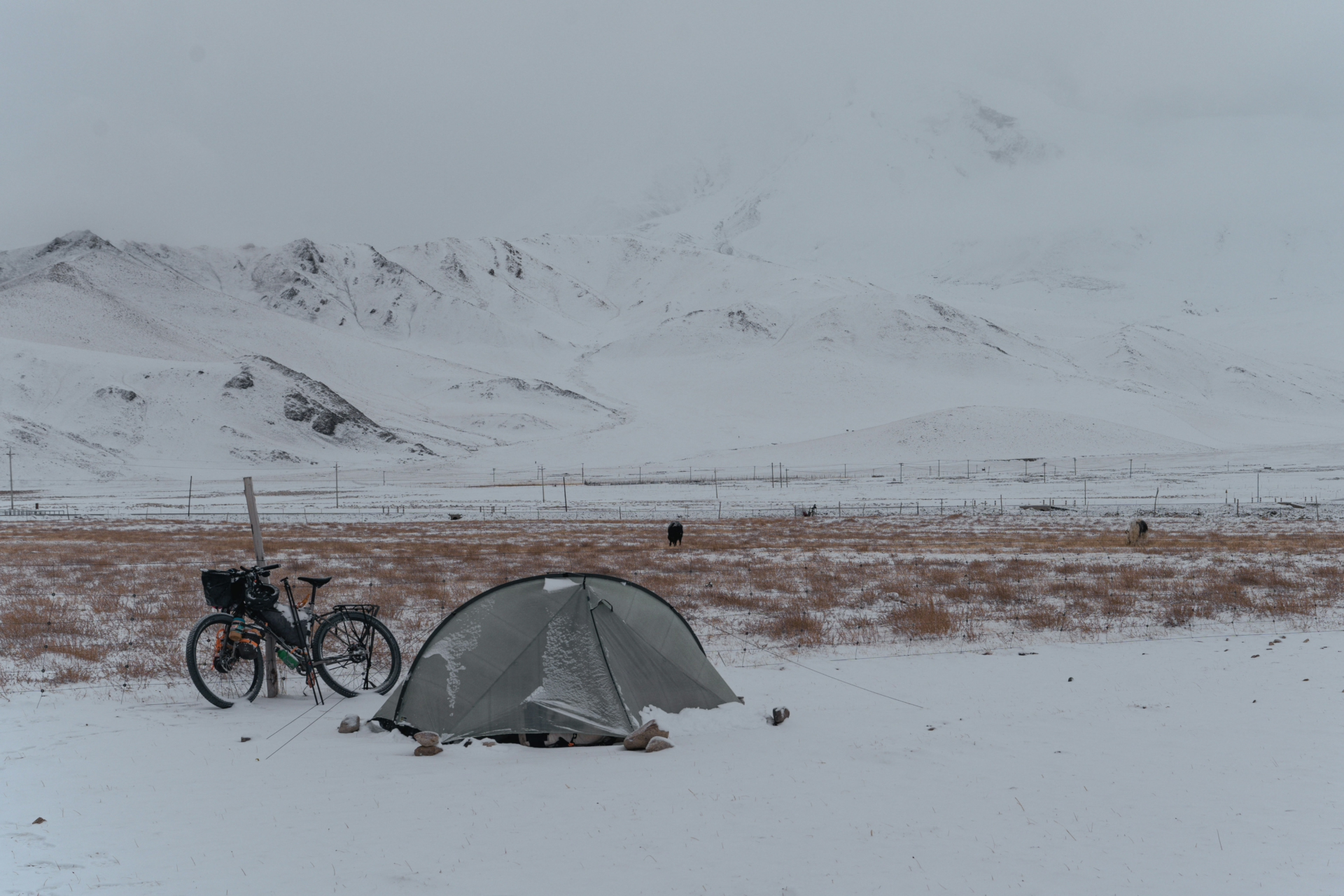
I decided to camp right in front of it, and when I woke up the following morning, I was surprised to find the landscape covered in ~5cm of fresh snow, which was a first for me on this trip.
Luckily the road was cleared and not icy, so I could continue towards Tashkurgan, the last major city in China before the highway crosses into Pakistan. On the way I cycled over a gentle 4150m pass, and passed by the Qolma Pass, which would lead into Tajikistan. While most of the towns & settlements on the Karakoram Highway are inhabited by Uyghurs or Kyrgyz, most of Tashkurgan’s population is ethnically Tajik & Wakhi, giving it a distinct culture. From here I would have to take a bus towards Pakistan, as one is not allowed to cross the world’s highest border, the Khunjerab Pass, independently.